


























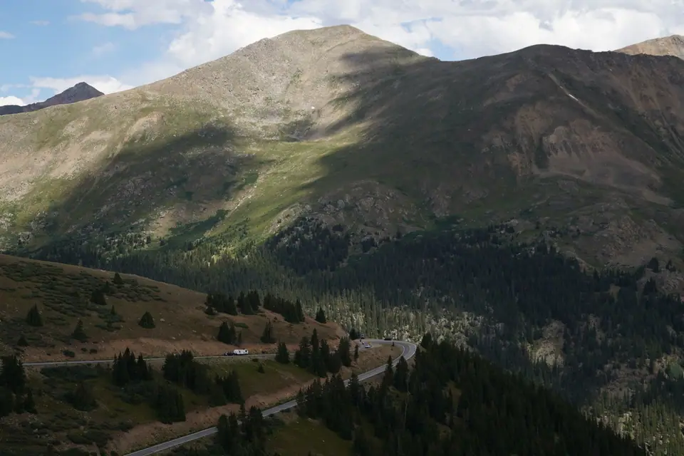
Driving 3,687m Independence Pass (Summer & Autumn): The Grottos Ice Caves & Independence Ghost Town
Driving one of America's highest paved mountain passes (3,687m / 12,095 ft), stopping at waterfall ice caves and an 1879 gold town.
Starting at the eastern edge of Downtown Aspen, Colorado State Highway 82 (the Top of the Rockies National Scenic Byway) climbs for 32 kilometres (20 miles / 40 minutes without stops) up the Roaring Fork canyon to the Continental Divide at 3,687 metres (12,095 feet) on Independence Pass, one of the highest paved passes in North America. Because winter snow buries the summit, Independence Pass is closed to vehicles from roughly early November until the Friday before Memorial Day in late May. Check CDOT conditions before driving in late May or October, and note that vehicles over 35 feet long are prohibited year-round.
The 4 Best Stops Driving East Up Independence Pass from Aspen (20 Miles to the Summit)
- Mile 5, Weller Lake Trail (1.9 km / 1.2 Miles Round-Trip, 40 Mins): a shaded pine-forest walk to a glacial boulder lake where trout jump. Compare longer alpine walks in our Aspen hiking guide.
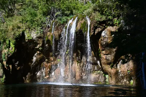
- Mile 9, The Grottos Trail (Cascades, Erratic Boulders & Ice Caves, 1.6 km Loop, Free): pull into the free Grottos car park and cross the footbridge over the Roaring Fork River. In 20 minutes you see three geological features: granite slot canyons and cascades carved by meltwater, house-sized boulders (glacial erratics), and the Grottos Ice Caves beneath wedged granite boulders.
- Mile 16, Independence Ghost Town (3,300m / 10,830 Feet): on 4 July 1879, prospectors struck gold here, founding the valley's first mining town (predating Aspen and 1880 Ashcroft Ghost Town). Over 1,500 miners lived here until the Valentine's Day Blizzard of 1899 buried the town; residents dismantled their cabin walls to fashion homemade skis and skied 16 miles down to Aspen. Walk a 1-kilometre trail through 20 weathered log cabins and the Farwell Stamp Mill (optional donation to the Aspen Historical Society).
- Mile 20, Independence Pass Summit Overlook (3,687m / 12,095 Feet, Continental Divide): park at the summit lot and walk the flat 400-metre alpine tundra boardwalk to the Continental Divide sign, looking straight at 4,398-metre (14,428-foot) Mount Elbert (Colorado's tallest peak) and La Plata Peak.
Traveller tips
Real advice from people who have been to Driving 3,687m Independence Pass (Summer & Autumn): The Grottos Ice Caves & Independence Ghost Town. Every tip is read by our team before it goes live.
No tips yet. Been here? Yours could be the first.
Thank you! Your tip will appear here after a quick review.
More in Aspen
Continue exploring Aspen with related neighbourhood, food, and planning guides
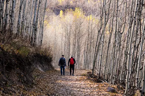
E-Biking the Car-Free Rio Grande Trail: From Downtown Aspen Downhill to the Woody Creek Tavern
Aspen, United States
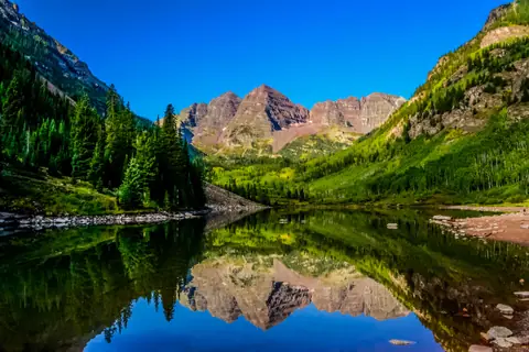
Best Hikes in Aspen: Smuggler Mountain Overlook (45 Mins), Hunter Creek & Cathedral Lake
Aspen, United States
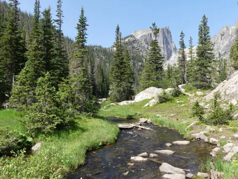
The John Denver Sanctuary (Song Boulders), Whitewater Rafting & Gold-Medal Fly-Fishing
Aspen, United States
50 Minutes Down-Valley: Glenwood Springs Geothermal Hot Springs & Hiking to Hanging Lake
Aspen, United States
