Photo: Arjandb · CC BY 3.0
Climbing the Dom Tower and Exploring the Oudegracht Wharves
We explore Utrecht from the 112-metre Dom Tower viewpoint down into medieval barrel-vaulted cellars lining the two-tier Oudegracht canals.
Utrecht reveals its medieval scale through a striking vertical contrast. Construction on the Dom Tower began on 26 June 1321 and finished in 1382. Reaching 112 metres, or exactly 112.32 metres, it remains the tallest church tower across the Netherlands. The highest open-air viewpoint sits at 95 metres above the cobblestones of Domplein. Reaching that windy balcony requires climbing 465 spiral stone steps on an official guided tour. There is no lift inside the historic brickwork. Backpacks and large bags must stay behind in free on-site lockers at the tour base, while opening arrangements appear in the VisitorFactsBox.
The ascent pauses inside vast chambers where heavy bronze instruments hang from timber frames. In 1505, Geert van Wou cast 13 historic bells weighing over 30,000 kilograms combined. The local Bellringers Guild still rings these massive bells entirely by hand. Higher up, the Hemony brothers added a 35-bell carillon in 1664, weighing 13,545 kilograms. On the evening of 1 August 1674, a severe tornado collapsed the cathedral nave, permanently separating the tower from the choir. That catastrophic storm created the open square we walk across today. After earlier restorations in 1519 to 1525, 1836, and 1901 to 1932, a five-year exterior restoration ran from 2019 until 9 November 2024, finally stripping away all scaffolding.
Dom Church, Pandhof Cloister, and DOMunder
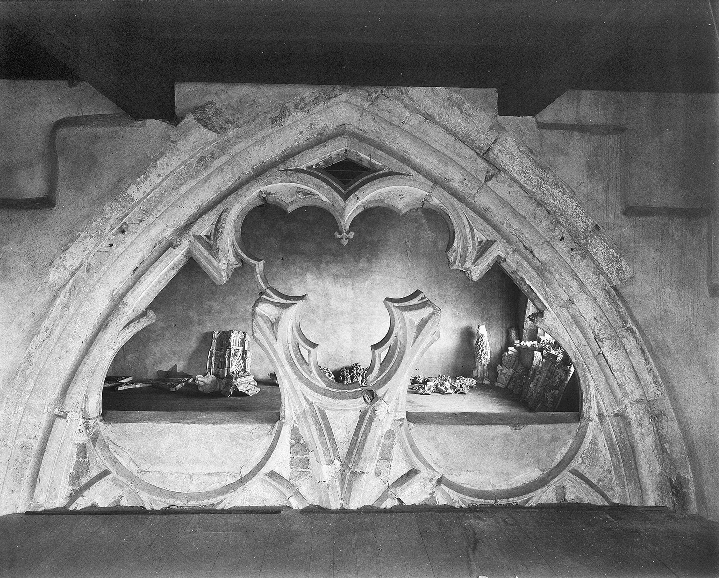
Directly across Domplein stands the surviving Gothic eastern end of St Martin's Cathedral. Entry to the Dom Church is free, with optional guided tours revealing quiet side chapels. An ornamental stone portal connects the church directly to the Pandhof cloister garden. Built between 1390 and 1440, this Gothic monastery quadrangle contains neat herb plots framed by pointed traceried arches. The cloister garden closes on King's Day on 27 April, on New Year's Eve on 31 December, and during university ceremonies. Visiting both the tower and cathedral anchors a broader survey of Utrecht's historic monuments and museum courtyards across the city.
Subterranean history awaits beneath the central cobblestones. Underground tours by DOMunder lead visitors beneath street level with smart flashlights. The subterranean route weaves through 2,000 years of archaeology, uncovering the ancient Roman fort Traiectum alongside collapsed medieval ruins. Nearby, Lofen Palace presents underground visits exploring medieval imperial palace foundations. Domplein stands roughly 1.1 kilometres east of the main railway station. Travellers can walk easily or board U-OV bus 2, which stops about 100 metres from the reception desk at Winkel van Utrecht. When planning a broader regional journey, you can link these sites into a comprehensive two-day Utrecht walking itinerary.
The Two-Tier Canals of the Oudegracht
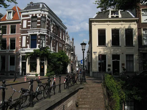
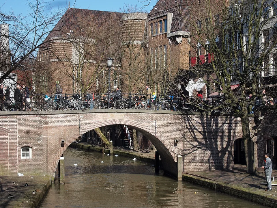
Descending from Domplein brings us to the water system that shaped local commercial wealth. The Oudegracht curves for roughly 2 kilometres through the medieval core. This ancient waterway functioned as an urban harbour where ships transferred cargo straight into domestic storehouses. Unlike Amsterdam's single-level waterways, the channels here honour a rare two-tier design. High street-level merchant houses sit well above stone wharves, known locally as werven. Deep barrel-vaulted cellars, or werfkelders, sit directly at the water edge.
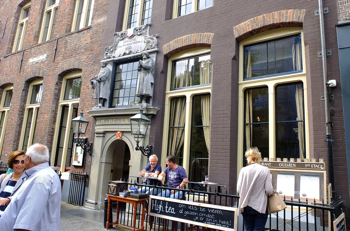
Private tunnels cut beneath the roadway once allowed dockers to wheel goods directly from barges into domestic basements. Today, those restored waterside cellars house relaxed dining terraces, craft workshops, and independent cafés. The pleasant pedestrian route runs from Bakkerbrug and Jansbrug straight past Stadskasteel Oudaen at Oudegracht 99. This fortified thirteenth-century brick town castle stands directly on the canal. Walking south brings us along Twijnstraat aan de Werf towards Ledig Erf, where old quays meet quiet waters. Travellers seeking orientation can review key logistics through essential transport tips for Utrecht before navigating the canal steps.
Nieuwegracht, Ring Canals, and Practical Navigation
A short walk eastward leads to the Nieuwegracht, excavated between 1390 and 1393 through the peaceful Museumkwartier. Instead of hospitality terraces, the Nieuwegracht displays sloping brick private gardens and tranquil arched bridges. Further out, the 1.1-kilometre Catharijnesingel reopened in September 2020 following a public referendum held in 2002. Restoring this lost stretch completed the navigable water ring encircling the old city beside Zocherpark. Before exploring, remember that climbing the Dom Tower demands solid physical stamina across 465 narrow spiral steps.
- Tours depart from the reception desk at Domplein 9.
- Backpacks and large daypacks must remain in the complimentary lockers before ascending.
- Stone steps connecting the street level to the lower Oudegracht wharves require careful footing.
- Historic cellar entrances along the canal retain low brick arches and centuries-old uneven flagstones.
- U-OV bus 2 drops passengers roughly 100 metres from the Winkel van Utrecht booking office.
Official prices and opening hours
- Dom Tower (Domtoren)Official site ↗
- Dom Church (Domkerk)Official site ↗
- Museum Speelklok (nearby at Buurkerk)Official site ↗
Where it is
- 1Climbing the Dom Tower and Exploring the Oudegracht Wharves
- Amsterdam Airport Schiphol (AMS) · about 34 km from here in a straight line
- Directions in Google Maps
Stations and taxi ranks: OpenStreetMap. Airports: OurAirports. Distances are in a straight line.
Traveller tips
Real advice from people who have been to Utrecht. Every tip is read by our team before it goes live.
No tips yet. Been here? Yours could be the first.
Thank you! Your tip will appear here after a quick review.
More in Utrecht
Continue exploring Utrecht with related neighbourhood, food, and planning guides