


























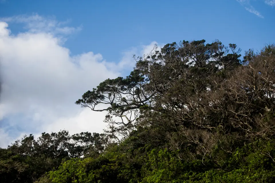
Quick Field Data
- UNESCO Inscription: 1993 (Natural, Criteria vii, ix; Property ID 662; designated a 18,958 ha UNESCO Biosphere Reserve in 1980 and a 10 ha Ramsar site at Nagata-hama on 8 November 2005).
- Scale & Footprint: 10,747-hectare primeval forest property extending from the centre of circular Yakushima Island (504.88 km² or 194.94 sq mi, 89 km circumference, 28 km diameter, peaking at Mount Miyanoura at 1,935 to 1,936 m), with 42% of the island inside Yakushima National Park.
- Access & Ticketing: Inhabited island municipality in Kagoshima Prefecture (population 11,858 in 2020 and 11,698 in 2022) with trail access to the interior cedar forests, hot springs (onsen), and coastal beaches; check the official site for mountain trail conditions and shuttle buses.
- Arrival Logistics: Located at 30.3150°N, 130.5086°E about 60 to 61.3 km (38.1 mi) south of the Ōsumi Peninsula in southern Kyushu (135 km or 73 nmi south of Kagoshima), reached via a 40-minute flight from Kagoshima Airport to Yakushima Airport (KUM) or by hydrofoil and car ferries to Miyanoura and Anbō ports.
Granite Peaks, Extreme Rainfall, and Vertical Plant Zonation
Situated at 30.3150 degrees north and 130.5086 degrees east in the East China Sea where the Palaearctic and Oriental biotic regions meet, Yakushima is one of the Ōsumi Islands within the Ryukyu Islands archipelago of Kagoshima Prefecture, Japan. Separated by the Tanegashima Strait (Tanegashima Kaikyō) from neighbouring Tanegashima (home to the Japanese Space Centre, whose periodic rocket launches are clearly visible from across the strait) and administered as part of the town (chō) of Yakushima together with Kuchinoerabujima, the island lies roughly 60 to 61.3 kilometres (38.1 mi) off the southernmost tip of the Ōsumi Peninsula in southern Kyushu, lying 135 km (or 73 nmi) southward from Kagoshima City. Formed of uplifted granite bedrock with no active volcanoes, the almost round-shaped island covers 504.5 to 504.88 square kilometres (194.8 to 194.94 sq mi), measuring 28 kilometres (17 mi) in diameter with an 89-kilometre (55 mi) coastal circumference. Dominating the interior are Mount Miyanoura (Miyanouradake), reaching 1,935 to 1,936 m (or 6,348 ft), and the second-highest peak of Nagatadake, reaching 1,886 m (or 6,188 ft), accompanied by 30 additional granite summits rising over 1,000 metres (3,300 ft) above sea level. Stretching outward from the central peaks with arms reaching south, east, and west to the coast is the 10,747-hectare World Heritage area, inscribed in 1993 alongside an 18,958-hectare (46,850-acre) UNESCO Man and the Biosphere Reserve designated in 1980 and Yakushima National Park, which covers 42% of the island.
Because moist ocean currents meet an abrupt 2,000-metre granite barrier, Yakushima is Japan's wettest place and ranks among the rainiest environments on earth. Classified at lower elevations as a humid subtropical climate (Köppen Cfa) where surrounding ocean temperatures never drop below 19 °C (66 °F), the island receives at least 250 millimetres (9.8 in) of precipitation in every month of the year, reaching 773 mm (or 30.4 in) during the month of June, while annual rainfall ranges between 4,000 millimetres on the coast and 8,000 to 10,000 millimetres (160 to 390 in) in the mountains, with heavy spring and summer downpours often triggering landslides. Simultaneously, the high central peaks are the southernmost place in Japan where winter snow accumulates for months. This abundant water powers more than 99% of Yakushima's electricity generation through hydroelectricity (as recorded in 2021), with surplus power used by Kagoshima University to produce hydrogen gas and by Honda as a test site for hydrogen fuel cell vehicle research.
Driven by this nearly 2,000-metre altitudinal gradient, Yakushima preserves an unbroken vertical sequence of plant distributions that is unmatched in the temperate Northern Hemisphere: ascending through coastal coral reefs and subtropical evergreen forests (part of the endangered Nansei Islands subtropical evergreen forests ecoregion) into warm-temperate and montane temperate rainforests before reaching high moors and cold-temperate bamboo grasslands crowning the central peaks. Adapted to annual rainfall exceeding 8,000 millimetres and constant mist, the montane temperate rainforest supports an extraordinary abundance of rheophytes (stream-zone plants) and epiphytes alongside hundreds of rare endemic Bryophyta (mosses and liverworts) and over 50 varieties of endemic flowers, including native rhododendrons.
Millennial Yakusugi Cedars, Jōmon Sugi, and Island Wildlife
Across the island, botanists have recorded roughly 1,900 plant species and subspecies of native flora, alongside 16 mammal species and more than 150 bird species. The defining botanical feature of the interior montane forest is the Japanese cedar (sugi, Cryptomeria japonica). On Yakushima, native cedar specimens that have lived for more than 1,000 years are called Yakusugi, whereas younger replanted stands are distinguished from these ancient giants. Although large areas of the island were logged since the early Edo period until commercial logging in the primary forest ended in the late 1960s (leaving behind the abandoned forest logging village of Kosugidani and Japan's last operating 762 mm narrow-gauge freight timber railway), the remaining primeval forest shelters individual Yakusugi of immense trunk diameter that stand thousands of years old. The most celebrated specimen is Jōmon Sugi, whose estimated age reaches back at least 2,300 years to the Jōmon period of Japanese prehistory (while a disputed 2009 paper examined whether airborne pollutants from China had affected the Yakushima white pine).
Inhabiting the forest canopy and mossy ravines are the island's two indigenous large mammals, the Yakushima macaque and a local subspecies of sika deer, accompanied by the non-native Japanese raccoon dog and the Japanese weasel (Mustela itatsi). Recognised by BirdLife International together with neighbouring Tanegashima as an Important Bird Area, the forests sustain breeding populations of the Japanese wood pigeon, Ryukyu green pigeon, and Ryukyu robin. Along the coast, where dolphins swim offshore above scattered coral reefs, the 10-hectare (25-acre) wetland beach of Nagata-hama (designated a Ramsar site in 1993 and listed as Ramsar Site 1559 on 8 November 2005) functions as the North Pacific's largest nesting ground for endangered loggerhead sea turtles.
Inhabited since the prehistoric Jōmon period, the island was first mentioned in 6th-century Chinese Sui dynasty texts (which recorded expeditions in 601 and 607 to the "Country of Liukiu"), recorded as part of Tane Province in the 702 CE Japanese chronicle Shoku Nihongi, and governed during the Edo period by the Satsuma Domain's Shimazu clan within Ōsumi Province before joining Kagoshima Prefecture after the Meiji restoration. After peaking at 24,010 residents in 1960, the population across the port towns of Miyanoura and Anbō and the coastal villages of Onoaida, Hirauchi, Kurio, and Nagata stabilised around 12,053 in 2020 (with census figures of 11,858 in 2020 and 11,698 in 2022, or 26.1 per km²), shifting from cedar shingle forestry and fishing toward oranges, tea, shōchū distilling, and eco-tourism. In recent years, Typhoon Noru caused one fatality on the island in 2017, and in November 2023 a V-22 Osprey aircraft of the United States Air Force crashed offshore, killing seven crew members with one missing. Globally, Yakushima's mossy cedar forests inspired the setting of Hayao Miyazaki's animated film Princess Mononoke, the Dremuchij forest setting in Metal Gear Solid 3 (subtitled Snake Eater), the home of Jun and Jin Kazama in Tekken, the landscapes of Oni: Thunder God's Tale, and episodes 1153 and 1154 of Detective Conan, and are detailed in Clive Witham's 2009 guidebook Yakushima: A Yakumonkey Guide.
Hiking to Jōmon Sugi, Nagata-hama, and Island Ferry Logistics
For Japan, the UNESCO World Heritage Atlas in 1993 under Criteria vii and ix, Yakushima is reached by a 40-minute flight from Kagoshima Airport to Yakushima Airport (KUM, located between Miyanoura and Anbō), by the Tanegayaku High Speed Ship Jetfoil ("Toppy" and "Rocket") linking Kagoshima Port (Minato Pier), Ibusuki Port, and Tanegashima (Nishinoomote Port) with Miyanoura or Anbō Port, or by car and cargo ferries including Orita Kisen's "Ferry Yakushima 2", the "Haibisukasu" from Taniyama Port 2 Ward, and Yakushima Town's "Ferry Taiyo" serving Kuchinoerabujima and Shimama Port (Minamitanemachi). You can locate Yakushima in the Ōsumi Islands on our interactive world map. Moss carpets every granite boulder.
- Trekking past Kosugidani to Jōmon Sugi and Mount Miyanoura: Follow the mountain trail and the historic 762 mm narrow-gauge timber railway past the abandoned logging village of Kosugidani into the montane temperate rainforest to stand before the 2,300-year-old Jōmon Sugi and ascend the granite dome of Miyanouradake (1,935 to 1,936 m) or Nagatadake (1,886 m).
- Observing vertical plant zonation between the coast and the high moors: Trace the western forest corridor where subtropical evergreen vegetation gives way to giant Yakusugi cedars, epiphytes, rheophytes, and endemic rhododendrons beneath cold-temperate bamboo grasslands, watching for Yakushima macaques and sika deer.
- Visiting the Nagata-hama turtle beach and coastal onsen: Explore the 10-hectare Ramsar wetland beach at Nagata-hama (the North Pacific's largest loggerhead sea turtle nesting ground) and bathe in the natural coastal hot springs (onsen) near the villages of Nagata, Kurio, Hirauchi, and Onoaida.
