


























Almaty Orientation: Uphill-Downhill Grid, Aryk Channels & Tian Shan Valleys
Understand how Almaty slopes from the Ili steppe up to the 4,000-metre Zailiyskiy Alatau mountains: navigate the Golden Square, Dostyk Avenue, Medeu and Shymbulak, and the eastern steppe canyons.
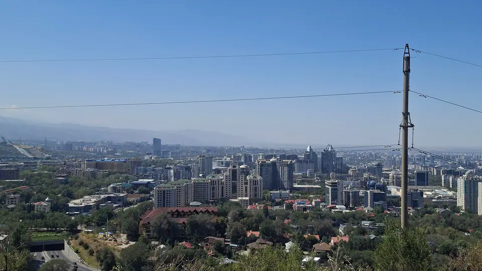
Understanding Almaty begins with its tilted topography. Built across an alluvial fan descending from the Zailiyskiy Alatau mountains toward the Ili steppe, the city rises continuously from north to south. Residents rarely use compass directions when giving addresses; instead, heading south toward the snowy summits and Al-Farabi Avenue is always described as going "up" (vverkh), while walking north toward Raimbek Avenue and the Almaty-1 railway station is going "down" (vniz). Alongside almost every north-south pavement, open concrete irrigation channels known as aryks carry cold snowmelt down from the Little and Big Almatinka rivers, cooling the canopy of elm, oak, and poplar trees during continental summer afternoons.
How the city and its mountain valleys fit together
Sightseeing divides naturally into four geographic zones that can be combined without backtracking:
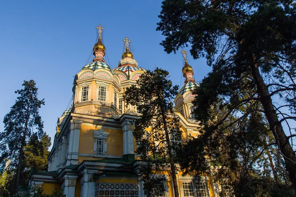
- The Golden Square (Zolotoy Kvadrat) and Panfilov Park: Bounded roughly by Nazarbayev, Abai, Ablai Khan, and Gogol streets, the historic nineteenth- and mid-twentieth-century core holds the timber Ascension (Zenkov) Cathedral, the Green Bazaar, the Abai Opera House, the Arasan Baths, and the willow-shaded pedestrian promenade of Panfilov Street.
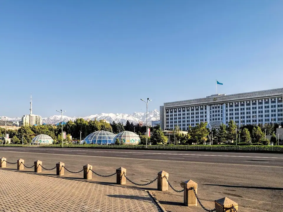
- Republic Square and Kok-Tobe: Further uphill along Dostyk Avenue, late-Soviet civic plazas and the Central State Museum sit below the cable car terminal climbing to Kok-Tobe Hill at 1,100 metres.
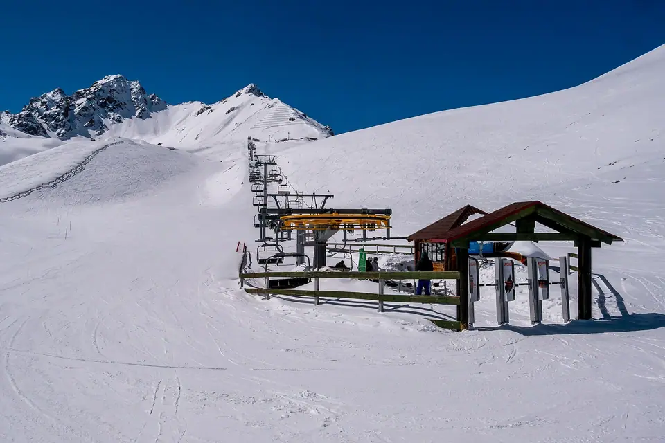
- Medeu and Shymbulak (Little Almatinka Gorge): Fifteen kilometres south of the centre, bus 12 and electric shuttles ascend past apple orchards to the Medeu skating stadium (1,691 metres) and the three-stage Shymbulak gondola reaching Talgar Pass (3,200 metres).
- The Zhetysu Steppe and Kungei Alatau: East of the city, highways cross the Ili River basin toward Charyn Canyon, Altyn-Emel National Park, and the alpine conifer basins of Kolsai and Kaindy lakes near the Kyrgyz border.
Planning your days and money
Most visitors spend two full days walking the leafy avenues of the Golden Square, riding the Almaty Metro, and ascending Shymbulak, then dedicate two or three additional days to Charyn Canyon and the Kolsai Lakes. The national currency is the Kazakhstani tenge (KZT). Contactless Visa, Mastercard, and Apple Pay are widely accepted in restaurants, supermarkets, the metro, and city buses, though carrying tenge banknotes remains essential for dried fruit stalls inside the Green Bazaar and rural guesthouses in Saty village. Check our 3-day Almaty itinerary and where to stay in Almaty guides to structure your base.
Traveller tips
Real advice from people who have been to Almaty Orientation: Uphill-Downhill Grid, Aryk Channels & Tian Shan Valleys. Every tip is read by our team before it goes live.
No tips yet. Been here? Yours could be the first.
Thank you! Your tip will appear here after a quick review.
More in Almaty
Continue exploring Almaty with related neighbourhood, food, and planning guides
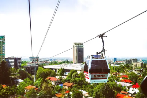
Kok-Tobe Hill Cable Car, Hotel Kazakhstan, Palace of the Republic & Republic Square
Almaty, Kazakhstan
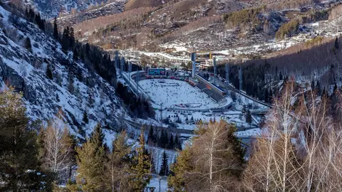
Medeu High-Altitude Ice Rink (1,691m), 842-Step Dam & Shymbulak Gondola to Talgar Pass
Almaty, Kazakhstan
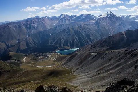
Big Almaty Lake (2,511m), Ile-Alatau National Park, Submerged Lake Kaindy & Kolsai Lakes
Almaty, Kazakhstan
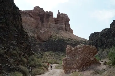
Charyn Canyon (Valley of Castles) & Altyn-Emel National Park (Singing Dune & Aktau)
Almaty, Kazakhstan
