


























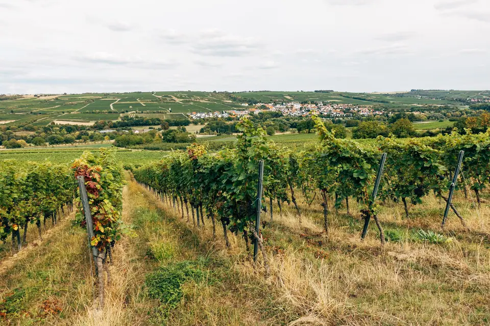
Driving Napa Valley: Highway 29 vs the Scenic Silverado Trail and Cross-Roads
Comparing Napa's two parallel wine roads: flagship Highway 29 on the west versus the curving, uncrowded Silverado Trail on the east.
Napa Valley's geography is a road-tripper's dream: the entire 48-kilometre (30-mile) valley floor between the City of Napa in the south and Calistoga in the north is framed like a ladder by two parallel north to south roads, State Route 29 on the west and the Silverado Trail on the east, connected every few miles by flat, scenic east to west 'Cross-Roads' (Yountville Cross Road, Oakville Cross Road, Rutherford Cross Road and Zinfandel Lane).
1. Highway 29 (The Western Spine: Towns, Flagship Estates & Photo Icons)
If it is your first morning in Napa Valley, drive north up Highway 29 (best driven in the morning, as the two-lane stretch between Yountville and St. Helena gets slow traffic on Friday and Saturday afternoons):
- The Famous 'Welcome to Napa Valley' Sign (Two Locations on Hwy 29): pull safely onto the wide paved shoulder on Highway 29 just north of Yountville (at the southern boundary of Oakville, or at the twin sign north of St. Helena at Larkmead Lane) to snap your photo beside the carved redwood sign reading 'Welcome to this world famous wine growing region, Napa Valley'.
- Grand Flagship Estates Along Highway 29: passes directly in front of the Mission-style arch of Robert Mondavi Winery, Opus One, Francis Ford Coppola's 1880 château at Inglenook, the 35-foot stainless-steel bunny sculpture (Bunny Foo-Foo) leaping over the vines at HALL Wines south of St. Helena, Beringer Vineyards and Castello di Amorosa.
2. The Silverado Trail (The Eastern Rim: Views & Boutique Estates)
Running for 47 kilometres along the elevated eastern foothills of the Vaca Mountains from Napa to Calistoga, the Silverado Trail has almost no traffic lights, no commercial towns, and 70% less traffic than Highway 29. Drive north on Highway 29 in the morning and return south along the curving Silverado Trail in the afternoon, passing through the volcanic palisades of the Stags Leap District (Stag's Leap Wine Cellars, Clos Du Val, Chimney Rock, Pine Ridge), the hillside terraces of Quintessa, Joseph Phelps and Mumm Napa (famous for its sparkling wine patio and its free museum gallery of 27 original Ansel Adams photographs), and ducking across the 2-mile Oakville Cross Road at golden hour.
Traveller tips
Real advice from people who have been to Driving Napa Valley: Highway 29 vs the Scenic Silverado Trail and Cross-Roads. Every tip is read by our team before it goes live.
No tips yet. Been here? Yours could be the first.
Thank you! Your tip will appear here after a quick review.
More in Napa Valley
Continue exploring Napa Valley with related neighbourhood, food, and planning guides

Where to Eat in Napa Valley: Oakville Grocery Picnics, Gott's Roadside, Bistro Jeanty & Michelin Dining
Napa Valley, United States
Getting to Napa Valley from San Francisco (SFO, 75 Mins), Oakland (OAK), Sacramento & Sonoma
Napa Valley, United States
Getting Around Napa Wineries Safely: Why Uber Fails Up-Valley, Hiring a Driver & VINE Bus Route 10
Napa Valley, United States
Where to Stay in Napa Valley: Comparing the 5 Towns (Downtown Napa vs Yountville, St. Helena & Calistoga)
Napa Valley, United States
