How to Get to New Orleans
From the airport to the Quarter, and how to use the streetcars.
Short answer: from the airport, a taxi or rideshare is the simplest way to reach the French Quarter, in about half an hour outside rush hour. The Airport Express bus is much cheaper and slower. Once in town, walk and ride the streetcars.
From the airport (MSY)
Louis Armstrong New Orleans International Airport, named after the city's most famous musician, is in Kenner, about 15 miles west of the French Quarter. Its terminal opened in 2019.
- Taxi. Taxis charge a set fare to the French Quarter and the CBD for up to two passengers. From three people up, a per-person rate applies instead, so a group of four may do better with a large rideshare. Check the current rates at the rank.
- Rideshare. Pick-ups are from a marked zone outside the terminal.
- Airport Express bus. The RTA's 202 bus runs to the CBD, stopping at Union Passenger Terminal and along Poydras Street. It is by far the cheapest option but runs only about once an hour, so check the timetable in the Le Pass app before relying on it for a late arrival.
By train and bus
Amtrak's Union Passenger Terminal, near the Superdome, has three long-distance trains: the City of New Orleans north to Memphis and Chicago, the Crescent east to Atlanta, Washington and New York, and the Sunset Limited west to Houston and Los Angeles. They are slow journeys rather than quick transport, but the scenery is the point. The Mardi Gras Service, launched in August 2025, is the practical exception: two trains a day along the Mississippi Gulf Coast to Mobile, stopping at Bay St. Louis, Gulfport and Biloxi. Long-distance buses use the same terminal.
By car
New Orleans is on Interstate 10, about five and a half hours from Houston by car. If you drive, leave the car at the hotel. Parking in the French Quarter is scarce and expensive, and many streets are closed to traffic during festivals and parades.
Getting around
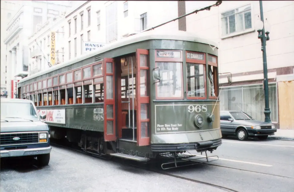
Walking covers the French Quarter and the Marigny. The streetcars are the next step: the St. Charles line for the Garden District and Uptown, the Canal line for Mid-City and City Park, and the Riverfront line along the Mississippi. Buses fill the gaps. Buy passes in the Le Pass app, or pay on board with exact change. The Canal Street ferry crosses the river to Algiers Point, and bike-share bikes are dotted around the centre. At night, use a taxi or rideshare for longer trips.
Our where to stay guide explains which areas are on the streetcar lines, and our travel guide covers safety at night.
Traveller tips
Real advice from people who have been to How to Get to New Orleans. Every tip is read by our team before it goes live.
No tips yet. Been here? Yours could be the first.
Thank you! Your tip will appear here after a quick review.
More in New Orleans
Continue exploring New Orleans with related neighbourhood, food, and planning guides