


























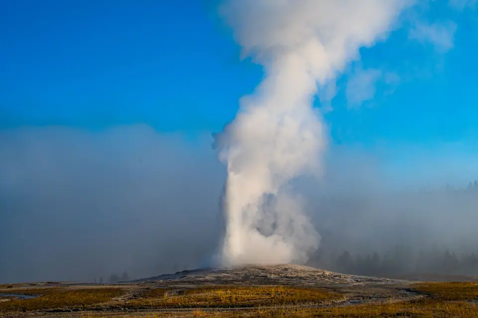
Yellowstone's Best Day Hikes Beyond the Boardwalks: Fairy Falls, Mystic Falls, Storm Point & Mt Washburn
Leaving 98% of park visitors behind on five easy-to-moderate trails, to a 60m waterfall, a playful otter lake and a 3,122m fire-lookout peak.
Here is a remarkable statistic from the National Park Service: 98 percent of Yellowstone's 4.5 million annual visitors never walk more than 800 metres (half a mile) from their car or the wooden thermal boardwalks. That means the moment you step onto any of the five trails below, the crowds vanish completely.
1. Three Easy-to-Moderate Trails Under 2 Hours
- Fairy Falls & Imperial Geyser (8.0 km / 5 Miles Round-Trip | Flat | 2 Hours): already walking to the Grand Prismatic Overlook? Instead of turning back at the platform, walk 2.8 km further through young lodgepole-pine forest on a flat path to stand in the cool mist at the base of 60-metre (200-foot) Fairy Falls, one of the tallest and prettiest waterfalls in Yellowstone. With another 20 minutes, walk 800m past the waterfall to Imperial Geyser, a backcountry turquoise pool that splashes continuously.
- Storm Point Trail on Yellowstone Lake (3.7 km / 2.3 Miles Flat Loop | 1 Hour, Near Fishing Bridge): walks across an open wildflower meadow (famous for playful yellow-bellied marmots) to a windswept rocky promontory jutting into Yellowstone Lake and loops back through coastal-feeling forest.
- Trout Lake in Lamar Valley (1.9 km / 1.2 Miles Loop | 45 Mins): a short 10-minute uphill climb off the Northeast Entrance Road in Lamar Valley leads to a mountain tarn where a resident family of River Otters hunts spawning cutthroat trout.
2. Two Half-Day Viewpoint Hikes: 'Mystic Falls' & 'Mount Washburn (3,122m)'
- Mystic Falls & Biscuit Basin Overlook Loop (5.6 km / 3.5 Miles Loop | 180m Gain | 2 Hours): starts behind Sapphire Pool at Biscuit Basin (3 km north of Old Faithful), follows the Little Firehole River to cascading 21-metre Mystic Falls, and loops up to a ridge overlook above the entire Upper Geyser Basin.
- Mount Washburn Summit via Dunraven Pass (9.6 km / 6.0 Miles Round-Trip | 425m Gain | 3 to 4 Hours): follows a wide gravel service road up through bighorn-sheep pastures to a staffed fire-lookout tower at 3,122 metres (10,243 feet) with a 360-degree view over the Yellowstone Caldera (best hiked in July, August and October; avoid northern slopes in September when grizzlies forage for pine nuts).
Traveller tips
Real advice from people who have been to Yellowstone's Best Day Hikes Beyond the Boardwalks: Fairy Falls, Mystic Falls, Storm Point & Mt Washburn. Every tip is read by our team before it goes live.
No tips yet. Been here? Yours could be the first.
Thank you! Your tip will appear here after a quick review.
More in Yellowstone
Continue exploring Yellowstone with related neighbourhood, food, and planning guides
Driving the Beartooth Highway (US-212, 3,337m Summit) & Chief Joseph Scenic Byway
Yellowstone, United States
Yellowstone in Winter: Snowcoach Tours to Old Faithful & Wolf Watching in Lamar Valley
Yellowstone, United States
Where to Eat in Yellowstone: Old Faithful Inn, Huckleberry Ice Cream, Bison & Trail Picnics
Yellowstone, United States
Getting to Yellowstone: Comparing the 5 Airports (BZN, JAC, WYS, COD & IDA) & 5 Park Entrances
Yellowstone, United States
