


























Panama City Orientation: Coastal Arc, Cinta Costera, Casco Antiguo & Canal Zone
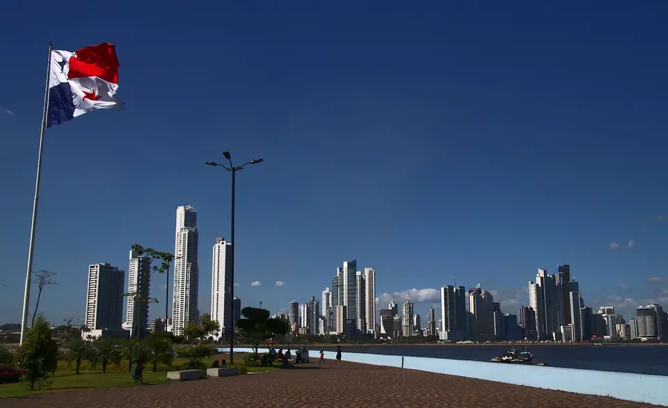
Understand how Panama City stretches along the Bay of Panama from the 1519 ruins of Panama Viejo across the Cinta Costera to 1673 Casco Antiguo, the Amador Causeway, and the Panama Canal.
Stretching in a twelve-kilometre crescent along the northern shore of the Gulf of Panama, Panama City is shaped by two boundaries: the Pacific tide in front and the protected tropical forests of the Panama Canal watershed directly behind. Because the Isthmus of Panama twists in an S-curve, the geography here surprises almost every first-time visitor: the Pacific Ocean lies at the southern end of the Canal, the Caribbean Sea lies to the north, and the sun rises over the Pacific waters of the Bay of Panama each morning.
How the four coastal and canal zones connect
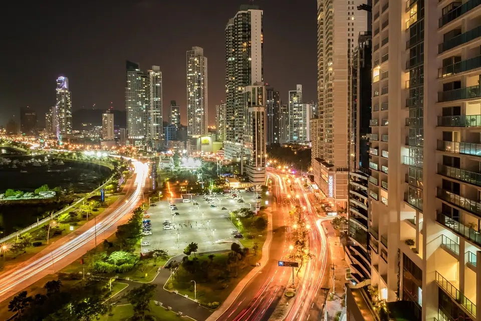
Sightseeing across the capital falls into four distinct corridors linked by the waterfront promenade and the metro:
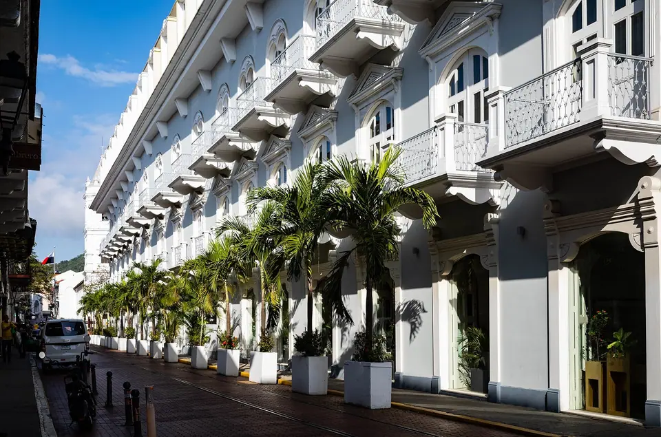
- Casco Antiguo (San Felipe): The 1673 walled colonial peninsula at the southwestern end of the bay, home to four historic plazas, the Presidential Palace (Palacio de las Garzas), the Interoceanic Canal Museum, and boutique rooftop hotels.
- The Cinta Costera, Bella Vista, and Obarrio: A 7-kilometre landscaped pedestrian and cycling parkway (Cinta Costera) loops around Casco Antiguo on a marine viaduct and runs northeast along Avenida Balboa past the Fish Market (Mercado de Mariscos) and the modern glass high-rises of Bella Vista, Marbella, Obarrio, and Punta Pacífica.
- Panamá Viejo (Old Panama): Eight kilometres northeast of downtown, the 28-hectare UNESCO archaeological park preserves the stone towers and convents of the original 1519 Spanish settlement.
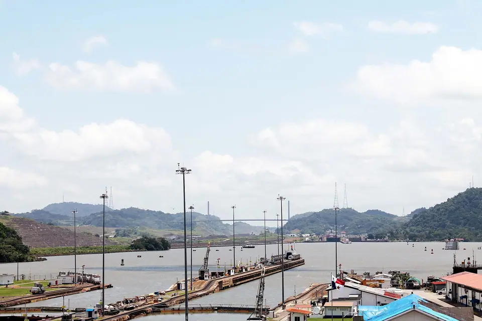
- Amador Causeway and the Canal Zone: West of Casco Antiguo, the 6-kilometre Amador Causeway juts into the Pacific beside Frank Gehry's Biomuseo, while the Miraflores Locks and Metropolitan Natural Park follow the eastern bank of the Panama Canal.
Currency, drinking water, and trip planning
Since 1904, Panama has used the United States Dollar (USD) as legal tender at a fixed 1:1 parity with the Panamanian Balboa (PAB). Panama issues its own Balboa coins (matched in size and weight to US quarters, dimes, and nickels, plus a one-balboa bimetal coin known locally as a Martinelli), while all paper banknotes are US dollars. Municipal tap water in Panama City, filtered from the Chagres and Gatun basin, is safe to drink across urban hotels. Check our 3-day Panama City itinerary and where to stay in Panama City guides to organise your route.
Traveller tips
Real advice from people who have been to Panama City Orientation: Coastal Arc, Cinta Costera, Casco Antiguo & Canal Zone. Every tip is read by our team before it goes live.
No tips yet. Been here? Yours could be the first.
Thank you! Your tip will appear here after a quick review.
More in Panama City
Continue exploring Panama City with related neighbourhood, food, and planning guides
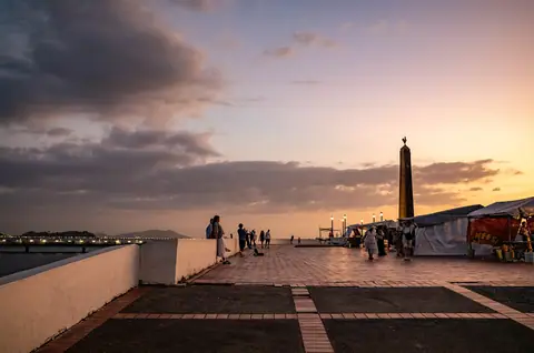
Casco Antiguo (San Felipe) Walking Guide: Four Plazas, Golden Altar & Museo del Canal
Panama City, Panama
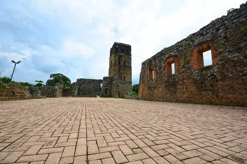
Panamá Viejo (1519 Ruins), Frank Gehry's Biomuseo & Amador Causeway Guide
Panama City, Panama
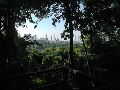
Metropolitan Natural Park, Soberanía National Park (Pipeline Road) & Gatun Lake Guide
Panama City, Panama
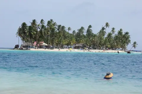
San Blas Islands (Guna Yala), Taboga Island & Contadora (Pearl Islands) Day Trips
Panama City, Panama
