


























Reykjavik Orientation: Midborg 101, Old Harbour, Perlan & Geothermal Valleys
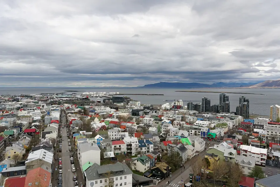
Understand how Reykjavik is laid out across the Seltjarnarnes peninsula: connect central Midborg (101), Tjornin lake, and Hallgrimskirkja with the Old Harbour, Oskjuhlid hill, and the Reykjanes Peninsula.
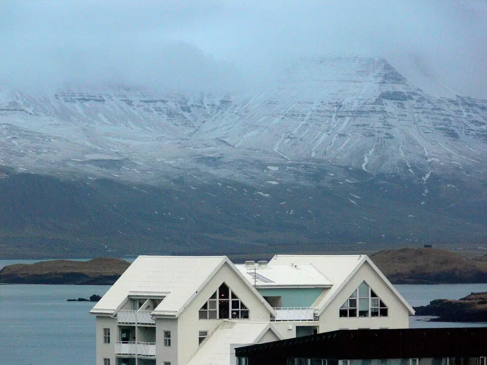
Extending westward into Faxaflói Bay on the Seltjarnarnes peninsula with the flat-topped basalt wall of Mount Esja (914m) rising across the water to the north, Reykjavík is the most walkable capital in northern Europe. Although the Greater Capital Region (*Höfuðborgarsvæðið*) spreads across six neighbouring municipalities, almost every landmark inside the city sits within four compact districts.
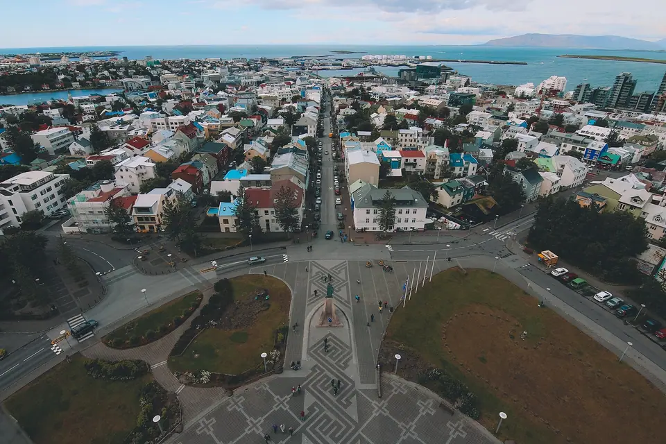
Four Geographic Zones That Anchor Every Reykjavik Stay
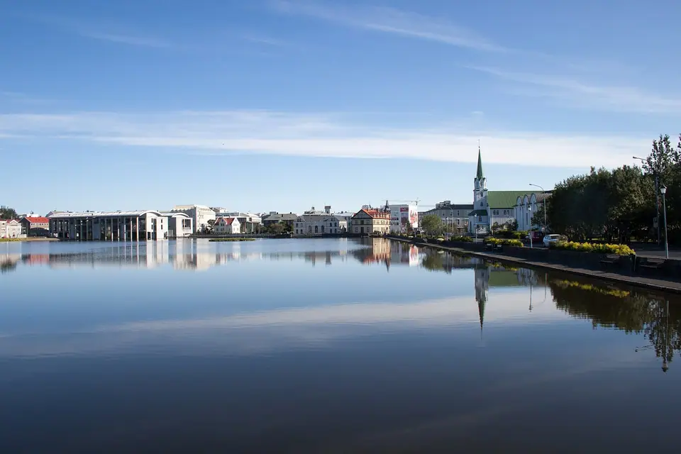
- Miðborg (Postcode 101) & Skólavörðuholt: The historic core stretching from the 1881 Parliament House on Austurvöllur Square and bird-filled Tjörnin lake up the pedestrian shopping spines of Laugavegur, Bankastræti, and Rainbow-painted Skólavörðustígur to the 74.5-metre tower of Hallgrímskirkja.
- The Old Harbour (Gömlu Höfnin), Harpa & Grandi: Directly north of Miðborg, the working marine basin links the geometric glass facade of Harpa Concert Hall with whale-watching and puffin-cruise piers and the converted fish-packing sheds, bakeries, and museums of the Grandi Harbour District.
- Vatnsmýri, Öskjuhlíð Hill & Kársnes (South): One to four kilometres south of Tjörnin sit the National Museum of Iceland and the glass dome of Perlan, Reykjavík Domestic Airport (RKV), Nauthólsvík Geothermal Beach, and oceanfront Sky Lagoon.
- Laugardalur & Seltjarnarnes (East & West Tips): Three kilometres east lies the steaming geothermal park of Laugardalslaug, while five kilometres west at the tip of the peninsula stands dark-sky Grótta Lighthouse.
Cashless Payments & Pink Tour Bus Stops 1 to 16
Iceland operates almost entirely without physical cash: contactless Visa and Mastercard cards (and Apple/Google Pay) are accepted for every purchase regardless of size. Because full-size coaches are prohibited from narrow downtown lanes, all day trips to the Golden Circle and South Coast pick up passengers at 16 numbered pink-signed Tour Bus Stops positioned within two blocks of every central hotel.
Traveller tips
Real advice from people who have been to Reykjavik Orientation: Midborg 101, Old Harbour, Perlan & Geothermal Valleys. Every tip is read by our team before it goes live.
No tips yet. Been here? Yours could be the first.
Thank you! Your tip will appear here after a quick review.
More in Reykjavik
Continue exploring Reykjavik with related neighbourhood, food, and planning guides
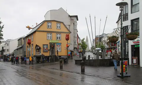
Downtown Midborg Walk: Rainbow Street, Laugavegur, 1881 Parliament, Tjornin & Old Harbour
Reykjavik, Iceland
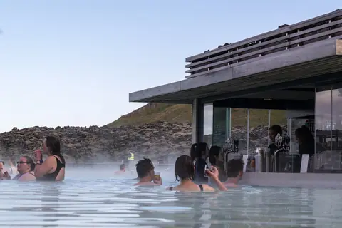
Reykjavik Geothermal Pools, Sky Lagoon & Blue Lagoon: Complete Bathing Guide
Reykjavik, Iceland
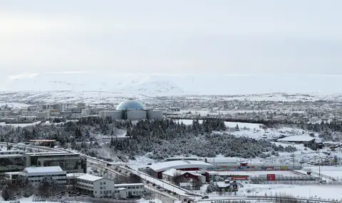
National Museum of Iceland, Perlan Ice Cave & the 871 CE Settlement Exhibition
Reykjavik, Iceland
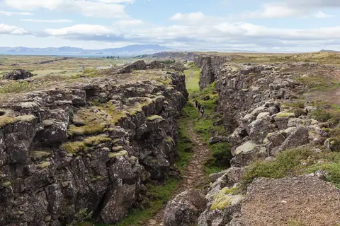
The Golden Circle Day Trip from Reykjavik: Thingvellir, Strokkur Geyser & Gullfoss
Reykjavik, Iceland
