


























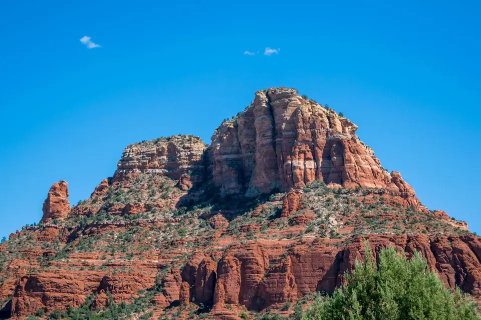
Oak Creek Canyon Scenic Drive (Highway 89A): Slide Rock State Park & the West Fork Trail
Driving 10 minutes north of hot red rocks into a shady, spring-fed river gorge, home to Slide Rock and the 13 stream crossings of the West Fork Trail.
Immediately north of Uptown Sedona, Arizona State Route 89A plunges into Oak Creek Canyon, a lush, 25-kilometre-long (16-mile), 600-metre-deep river gorge shaded by ponderosa pines, Arizona sycamores and bigtooth maples. Because spring-fed Oak Creek runs cold and clear year-round, temperatures inside the gorge are 5°C to 8°C cooler than out on the sunny red rocks, making it Sedona's top summer oasis and autumn foliage drive.
1. The West Fork of Oak Creek Trail (Call of the Canyon, 10.5 km Round-Trip)
Located 15 kilometres north of Uptown at Milepost 385.2, Call of the Canyon Day-Use Area (check the official site for the per-car or walk-in fee, and arrive early in the morning in summer and October before the 100-car park fills):
- Why It Is a Classic Arizona Walk: with virtually no elevation gain (under 100 metres over 3.2 miles), the trail enters a shaded box canyon past the ruins of 1920s Mayhew's Lodge (where Zane Grey wrote Call of the Canyon and Walt Disney holidayed) and crosses 13 shallow, crystal-clear stream crossings on stepping stones and log bridges. In late October and early November, the canyon glows with red and gold maple leaves.
2. Slide Rock State Park (7 Miles North of Uptown)
At Milepost 381.7 sits Slide Rock State Park (open daily from morning; check the official site for seasonal per-car entry rates): Oak Creek flows over a gently sloping bed of crimson Supai sandstone coated in slippery water algae, forming a 24-metre-long (80-foot) natural rock chute where swimmers slide into emerald pools. Wear denim cut-off shorts over your swimsuit and strapped water shoes.
3. Midgley Bridge, Grasshopper Point & Oak Creek Canyon Vista
Pause two miles north of Uptown at the 1939 steel arch of Midgley Bridge or swim at Grasshopper Point. At the northern end of the canyon, Highway 89A climbs 400 vertical metres up six hairpin switchbacks to Oak Creek Canyon Vista (1,950m elevation), where a free overlook and Native American artisan market look down the gorge.
Traveller tips
Real advice from people who have been to Oak Creek Canyon Scenic Drive (Highway 89A): Slide Rock State Park & the West Fork Trail. Every tip is read by our team before it goes live.
No tips yet. Been here? Yours could be the first.
Thank you! Your tip will appear here after a quick review.
More in Sedona
Continue exploring Sedona with related neighbourhood, food, and planning guides
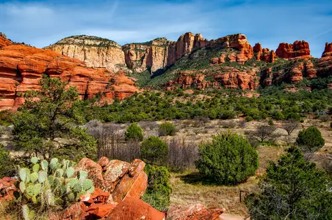
Best Time to Visit Sedona: Spring Wildflowers, October Canyon Foliage, Summer Creek & Mild Winters
Sedona, United States
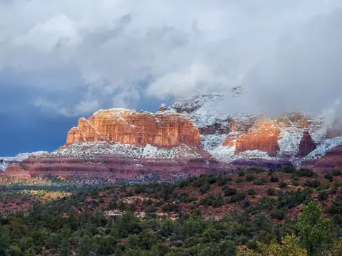
What to Wear in Sedona: Sticky-Rubber Trail Shoes for Slickrock, Slide Rock Denim & Layers
Sedona, United States
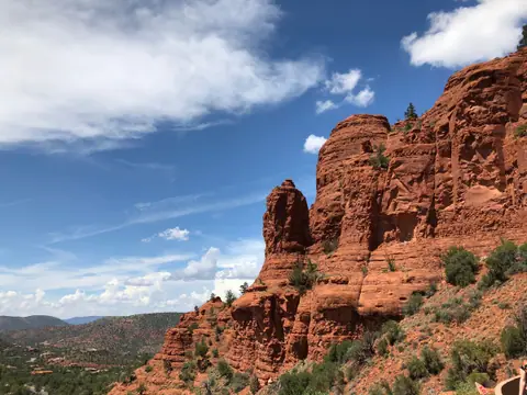
3 Days in Sedona: Cathedral Rock, Devil's Bridge, Subway Cave, Oak Creek Canyon & Jerome
Sedona, United States
Sedona: What to Know Before You Go
Sedona, United States
