Quick Field Data
- UNESCO Inscription: Natural World Heritage Site (Ref. 999), inscribed in 2000 under Criteria (vii), (ix), and (x).
- Scale & Footprint: 187,818 hectares linking four contiguous reserves (Pantanal Matogrossense National Park and the Special Reserves of Acurizal, Penha, and Doroche), representing 1.3 percent of Brazil's 14,000,000-hectare Pantanal wetland.
- Access & Ticketing: Pantanal Matogrossense National Park operates under strict integral protection by ICMBio (and is a Biosphere Reserve and Ramsar site), while the three Special Reserves are managed by the Ecotropica Foundation; boat and lodge access requires advance ranger or reserve permits.
- Arrival Logistics: No commercial airport sits inside this isolated border confluence in southwestern Mato Grosso and northwestern Mato Grosso do Sul. Visitors access the complex by chartered boat or light river expeditions from regional Mato Grosso gateways, while Foz do Iguacu lies 920 km southeast.
Pre-Andean Basin Geology and the Flood Pulse of the Paraguay River
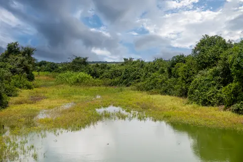
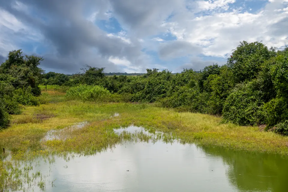
Anchored where southwestern Mato Grosso meets northwestern Mato Grosso do Sul along Brazil's borders with Bolivia and Paraguay, the Pantanal Conservation Area protects 187,818 hectares at the confluence of the Cuiaba and Paraguay headwaters. This four-reserve complex covers only 1.3 percent of the wider Pantanal, a freshwater wetland spanning 140,000 to 195,000 square kilometres, or roughly 14,000,000 hectares. Lying mostly across those two Brazilian states with extensions into Bolivia and Paraguay, the reserve anchors the transition between lowland marshes and the abrupt Amolar mountain escarpments rising up to 900 metres.
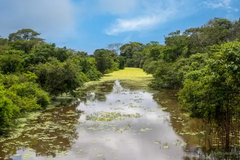
The Pantanal takes its name from the Portuguese and Spanish word pantano (swamp or marsh) plus the collective suffix -al. Geologically, it occupies a concave pre-Andean crustal depression formed during Tertiary Andean uplift, sitting 80 to 150 metres above sea level within the 1.5-million-square-kilometre Parana-Paraguay plain. Functioning as an enormous inland river delta, the basin catches heavy runoff from surrounding Planalto highlands and releases it south through the Paraguay River. Flat gradients and dense aquatic vegetation slow outflow to crawl speeds of 2 to 10 centimetres per second. Soils grade across micro-elevations from higher sandy banks and levees down to dense clay and silt beds in low riverine basins.
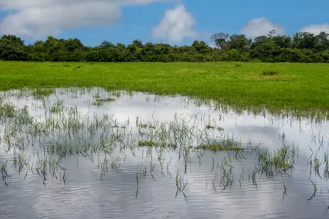
Seasonally reversing wet and dry hydrology defines every ecological rhythm across the 12 recognised Pantanal subregions. Under a tropical wet-and-dry climate, temperatures average 24 degrees Celsius annually and vary roughly 6.0 degrees Celsius across the year, peaking near 26 degrees Celsius in November and dipping to 20 degrees Celsius in June. Extremes touch 41 degrees Celsius or drop near minus 1 degree Celsius. Annual rainfall totals 1,000 to 1,500 mm (920 to 1,540 mm in 1968 to 2000 records), falling mainly from October to April, peaking at 340 mm in January against 3 mm in June. During flood peak, roughly 80 percent of the Pantanal plain submerges as Paraguay River levels rise 2 to 5 metres. As rising water first meets dry organic soils, microbial decomposition strips oxygen from the shallow sheet flood. Natural fish kills follow in oxygen-starved backwaters, possibly aided by toxin-producing bacteria flourishing in deoxygenated water, before levels recede slowly into temporary dry-season lagoons.
Crossroads of Five Biomes and Keynote Species From Jaguar to Apple Snail
The Pantanal sits ringed by contrasting South American ecosystems: Chiquitano dry forests west and northwest, Arid and Humid Chaco southwest and south, Cerrado savannas north, east, and southeast, northern Amazonian moist forest, and Atlantic biome influences. Its flora weaves elements from all surrounding regions into roughly 2,000 plant species catalogued by Brazilian agricultural institute Embrapa, including many noted for medicinal potential. Gallery forests crown elevated sandy hummocks and steep Serra do Amolar slopes, while inundated grasslands blanket clay and silt floodplains. Driven by deep annual flooding and acute dry-season water stress, these contrasts leave giant aquatic water lilies floating yards from towering semi-arid cacti anchored on rocky cliffs.
Within the UNESCO reserve cluster specifically, surveys document around 80 mammal species, 650 bird species, 50 reptile species, and 300 fish species. Across the broader Pantanal, counts reach 463 to 650 birds, 269 to 300 fish, over 236 mammals, 141 reptiles and amphibians, and more than 9,000 invertebrate species and subspecies. Seasonal floods trigger large horizontal and vertical migrations. Jaguars (Panthera onca), marsh deer (Blastocerus dichotomus), tapirs (Tapirus terrestris), and giant anteaters (Myrmecophaga tridactyla) climb toward dry Amolar ridges during high water. Severe dry-season droughts then funnel regional wildlife back into remaining riverine pools.
Keystone ecological roles keep this abundance turning. When floodwaters turn anoxic and suffocate larger scavengers, the native apple snail (Pomacea lineata) thrives at the surface using both gills and an extendable breathing snorkel linked to an internal lung. It consumes decaying marsh grass and converts dead biomass into nutrient-rich fertiliser feeding new plants and fish stocks. Most regional fish are detritivores feeding on fine sediment particles and plant films, migrating between channels and floodplains using physiological adaptations to low oxygen. Overhead soar nineteen parrot species, including five macaws led by the endangered hyacinth macaw (Anodorhynchus hyacinthinus), alongside 13 heron and egret species, six ibises and spoonbills, and five kingfishers. Crowned solitary eagles (Buteogallus coronatus) share the skies with long-distance migrants such as American golden plovers, peregrine falcons, and bobolinks. Waterways and dry islands support giant river otters (Pteronura brasiliensis), yellow anacondas (Eunectes notaeus), gold tegus, red-footed tortoises, green iguanas, venomous Pantanal coral snakes (Micrurus tricolor), and capybaras. The same habitats shelter giant armadillos (Priodontes maximus), maned wolves (Chrysocyon brachyurus), bush dogs (Speothos venaticus), and ocelots (Leopardus pardalis). Meanwhile, yacare caimans (estimated at 10 million in 1996 data) sustain one of the healthiest jaguar densities on Earth.
Ranching, Proposed Shipping Canals, and the 2020 Wildfire Crisis
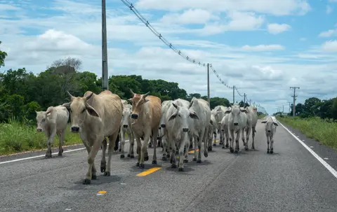
Pantanal Matogrossense National Park has strict legal safeguards managed by ICMBio under a 1994 Emergency Action Plan, 1997 Research Plan, and 2004 Management Plan. The Ecotropica Foundation has managed the private Special Reserves of Acurizal, Penha, and Doroche since 1998, with Acurizal and Penha less exposed to upland encroachment than Doroche and the park. Even so, external pressures weigh heavily on the wetland. Outside federal reserves, 99 percent of the wider Pantanal is privately held across roughly 2,500 cattle fazendas carrying up to eight million cattle. Runoff brings sediment erosion, soy-plantation pesticides, agrochemicals, urban sewage, and gold-mining pollutants, posing industrial hazards even though water quality remained relatively undegraded in 2002. Illegal smuggling of parrots, wildcats, and caimans, unsustainable fishing, and tourism boats crowding riverbanks further disrupt jaguar behaviour. Earlier political turmoil between 1978 and 1989 drove peak highland logging and rubber extraction that sent heavy silt downstream, though newer regulations have kept wider native-vegetation loss under 17 percent.
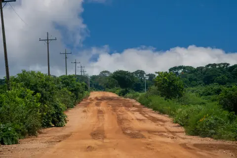
Hydrological disruption poses an even deeper structural danger. Long-debated proposals to dredge and canalise a 3,442-kilometre shipping waterway along the Paraguay and Parana rivers, alongside raised roads, dams, and pipelines, could accelerate drainage and destroy the slow flood-absorption sponge sustaining fisheries and drought refuges. In late 2020, climate extremes brought catastrophic wildfires that burned roughly a quarter of the Pantanal, around 19,890 square kilometres (7,681 square miles), and killed millions of vertebrates. Brazil's National Institute for Space Research (INPE) detected over 21,200 fires through November 2020, 69 percent above 2005's roughly 12,500 fires. September 2020 alone recorded 8,106 fires, more than four times the historic monthly average. Linking surrounding private properties under Brazil's conservation 'mosaics' framework with civil-society and public-private partnerships to form a transboundary reserve with Bolivia and Paraguay remains an urgent long-term goal.
National Park, Special Reserves, and River Access Rules
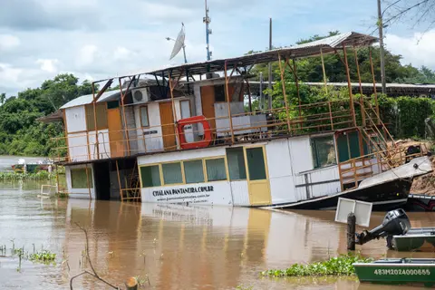
Unlike road-linked tourist lodges along Brazil's northern Transpantaneira or southern Miranda basins, the Pantanal Conservation Area sits at an isolated western river confluence reachable predominantly by river boat and strictly zoned between public scientific stewardship and integral reserve protection. Because northern sections of the broader Pantanal differ ecologically from this Amolar-Paraguay basin core, conservationists view the four-unit complex as an indispensable yet partial sample of the full wetland.
| Complex Zone | Key Highlights | Access & Ticket Rule |
|---|---|---|
| Pantanal Matogrossense National Park | Core flooded savannahs between the Cuiaba and Paraguay river basins, Ramsar wetland refuges, and jaguar channels | Integral protection administered by ICMBio; visitor entry requires prior federal park authorisation and licensed river guides |
| Serra do Amolar Escarpment | Steep 900-metre rocky mountain ridge rising abruptly out of flooded grasslands with dry-to-wet flora transitions | Bordering national park and private reserves; hiking restricted to approved research and supervised conservation trails |
| Acurizal and Penha Special Reserves | Ecotropica-managed riverside forest flanks and western foothill bays sheltering giant otters and macaws | Private permanent conservation reserves; access arranged exclusively with Ecotropica Foundation and partner lodges |
| Doroche Special Reserve | Northern marsh sector exposed directly to upstream Cuiaba floodplain dynamics and seasonal fish nurseries | Managed for strict habitat protection; no independent walk-in access without prior reserve coordination |
Confirm current ICMBio and Ecotropica Foundation entry permits, boat-speed limits around wildlife banks, and seasonal flood advisories before arranging river transport into this western border sector.
Snorkel Snails, Cliff Cacti, and Anoxic Floods in the Pantanal
Three specific ecological details observable along the Amolar slopes and Paraguay River channels reveal how life adapts to extreme seasonal inundation:
- Air-breathing apple snails (Pomacea lineata) in anoxic water: During rising floods when rotting grass strips oxygen from shallow pools, look for apple snails extending slender breathing snorkels to the surface while using internal lungs to survive low-oxygen water and recycle plant matter into fish-sustaining nutrients.
- Giant cacti next to aquatic water lilies along Amolar cliffs: Where the Amolar mountain slopes plunge directly into river lagoons, notice drought-adapted semi-arid cacti gripping dry rock ledges metres away from floating giant water lilies rooted in seasonal floodwater.
- High-water upland migration along Serra do Amolar: Watch elevated ridge edges during the November-to-March wet season, when rising Paraguay River levels of 2 to 5 metres force jaguars, marsh deer, and tapirs upward onto the dry Amolar foothills for refuge.
Hydrological Windows and Pairing the Pantanal with Foz do Iguacu
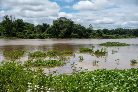
Water levels dictate visibility and travel across the wetland. Dry-season months after June expose riverbanks, sandbars, and receding lagoons where birds, caimans, giant otters, and jaguars gather in large numbers. From October to April, the flood season turns grasslands into continuous boat waterways while shielding wildlife along the Amolar hills. Monitoring climate projections remains essential, as extreme rainfall pulses and prolonged dry spells amplify human canal and ranching pressures across the basin. Although 920 km apart, travellers exploring Brazil's freshwater systems can pair these Paraguay-river floodplains with the canyon waterfalls of Foz do Iguacu downstream in the wider Parana-Paraguay watershed. You can also compare South American natural sites across the UNESCO World Heritage Atlas.