


























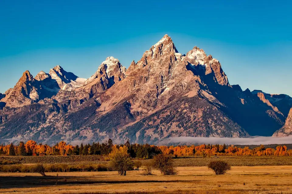
Driving the Icefields Parkway (Highway 93N): Bow Lake, Peyto Lake and the Columbia Icefield
Driving North America's greatest mountain highway from Lake Louise past Bow Lake and wolf-shaped Peyto Lake to the Athabasca Glacier.
Beginning just two minutes north of Lake Louise Village where Highway 93 branches north off the Trans-Canada Highway, the Icefields Parkway stretches for 232 kilometres along the spine of the Continental Divide between Banff and Jasper.
Even if you are not driving all the way to Jasper, every visitor to Banff should spend one full day driving the Southern Half of the Icefields Parkway and back. (Essential rule: fill your gas tank to 100% in Banff or Lake Louise Village and download offline maps, there is zero cell phone service along the Parkway and only one seasonal gas station at Saskatchewan River Crossing).
The 5 Essential Stops Going North from Lake Louise
- Herbert Lake & Crowfoot Glacier Viewpoint: five minutes up the road, glassy Herbert Lake mirrors Mount Temple; twenty minutes further, pull over at Crowfoot Mountain to see a three-toed hanging glacier clinging to the cliff wall.
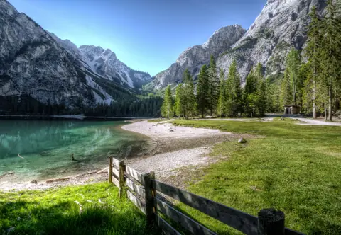
- Bow Lake & Historic red-roofed Num-Ti-Jah Lodge: pull right up to the water's edge of vast, turquoise Bow Lake. Walk along the flat lakeshore past the octagonal red roof of 1930s Num-Ti-Jah Lodge, or hike 4.5 km to the thunderous gorge of Bow Glacier Falls.
- Peyto Lake & Bow Summit: four minutes north of Bow Lake, turn into the Bow Summit parking lot and walk 10 minutes up the paved forest path to the newly expanded cliff-edge viewing platform: 250 metres straight below you lies Peyto Lake, shaped unmistakably like the head of a giant wolf or fox and glowing the brightest, most opaque neon Robin's-egg blue in the Rockies.
- Waterfowl Lakes & Mistaya Canyon: stretch your legs on a 15-minute walk down to the wooden bridge spanning Mistaya Canyon, where glacial meltwater has carved deep, twisting S-curves into dark limestone rock.
- Parker Ridge Hike & The Athabasca Glacier / Columbia Icefield: just after passing the weeping rock wall of the Weeping Wall and climbing the Big Bend switchbacks, you reach the Columbia Icefield, the largest ice mass in the Rocky Mountains. Walk the 1.8 km trail right to the icy toe of the Athabasca Glacier (or hike 2.7 km up Parker Ridge to look straight down onto the massive Saskatchewan Glacier).
Traveller tips
Real advice from people who have been to Driving the Icefields Parkway (Highway 93N): Bow Lake, Peyto Lake and the Columbia Icefield. Every tip is read by our team before it goes live.
No tips yet. Been here? Yours could be the first.
Thank you! Your tip will appear here after a quick review.
More in Banff
Continue exploring Banff with related neighbourhood, food, and planning guides
Johnston Canyon Catwalk Hike (Lower & Upper Falls) and the Turquoise Ink Pots
Banff, Canada
Walking Banff Town: Banff Avenue, Bow Falls, Surprise Corner and Tunnel Mountain Hike
Banff, Canada
Banff's Closest Lakes: Lake Minnewanka Scenic Loop, Two Jack Lake and Vermilion Lakes Sunset
Banff, Canada
The Bow Valley Parkway (Highway 1A): Wildlife Safari, Castle Mountain & Morant's Curve
Banff, Canada
