


























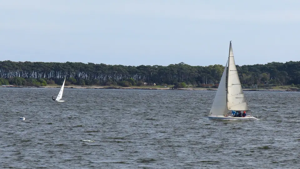
Playa Mansa Sunset Bay & Isla Gorriti Day Trip Guide, Punta del Este
Explore the calm western bay of Punta del Este: stroll the pine-shaded wooden boardwalk of Playa Mansa from Parada 1 to Parada 24 and take the 15-minute passenger launch to historic Isla Gorriti.
If Playa Brava is the dramatic Atlantic face of Punta del Este, Playa Mansa is its serene, family-friendly soul. Curving in a gentle twelve-kilometre arc from the yacht harbour of the Peninsula all the way west to the headland of Punta Ballena, this west-facing bay is sheltered from open ocean swells both by the Peninsula itself and by the offshore pine island of Isla Gorriti.
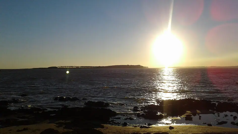
1. Walking & Swimming Along Playa Mansa (Paradas 1 to 24)
- Gentle Waters, Wooden Boardwalks & Unobstructed Sunsets: Because Playa Mansa faces due west across the outer Río de la Plata, its shallow, wave-free waters warm quickly in summer and are ideal for swimming with children, kayaking, and stand-up paddleboarding. A raised wooden coastal boardwalk (Pasarela de la Mansa) threads through maritime pines and sand dunes along the shoreline, linking beachfront paradores at Parada 1, Parada 3, Parada 7, and Parada 12 to the historic granite dock of Muelle de Mailhos (on the Peninsula near Calle 27), where locals gather every evening with mate thermoses to watch the sun sink behind Punta Ballena.
2. Taking the Launch to Isla Gorriti (2.5 km Offshore)
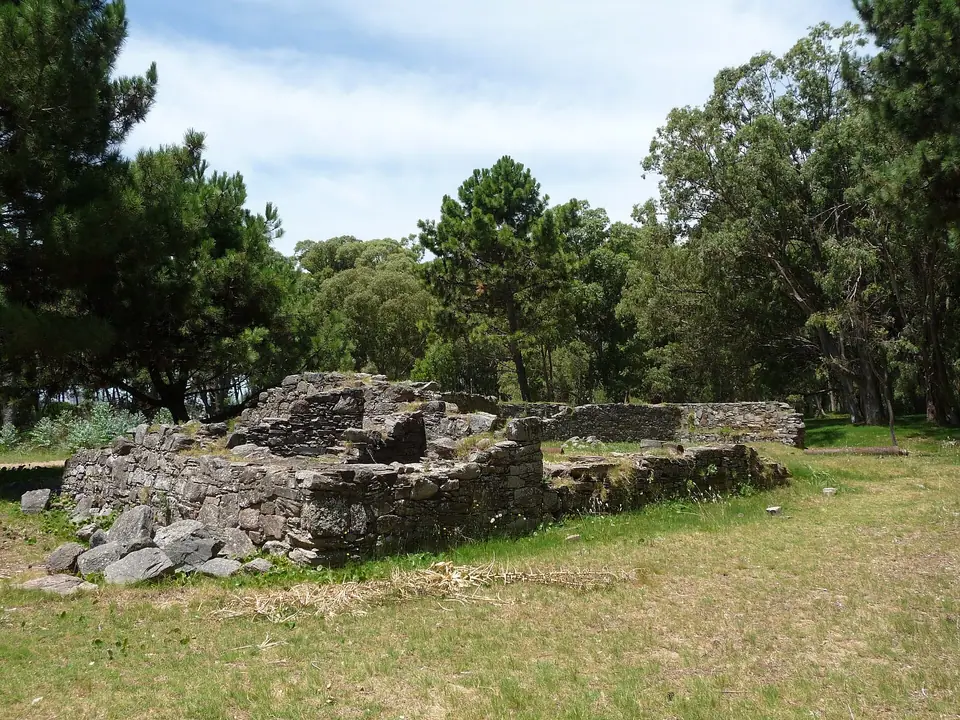
- 16th-Century Explorers & 18th-Century Spanish Fortifications: Floating just two and a half kilometres off Playa Mansa, 21-hectare Isla Gorriti is a designated National Historic Monument with zero cars and zero permanent residents. Sighted by Juan Díaz de Solís in 1516 and mapped by Sebastian Cabot in 1527, the island took its name from Spanish commander Francisco José de Gorriti, who was imprisoned here in the 1740s and urged the Crown to fortify the bay against Portuguese and British warships. As you walk the shaded forest paths through Aleppo and maritime pines planted in the early twentieth century, you can still inspect the stone foundations and iron cannons of the 1750s Batería de Santa Ana and Batería del Medio.
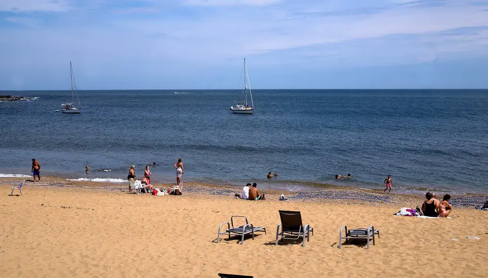
- Swimming at Playa Honda & Puerto Jardín + How to Go: The island features two white-sand beaches: Puerto Jardín on the north-eastern shore (where yachts anchor in crystal-clear waist-deep water) and the broad western crescent of Playa Honda. Passenger launches depart every thirty to sixty minutes throughout the day from the Puerto de Punta del Este (a 15-minute crossing; check the official harbour kiosk for return departure times).
Traveller tips
Real advice from people who have been to Playa Mansa Sunset Bay & Isla Gorriti Day Trip Guide, Punta del Este. Every tip is read by our team before it goes live.
No tips yet. Been here? Yours could be the first.
Thank you! Your tip will appear here after a quick review.
More in Punta del Este
Continue exploring Punta del Este with related neighbourhood, food, and planning guides
What to Eat in Punta del Este: Birthplace of the Chivito, Seafood, Parrillada & Garzón Tannat
Punta del Este, Uruguay
Museo Ralli (Beverly Hills) & Colonial San Fernando de Maldonado Guide
Punta del Este, Uruguay
Punta del Este: Mansa vs Brava, Paradas & Coastal Layout
Punta del Este, Uruguay
12 Best Things to Do in Punta del Este: La Mano, Casapueblo, MACA & Islands
Punta del Este, Uruguay
