


























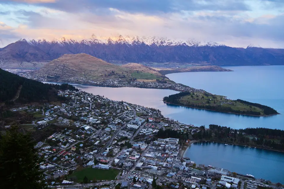
Queenstown Orientation: Lake Wakatipu, The Remarkables, Town Centre & Otago Basin
Understand how Queenstown (Tahuna) is laid out at 310 metres elevation on Lake Wakatipu: connect the walkable Town Centre and Queenstown Gardens with Frankton Arm, Arrowtown and Gibbston, and Glenorchy at the head of the lake.
Set 310 metres above sea level on the elbow of 80-kilometre-long Lake Wakatipu (Whakatipu Waimāori), Queenstown (Tāhuna) is far more compact than its global reputation suggests. While the wider Wakatipu Basin stretches from the vineyards of the Kawarau Gorge to the beech forests of Mount Aspiring National Park, the historic lakeside town centre can be walked from end to end in fifteen minutes.
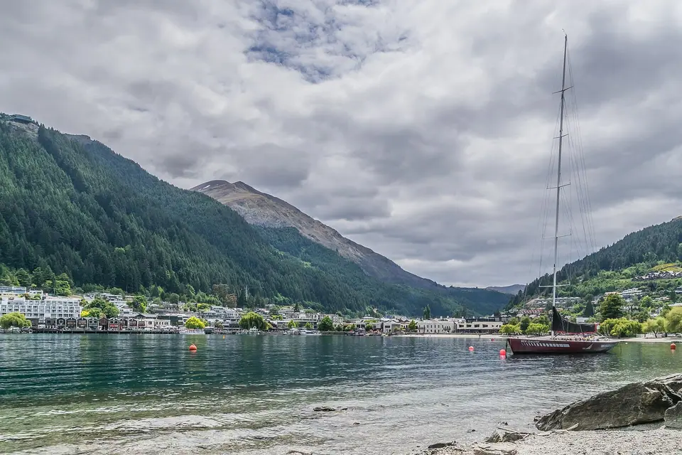
Four Distinct Corridors Around the Wakatipu Basin
- Central Queenstown, Steamer Wharf & Queenstown Gardens: Wrapped around the pebble beach of Queenstown Bay, the pedestrianised lanes of The Mall, Rees Street, Beach Street, and Shotover Street link Steamer Wharf (berth of the 1912 steamer TSS Earnslaw) and the 1867 Queenstown Gardens peninsula with the base terminal of the Skyline Gondola on Brecon Street.
- Frankton Arm, Kelvin Heights & Queenstown Airport (ZQN): Extending 7.5 kilometres east along State Highway 6A beside the sheltered Frankton Arm, this lakeside corridor connects the town centre via the flat walking and cycling Frankton Track (and hourly water taxis) with the sunny golf peninsula of Kelvin Heights and Queenstown Airport (ZQN).
- Shotover Canyon, Arrowtown & the Gibbston Wine Valley (East): Ten to twenty-five minutes north-east of town lie the sheer schist walls of Arthur's Point on the Shotover River and the 1880 Kawarau Gorge Suspension Bridge, historic 1862 gold-mining Arrowtown, and the high-altitude Pinot Noir cellar doors of the Gibbston Valley.
- Glenorchy, Paradise & Fiordland (West): Following the northern arm of Lake Wakatipu for 46 kilometres brings you to Glenorchy, the Dart River delta, and the Routeburn Track, while a full-day trip by coach or small plane crosses into Fiordland National Park and Milford Sound (Piopiotahi).
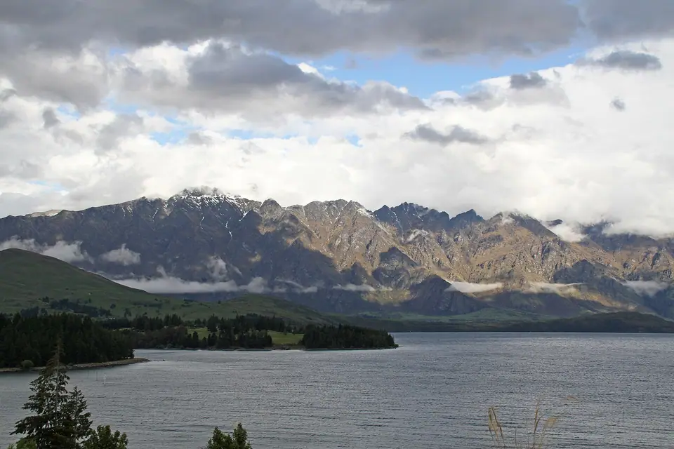
The 26.7-Minute "Heartbeat" of Lake Wakatipu
As you stroll along Marine Parade, watch the water lapping against the stones: because Lake Wakatipu fills a narrow, Z-shaped glacial trench 380 metres deep, wind and barometric pressure set up a permanent rhythmic standing wave (seiche) that causes the lake level in Queenstown Bay to rise and fall by 10 to 20 centimetres every 26.7 minutes, celebrated in Māori tradition as the still-beating heart of the giant Mataau.
Traveller tips
Real advice from people who have been to Queenstown Orientation: Lake Wakatipu, The Remarkables, Town Centre & Otago Basin. Every tip is read by our team before it goes live.
No tips yet. Been here? Yours could be the first.
Thank you! Your tip will appear here after a quick review.
More in Queenstown
Continue exploring Queenstown with related neighbourhood, food, and planning guides
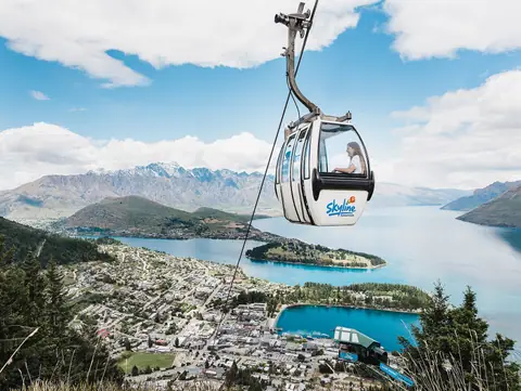
Skyline Gondola on Bob's Peak, Ben Lomond Summit Hike (1,748m) & Queenstown Hill
Queenstown, New Zealand
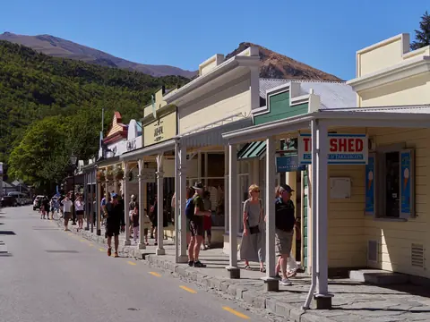
Arrowtown Gold Rush Village, 1868 Chinese Settlement & Gibbston Valley Pinot Noir
Queenstown, New Zealand
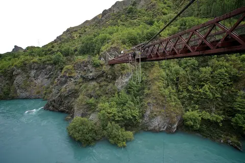
Kawarau Suspension Bridge (1880), World-First Bungy & Shotover River Canyons
Queenstown, New Zealand
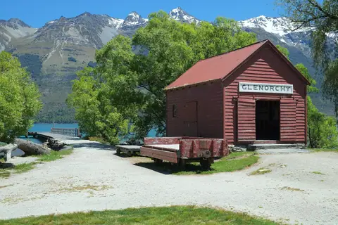
Glenorchy Scenic Drive, Lagoon Boardwalk, Paradise Valley & Routeburn Track Day Walk
Queenstown, New Zealand
