


























Arriving in Queenstown: ZQN Airport, Orbus Bee Card Buses, Water Taxis & Alpine Roads
How to reach Queenstown and get around: fly into Queenstown Airport (ZQN) 8 km from downtown, use a prepaid Bee Card on Orbus Route 1 and Route 2 buses, ride the Frankton Arm Water Taxi, or drive from Christchurch and Wanaka.
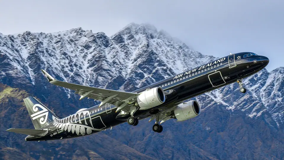
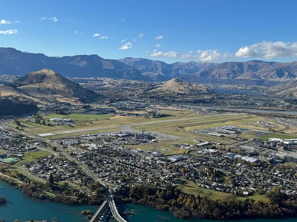
Few commercial airports on Earth match the final descent into Queenstown Airport (IATA: ZQN), where jet aircraft bank between the snow-dusted crags of The Remarkables and the turquoise waters of the Frankton Arm. Situated in Frankton just 8 kilometres (15 minutes) east of the town centre, the single-terminal airport handles direct domestic flights from Auckland (1 hour 50 minutes), Wellington (1 hour 25 minutes), and Christchurch (1 hour 10 minutes), alongside direct trans-Tasman international flights from Sydney, Melbourne, Brisbane, and the Gold Coast.
1. From Queenstown Airport (ZQN) to Town: Orbus Route 1, Bee Card & Water Taxis
- Orbus Route 1 Public Bus & the Prepaid Bee Card (orc.govt.nz): Directly outside the ZQN arrivals hall, Otago Regional Council's Orbus Route 1 (Fernhill to Remarkables Park via Queenstown Airport and Central Queenstown) departs every 15 minutes from early morning until late evening, reaching the central Stanley Street / Athol Street bus hub in 15 to 20 minutes. Before boarding, pick up a rechargeable Bee Card from the vending machine or airport bookshop inside the terminal: tapping a registered or unregistered Bee Card cuts the flat local bus fare to a fraction of the cash ticket price, and the same card works on Route 2 to Arrowtown, Route 3 to Kelvin Heights, and Route 5 to Lake Hayes.
- Queenstown Water Taxi (Frankton Marina / Hilton Pier to Steamer Wharf): For a scenic arrival on the water, walk ten minutes (or take a short transfer) from the airport to the Hilton / Kawarau Village pier on the Frankton Arm and board the hourly Queenstown Ferry water taxi across Lake Wakatipu straight into Steamer Wharf in the town centre.
2. Overland Alpine Highways from Christchurch, Wānaka & Fiordland
- From Christchurch via Tekapo, Aoraki / Mount Cook & Lindis Pass (480 km, 6 Hours): The classic South Island road trip follows State Highway 8 south-west across the golden tussock of the Mackenzie Basin past turquoise Lake Tekapo and Lake Pukaki (with a worthwhile detour up State Highway 80 to 3,724-metre Aoraki / Mount Cook), climbs over the 971-metre Lindis Pass, and enters the Wakatipu Basin through the dramatic Kawarau Gorge.
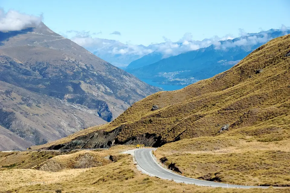
- From Wānaka via the Crown Range Road vs State Highway 6: The shortest route from Wānaka (68 km, 1 hour) crosses the 1,076-metre Crown Range Road, New Zealand's highest sealed main highway; between May and September, check NZTA Waka Kotahi alerts for ice and snow-chain requirements, or take the lower, gentler 117-kilometre highway via Cromwell (1 hour 30 minutes). Note that standard rental-car agreements prohibit driving on unsealed Skippers Canyon Road.
Traveller tips
Real advice from people who have been to Arriving in Queenstown: ZQN Airport, Orbus Bee Card Buses, Water Taxis & Alpine Roads. Every tip is read by our team before it goes live.
No tips yet. Been here? Yours could be the first.
Thank you! Your tip will appear here after a quick review.
More in Queenstown
Continue exploring Queenstown with related neighbourhood, food, and planning guides
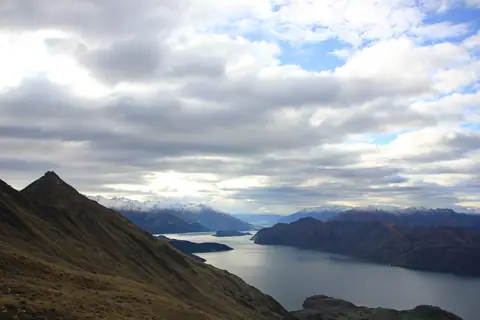
Crown Range Road (1,076m), Lake Wanaka, Roys Peak & Queenstown's Four Ski Fields
Queenstown, New Zealand

What to Eat & Drink in Queenstown: Otago Lamb, Venison, Fergburger, Pies & Pinot Noir
Queenstown, New Zealand
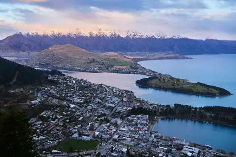
Queenstown Orientation: Lake Wakatipu, The Remarkables, Town Centre & Otago Basin
Queenstown, New Zealand
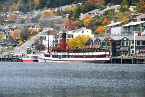
12 Essential Experiences in Queenstown: TSS Earnslaw, Bob's Peak, Arrowtown & Milford Sound
Queenstown, New Zealand
