Photo: Joe Mabel · CC BY-SA 3.0
Pike Place Market and Waterfront Guide
Discover the historic stalls of Pike Place Market and the scenic public piers of Seattle's Elliott Bay waterfront.
Pike Place Market and the Elliott Bay shoreline form the historic heart of maritime Seattle, connecting century-old trading arcades directly to modern harbour parks.
The Origins and Preservation of Pike Place Market
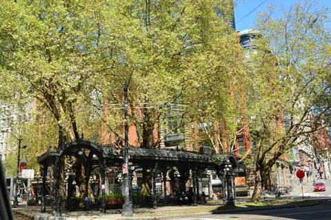
Produce sales to the public started at Pike Place Market in August 1907. Eight local farmers spearheaded the project to cut out the middleman and trade directly with city consumers. Within three months, the trading area had expanded to 76 stalls. By 1922, the complex had grown to 11 buildings along nine acres near the Seattle waterfront. Today, the facility stands as the oldest continuously operating farmers market in the country.
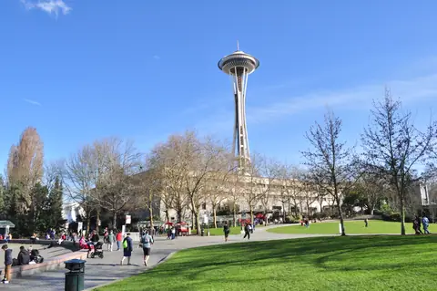
Commercial pressures threatened the precinct with demolition during the mid-twentieth century. Architect and activist Victor Steinbrueck, who co-designed the Space Needle, organised the campaign to protect it. His civic group, Friends of the Market, rallied community support to halt proposals for office blocks and a giant parking structure. In 1971, Seattle citizens voted to establish the Pike Place Market Historic District and the Market Historical Commission. The historic district originally established through this vote encompassed seven acres.
Management of the municipal asset belongs to the Pike Place Market Preservation & Development Authority. Today, the facility stretches across a nine-acre historic district spanning ten levels. Market boundaries run from 1st Avenue down to Western Avenue, and from Virginia Street south just past Pike Street. The physical address sits at 85 Pike Street, Seattle, WA 98101. The district serves as the city's largest incubator of small, independent businesses. It houses social services, affordable housing for over 450 residents, and more than 220 independently owned shops and restaurants. Anyone planning a broader city tour can incorporate the site using our Seattle in 3 Days: A Practical Itinerary.
Exploring Market Stalls, Arcade Craftspeople, and Landmarks
The multilevel market complex houses more than 500 shops, vendors, restaurants, and bars. More than 200 artisan craftspeople sell handmade goods across the covered arcade tables. Visitors encounter independent makers offering homemade soap, pottery, and hand-thrown ceramics, all happy to discuss their methods. The trading halls also support over 70 local farmers and more than 60 permitted buskers who entertain crowds throughout the corridors.
Several defining landmarks mark the exterior entrances. At First and Pike, visitors gather around Rachel the Piggy Bank. This bronze sculpture features a 550-pound frame and collects donations directly beneath the red Public Market Center sign. The towering neon sign above dates back to 1927. It remains one of the oldest outdoor neon signs on the West Coast. A block north on Pike Place stands a celebrated coffee shop. The first Starbucks store originally opened a block north in 1971 before moving to its current Pike Place location in 1975.
Operations run 363 days a year, welcoming shoppers seven days a week. The market closes only on Thanksgiving and Christmas Day. Commercial filming or photography inside the historic district requires a filming permit obtained in advance. If you are organising your wider travel itinerary, check our Seattle Travel Guide: What to Know Before You Go for helpful local advice.
Connecting the Market to the Elliott Bay Shoreline
Moving between the upper market arcades and the shoreline has become straightforward. The seawall along the downtown waterfront was originally constructed starting in 1911. Modern development projects have restored access between the coastal ridge and the water. The waterfront development includes a 1.2 mile protected bike lane, almost 1,000 new trees, and more than 150,000 new plants.
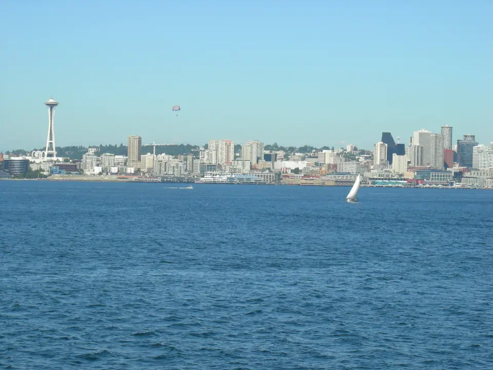
The Port of Seattle oversees more than 44 acres of parks and public access sites along the Lower Duwamish Waterway and the Elliott Bay Waterfront. These public areas offer scenic pedestrian trails, picnic grounds, habitat restoration areas, fishing piers, and shoreline access. Waterfront Park opens daily along the central harbour front. A seasonal Free Waterfront Shuttle runs every 15 minutes from May through Labor Day, transporting passengers along Alaskan Way.
At Pier 66, travellers find the Bell Street Pier and the Bell Harbor Marina. The marina sits at 2203 Alaskan Way, Seattle, WA 98121. Staff monitor VHF Radio channel 66A and take telephone enquiries on 206-787-3952. Strolling along the seawall lets visitors observe maritime traffic across Puget Sound. To see how these waterfront stops connect with regional highlights, browse our collection of the Best Things to Do in Seattle.
Recreation and Public Spaces on Pier 58
Pier 58 forms a major civic anchor on the waterfront promenade. The rebuilt pier features a dedicated play space designed for families. Children can explore a custom 25-foot jellyfish-inspired climbing structure positioned near the open water.
Historic artwork has also returned to the civic pier. Workers restored and reinstalled the historic bronze FitzGerald fountain as a central decorative element on the decking. The promenade provides open sightlines over the harbour, allowing visitors to watch passing vessels and regional ferries crossing Elliott Bay. Cyclists and pedestrians share designated lanes along the promenade without vehicle interference.
The surrounding walkways connect Pier 58 to nearby piers and green spaces. Shaded benches and native plants line the pedestrian corridor along Alaskan Way. These open areas allow travellers to take a break between touring market stalls and walking the coastal paths. Those seeking accommodation within walking distance of these piers can consult our recommendations on Where to Stay in Seattle: Best Areas.
Transport, Parking, and Bus Etiquette Around Pike Place
Accessing the market by public transport is straightforward. Both Westlake Station and Symphony Link Light Rail stations sit just blocks from the market boundary. Local King County Metro bus routes also serve the perimeter. Bus stops display a sign on a pole listing all routes serving that location.
When boarding King County Metro buses, passengers can pay by tapping a credit card, debit card, smartphone, smartwatch, or an ORCA card. Transit officials describe the ORCA card as the easiest and best value payment option. If paying with cash, note that drivers cannot provide change. Front-door ramps are fitted on all buses for wheelchairs, strollers, or extra assistance. Seats directly behind the driver are reserved for people with disabilities, elderly riders, or parents travelling with young children. Front racks on each bus hold up to three bicycles. It is simple to load and unload your bike at a transit stop, but tell the driver before doing so. When your stop approaches, pull the yellow cord or press the red STOP button, and exit via the side or rear door.
For those arriving by car, vehicle access to Pike Place itself is regulated. A pilot program launched by the market authority, City leadership, and the Seattle Department of Transportation limits vehicles during daytime hours. Drivers can check the official site for current access schedules. Vehicles are permitted for 30-minute durations during early morning and early evening hours.
Drivers can use the multi-level Pike Place Market parking garage, which provides over 800 stalls across three entrances and exits. The garage clearance limit is 6 feet and 8 inches, and it cannot accommodate RVs, trailers, or buses. Disabled parking spaces sit on each level beside the lifts. Electric vehicle owners will find 11 charging stations on Level P6 near the 1901 Western Avenue entrance. Another 10 charging stations sit just inside the 1530 Alaskan Way entrance on Level 2. Cyclists can find a rack holding 34 bikes located in the Red Garage on level P6.
Travellers exploring the wider state can order the official Washington State Visitors' Guide, available in print and online formats. Standard postal delivery for print copies takes three to four weeks, while rush delivery takes five to seven days. International mail takes four to six weeks. A byways road map produced by Scenic Washington highlights scenic driving routes and is available to order online.
Where it is
- 1Seattle
- Seattle–Tacoma International Airport (SEA) · about 18 km from Seattle in a straight line
- Directions in Google Maps
Stations and taxi ranks: OpenStreetMap. Airports: OurAirports. Distances are in a straight line.
Traveller tips
Real advice from people who have been to Seattle. Every tip is read by our team before it goes live.
No tips yet. Been here? Yours could be the first.
Thank you! Your tip will appear here after a quick review.
More in Seattle
Continue exploring Seattle with related neighbourhood, food, and planning guides