


























Trabzon: What to Know Before You Go
Understanding Trabzon's vertical geography from sea level to 2,000-metre yaylas, Sumela shuttles and weather.
Short answer: treat Trabzon as a vertical landscape where you can go from warm humid sea level to a misty 1,600-metre spruce forest in forty minutes, always keep a waterproof shell and jumper in your daypack, use the official ring-shuttle minibuses inside Altındere National Park for Sumela Monastery, and tap a contactless bank card on city buses.
How Trabzon's Geography Works: The Coast and Three Mountain Valleys
Because the Pontic Mountains rise sharply right behind the Black Sea shoreline, the city of Trabzon runs along an east-to-west coastal terrace, while three major river valleys cut southward up into the mountains toward the Anatolian plateau:
- Central Trabzon (Ortahisar, Meydan & Boztepe): the historic walled citadel of Ortahisar sits between two deep green ravines (Zağnos and Tabakhane), with the commercial heart of Meydan Parkı and Kemeraltı Bazaar to its east, Hagia Sophia to its west, and the tea terraces of Boztepe Hill rising directly behind it.
- The Southern Valley (Maçka & Zigana, 45 km south): follows the Değirmendere river up into the spruce forests of Altındere National Park (Sumela Monastery) and over the historic Silk Road pass of Zigana and Hamsiköy.
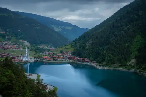
- The Eastern Valley (Of, Çaykara & Uzungöl, 95 km east): follows the Solaklı river into the steep alpine gorge of Uzungöl Lake and Sultan Murat Yaylası.
- The Western Hills (Akçaabat, Düzköy & Çal Cave, 15 to 45 km west): home to the 19th-century stone mansions of Ortamahalle, Hıdırnebi Yaylası and Çal Cave.
Microclimate Rule: Sun on the Coast, Mist in the Clouds
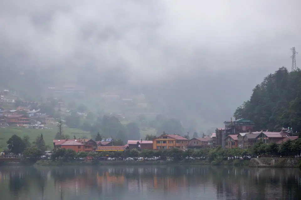
Moist air blowing south across the Black Sea hits the 3,000-metre mountain wall and condenses into dramatic afternoon fog banks (called duman by locals) above 1,000 metres. Always visit Sumela Monastery, Boztepe and high viewpoints like Uzungöl or Hıdırnebi in the morning during core daytime hours when skies are clearest before afternoon valley mist rolls in.
Traveller tips
Real advice from people who have been to Trabzon: What to Know Before You Go. Every tip is read by our team before it goes live.
No tips yet. Been here? Yours could be the first.
Thank you! Your tip will appear here after a quick review.
More in Trabzon
Continue exploring Trabzon with related neighbourhood, food, and planning guides
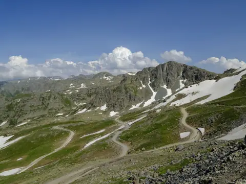
Zigana Mountain Pass, Hamsiköy Village and Karaca Cave Day Trip
Trabzon
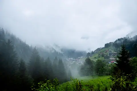
Day Trip East from Trabzon: Rize Tea Gardens, Fırtına Valley, Zil Kale and Ayder
Trabzon
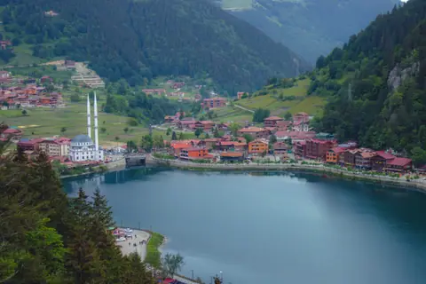
Ortamahalle (Historic Akçaabat), Sera Lake and Kaymaklı Monastery
Trabzon
Getting to Trabzon: Trabzon Airport (TZX) Havaş, City Buses and Coastal Coaches
Trabzon
