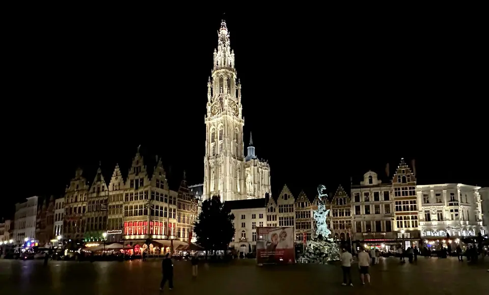
Photo: APK · CC BY-SA 4.0
Antwerp Orientation: Scheldt Quay, Diamond Quarter & Rail Hub
How a Scheldt port reinvented its trade from sixteenth-century spices to diamonds, containers and contemporary fashion.
Antwerp makes sense once it is read through commerce rather than just postcards. During the sixteenth century it handled Atlantic spices, English cloth and European credit, before treaty boundaries closed its river access to the sea for over two centuries. Rather than fading into a museum piece, the port rebuilt around rough diamond polishing, deepwater container basins and avant-garde clothing design. Visitors who expect a tiny canal town miss the working industrial muscle sitting right behind its medieval gables, so treat both halves as one connected story.
From Spanish Fury to Scheldt reopening
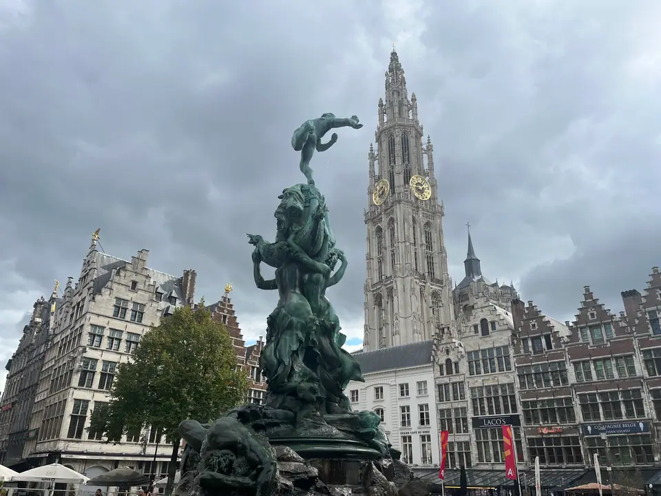
Wealth in Antwerp expanded in sharp bursts between geopolitical shocks. Work began on the Cathedral of Our Lady in 1352. By the opening half of the sixteenth century, the port stood as the second-largest European city north of the Alps. That era shattered on 4 November 1576 when unpaid Spanish soldiers sacked the city during the Spanish Fury, killing roughly 8,000 residents and gutting City Hall.
Recovery soon shifted from wool to gemstones when Antwerp's first diamond guild formed in 1584. Later, the 1648 Treaty of Münster sealed the Scheldt estuary for 215 years. River closure redirected maritime banking north while forcing local workshops to specialise in compact luxury goods. Not until Belgium bought out the Dutch river toll in 1863 did ocean steamers reclaim the quays, building on dock basins begun under Napoleon Bonaparte around Bonaparte Dock.
| Year | Turning point |
|---|---|
| 1352 | Construction begins on the Cathedral of Our Lady. |
| 1576 | Spanish Fury kills about 8,000 citizens and burns City Hall. |
| 1584 | First diamond cutters' guild forms in Antwerp. |
| 1648 | Treaty of Münster blocks maritime access on the Scheldt. |
| 1863 | River toll buyout restores international sea shipping. |
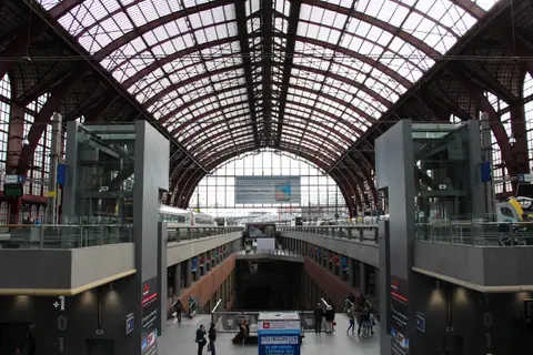
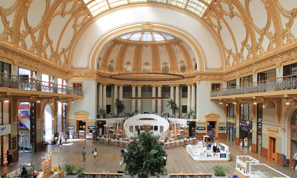
| 1905 | Antwerpen-Centraal opens as a monumental rail gateway. |
| 2022 | Port of Antwerp merges with Zeebrugge. |
River bend, ring road and district postcodes
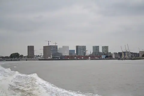
Antwerp sits along a broad bend of the tidal River Scheldt roughly 40 kilometres north of Brussels and 15 kilometres south of the Netherlands. On 1 November 2024 the municipality counted 565,039 inhabitants. Its metropolitan belt exceeds 1.2 million people, ranking as Belgium's second-largest city after Brussels. Freighters still ride the Westerschelde estuary past the right bank, while residential Linkeroever faces the spires from across the water.
Postal codes divide the city cleanly for trip planning. Code 2000 covers the Historic Centre around Grote Markt, the Meir pedestrian boulevard, northern Het Eilandje docks and southern Het Zuid museums. Code 2018 wraps Antwerpen-Centraal, the Diamond Quarter, Groen Kwartier and northern Zurenborg. Further south, postcode 2600 marks Berchem (43,325 residents) and the southern streets of Zurenborg around major suburban rail platforms.
Guildhalls, dock basins and fashion boutiques
Each neighbourhood reflects a separate wave of local enterprise. Cobblestone alleys between Grote Markt and the river preserve merchant guildhalls and Renaissance civic masonry. To the east, Meir channels footfall past golden neoclassical arcades toward Hopland and Nationalestraat. There, graduates linked to the Royal Academy of Fine Arts Fashion Department turned the 1980s and 1990s Antwerp Six breakthrough into permanent flagship boutiques.
North of the historic moat lies Het Eilandje, where brick warehouses around Bonaparte Dock and Willemdok surround museums and waterfront apartments. Directly south, broad nineteenth-century avenues in Het Zuid group gallery spaces around the Royal Museum of Fine Arts Antwerp. Right beside Central Station, tight blocks still handle more than four fifths of global rough diamonds.
Three monuments defining the skyline
Three structures sum up Antwerp's ambition across six centuries. The 123-metre north belfry of the Cathedral of Our Lady anchors Belgium's largest Gothic church. Second, UNESCO-inscribed Plantin-Moretus Museum preserves the world's two oldest surviving printing presses inside an intact family presshouse on Vrijdagmarkt.
By the water, medieval stone fortress Het Steen (masonry 1200 to 1225 on ninth-century foundations) welcomes arrivals as the official Visitor Centre, housing The Antwerp Story and a public rooftop promenade. Over on Hopland 13, the Rubenshuis inaugurated a new contemporary entrance pavilion and Dries Van Noten-advised Baroque garden in August 2024. The historic painter's house itself stays under restoration until 2030.
Compact core versus working harbour scale
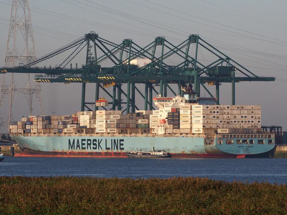
After Antwerp merged with Zeebrugge in April 2022 as Port of Antwerp-Bruges, annual maritime throughput reached 278 million tonnes in 2024 (following 235.2 million tonnes in 2018). Those totals secure its standing as Europe's second-largest port behind Rotterdam. Yet that industrial sprawl extends northwest away from central sights. Standard walking legs from Central Station via Grote Markt to the MAS measure 2.9 kilometres (roughly 3.5 kilometres including alley detours), placing Antwerp Zoo, diamond streets and Scheldt quays within one afternoon loop.
Matching length of stay to Belgian itineraries
- One full day: Cross Antwerpen-Centraal and Meir to the Cathedral, Grote Markt, Het Steen terrace and the MAS rooftop on foot.
- Two to three days: Add the Rubenshuis Hopland pavilion, Plantin-Moretus, KMSKA in Het Zuid, Diamond Quarter weekdays and a De Koninck brewery tour.
- Four days or longer: Use rapid regional rail for half-day runs into Mechelen, Lier, Rotterdam or Ghent.
Opening checks before stepping off the train
Rail beats driving almost every time because a 24/7 camera-enforced Low Emission Zone surrounds the centre and requires advance registration for foreign plates, covered in our transport guide. Reserve timed admission online ahead for KMSKA and the MAS galleries. Weigh a 24, 48 or 72-hour Antwerp City Pass if clustering paid museums. Pack a light rain shell across every season noted in our climate breakdown, then follow our three-day route when you start walking.
Where it is
- 1Antwerp
- Brussels Airport (BRU) · about 36 km from Antwerp in a straight line
- Directions in Google Maps
Stations and taxi ranks: OpenStreetMap. Airports: OurAirports. Distances are in a straight line.
Traveller tips
Real advice from people who have been to Antwerp. Every tip is read by our team before it goes live.
No tips yet. Been here? Yours could be the first.
Thank you! Your tip will appear here after a quick review.
More in Antwerp
Continue exploring Antwerp with related neighbourhood, food, and planning guides