


























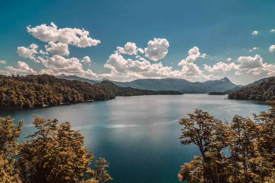
Route of the Seven Lakes (Ruta de los Siete Lagos) & Villa La Angostura Guide
Plan Argentina's most scenic mountain drive from Bariloche to Villa La Angostura and San Martín de los Andes along Ruta Nacional 40: discover all 7 glacial lakes, waterfalls, and viewpoints.
Winding 190 kilometres north from San Carlos de Bariloche to San Martín de los Andes along fully paved Ruta Nacional 40, the Ruta de los Siete Lagos (Route of the Seven Lakes) is the most celebrated mountain road trip in Argentina. Linking two contiguous National Parks, Parque Nacional Nahuel Huapi and Parque Nacional Lanín in Neuquén Province, the highway threads through ancient coihue and lenga forests past emerald coves, waterfalls, and beaches that can easily be explored on a full-day excursion from Bariloche or a two-day overnight loop.
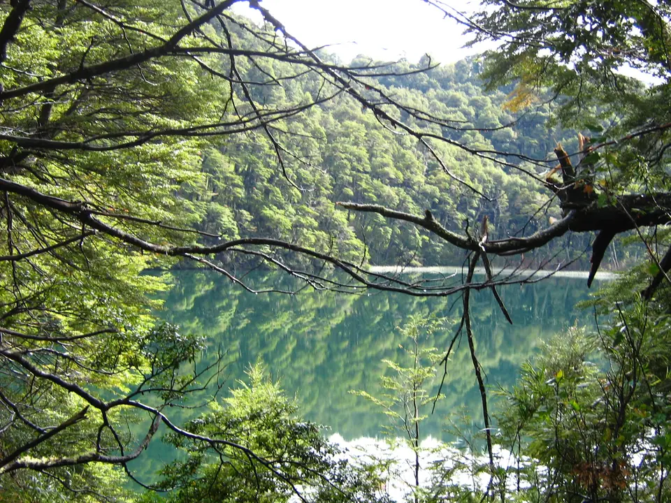
1. First Stop: Villa La Angostura & the Quetrihué Isthmus (83 km from Bariloche)
Driving east out of Bariloche past the limpid source of the Río Limay and turning north along the eastern arm of Lago Nahuel Huapi brings you in roughly seventy minutes to the timber-and-stone alpine village of Villa La Angostura:
- Bahía Mansa, Bahía Brava & El Messidor: Stop at Puerto de Villa La Angostura, where the narrow woody neck of the Istmo de Quetrihué separates two sheltered turquoise bays (Bahía Mansa on the west and Bahía Brava on the east) right at the 12-kilometre forest trailhead into Parque Nacional Los Arrayanes, and admire the French-norman turrets of the 1942 Castillo El Messidor residence.
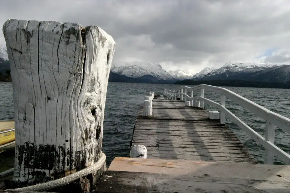
2. The Seven Official Lakes in Order (Villa La Angostura to San Martín de los Andes)
Immediately north of Villa La Angostura begins the 110-kilometre Siete Lagos stretch of Ruta 40, passing seven official lakes in sequence from south to north:
- 1. Lago Correntoso & the 200-Metre Río Correntoso: Just outside Villa La Angostura, cross the bridge over the emerald Río Correntoso (one of the shortest rivers in the world at barely 200 metres long, famed for fly-fishing) where it drains warm, deep-green Lago Correntoso into Nahuel Huapi.
- 2. Lago Espejo ("Mirror Lake"): Named for the glass-like stillness of its surface on calm mornings, with a roadside viewpoint (Mirador del Guardaparque) and a volcanic-sand beach at Lago Espejo Chico.
- 3. Lago Escondido: A small, jewel-like emerald basin tucked deep beneath towering coihue trees below the highway level.
- 4. & 5. Lago Villarino & Lago Falkner (Plus Cascada Vuliñanco): Twin lakes joined by a short stream at the boundary of Lanín National Park; pull over at the wide sandy beach of Lago Falkner beneath the pyramidal peak of Cerro Buol, then stop five minutes further north at the roadside overlook for the 20-metre Cascada Vuliñanco waterfall.
- 6. & 7. Lago Machónico & Lago Lácar (San Martín de los Andes): After passing the dark-blue kayak waters of Lago Machónico (and the gravel turnoff to picturesque Villa Meliquina), the highway descends along the cliffs of fjord-like Lago Lácar into the lakeside streets of San Martín de los Andes (640m).
Traveller tips
Real advice from people who have been to Route of the Seven Lakes (Ruta de los Siete Lagos) & Villa La Angostura. Every tip is read by our team before it goes live.
No tips yet. Been here? Yours could be the first.
Thank you! Your tip will appear here after a quick review.
More in San Carlos de Bariloche
Continue exploring San Carlos de Bariloche with related neighbourhood, food, and planning guides
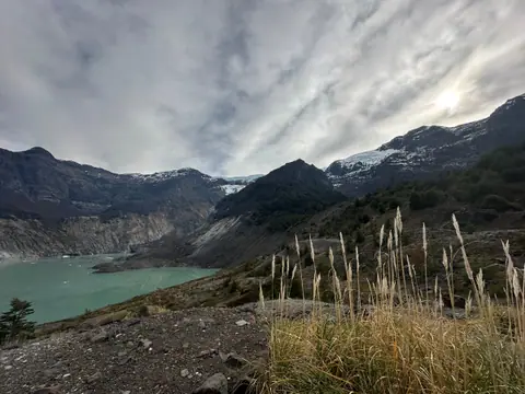
Cerro Tronador (3,491m), Ventisquero Negro & Cascada Los Alerces Day-Trip Guide
San Carlos de Bariloche, Argentina
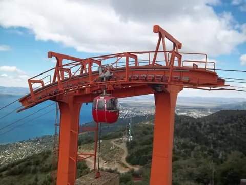
Cerro Otto Teleférico, 360° Revolving Café & Lago Gutiérrez Guide
San Carlos de Bariloche, Argentina
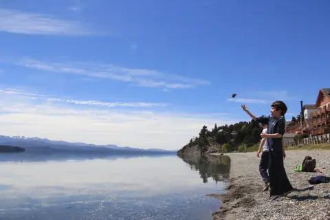
Patagonian Craft Beer Trail, Playa Bonita & Lakeside Breweries Guide
San Carlos de Bariloche, Argentina
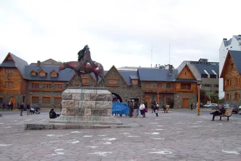
San Carlos de Bariloche: Nahuel Huapi Layout, Los Kilómetros & Parks
San Carlos de Bariloche, Argentina
