


























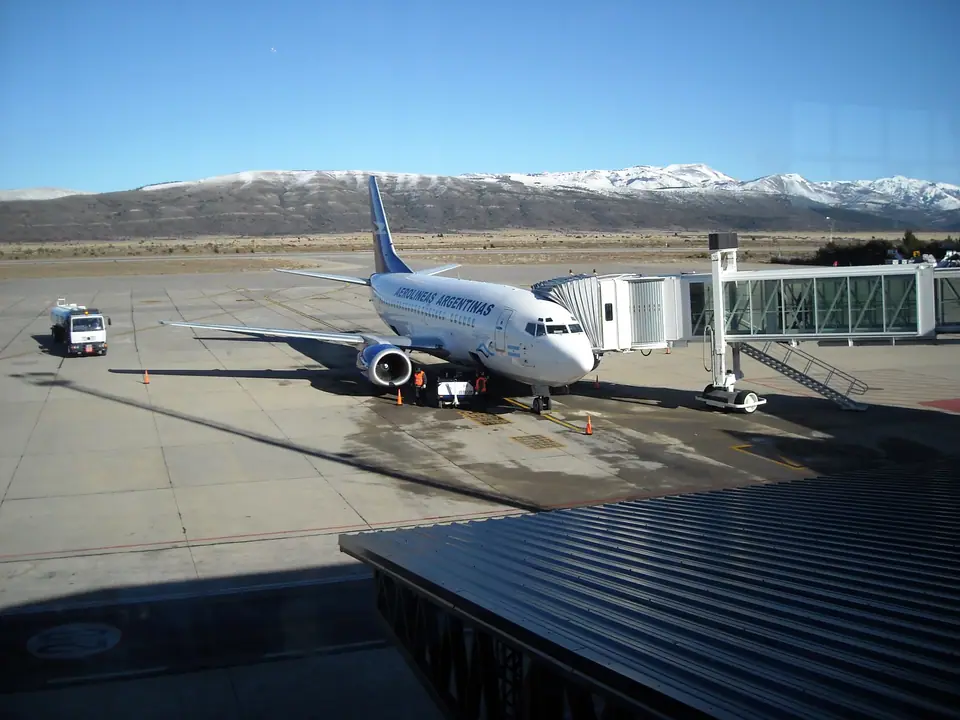
How to Get to Bariloche: Airport (BRC), Ruta 40, Tren Patagónico & Cruce Andino
Practical guide to reaching and getting around San Carlos de Bariloche: direct flights to Teniente Luis Candelaria Airport (BRC), the Cruce Andino lake crossing from Chile, and SUBE buses.
Set on the eastern flank of the Patagonian Andes in Río Negro Province, San Carlos de Bariloche is the primary transport hub of Argentina's northern Lake District, connected by frequent daily jet flights, paved Ruta Nacional 40, a weekly cross-steppe train, and a century-old chain of boats and buses across the Andes from Chile.
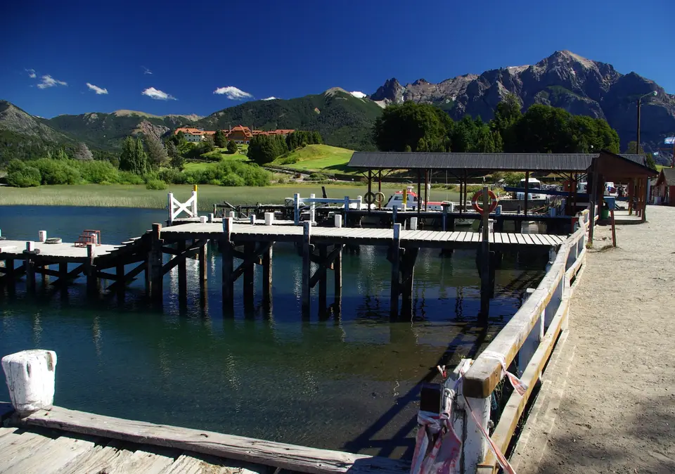
1. By Air: Teniente Luis Candelaria International Airport (IATA: BRC)
- Direct Domestic & Regional Flights: Located fourteen kilometres (20 to 25 minutes by taxi) east of the Centro Cívico on the steppe overlooking the lake, Bariloche Airport (BRC) is one of Argentina's busiest regional airports. Year-round direct flights operate several times daily from Buenos Aires (both downtown Aeroparque AEP and international Ezeiza EZE, 2 hours 15 minutes on Aerolíneas Argentinas, Flybondi, and JetSMART), alongside direct flights from Mendoza (1 hour 45 minutes), Córdoba, Rosario, and El Calafate (1 hour 45 minutes in spring/summer/autumn). During the June-to-September winter ski season, airlines also operate direct international flights from São Paulo (GRU), Campinas, and Santiago (SCL).
- Airport Transfers to Downtown & Los Kilómetros: Licensed taxis, shared transfer minibuses, rental car desks, and municipal Mi Bus Line 72 (payable with a SUBE card) connect the terminal directly with the Terminal de Ómnibus and the Centro Cívico.
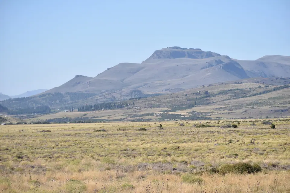
2. Cruce Andino from Chile, Ruta Nacional 40 & Getting Around (SUBE Card)
- The Historic Cruce Andino Lake Crossing (Bariloche to Puerto Varas, Chile): Following the commercial route pioneered by Carlos Wiederhold and Swiss settlers in the early 1900s, the Cruce Andino links Bariloche's Puerto Pañuelo (Km 25) with Petrohué and Puerto Varas in Chile across three consecutive glacial lakes (Lago Nahuel Huapi to Puerto Blest, emerald Lago Frías, and Lago Todos los Santos beneath Osorno volcano) connected by short bus transfers over the low 1,020-metre Pérez Rosales pass.
- Ruta Nacional 40 & Tren Patagónico: Long-distance lie-flat (cama) buses arrive at the Terminal de Ómnibus de Bariloche (3 km east of the Centro Cívico next to the railway station), where the state-run Tren Patagónico also arrives once a week from Viedma on the Atlantic coast.
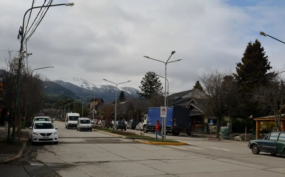
- Local Mi Bus Routes & Car Rental: To use Bariloche's urban Mi Bus network, especially Line 20 (running along Av. Bustillo to Cerro Campanario, Llao Llao, and Puerto Pañuelo), Line 55 (to Cerro Catedral), and Line 10 (to Colonia Suiza), you must tap a pre-loaded SUBE card or SUBE Digital app.
Traveller tips
Real advice from people who have been to How to Get to Bariloche: Airport (BRC), Ruta 40, Tren Patagónico & Cruce Andino. Every tip is read by our team before it goes live.
No tips yet. Been here? Yours could be the first.
Thank you! Your tip will appear here after a quick review.
More in San Carlos de Bariloche
Continue exploring San Carlos de Bariloche with related neighbourhood, food, and planning guides

Route of the Seven Lakes (Ruta de los Siete Lagos) & Villa La Angostura Guide
San Carlos de Bariloche, Argentina
Patagonian Craft Beer Trail, Playa Bonita & Lakeside Breweries Guide
San Carlos de Bariloche, Argentina
San Carlos de Bariloche: Nahuel Huapi Layout, Los Kilómetros & Parks
San Carlos de Bariloche, Argentina
12 Best Things to Do in Bariloche: Circuito Chico, Cerro Catedral & Lake Cruises
San Carlos de Bariloche, Argentina
