


























San Carlos de Bariloche: Nahuel Huapi Layout, Los Kilómetros & Parks
Plan your visit to San Carlos de Bariloche, Argentina: understand how the Centro Cívico, Avenida Bustillo ('Los Kilómetros'), Llao Llao, and Cerro Catedral fit together inside Nahuel Huapi National Park.
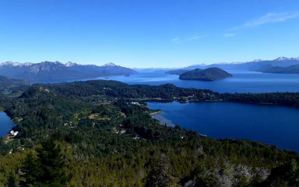
Unlike compact grid cities, San Carlos de Bariloche unfolds like a linear alpine ribbon for more than twenty-five kilometres along the southern shoreline of Lago Nahuel Huapi, entirely surrounded by the 717,261-hectare wilderness of Parque Nacional Nahuel Huapi (Argentina's oldest national park, originating in Francisco "Perito" Moreno's 1903 land donation). Understanding how locals measure addresses by road kilometres west of downtown is the key to planning a smooth trip.
How Bariloche Is Organised: Downtown vs. "Los Kilómetros"
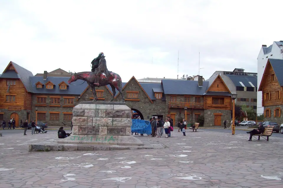
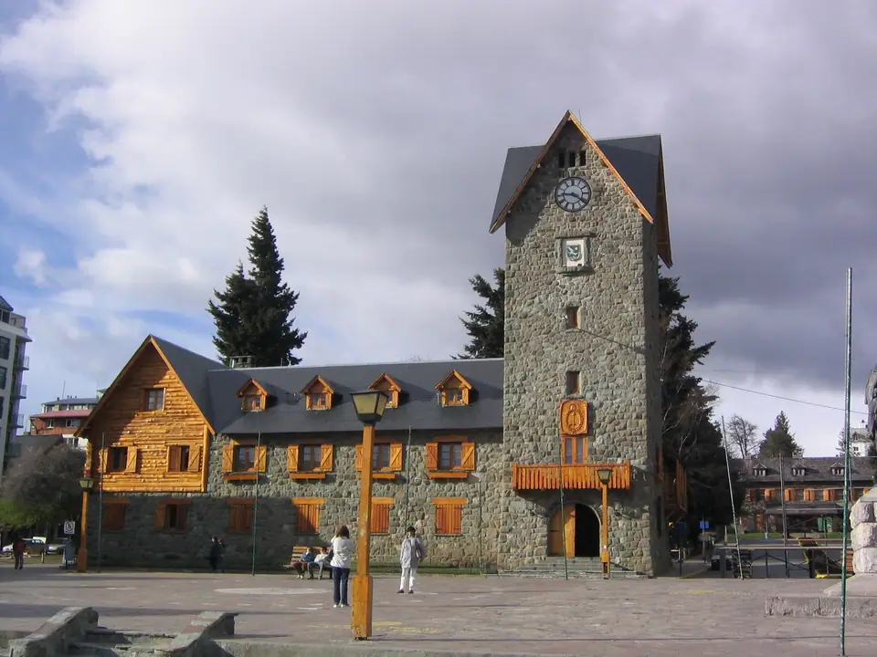
- El Centro (Centro Cívico & Calle Mitre, Km 0): Anchored by the 1940 green-tuff stone complex of the Centro Cívico and Cathedral, the compact downtown grid houses the artisanal chocolate workshops of Calle Bartolomé Mitre, the mountaineering headquarters of the Club Andino Bariloche, and the brewpubs of Calle Juramento.
- Avenida Exequiel Bustillo ("Los Kilómetros", Km 1 to Km 25): Running west from the Centro Cívico along the water's edge, Avenida Exequiel Bustillo is Bariloche's scenic lifeline. Every beach, hotel, chairlift, and brewery is identified by its kilometre marker: Teleférico Cerro Otto turns off at Km 5 (via Av. de los Pioneros), Playa Bonita sits at Km 8, the Cerro Campanario chairlift rises at Km 17.5, and the Llao Llao Peninsula and Puerto Pañuelo pier mark Km 25.
- Cerro Catedral, Lago Gutiérrez & Cerro Tronador (South & South-West): Turning inland at Km 8 along Ruta Provincial 82 leads past crystal-clear Lago Gutiérrez to the base village of Cerro Catedral (19 km from downtown), while Ruta Nacional 40 South leads to Lago Mascardi and Cerro Tronador.
Essential Practical Tips Before You Arrive
Pick up Argentina's contactless SUBE card (or activate SUBE Digital) in downtown Bariloche before riding municipal Mi Bus routes, and complete the free online Registro de Trekking on the Nahuel Huapi National Park website whenever you hike mountain trails.
Traveller tips
Real advice from people who have been to San Carlos de Bariloche: Nahuel Huapi Layout, Los Kilómetros & Parks. Every tip is read by our team before it goes live.
No tips yet. Been here? Yours could be the first.
Thank you! Your tip will appear here after a quick review.
More in San Carlos de Bariloche
Continue exploring San Carlos de Bariloche with related neighbourhood, food, and planning guides
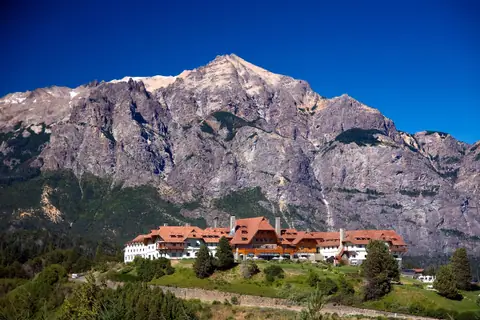
Circuito Chico Guide: Cerro Campanario, Llao Llao Park, Punto Panorámico & Colonia Suiza
San Carlos de Bariloche, Argentina
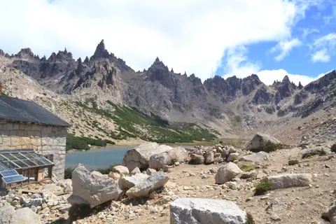
Cerro Catedral Guide: South America's Largest Ski Resort & Refugio Frey Trek
San Carlos de Bariloche, Argentina
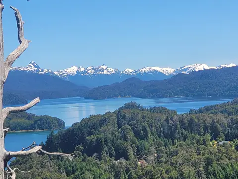
Isla Victoria, Bosque de Arrayanes & Puerto Blest Lake Cruises Guide
San Carlos de Bariloche, Argentina
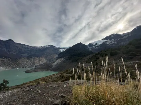
Cerro Tronador (3,491m), Ventisquero Negro & Cascada Los Alerces Day-Trip Guide
San Carlos de Bariloche, Argentina
