Photo: Pauli-Pirat · CC BY-SA 4.0
Two Fires That Shaped Hamburg: 1842 and Operation Gomorrah
From May 1842's medieval street fire to the July 1943 firestorm and the ruined spire of Mahnmal St. Nikolai.
May 1842: Narrow Timber Lanes and the Hamburger Brand
Walk down southern Deichstraße (20459) above Nikolaifleet to see Hamburg's rarest early survivors. Timber-framed merchant houses from the seventeenth and eighteenth centuries crowd tightly over dark canal water, recalling how dense the old port once felt. Steep gable hoists and narrow cobbled alleys show how fire leaped easily between wooden lofts packed with lamp oil, sugar and tobacco. Most medieval lanes vanished in May 1842. On the night of 4 to 5 May, flames broke out inside a cigar workshop near Deichstraße 42/44 and burned until 8 May. Dry east winds drove sparks across tight wooden streets packed with pitch-coated stores. Shallow low-water canals slowed hand pumps until roughly one third of the Altstadt burned away.
Relief fire brigades raced in on the brand-new Hamburg-Bergedorf railway. Flames still raged unchecked until crews blew up whole streets with gunpowder firebreaks. Citizens hauled 18 wagonloads of civic archives clear moments before controlled charges felled the medieval Town Hall. Fifty-one residents died, including 22 firefighters. Roughly 20,000 people lost homes as some 1,700 houses and over 100 warehouses burnt. That catastrophe also sparked modern German fire-reinsurance firms.
William Lindley, Alsterarkaden and the 1897 Rathaus
British civil engineer William Lindley led Hamburg's post-1842 rebuilding. His practical street plan still guides central walks today. Lindley banned street-facing wooden frames in favour of sturdy brick masonry and widened cramped medieval lanes. Crews dumped burnt rubble to drain marshy Hammerbrook and laid continental Europe's first comprehensive underground sewerage network. Unfiltered Elbe drinking water still triggered an 1892 cholera epidemic claiming over 8,600 lives. Joseph von Kramer's 1896 bronze Hygieia fountain in the town hall courtyard honours that public-health turning point.
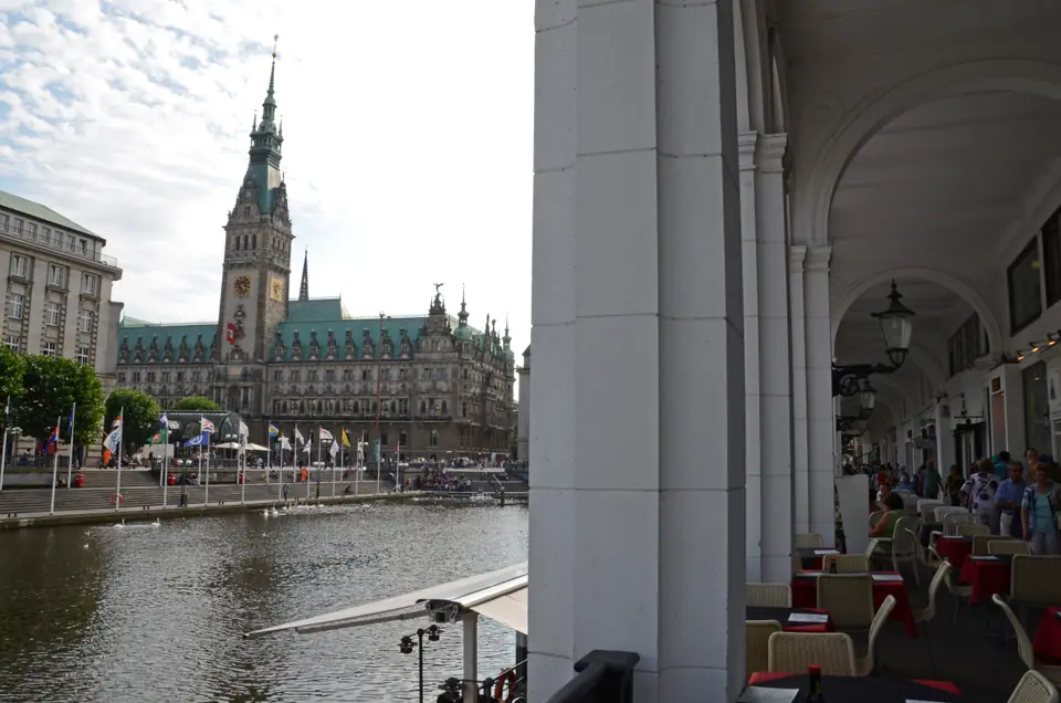
Beside Kleine Alster, architect Alexis de Chateauneuf framed the rebuilt canal edge with pale vaulted limestone galleries at Alsterarkaden. Stroll beneath those quiet arches to watch boats slip toward the bridges before stepping out onto broad Rathausmarkt cobblestones. Between 1886 and 1897, the imposing 647-room Neo-Renaissance Hamburg Rathaus (Rathausmarkt 1, 20095) rose atop deep timber pilings. Its tall green copper tower and ornate sandstone facade signalled fresh mercantile confidence across newly brick-built boulevards. Today its sweeping open plaza stages civic gatherings, winter markets and quiet lunchtime benches beside the canal.
July 1943: Operation Gomorrah and the Firestorm
Barely a century later, wartime air raids devastated Hamburg on an incomparably deadlier scale. From 24 July to 3 August 1943, Allied RAF and USAAF fleets launched relentless day-and-night bombing raids under Operation Gomorrah. Crews dropped radar-jamming foil strips known as Window during combat runs. On the warm, bone-dry night of 27 to 28 July, shattered water mains and dense incendiary hits merged into a self-feeding atmospheric firestorm (Feuersturm).
Hurricane-force inward winds near 240 kilometres per hour and temperatures around 800 degrees Celsius swept eastern working-class districts. Hammerbrook, Hamm, Borgfelde and Rothenburgsort bore the fiercest destruction. Roughly 34,000 to 40,000 people died, widely tallied near 37,000. Around 214,350 dwellings out of 414,500 lay in ruins, and nearly one million citizens evacuated across surrounding towns. Entire terraced quarters vanished overnight around the eastern canals where dockworkers lived.
Post-War Functionalism East of Hauptbahnhof
Walk east outside Hamburg Hauptbahnhof and that wartime scar jumps right off the map. Where dense red-brick tenements once lined working canals, 1950s planners laid broad highway corridors and open lawns beside crisp functionalist concrete blocks. Walking from old brick streets west of the tracks into breezy eastern avenues shows visitors immediately why residential neighbourhoods vary so sharply in building age. That stark urban rupture echoes contrasting post-war rebuilding across Dresden and Berlin.
Mahnmal St. Nikolai: Ruined Spire and Anti-War Memory
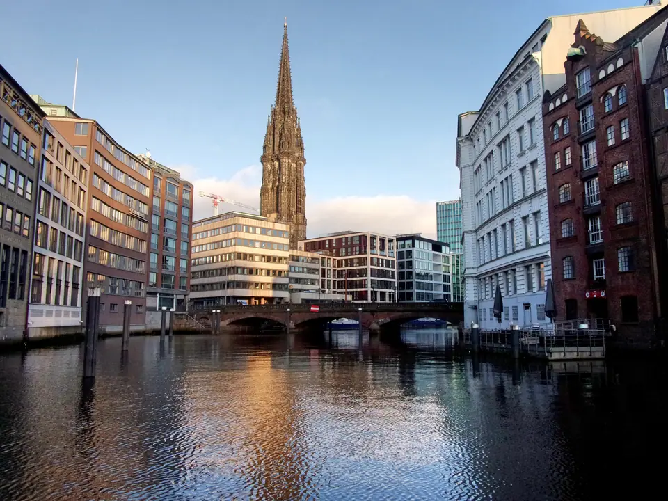
Back inside the historic centre on Willy-Brandt-Straße 60 (20457), Mahnmal St. Nikolai keeps wartime grief plainly visible. English architect Sir George Gilbert Scott designed the Gothic Revival church from 1846 onward after the 1842 fire. Its soaring 147.3-metre spire ranked as the tallest building in the world from 1874 to 1876 until surpassed by Rouen Cathedral. Allied bombers used that clear silhouette as a July 1943 navigation beacon, gutting its stone nave to blackened ribs.
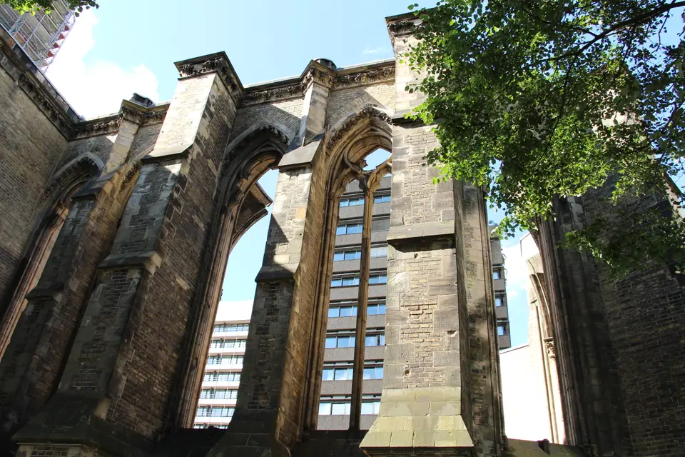
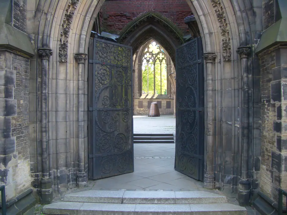
Hamburg deliberately kept the nave roofless under open coastal sky as a civic memorial against war and dictatorship. Standing beside weathered limestone piers lets fast North Sea clouds sweep directly overhead where vaulted roofs once closed. A bronze sculpture and commemorative church bell rest beneath damaged arches under a 51-bell tower carillon. Downstairs, the vaulted cellar exhibition traces Nazi terror, Hamburg's 1943 firestorm and bombed sister cities across Europe.
The 76-Metre Lift and 2025-2028 Upgrade Works
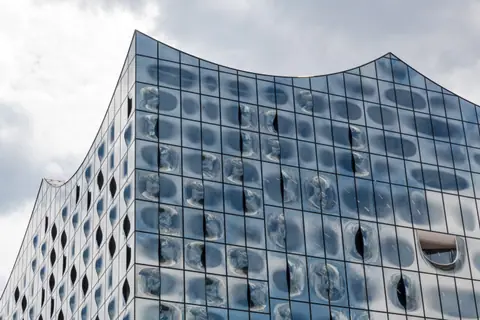
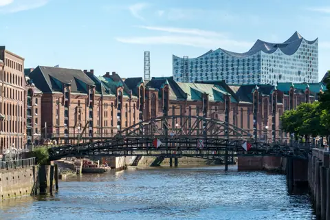
Inside the hollow tower shaft, a glass panoramic lift carries visitors high above central rooftops. Its viewing deck sits 76 metres above street level. From one high platform, sightlines frame Speicherstadt bricks, the post-1842 Rathaus spire and the Elbphilharmonie glass wave together. Crucially for 2026 visits, Mahnmal St. Nikolai stays open daily during major site works. A federally funded accessibility and welcome-pavilion redesign runs from mid-2025 through 2028.
Check tower lift notices on mahnmal-st-nikolai.de before walking down. Quiet side benches inside the open courtyard let visitors pause beside weathered limestone pillars and carved stone memorial tablets before walking on toward town. Then trace Deichstraße south from Alsterarkaden toward central piers to read all three eras on foot in one unhurried afternoon. Watching modern river barges pass beneath brick walls next to blackened church stone anchors Hamburg's rebuilt skyline far more clearly than any glass plaque indoors.
Where it is
- 1Two Fires That Shaped Hamburg
- Hamburg Helmut Schmidt Airport (HAM) · about 9 km from here in a straight line
- Directions in Google Maps
Stations and taxi ranks: OpenStreetMap. Airports: OurAirports. Distances are in a straight line.
Traveller tips
Real advice from people who have been to Hamburg. Every tip is read by our team before it goes live.
No tips yet. Been here? Yours could be the first.
Thank you! Your tip will appear here after a quick review.
More in Hamburg
Continue exploring Hamburg with related neighbourhood, food, and planning guides