Photo: Huhu Uet · CC BY 3.0
Hamburg Between Two Rivers: The Elbe, the Alster and Canals
Orientation across Hamburg's working Elbe waterfront, twin Alster lakes and tidal brick canals.
How Two Rivers Shape Hamburg's Geography
Arrive at Hamburg Hauptbahnhof and coastal myths fade fast. The open North Sea lies roughly 100 kilometres downstream. Yet twice-daily Atlantic tides push strong currents straight past St. Pauli piers and towering container cranes. Across town, locals trade a crisp, all-day greeting of "Moin" (pronounced MOYN) at every hour. Rain clouds sweep inland quickly across flat marsh ground and blow clear over wide basins just as fast.
This city-state covers roughly 755 square kilometres across 7 boroughs and 104 quarters, stitched together by around 2,500 bridges. That scale feels vast on a map, yet central walks snap clear once you divide working harbour from green parks. Follow Mönckebergstraße or Spitalerstraße west past St. Petri toward Rathausmarkt. In a brisk flat stroll, you cross the urban hinge linking lakeside promenades to heavy shipyards.
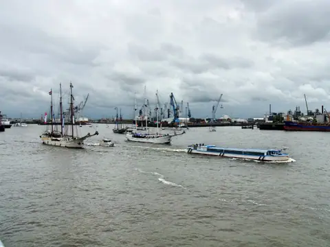
South of the Rathaus runs the Elbe, a tidal maritime lane lined with dry docks, warehouse islands and ferry slips heading into HafenCity and the Elbphilharmonie. Container terminals sprawl across the southern bank, whereas historic brick merchant lanes hug the northern shore. Five minutes north of town hall, medieval earth dams widen the smaller River Alster into two serene urban lakes surrounded by grassy banks and boat clubs.
Walking Beneath the Elbe at Landungsbrücken
Walk straight down to St. Pauli Landungsbrücken (20359) to watch Elbe tides in daily motion. Hinged steel gangways rise and drop several metres between ebb and flood tide while ocean tugs tow freighters past floating pontoons. Beside the eastern ferry slips sits a pale-green copper rotunda dome.
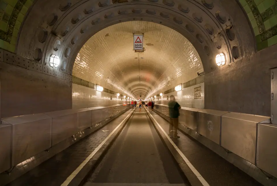
That dome caps the 1911 Alter Elbtunnel, formally named the St. Pauli-Elbtunnel. Historic timber-panelled vehicle lifts and winding iron stairs drop roughly 24 metres underneath the busy shipping channel. Twin glazed-tile tubes then run 426.5 metres across to the industrial south quay at Steinwerder.
After multi-year structural works across 2024 to 2026, private cars stay banned from both bores. Pedestrians and cyclists cross free round the clock. Heavy lifts run during daytime spans while side stairwells stay open overnight. Emerging on the south bank gives crisp skyline views pairing well with harbour ferry rides. Right outside the piers, hop elevated U3 trains running along the scenic steel viaduct connecting Landungsbrücken, Baumwall and Rödingsmarkt. Always check Hamburg Port Authority pages before rolling bikes through during lift maintenance.
Binnenalster, Außenalster and the Fleete Lattice
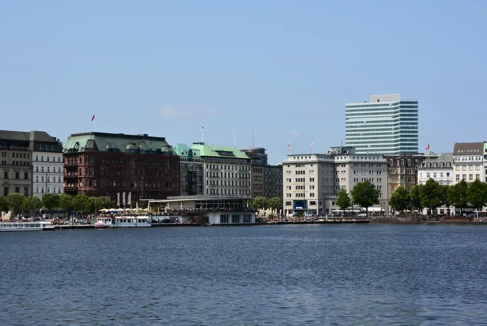
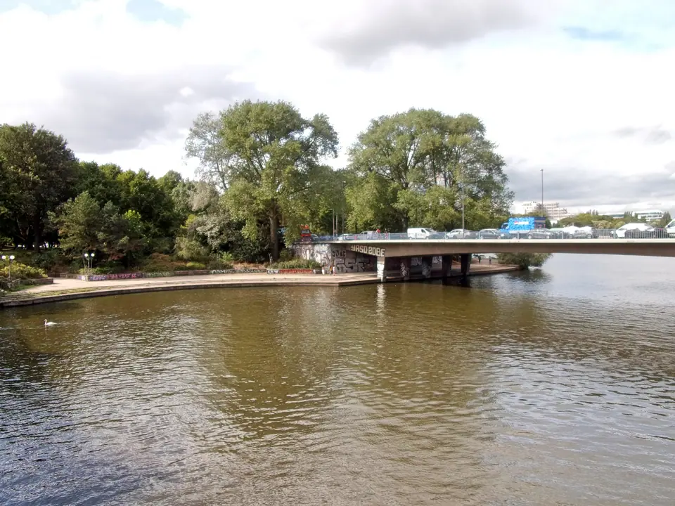
Where the Elbe carries diesel air, sea salt and crane clatter, the Alster lakes act as Hamburg's green drawing room. Road and rail bridges at Lombardsbrücke and Kennedybrücke narrow the dammed basin right behind downtown shops. On the south side lies the formal 18-hectare Binnenalster (pronounced BIN-en-ahl-ster), edged by white facades on Jungfernstieg (20354) and classic Alsterdampfer wooden passenger boats.
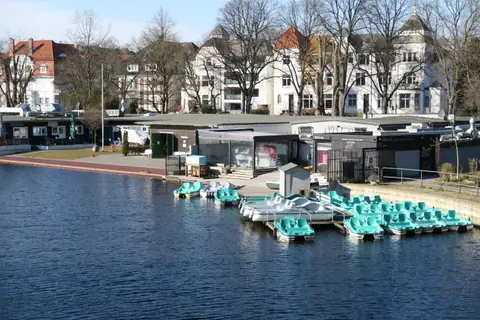
North of those bridges, water opens into the sprawling 164-hectare Außenalster (pronounced OW-sen-ahl-ster). Sailboats tack across wide gusts while runners circle flat gravel paths past Alsterpark and Uhlenhorst jetties. Weather shifts swiftly across exposed water, so check our seasonal guide before packing a fragile umbrella instead of a windproof hooded shell. Side jetties and lakeside cafes give walkers quiet rest points away from central tram and bus lanes.
Tying the upper lakes back down to the Elbe runs an intricate lattice of Fleete (pronounced FLAY-teh). These tidal stone canals slip beneath busy office bridges toward the Speicherstadt warehouse quarter. Along Deichstraße, surviving merchant houses preserve timber loading hatches above dark canal water where barges unloaded spice sacks by pulley. Heavy storm barriers along low quays also remind walkers how close winter storm surges still push up the river.
Practical Three-Minute Rules for New Arrivals
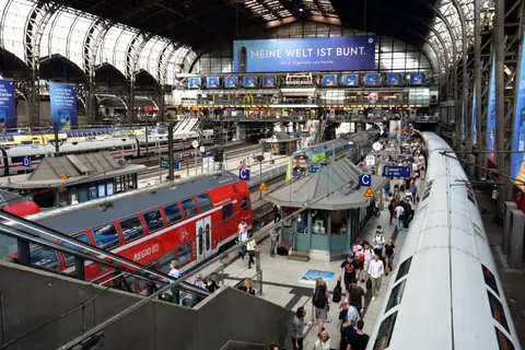
Because central Hamburg spreads horizontally across bridges and water channels, smart early habits prevent damp backtracking. Carry contactless bank cards, though market fish stalls and local bakeries still welcome euro coins. Remember German Sunday closing rules too: regular supermarkets and retail stores shut on Sundays, whereas bakeries, museums and station shops inside Hauptbahnhof stay lively. Carry a refillable water bottle on summer loops since free street fountains remain sparse outside parks.
Flat parkland paths invite rental bikes around the Alster, yet wet Speicherstadt cobbles rattle narrow tyres after rain. If an itinerary allows extra days, northern trains reach brick Hanseatic streets in our Lübeck excursion guide. Anchor your opening stay around these core habits.
- Rely on one hvv zone ticket on land and river. The hvv network combines U-Bahn lines U1 to U4, S-Bahn rail, buses and green-and-white HADAG ferries inside one fare map. Never board a boat expecting onboard ticket sales. Buy passes via pier machines, the hvv app or a multi-day Hamburg CARD (1 to 5 days, solo or groups up to 5; a non-transit option suits Deutschlandticket holders). It works as smoothly as transit in Berlin or Copenhagen.
- Check S1 carriage splits before airport runs. Northbound S1 trains divide at Ohlsdorf on return trips. Read our arrival guide so you sit inside the front three cars.
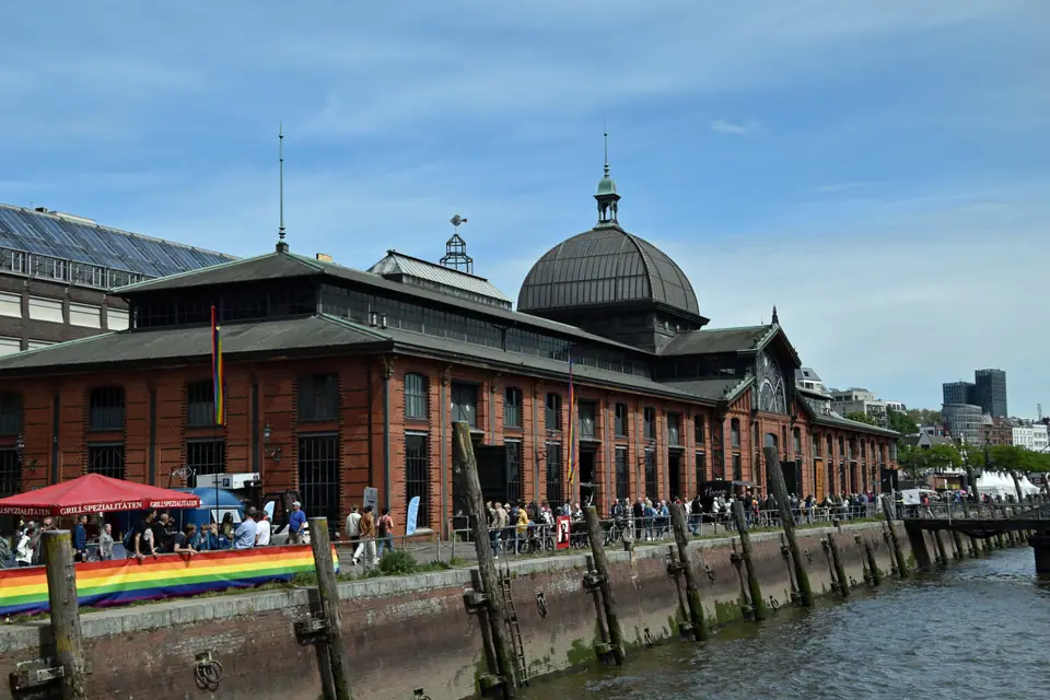
- Catch Altona Fischmarkt on Sunday dawn. Operating since 1703 beside the 1894 to 1896 brick Fischauktionshalle (Große Elbstraße 9, 22767), market auctions and bands fill strictly early Sunday mornings. Verify seasonal trading spans on official Hamburg pages before heading west.
- Respect station bans and border ID rules. Permanent Waffenverbotszone ordinances forbid blades exceeding 4 centimetres around Hauptbahnhof and St. Pauli zones. Carry a valid passport for cross-border trains, check Schengen entry rules on official government sites, and review our district guide on overnight city taxes.
Where it is
- 1Hamburg
- Hamburg Helmut Schmidt Airport (HAM) · about 9 km from Hamburg in a straight line
- Directions in Google Maps
Stations and taxi ranks: OpenStreetMap. Airports: OurAirports. Distances are in a straight line.
Traveller tips
Real advice from people who have been to Hamburg. Every tip is read by our team before it goes live.
No tips yet. Been here? Yours could be the first.
Thank you! Your tip will appear here after a quick review.
More in Hamburg
Continue exploring Hamburg with related neighbourhood, food, and planning guides