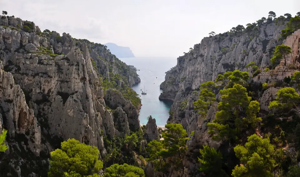
Photo: Tobi 87 · CC BY-SA 3.0
Calanques National Park: Wildfire Rules, Sugiton and Buses
Reach Sugiton, Morgiou, Sormiou, and En-Vau without a car on RTM buses while mastering 1 June to 30 September wildfire bans and Sugiton's 400-visitor daily QR permit.
Board a south-bound city bus near Castellane and urban tarmac vanishes within minutes beneath white Urgonian limestone cliffs plunging straight into emerald Mediterranean coves. Created by decree on 18 April 2012 as France's tenth national park, the Parc national des Calanques holds rare geographic status. It stands as Europe's only peri-urban national park spanning city districts, karst summits, and deep marine canyons. Borders touch southern Marseille streets directly before sweeping east past Cassis to La Ciotat.
Across 520 square kilometres inside the core protection zone, barely 85 square kilometres (about 16%) lie on dry karst rock. The larger 435 square kilometres (84%) shelter deep underwater canyons and drowned prehistory offshore. Arriving blind to summer fire bans, locked dead-end road barriers, or daily cove quotas turns keen beach mornings into weary turnarounds at closed trailhead gates.
From the 1923 Defence Committee to a Land-and-Sea Park
Shielding these narrow coastal creeks required a sustained civic campaign spanning from a 1923 protection committee to national park decree 89 years later. Hikers formed the Comité de défense des Calanques in 1923 specifically to stop industrial coastal quarrying inside jagged En-Vau. Deep underwater below neighbouring Cap Morgiou hides the drowned Stone Age sanctuary recreated full scale inside Cosquer Méditerranée. Today, marine guards enforce anchorage boundaries across deep turquoise fjords so coastal habitats recover cleanly beneath visiting boats.
Prefecture Fire Maps and Automatic Red-Day Bans
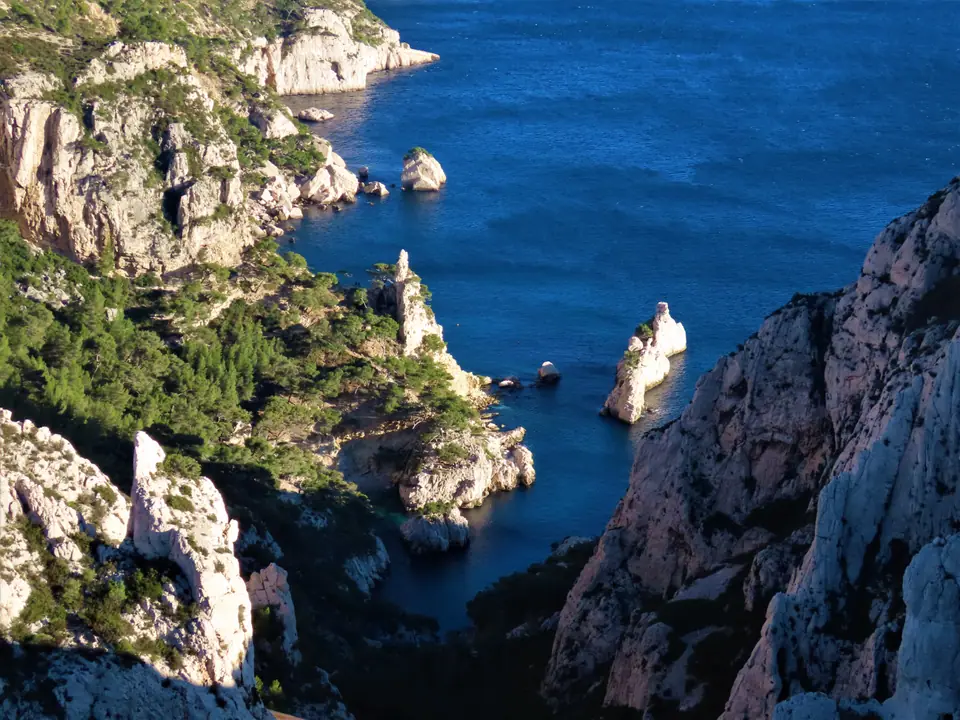
Sun-parched limestone scrub, dried pine needles, and gusty Rhône Mistral winds turn coastal slopes into severe wildfire zones every summer. Every evening between 1 June and 30 September, the Bouches-du-Rhône Prefecture issues an official colour-coded fire-risk access map. Updates posted at risque-prevention-incendie.fr/13 and inside the Mes Calanques app govern all trailheads for the following calendar day.
Whenever the Calanques sector rates Red (Journée Rouge), every land footpath, access road, and shoreline boat landing shuts 24 hours a day by prefecture decree. Rangers enforce trail closures strictly across main gateways, and Red days cancel every Sugiton booking held for that date automatically. Skipping evening checks risks morning police turnbacks far away from central tram stops.
Securing Sugiton's Free 400-Visitor Daily QR Permit
Heavy summer crowds reaching 2,500 daily walkers severely eroded fragile pine roots descending into Calanque de Sugiton and neighbouring Pierres Tombées. Peak summer weekends (late June and early September) plus every day through July and August trigger mandatory entry caps. Walking down onto Sugiton's shore requires a free online permit from calanques-parcnational.fr limited strictly to 400 visitors per day.
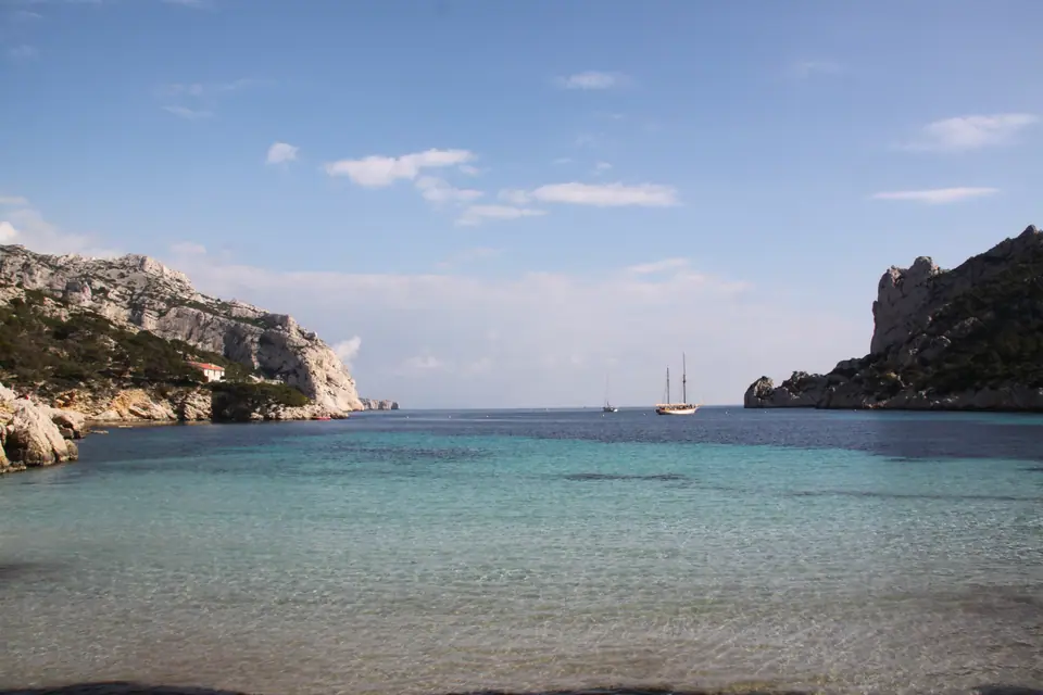
Bookings unlock three days ahead for groups up to 5 hikers, delivering a QR pass scanned by rangers along the lower descent trail. Walkers turning back at the upper Col de Sugiton viewpoint need zero reservation whenever massif gates sit open. Skip booking quotas on green summer mornings by riding city buses west toward Sormiou or sheltered Morgiou. Fit walkers can also start east from Cassis's Port-Miou inlet, hiking past narrow Port-Pin straight into dramatic En-Vau without permit hoops. Always confirm evening fire-map updates before packing lunch bags for any coastal route, since midday limestone sun reflects fiercely.
Road Closures Blocking Sormiou, Morgiou and Callelongue
Drivers aiming down steep coastal switchbacks hit locked barrier arms months before peak August crowds arrive. Narrow dead-end valley roads dropping into Sormiou, Morgiou, and Callelongue remain open only to residents and confirmed seaside restaurant bookings. Gate closures enforce restrictions on spring weekends from Easter holidays and daily from June through September. Public buses drop hikers cleanly outside valley barriers without stressful uphill reversing. Skipping rental cars completely avoids long hillside jams when afternoon traffic backs up toward town.
Riding RTM Buses Straight to Karst Trailheads
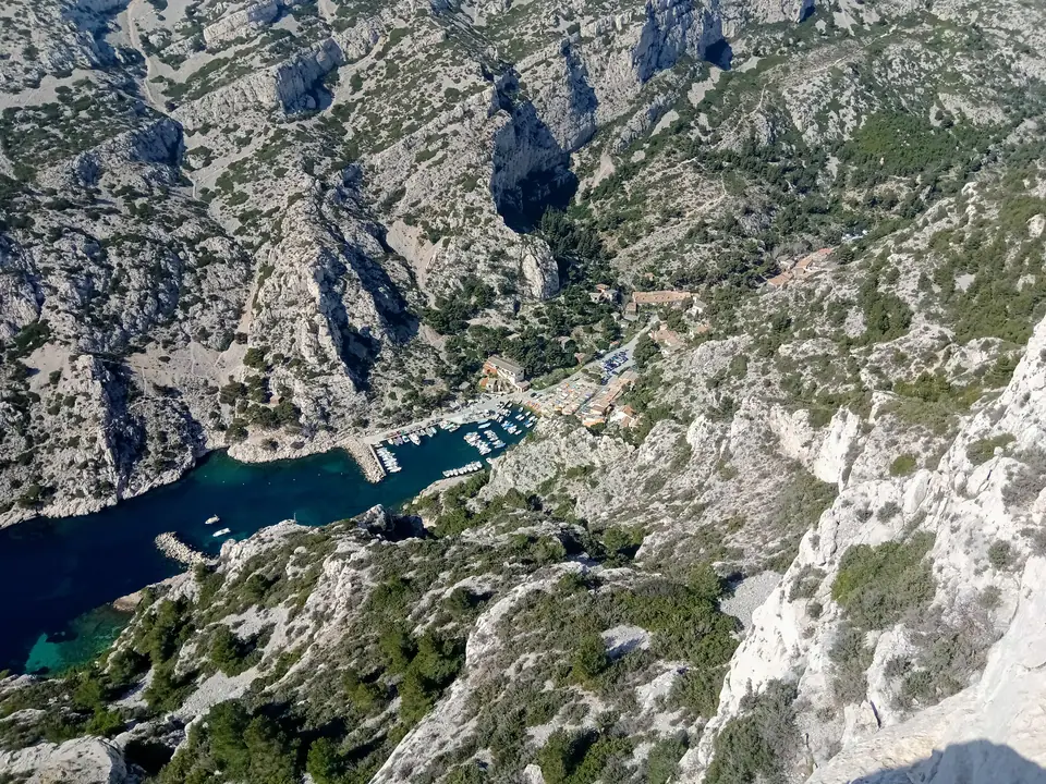
Avoid driving headaches altogether by riding frequent RTM city bus routes linking southern metro stations straight to limestone trailheads. Pair each destination inlet directly with the numbered line reaching its valley gate:
- Take Bus B1 from Castellane to Campus Luminy (43.2121°N, 5.4514°E): Follow wide forest paths directly to Col de Sugiton overlooks, Sugiton cove QR checkpoints, and high canyon ridges gazing down onto Morgiou.
- Take Bus 22 or 22S from Rond-Point du Prado to Les Baumettes: Start along shorter western crest paths dropping past stepped limestone ledges directly into Morgiou's sheltered boat port.
- Take Bus 23 from Rond-Point du Prado to Beauvallon or La Cayolle: Cross the sunbaked ridge saddle down toward Sormiou's shallow turquoise cove cleanly past locked private vehicle gates.
- Ride Buses 19 and 20 via Madrague de Montredon to Les Goudes and Callelongue: Follow dramatic seaside corners past Prado and Pointe Rouge hubs straight to Callelongue's western trailhead quay.
- Confirm fire maps, permits and water reserves every prior evening: Check
risque-prevention-incendie.fr/13and Mes Calanques late the previous afternoon. Pack ample drinking water because coves like Sugiton and En-Vau hold zero shops, zero taps, scant shade, and spotty phone signal. - Wear sturdy lug-soled trail shoes across polished karst rock: Sun-baked limestone steps and loose scree punish flip-flops and flat urban trainers quickly. Grippy rubber soles protect ankles during warm climbs uphill back toward evening buses.
Where it is
- 1Calanques National Park
- Marseille Provence Airport (MRS) · about 32 km from here in a straight line
- Directions in Google Maps
Stations and taxi ranks: OpenStreetMap. Airports: OurAirports. Distances are in a straight line.
Traveller tips
Real advice from people who have been to Marseille. Every tip is read by our team before it goes live.
No tips yet. Been here? Yours could be the first.
Thank you! Your tip will appear here after a quick review.
More in Marseille
Continue exploring Marseille with related neighbourhood, food, and planning guides