


























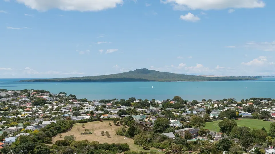
Rangitoto Island Volcano Summit Hike, Lava Caves & Hauraki Gulf Marine Park
How to visit Rangitoto Island from Auckland: take the 25-minute ferry across the Hauraki Gulf, hike the 2-hour Summit Track through the world's largest pohutukawa forest to the 260m volcanic crater, explore lava caves, and pack all water.
Almost everywhere you stand along Auckland's northern shoreline, your eye is drawn to the same unmistakable silhouette: the symmetrical, shield-shaped volcanic cone of Rangitoto Island rising 260 metres (853 feet) out of the Hauraki Gulf just eight kilometres from downtown. Protected as a Department of Conservation Scenic Reserve (doc.govt.nz), Rangitoto offers the most rewarding half-day island hike in the region.
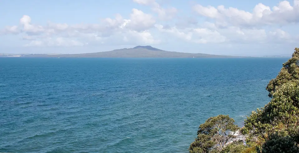
1. A 600-Year-Old Volcano, the World's Largest Pōhutukawa Forest & Pest-Free Birdlife
- Auckland's Youngest & Largest Volcano: Unlike Maungawhau (Mount Eden), which erupted 28,000 years ago, Rangitoto (2,311 hectares) emerged from the sea in a dramatic sequence of fiery scoria and lava eruptions only 550 to 600 years ago (around 1400 to 1450 CE). Its full Māori name, Te Rangi-i-totongia-a-Tamatekapua ("The day the blood of Tamatekapua was shed"), recalls a battle fought on the coast, and footprints of Māori witnesses have been uncovered preserved beneath hardened Rangitoto ash on neighbouring Motutapu Island.
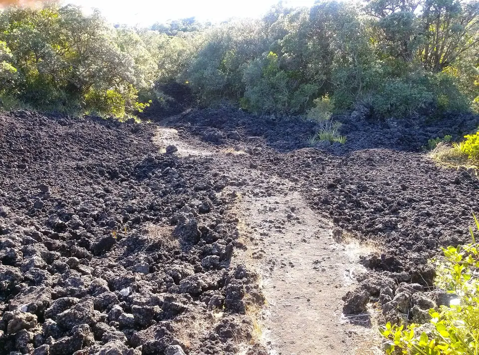
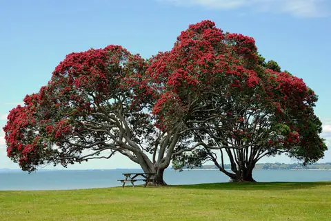
- Ecological Wonder on Bare Black Lava: With virtually no topsoil, the island's jagged black a'a and ropy pāhoehoe basalt lava fields have been colonised by the largest forest of crimson-flowering pōhutukawa trees on Earth, alongside more than forty species of native orchids and ferns. Since DOC eradicated all introduced predators in 2011, the island rings with the song of native tūī, bellbirds (korimako), kākā parrots, and saddlebacks (tīeke).
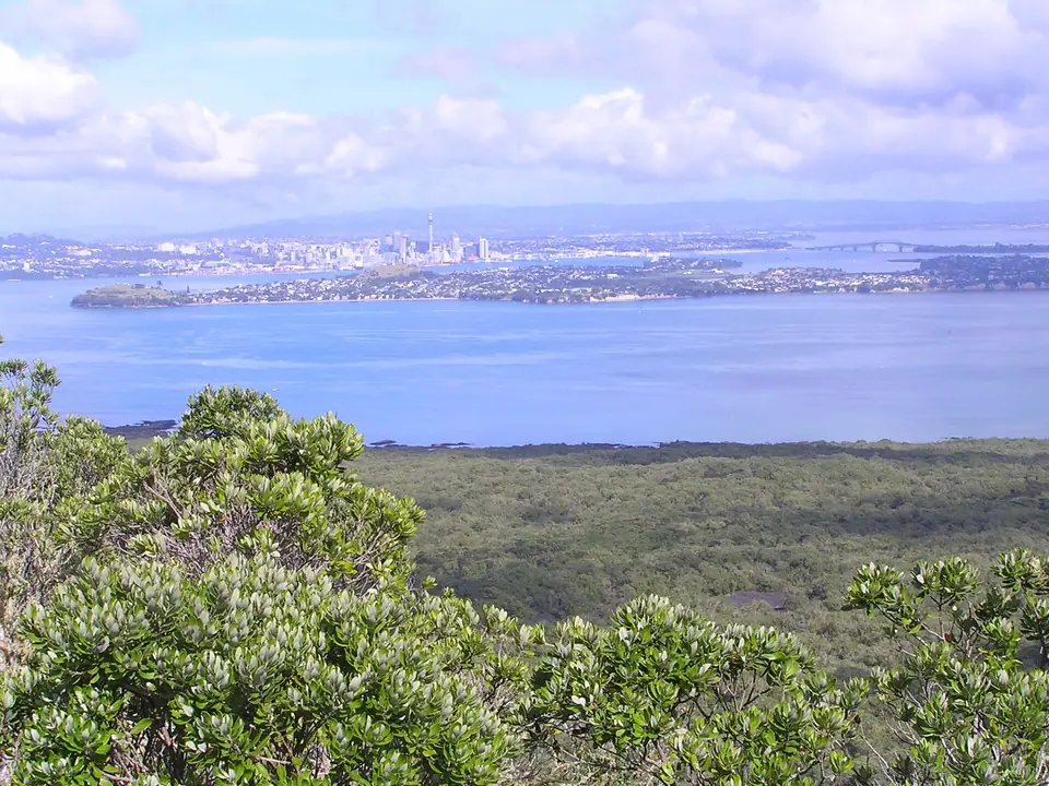
2. Walking the Summit Track (2 Hours Return), Lava Caves & Essential Preparation
- The Summit Track & Lava Caves Detour: Board the 25-minute Fullers360 ferry from the Downtown Auckland Ferry Terminal to Rangitoto Wharf. From the wharf, the well-graded scoria Summit Track (2.4 km each way, around 1 hour up and 45 minutes down) climbs steadily through gnarly pōhutukawa forest to a timber boardwalk circling the deep central scoria crater, with a 360-degree viewing platform facing Auckland, Waiheke Island, and the Coromandel Peninsula. Fifteen minutes below the summit, follow the signposted side trail (15 minutes each way; bring a phone torch) to walk right through underground basalt lava tubes (the Lava Caves) formed when liquid lava drained beneath a cooled crust.
- Three Golden Rules Before You Board the Ferry:
- Bring All Your Own Water & Food: There are zero shops, cafés, rubbish bins, or drinking-water taps anywhere on Rangitoto Island; carry at least 1.5 to 2 litres of water per person and pack out every wrapper.
- Wear Closed-Toe Shoes & Sun Protection: The black scoria gravel reflects fierce heat and slices open sandals (see our Auckland footwear guide).
- Never Miss the Final Afternoon Ferry: Check the return departure board at Rangitoto Wharf as soon as you step ashore; overnight camping is prohibited on Rangitoto.
Traveller tips
Real advice from people who have been to Rangitoto Island Volcano Summit Hike, Lava Caves & Hauraki Gulf Marine Park. Every tip is read by our team before it goes live.
No tips yet. Been here? Yours could be the first.
Thank you! Your tip will appear here after a quick review.
More in Auckland
Continue exploring Auckland with related neighbourhood, food, and planning guides
Auckland Orientation: Twin Harbours, Waterfront Precincts, Volcanoes & Gulf Islands
Auckland, New Zealand
12 Essential Landmarks, Islands & Volcanic Experiences in Auckland
Auckland, New Zealand

Arriving in Auckland: AKL Airport Transfers, Puhinui Train Link, AT Contactless & Ferries
Auckland, New Zealand
Best Time to Visit Auckland: Subtropical Summers, NIWA Climate Normals & Gannet Season
Auckland, New Zealand
