


























Photo: Aktron · CC BY-SA 4.0
Bratislava: Danube, Old Town & Cross-Border Rhythm
How to read Bratislava across its hilltop castle, pedestrian core, Danube crossings, and two-country borderland.
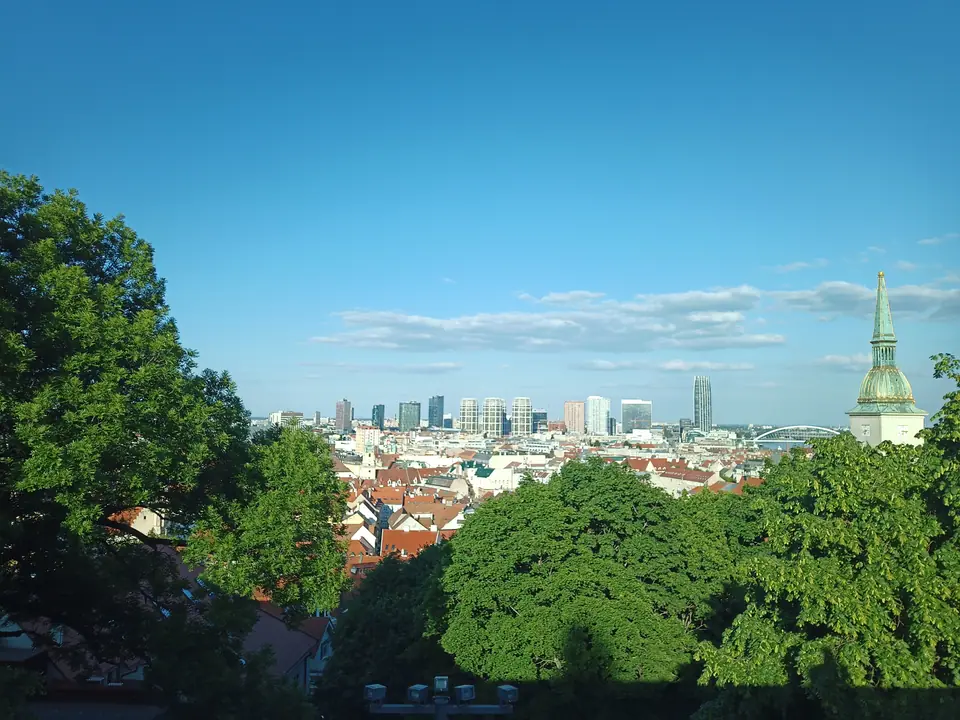
Bratislava (brah-tee-SLAH-vah) occupies a dramatic bend of the upper Danube where wooded Little Carpathian ridges flatten onto Central European plains. City boundaries cover 367.66 square kilometres with around 480,902 residents. Yet the medieval core, Staré Mesto (stah-REH MES-toh), stretches barely one kilometre across. Travellers walk comfortably from Gothic stone arches to broad embankments, Cold War bridge decks, and glass high-rises built since the 2000s.
Compact distances turn mornings calm rather than rushed. Morning commuters, river barges, and café regulars share quiet pedestrian lanes without pushing through dense crowds. Instead of spending hours riding underground lines, travellers see adjacent historical centuries standing side by side across shaded squares.
Two Borders, One Walkable Core
No other national capital borders two sovereign nations directly. Austrian frontier posts stand a short bike ride west across river meadows. Hungary begins roughly 18 kilometres south-east beyond Čunovo. Upstream, Vienna lies 55 to 60 kilometres west, turning twin-city excursions into routine train or catamaran hops.
That crossroads position built a richly mixed history. Chronicled in 907 as Brezalauspurc and chartered as a Royal Free City in 1291, the settlement gained imperial importance once Ottoman troops pushed north. From 1536 to 1783, Bratislava served as Hungary's royal capital and coronation seat under German (Pressburg) and Hungarian (Pozsony) names. Civic signage reflects its official 1919 renaming and its status as independent Slovakia's capital since January 1993.
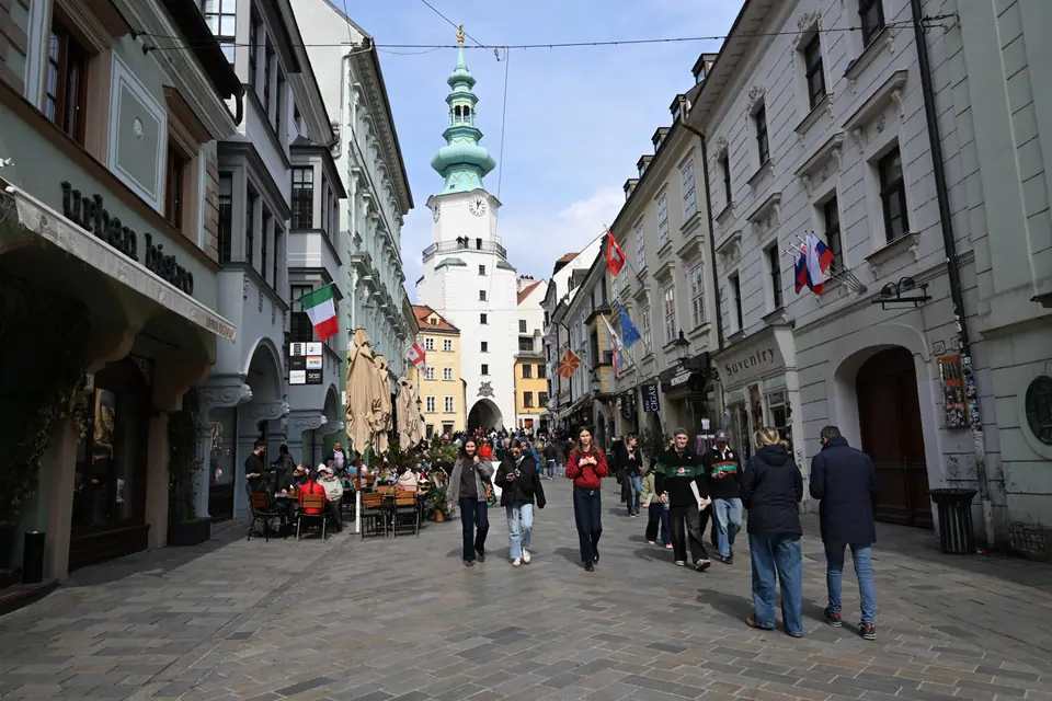
Multi-lingual roots show up clearly in courtyard architecture and café baking alike. Baroque town houses along Ventúrska and Michalská frame shaded stone archways where royal courtiers once lodged. Inside nearby tearooms, Austrian pastry skills sit directly next to Hungarian paprika flavours and Slovak mountain dairy traditions.
Reading the Danube Horizon
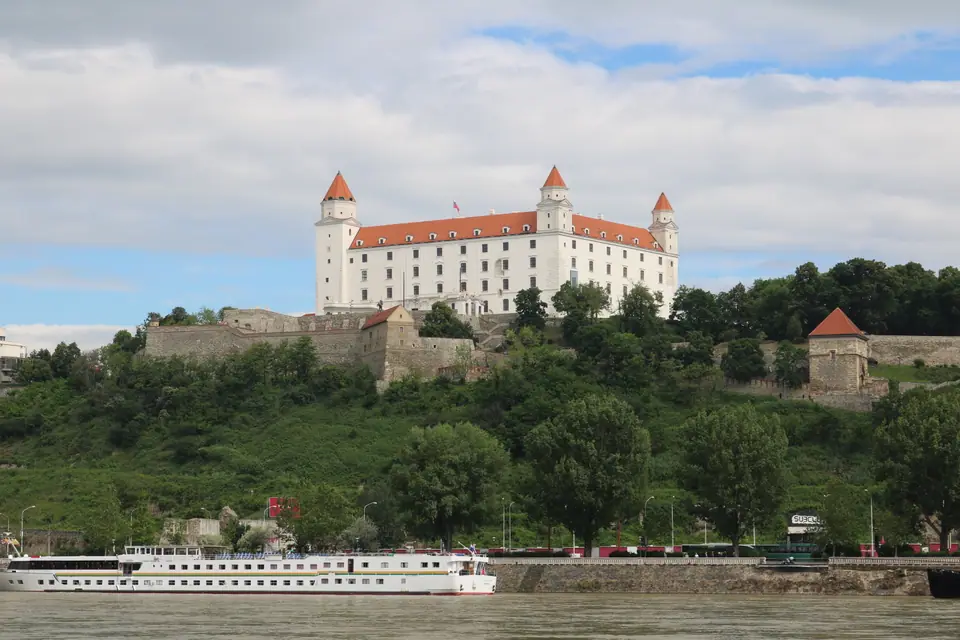
Orienting yourself takes one clear look upward from the river. On the western limestone hill stands whitewashed Bratislava Castle, perched 85 metres above river water level with four red turrets. Directly below its eastern slope spreads traffic-free Staré Mesto, filled with narrow lanes, aristocratic palaces, and shaded squares.
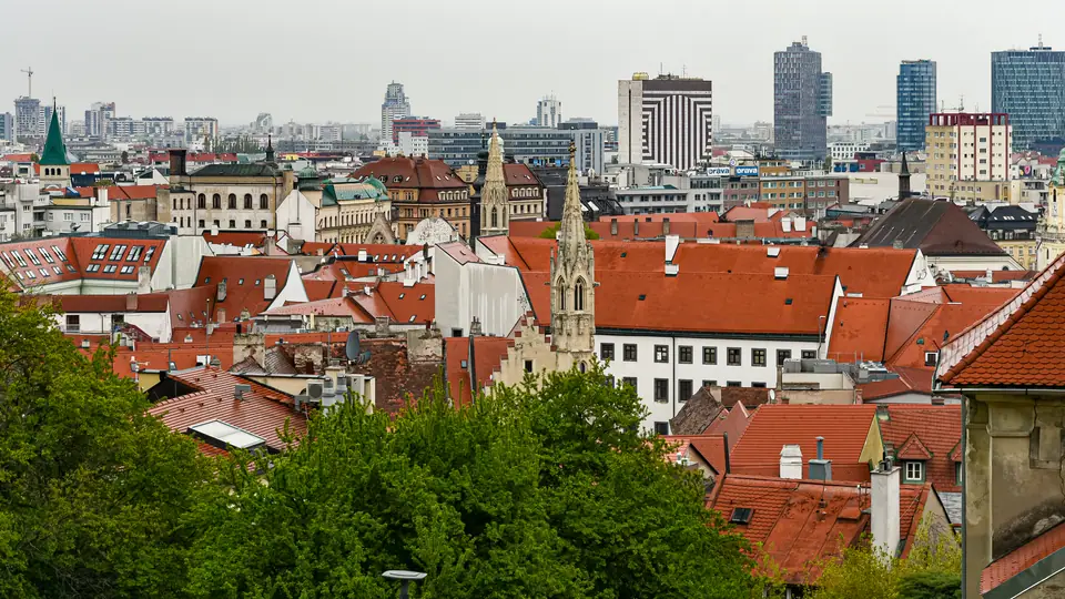
Walk east past the old medieval wall ring and scale changes fast. Business towers around Mlynské nivy and the 168-metre Eurovea Tower lead down onto wide stone promenades. Across the river stretches leafy Petržalka, linked back north by 6 Danube bridges including five central crossings between Most Lafranconi and Prístavný most. Opened down to Janíkov dvor in July 2025, extended Tram 3 ties southern Petržalka swiftly back into Staré Mesto. Combine this layout with our neighbourhood accommodation breakdown before booking a bed.
North and west of the inner streets, steep forested ridges box the city basin cleanly. Woodland trails climb past suburban vineyards onto Kamzík hill at 439 metres and west toward Devínska Kobyla at 514 metres. Down beside the water, sheltered pedestrian walkways carry strollers and cyclists straight across Starý most into flood meadows. Passing river barges look miniature from either bank beside Austrian wind turbines turning quietly on the flat western horizon.
Recent Restorations Around Staré Mesto
Returning visitors see historic landmarks visibly renewed across the centre. After long conservation works, medieval Michael's Gate reopened in September 2023 with lime facades and restored balcony access below its copper onion spire. Along Rázusovo nábrežie quay, the Slovak National Gallery (SNG) welcomed visitors back in December 2022. Architects Martin Kusý and Pavol Paňák united Vladimír Dedeček's 1970s cantilevered bridge wing cleanly with baroque courtyards and quiet reading spaces.
Near the Most SNP approaches, rebuilt Vydrica opened its initial phase in late 2024. Restored pedestrian lanes continued revealing historic ice pits and water-tower remains beneath the castle hill through 2025. Two relaxed days let you explore central galleries and monuments from our top sights directory. Three days leave unhurried room for river trips to Devín Castle, downstream Danubiana gallery, or Vienna.
Start walking Hlavné námestie early in the morning before river cruise groups reach the central fountains around midday. Spend late afternoons resting inside leafy courtyards or riding trams past quiet residential parks. Warm brass plaques, quiet bookshops, and small fountain squares reward slow wandering between museum doors. By dusk, outdoor tables refill along Michalská while late sunlight softens white castle stonework gently over Starý most footway.
Practical Footing, Cards and Language
Slovak is the local language, though hotel receptionists, young café staff, and museum desks speak fluent English or German. Friendly café baristas, bakery clerks, and tram inspectors assist unfamiliar visitors smoothly without confusion. Compact cobblestone lanes reward cushioned shoes over thin soles, and light daypacks fit rain shells easily beside folding city maps. Keep these practical essentials clear before packing.
- Currency and cards: Slovakia uses the euro across the Eurozone. Contactless cards work from bakeries to tram validators, though small coins remain handy for station luggage lockers and village cellars.
- Transit card tapping: Operator DPB fits trams and buses with yellow Kartuj card readers. We detail them next to airport coaches inside our arrival and transit guide.
- Passport and entry checks: Schengen rules cover 90-day stays inside any 180-day window. Non-EU passports must be under 10 years old with three months left past departure, so pack yours on Vienna or Hungary day trips.
- Water, sockets and help: Municipal tap water is safe to drink. Wall sockets supply 230 V on Type C or E two-pin plugs, and emergency help answers nationwide on 112.
- Dining pace: Pair midday plates of sheep-cheese dumplings with lighter market snacks and dry Carpathian whites covered inside our Slovak food directory.
Where it is
- 1Bratislava
- M. R. Štefánik Airport (BTS) · about 8 km from Bratislava in a straight line
- Vienna International Airport (VIE) · about 40 km from Bratislava in a straight line
- Directions in Google Maps
Stations and taxi ranks: OpenStreetMap. Airports: OurAirports. Distances are in a straight line.
Traveller tips
Real advice from people who have been to Bratislava. Every tip is read by our team before it goes live.
No tips yet. Been here? Yours could be the first.
Thank you! Your tip will appear here after a quick review.
More in Bratislava
Continue exploring Bratislava with related neighbourhood, food, and planning guides
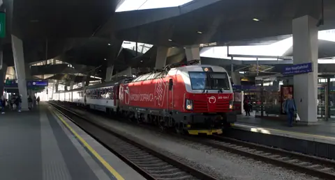
How to Get to & Around Bratislava: Vienna Rail, BTS & PAAS
Bratislava, Slovakia
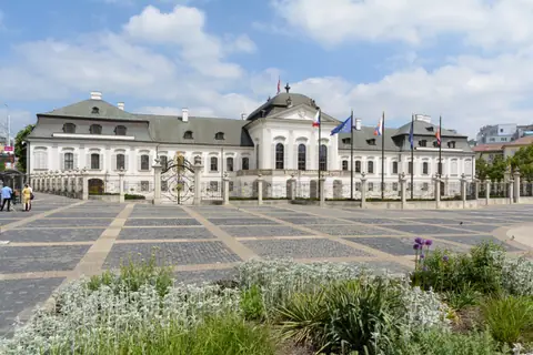
Where to Stay in Bratislava: Quiet Streets, Waterfronts & Petržalka
Bratislava, Slovakia
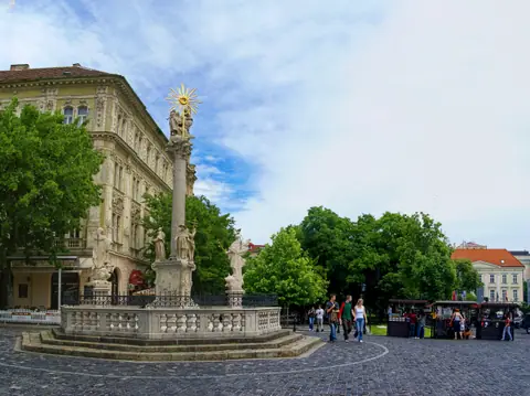
Best Time to Visit Bratislava: Climate, Harvest Wine & Advent
Bratislava, Slovakia
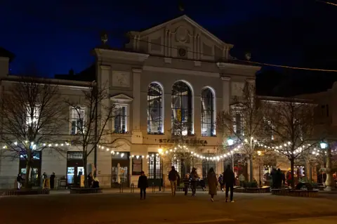
What to Eat in Bratislava: Halušky, Rožky, Stará Tržnica & Wine
Bratislava, Slovakia
