


























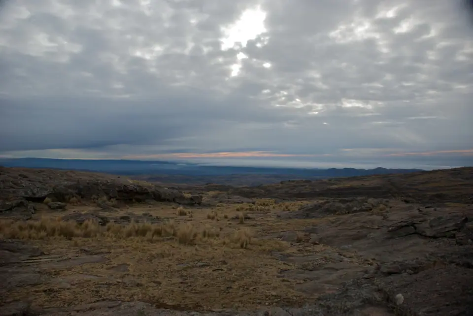
Camino de las Altas Cumbres, Quebrada del Condorito National Park & Traslasierra Guide
Cross Córdoba's high-altitude Pampa de Achala plateau (2,100m) along the Camino de las Altas Cumbres: hike to watch Andean condors at Quebrada del Condorito National Park and descend to Mina Clavero.
Less than ninety minutes west of downtown Córdoba, the forested hills give way to a windswept, sub-Andean granite tableland rising above 2,100 metres (6,900 feet): the Pampa de Achala, the hydrological "water tower" where the province's major rivers are born. Crossing this high plateau along paved Ruta Provincial 34 (Camino de las Altas Cumbres) brings you to central Argentina's only National Park and to the sun-drenched river gorges of the Valle de Traslasierra.
1. Hiking to the Condor Balconies in Parque Nacional Quebrada del Condorito
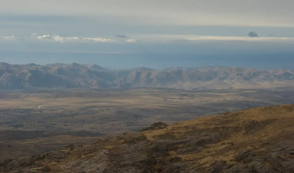
Created in 1996 across 37,344 hectares of the Pampa de Achala (with its visitor trailhead at La Pampilla, at Km 59.5 of RP 34, 85 kilometres from Córdoba), Parque Nacional Quebrada del Condorito protects an 800-metre-deep V-shaped granite canyon where thermal updrafts allow scores of Andean condors (Vultur gryphus) to nest and teach their fledglings to fly:
- The Trail to Balcón Norte (12 km Round Trip, 4 to 5 Hours): Entry to the National Park is free of charge, though visitors must register at the ranger centre and enter during morning trail-opening hours (check the official Administración de Parques Nacionales portal before setting out, as high winds or thick fog can close the upper trail). Descending across golden pajonal tussock grasses and twisted groves of endemic tabaquillo trees (Polylepis australis) with flaking coppery bark, the well-marked path reaches the cliff-edge viewing deck of Balcón Norte. Here, suspended directly opposite the granite roosting ledges (condoreras) on the canyon wall, you frequently watch juvenile and adult condors with three-metre wingspans gliding at eye level just metres away, before descending to the crystal pools of the Río Condorito at the bottom of the gorge.
2. Camino de las Altas Cumbres & the Valle de Traslasierra (Mina Clavero & Nono)
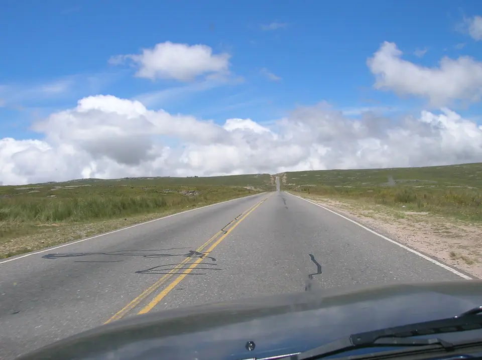
- Descending the Hanging Bridges & Giulio Cesare Pass: West of La Pampilla and the roadside waterfall of Cascada del Cóndor, the Camino de las Altas Cumbres plunges 1,200 vertical metres down the western wall of the Sierras Grandes (or along the historic 1918 stone-arch Ruta de los Puentes Colgantes through Copina) with sweeping views across the Traslasierra plain.
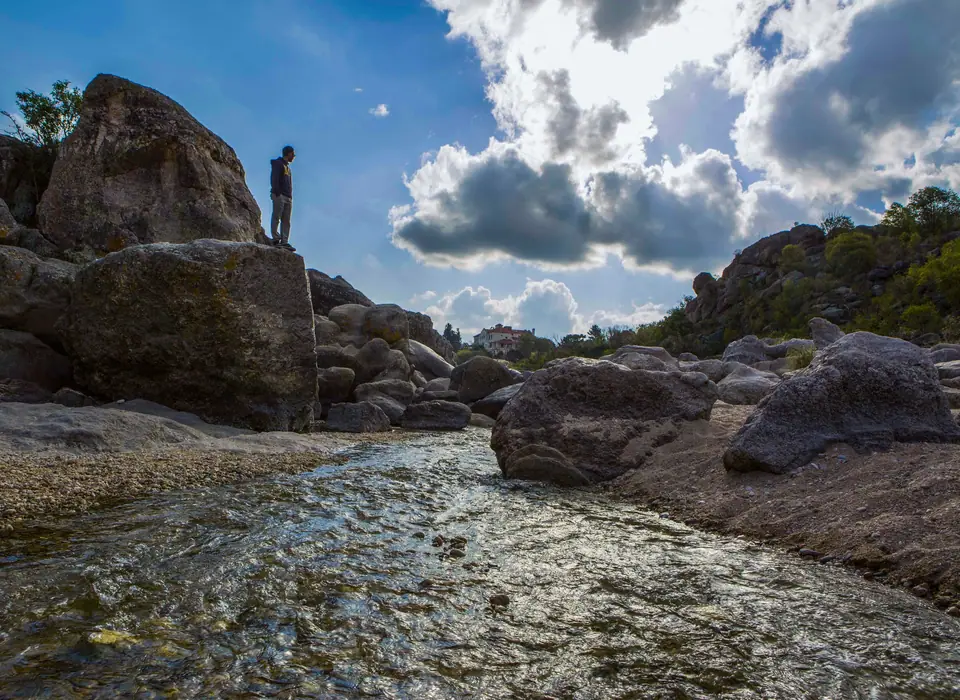
- Mina Clavero, Nono & Villa Cura Brochero: At the foot of the pass, the cold, mineral-rich waters of the Río Mina Clavero (voted one of the Seven Natural Wonders of Argentina) carve deep granite swimming pools such as Nido del Águila and Los Elefantes. Eight kilometres south in quiet Nono, framed by two breast-shaped volcanic hills (Los Nonos), sits the eclectic Museo Polifacético Rocsen (founded in 1969 by French immigrant Juan Santiago Bouchon with over 55,000 historical and natural history objects), while neighbouring Villa Cura Brochero honours Argentina's "Gaucho Saint", San José Gabriel del Rosario Brochero (1840 to 1914), who rode by mule across these crags to build roads, schools, and aqueducts.
Traveller tips
Real advice from people who have been to Camino de las Altas Cumbres, Quebrada del Condorito National Park & Traslasierra. Every tip is read by our team before it goes live.
No tips yet. Been here? Yours could be the first.
Thank you! Your tip will appear here after a quick review.
More in Córdoba
Continue exploring Córdoba with related neighbourhood, food, and planning guides
Villa Carlos Paz, Lago San Roque & Punilla Valley Guide (Cosquín, La Cumbre & Capilla del Monte)
Córdoba, Argentina
Cuarteto Music, Fernet con Coca & La Docta University Culture Guide, Córdoba
Córdoba, Argentina
Córdoba Argentina: La Docta Layout, UNESCO Heritage & Sierras
Córdoba, Argentina
12 Best Things to Do in Córdoba, Argentina: Jesuit Block, Museums & Sierras
Córdoba, Argentina
