


























Kaliningrad: Seasons, Districts and Planning
Essential planning for Kaliningrad across its historic Pregolya River islands, Prussian fortification belt, and Baltic coastline.
Lying along the Pregolya River where it drains toward the Vistula Lagoon, Kaliningrad is Russia's westernmost regional capital, separated from the Russian mainland and set between Poland and Lithuania. Originally founded as Königsberg on 1 September 1255 by the Teutonic Knights under Grand Master Poppo von Osterna on the Old Prussian hill fort of Twangste, the city grew around three medieval towns: Altstadt (1286), Löbenicht (1300), and Kneiphof (1327), united by King Frederick William I on 13 June 1724. After British air raids in August 1944 and the Red Army capture of the fortress on 9 April 1945, the Potsdam Agreement placed the region under Soviet administration on 1 August 1945, and the city received the name Kaliningrad on 4 July 1946.
How the City Is Laid Out
Modern Kaliningrad (situated within an oblast of roughly one million residents across 15,125 square kilometres) centres on two river islands and a nineteenth-century defensive ring:
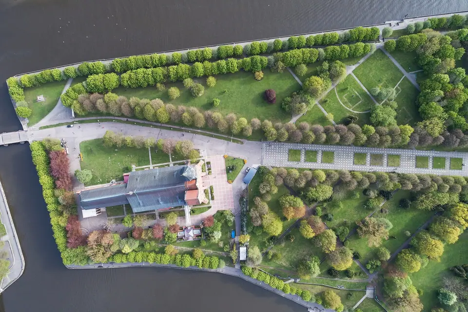
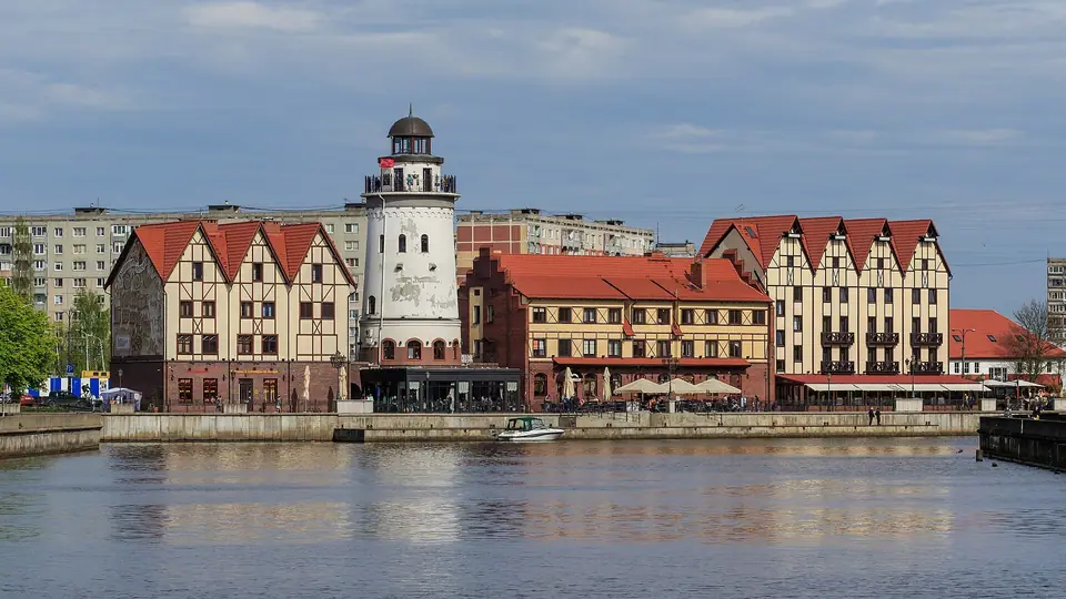
- Kant Island and Fishing Village: The 10-hectare former Kneiphof island holds Brick Gothic Königsberg Cathedral and Immanuel Kant's tomb, linked by the 1542 Honey Bridge to the Fishing Village waterfront on Oktyabrsky Island.
- Museum Quay and Stock Exchange: West along the Pregolya, the 1875 Italian Neo-Renaissance Stock Exchange faces the Museum of the World Ocean embankment.
- Upper Pond and Fortification Belt: North of the river, the 41.1-hectare Upper Pond created in 1270 meets the 1853 Dohna Tower Amber Museum and the surviving nineteenth-century city gates.
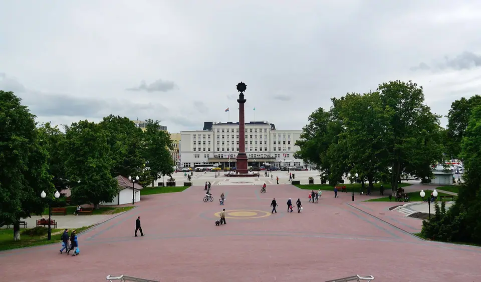
- Victory Square and Amalienau: Victory Square anchors the commercial centre beside North Station, while Amalienau preserves early twentieth-century garden-city villas to the west.
When to Visit and Coastal Weather
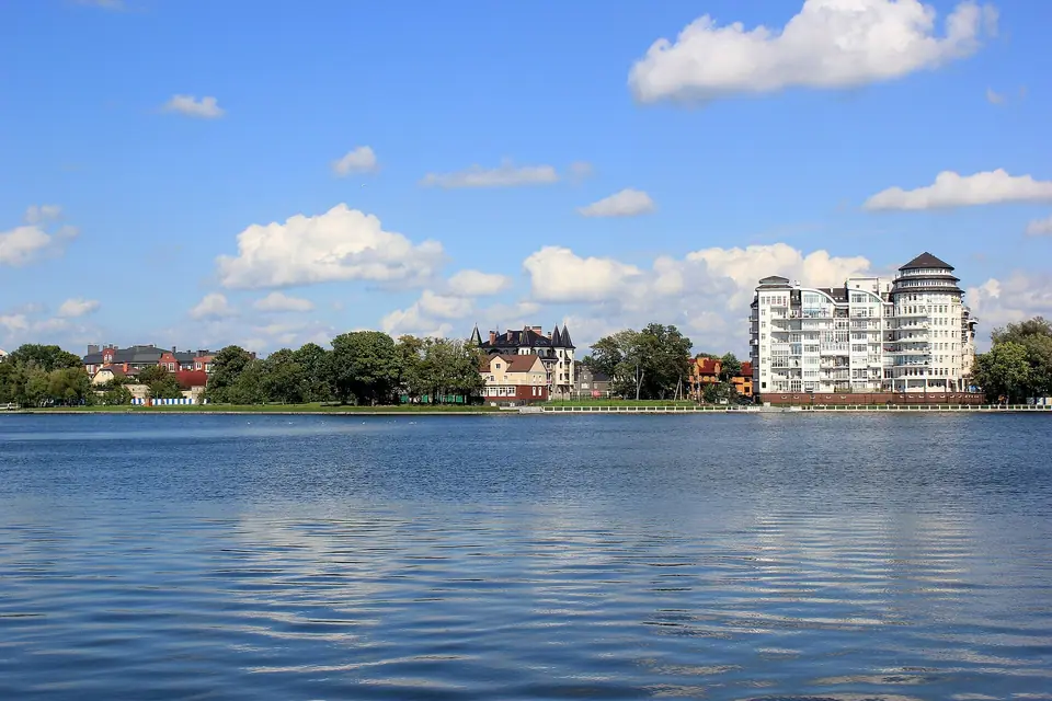
Moderated by the Baltic Sea, Kaliningrad experiences a temperate transitional climate averaging 816 millimetres of annual precipitation and 1,707 sunshine hours. Spring (April to May, daytime highs 13 to 18 °C, with April the driest month at 38 millimetres) brings blossoming chestnut trees in Amalienau. Summer (June to August, highs 21 to 24 °C) is peak season for the Curonian Spit and the beaches of Zelenogradsk, Svetlogorsk, and Yantarny. Autumn (September to October, highs 12 to 18 °C) suits museum visits, while winter (December to February, highs 1 to 3 °C, lows -2 to -4 °C) stays mild compared with mainland Russia.
Traveller tips
Real advice from people who have been to Kaliningrad: Seasons, Districts and Planning. Every tip is read by our team before it goes live.
No tips yet. Been here? Yours could be the first.
Thank you! Your tip will appear here after a quick review.
More in Kaliningrad
Continue exploring Kaliningrad with related neighbourhood, food, and planning guides
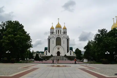
Victory Square, Christ the Saviour Cathedral and the Stock Exchange
Kaliningrad, Russia
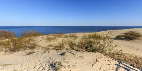
Curonian Spit and Dancing Forest: UNESCO Dunes, Efa Height and Fringilla
Kaliningrad, Russia
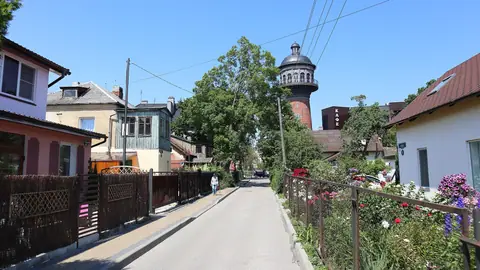
Zelenogradsk, Svetlogorsk and Yantarny: Baltic Resorts, Water Towers and Amber Coast
Kaliningrad, Russia
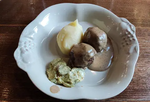
What to Eat in Kaliningrad: Königsberger Klopse, Baltic Fish and Marzipan
Kaliningrad, Russia
