


























Medellín: Essential Planning for the City of Eternal Spring
Plan your visit to Medellín, Colombia with practical advice on the Aburrá Valley geography, the integrated Metro and Metrocable network, neighbourhoods, and Antioquian culture.
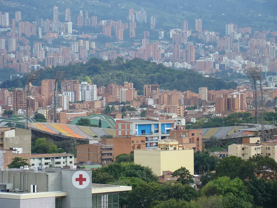
Cradled at 1,495 metres (4,905 feet) above sea level inside the narrow green corridor of the Aburrá Valley (Valle de Aburrá) in Colombia's Central Andes, Medellín is the capital of the Department of Antioquia and the country's second-largest metropolis. Known across Latin America as La Ciudad de la Eterna Primavera (The City of Eternal Spring) because its daytime temperatures hover near 28°C in every month of the year, Medellín has earned global recognition for its bold urbanismo social (social urbanism), linking hillside neighbourhoods to the valley floor via aerial gondolas, outdoor escalators, library parks, and botanical gardens.
From 1616 Settlement to Antioquia's Capital
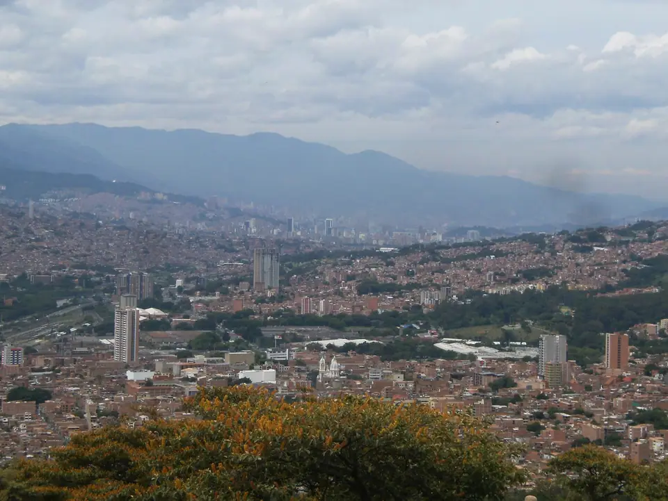
Spanish explorer Francisco Herrera Campuzano established the first indigenous and colonial hamlet of San Lorenzo de Aburrá on 2 March 1616 in what is today Parque El Poblado, before Queen Regent Mariana of Austria issued a Royal Decree on 2 November 1675 officially founding the Villa de Nuestra Señora de la Candelaria de Medellín along the banks of the Medellín River. Surrounded by rugged mountains until late nineteenth-century railways and high-altitude coffee exports opened the region, Antioquians developed a distinct regional culture known as Paisa identity, celebrated in their hospitality, hearty Bandeja Paisa platters and high-mountain Arabica coffee, and the annual August Feria de las Flores.
How the Aburrá Valley Is Organised
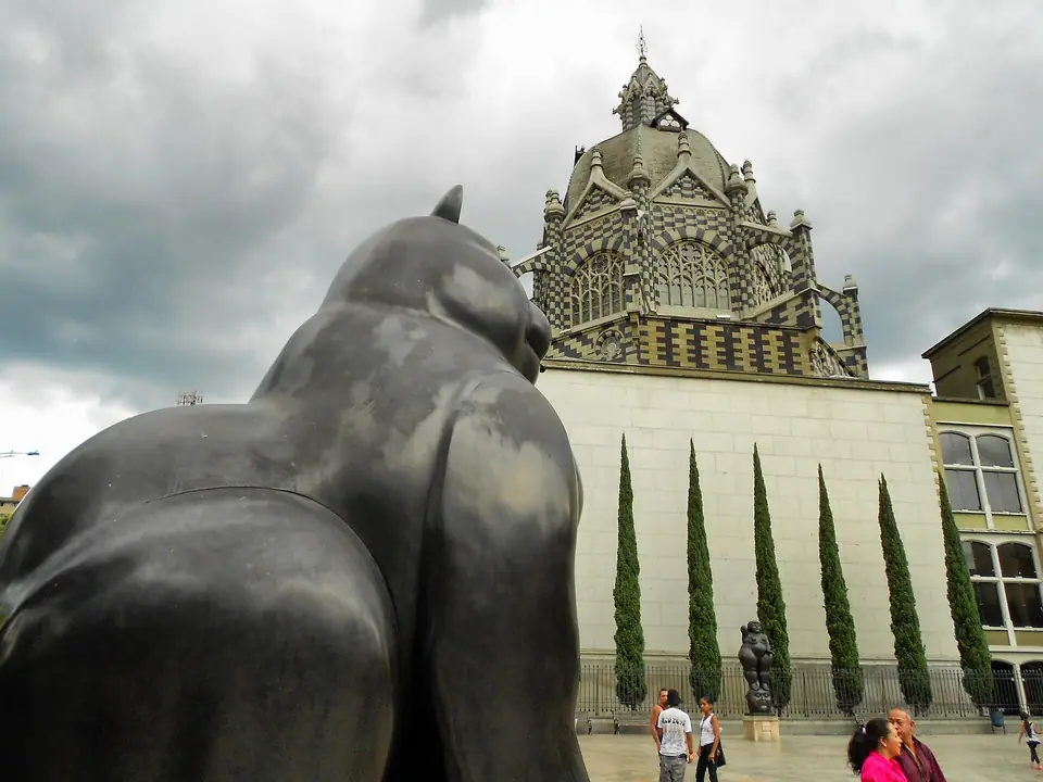
- La Candelaria (El Centro) and Zona Norte: The historic commercial heart around Plaza Botero, the Museo de Antioquia, and the Palacio de la Cultura, continuing north to the Jardín Botánico Orquideorama and Parque Explora.
- El Poblado (Southeast) and Laureles (West): The two primary bases for visitors. See our Where to Stay in Medellín guide to compare leafy Provenza and Manila in El Poblado with the circular avenues of Laureles and Cerro Nutibara.
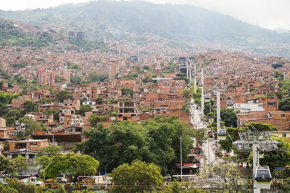
- The Western and Eastern Slopes: Ride Metro Line B west to San Javier for Comuna 13's outdoor escalators and murals, or soar east on Metrocable Line K and Line L into the 2,450-metre cloud forest of Parque Arví.
Traveller tips
Real advice from people who have been to Medellín: Essential Planning for the City of Eternal Spring. Every tip is read by our team before it goes live.
No tips yet. Been here? Yours could be the first.
Thank you! Your tip will appear here after a quick review.
More in Medellín
Continue exploring Medellín with related neighbourhood, food, and planning guides
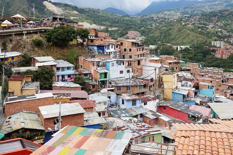
Comuna 13 (San Javier) Guide: Outdoor Escalators, Murals and Hip-Hop
Medellín, Colombia
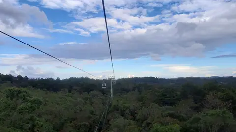
Metrocable, Parque Arví and Santa Elena Cloud Forest Guide
Medellín, Colombia
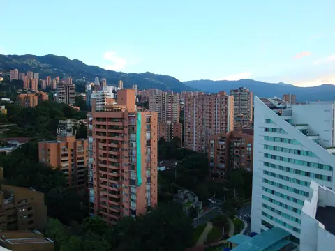
El Poblado, Provenza, Manila and Museo El Castillo Guide
Medellín, Colombia
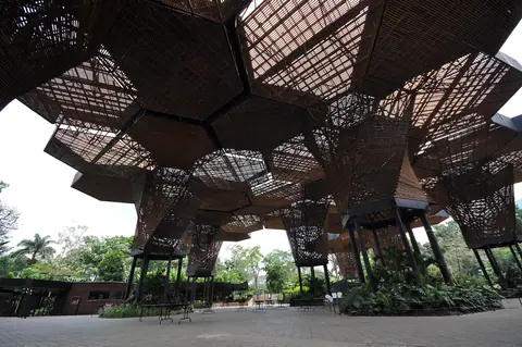
Jardín Botánico, Orquideorama and Parque Explora (Zona Norte) Guide
Medellín, Colombia
