


























Photo by Guido Coppa on Unsplash
Getting to New York City: Rail Connections and Transit from JFK, Newark and LaGuardia
Arriving in New York City requires picking the swiftest rail or bus connection across four distinct transit corridors.
AirTrain JFK and Express Rail Routes from Queens
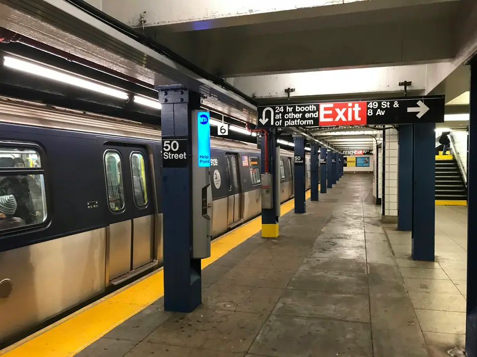
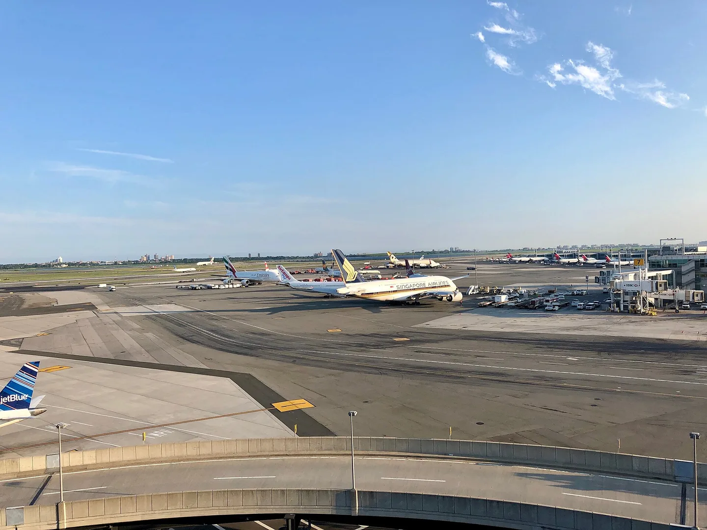
Touching down at John F. Kennedy International Airport places you in eastern Queens, where avoiding traffic jams on the highway requires smart rail choices. AirTrain JFK circles all active passenger terminals before branching outward towards two key transit stations. Boarding an AirTrain bound for Jamaica Station offers the quickest route into Midtown Manhattan. At Jamaica, elevated walkways connect directly to Long Island Rail Road commuter trains running into Penn Station and Grand Central Madison.
Travellers carrying lighter luggage can also opt for the subway system at Jamaica Station, following signs down to the E, J, and Z lines. Taking the E train brings you straight across Queens into Midtown Manhattan, serving stops along Eighth Avenue. Alternatively, taking the AirTrain south to Howard Beach connects to the A train for direct subway runs into Lower Manhattan and Brooklyn. Choosing rail links bypasses unpredictable bridge bottlenecks and avoids flat-rate taxi surcharges during afternoon rush hours.
Comparing your choices from the airport terminals simplifies arrival planning:
| Transit Route | Transfer Point | Manhattan Terminal |
|---|---|---|
| AirTrain to LIRR | Jamaica Station | Penn Station or Grand Central |
| AirTrain to E Subway | Jamaica Station | Midtown West and World Trade Center |
| AirTrain to A Subway | Howard Beach Station | Fulton Street and Lower Manhattan |
| AirTrain to NJ Transit | Newark Airport Station | New York Penn Station |
| Q70-SBS Bus to Subway | Jackson Heights | Midtown via E, F, M, R, and 7 Trains |
Checking tap-and-go contactless payment options on local transit gates speeds up transfers between platforms, while Manhattan street-grid orientation basics clarify uptown versus downtown rail directions.
Newark Liberty Rail Links into Midtown Manhattan
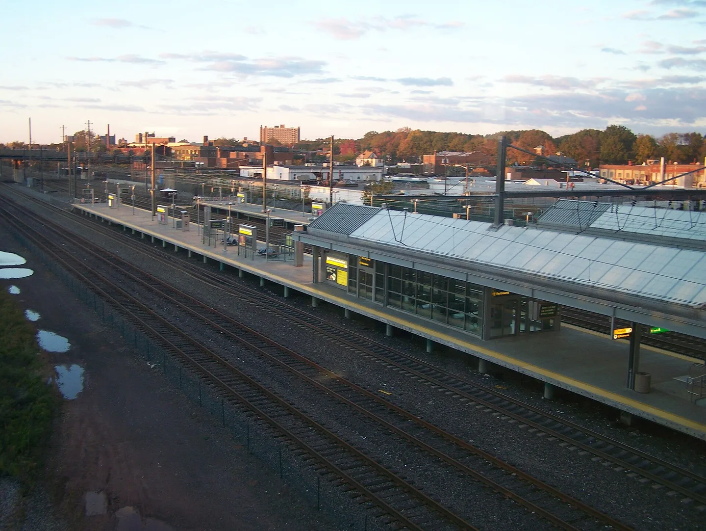
Newark Liberty International Airport sits west of the Hudson River in New Jersey, serving dozens of long-haul carriers. Many passengers assume crossing state lines complicates arrival, yet public rail often beats road traffic into central Manhattan. Automated AirTrain monorail cars link passenger terminals straight to the rail station along the Northeast Corridor mainline.
From the airport train station, NJ Transit commuter services run directly into New York Penn Station beneath Madison Square Garden. These trains travel above ground through the Meadowlands before entering the rail tunnels beneath the Hudson River. Bypassing the Lincoln Tunnel highway approaches spares visitors lengthy queues during peak morning and evening commuting periods. New Jersey commuter trains run frequently throughout the day, offering a predictable journey into the heart of Manhattan.
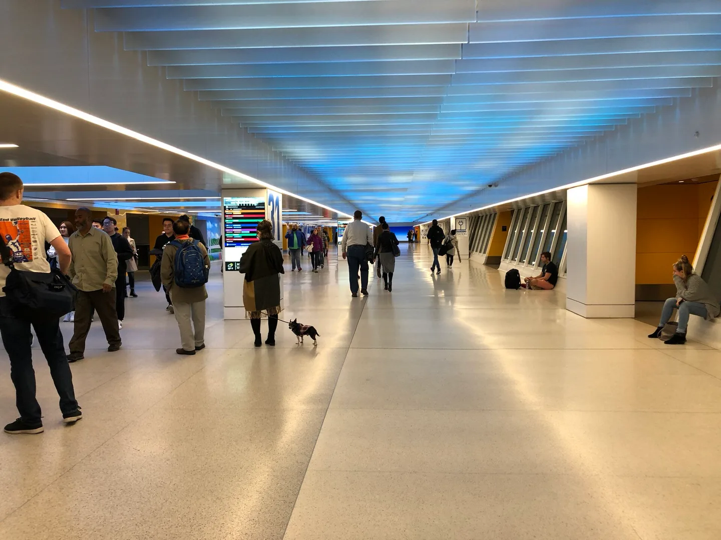
Arriving by rail into Penn Station puts you within steps of several core subway trunk lines. Passengers can transfer immediately to the 1, 2, and 3 trains on Seventh Avenue or the A, C, and E lines on Eighth Avenue. Choosing hotels around Midtown or Chelsea allows you to walk straight from the train platforms without entering street traffic. Checking your route on a map helps you settle into your chosen neighbourhood quickly and without stress.
LaGuardia Express Bus Connections and Subway Hubs
LaGuardia Airport handles domestic flights from northern Queens, sitting closer to central Manhattan than the other two regional airfields. Because no train lines reach the passenger terminals directly, public transport relies on dedicated bus lanes. The primary link is the Q70 LaGuardia Link Select Bus Service, which runs continuously between airport terminals and nearby subway junctions.
Boarding the Q70 bus is free for all passengers, allowing you to walk on through any door without touching a fare card. The bus travels along dedicated highway corridors straight to the Jackson Heights and Roosevelt Avenue subway complex. This busy Queens transit hub gives you access to five distinct subway lines, including the E, F, M, R, and 7 trains. Connecting to express subway services brings passengers into Midtown Manhattan in roughly half an hour.
Families with bulky pushchairs or heavy luggage often choose yellow metered taxis from official terminal ranks instead of buses. Highway routes into Manhattan from LaGuardia cross the Triborough Bridge or the Queensboro Bridge, which often slow down during morning commutes. Plan extra travel buffer when taking roads on rainy weekday mornings, matching rail transfer stops neatly against Midtown and Brooklyn hotel hubs with minimal platform changes.
Amtrak Rail Arrivals at Moynihan Train Hall
Arriving by train from cities along the East Coast brings you directly into Moynihan Train Hall in central Manhattan. Fast Acela and Northeast Regional services pull into modern subterranean platforms located beneath the grand skylit hall on Eighth Avenue. Passengers step off their train into a bright civic space featuring clear digital departure boards, wide escalators, and accessible concourses.
Moynihan Train Hall operates as the primary passenger facility for Amtrak and select Long Island Rail Road departures. Walking through the concourse connects you directly to the older Penn Station complex beneath Seventh Avenue. This central position lets rail travellers step out into the commercial core of Manhattan without taking a taxi or suburban bus. You can walk straight out towards Hudson Yards, the High Line, or the Herald Square shopping district.
Private cars and app-based vehicles collecting passengers near the rail station face dense street traffic throughout the day. Congestion pricing regulations below 60th Street apply to vehicles entering lower Manhattan neighbourhoods. Using the extensive underground passages to board local subway lines connects rail arrivals smoothly across the five boroughs of New York City.
Where it is
- 1New York City
- LaGuardia Airport (LGA) · about 13 km from New York City in a straight line
- Directions in Google Maps
Stations and taxi ranks: OpenStreetMap. Airports: OurAirports. Distances are in a straight line.
Traveller tips
Real advice from people who have been to New York City. Every tip is read by our team before it goes live.
No tips yet. Been here? Yours could be the first.
Thank you! Your tip will appear here after a quick review.
More in New York City
Continue exploring New York City with related neighbourhood, food, and planning guides
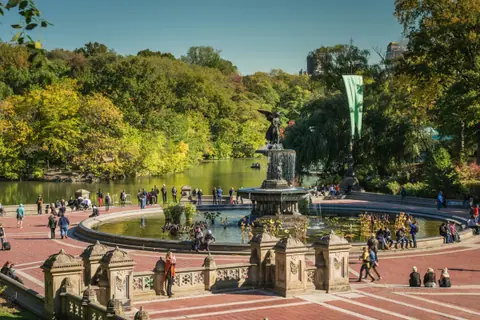
Central Park Walking Route: 59th Street to Belvedere Castle
New York City, United States
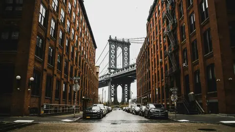
Brooklyn Neighbourhood Guide: Brooklyn Bridge Walk, DUMBO and Brooklyn Heights
New York City, United States
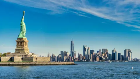
Statue of Liberty and Ellis Island: Official Ferries, Pedestal and Scams
New York City, United States
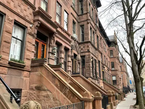
Where to Stay in New York: Neighbourhood Bases and Apartment Rules
New York City, United States
