


























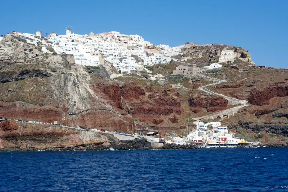
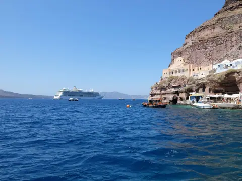
Photo by Nathan Van de Graaf on Unsplash
Santorini Beaches Guide: Kamari, Perissa, Vlychada & Red Beach Status
Comparing Santorini's volcanic black-sand beaches at Kamari, Perissa, and Vlychada, plus why Red Beach and the Ammoudi swim rock are restricted.
If your dream of a Greek island beach is powdery white sand and waist-deep turquoise lagoons, look to neighbouring Naxos, Paros, or Koufonisia. Santorini's beaches are forged by an active volcano, and they look like nowhere else in the Aegean. Along the gentle eastern and southern slopes of the island, millennia of eroded basalt lava and pumice have created multi-kilometre stretches of jet-black sand and dark volcanic pebble. Behind them rise lunar-white wind-carved cliffs and rust-red headlands. Because the dark volcanic grains absorb intense midday sunshine and the water drops off quickly into deep blue sea, pack a pair of water shoes from our what to wear guide before heading to the coast.
Comparing the East Coast Beaches: Kamari vs Perissa & Perivolos
The sheer limestone mountain of Mesa Vouno (360 metres high, crowned by the ruins of Ancient Thera) juts into the sea on the southeastern coast. It divides Santorini's two main black-sand resort bays.
- Kamari Beach (North of Mesa Vouno) / Best for Families & Walkability. Sheltered on its southern end by the vertical cliff face of Mesa Vouno, Kamari (kah-MAH-ree, 8 km from Fira) is a two-kilometre crescent of fine black pebbles and dark sand. Directly behind the sand runs a wide, car-free stone pedestrian promenade lined with casual Greek tavernas, bakeries, gelaterias, dive centres, and family-friendly mid-range hotels (see our where to stay guide). Organised sunbeds and thatch umbrellas are offered by beachfront cafés, often free or reduced when you order drinks and lunch. Lifeguards are on duty in summer, and KTEL buses run directly to Fira every 20 to 30 minutes. Note that a flat underwater ledge of smooth volcanic rock runs along part of the waterline at Kamari. Water shoes make entering the sea much easier. In the evening, catch an English-language film under the pines at the open-air Cine Kamari.
- Perissa & Perivolos (South of Mesa Vouno) / Finer Black Sand & Beach Clubs. On the southern side of the mountain, Perissa (peh-REE-sah, 12 km from Fira), Perivolos, and Agios Georgios form one continuous four-kilometre ribbon of finer black volcanic sand. Facing south-southeast, this coast is slightly better sheltered from the northern summer meltemi wind than Kamari. The northern end at Perissa right beneath the rock has a relaxed, budget-friendly village vibe with watersports and traditional fish tavernas. While swimming at Perissa, visit the striking five-domed blue-and-white Church of the Holy Cross (Timios Stavros) on the village square. Walking fifteen minutes south into Perivolos brings you to chic beachfront lounges with cushioned daybeds and afternoon music. In summer, a small wooden water taxi shuttles passengers around the base of Mesa Vouno rock between Kamari and Perissa.
Vlychada (The "Moonscape" Beach), Monolithos & Baxedes
If you want dramatic volcanic scenery without rows of loud beach bars, head to the southern, eastern, and northern edges of the island.
- Vlychada Beach (vlee-HAH-thah, Our Favourite Beach on Santorini). Stretching east from the small fishing harbour and yacht marina of Vlychada, this wide dark-sand beach is backed by 30-metre-tall pale yellow-grey volcanic pumice cliffs. Centuries of wind and rain have sculpted the soft pumice into surreal fluted chimneys and arches that look like the surface of the moon. Right beside the marina stands the Santorini Arts Factory (Tomato Industrial Museum) inside a restored 1945 tomato-paste cannery. The western end of Vlychada beach has a single row of sunbeds and two seaside tavernas, while walking 500 metres east leaves the crowds behind completely.
- Monolithos Beach (Just North of Kamari near the Airport). Unlike Kamari and Perissa where the seabed shelves steeply within a few paces of shore, Monolithos has a gently shelving sandy bottom and a shaded children's playground under tamarisk trees. That gentle gradient makes it a favourite with local families with toddlers.
- Koloumbos & Baxedes on the Quiet Northern Coast. Below Oia and Domaine Sigalas along the northern shore lie the quiet dark-sand coves of Baxedes, Paradisos, and Koloumbos. They are uncrowded and wild, though best visited on low-wind days when the northern meltemi is calm.
Current 2026/2027 Safety Closures: Red Beach, White Beach & Ammoudi
Santorini's southwestern caldera and Akrotiri cliffs consist of loose, friable volcanic scoria and pumice, making rockfalls a serious geological hazard. Following the February 2025 earthquake swarm and subsequent cliff collapses, Greek civil protection authorities enforce strict access rules through 31 March 2027.
- Red Beach (Kokkini Paralia) / Land Path Closed, View by Boat Only. Famous for its towering bowl of iron-red volcanic rock above dark pebbles near Akrotiri, Red Beach has suffered repeated rockslides over the past decade. Major sections of the cliff collapsed onto the sand during the February 2025 tremors. The footpath from the Agios Nikolaos church car park down to Red Beach is officially closed and fenced off. Do not climb over the warning signs. Instead, walk two minutes from the car park to the safe upper cliff viewpoint for photographs, or view the red cliffs from the water aboard a caldera cruise or the small wooden taxiboats departing from Akrotiri beach.
- White Beach (Aspri Paralia) & Mesa Pigadia. Accessible only by boat around the headland west of Red Beach, White Beach is a narrow pebble cove beneath chalk-white pumice cliffs. For a safer, accessible south-coast cove with a cliffside taverna that you can reach by road, visit neighbouring Mesa Pigadia, often called Black Beach.
- Ammoudi Bay Swimming Rock (Agios Nikolaos Islet Below Oia). The waterfront fish tavernas at the bottom of the 300 steps in Ammoudi Bay remain open for lunch and dinner. However, the narrow cliff-base footpath leading past the restaurants to the popular cliff-jumping rock opposite Agios Nikolaos chapel is closed under the 2026 to 2027 rockfall protection order. Swim from the southern beaches on Day 2 of our 3-day Santorini itinerary instead, and check bus routes to Kamari and Perissa in our Santorini transport guide. Freshwater rinse showers and wooden changing cabanas stand every two hundred metres along both black-pebble promenades.
Where it is
- 1Santorini Beaches
- Santorini International Airport (JTR) · about 8 km from here in a straight line
- Heraklion International Nikos Kazantzakis Airport (HER) · about 113 km from here in a straight line
- Directions in Google Maps
Stations and taxi ranks: OpenStreetMap. Airports: OurAirports. Distances are in a straight line.
Traveller tips
Real advice from people who have been to Santorini. Every tip is read by our team before it goes live.
No tips yet. Been here? Yours could be the first.
Thank you! Your tip will appear here after a quick review.
More in Santorini
Continue exploring Santorini with related neighbourhood, food, and planning guides
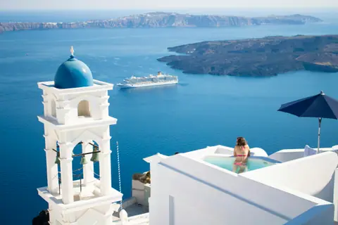
Santorini 3-Day Itinerary: Caldera Hike, Akrotiri, Wineries & Catamaran
Santorini, Greece
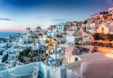
Santorini: Island Layout, 2025/2026 Rules & Tips
Santorini, Greece
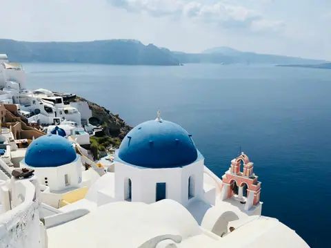
12 Best Things to Do in Santorini: Caldera Hike, Akrotiri & Wine
Santorini, Greece
How to Get to Santorini: Airport (JTR), Athinios Port & KTEL Buses
Santorini, Greece
