Photo: Julian Nyča · CC BY-SA 3.0
Sarajevo: River Basin, Four Faiths and Living Memory
How Sarajevo fits together between its Ottoman core, Habsburg boulevards, mountain slopes, cash habits and border rules.
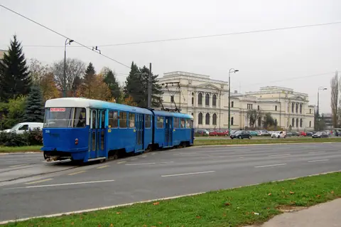
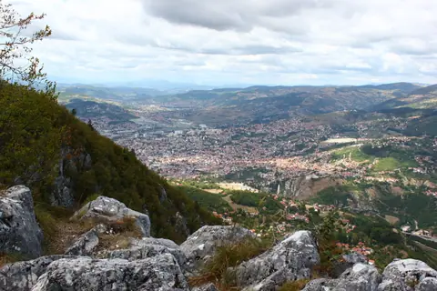
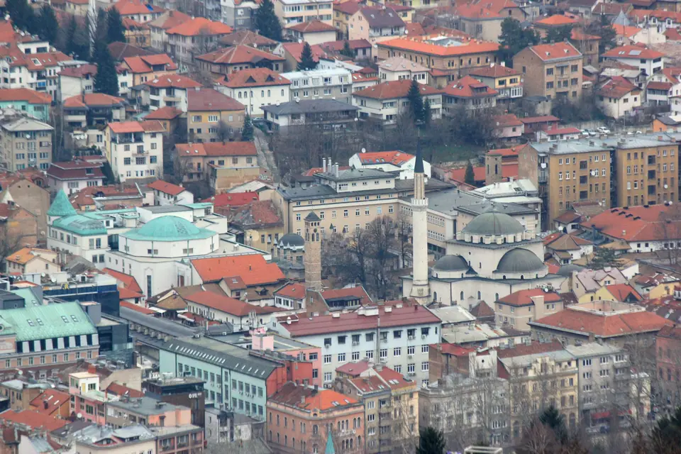
Sarajevo makes immediate geographic sense once you picture a long narrow trough running east to west along the shallow Miljacka River. Steep hillsides of Vratnik, Kovaci and Trebevic squeeze the eastern old quarters into compact stone streets at 518 to 550 metres above sea level. Heading west, the floor flattens out into wide residential avenues and tram corridors stretching toward Ilidza. Under Bosnia and Herzegovina's official 2013 census, 275,524 residents live inside four urban municipalities covering 141.5 square kilometres. Wider Sarajevo Canton holds 413,593 residents across mountain valleys and suburbs.
Where Ottoman lanes meet Habsburg stone on Ferhadija
Walk west from pigeon-filled Sebilj Square down pedestrian Ferhadija Street. A modest bronze stripe across the paving marks "Sarajevo Meeting of Cultures." Behind you lie low timber eaves, copper workshops, stone trade vaults and mosques rooted in Sarajevo's 1461 founding by Ottoman governor Isa-Beg Ishakovic. Early bazaar inns went up by 1462, locking in a tight urban grid of guild lanes and shady courtyards. Ahead of you rise four-storey Austro-Hungarian stone facades, tall corner windows and Habsburg civic squares built between 1878 and 1918.
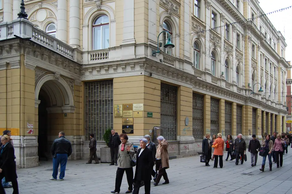
Continue west a few blocks and Ferhadija ends at the Eternal Flame memorial (Vjecna vatra). Unveiled on 6 April 1946, the bronze flame honours World War Two liberators beneath an apartment corner where tram routes merge. Past it, Marsala Tita Street runs into Marijin Dvor, where institutional buildings, towers and the National Museum show twentieth-century expansion.
| Urban zone | Primary period | Signature landmarks | Ground feel |
|---|---|---|---|
| Bascarsija and Kovaci | 15th to 18th-century Ottoman | Sebilj, Gazi Husrev-beg Mosque, Brusa Bezistan | Cobbled alleys and narrow steps. |
| Ferhadija and Cathedral | 1878 to 1918 Habsburg | Sacred Heart Cathedral, Eternal Flame, Vijecnica | Level paved pedestrian streets. |
| Marijin Dvor | 20th-century modern core | National Museum, parliamentary plazas, river walks | Broad flat avenues and trams. |
| Bistrik and Alifakovac | Mixed Ottoman and riverside | Trebevic Cable Car, 1864 Brewery, timber hills | South riverbank and steep climbs. |
Four historic faiths within ten minutes on foot
Few European capitals hold such varied religious architecture inside so small a walking circle. Starting near the Gazi Husrev-beg Mosque complex (completed 1531), a ten-minute loop passes four active spiritual landmarks. One lane east sits the walled 16th-century Old Orthodox Church, first documented in 1539 and rebuilt in stone in 1730. Two streets west rise the twin Neo-Gothic bell towers of Sacred Heart Cathedral, designed by Josip Vancas in 1889.
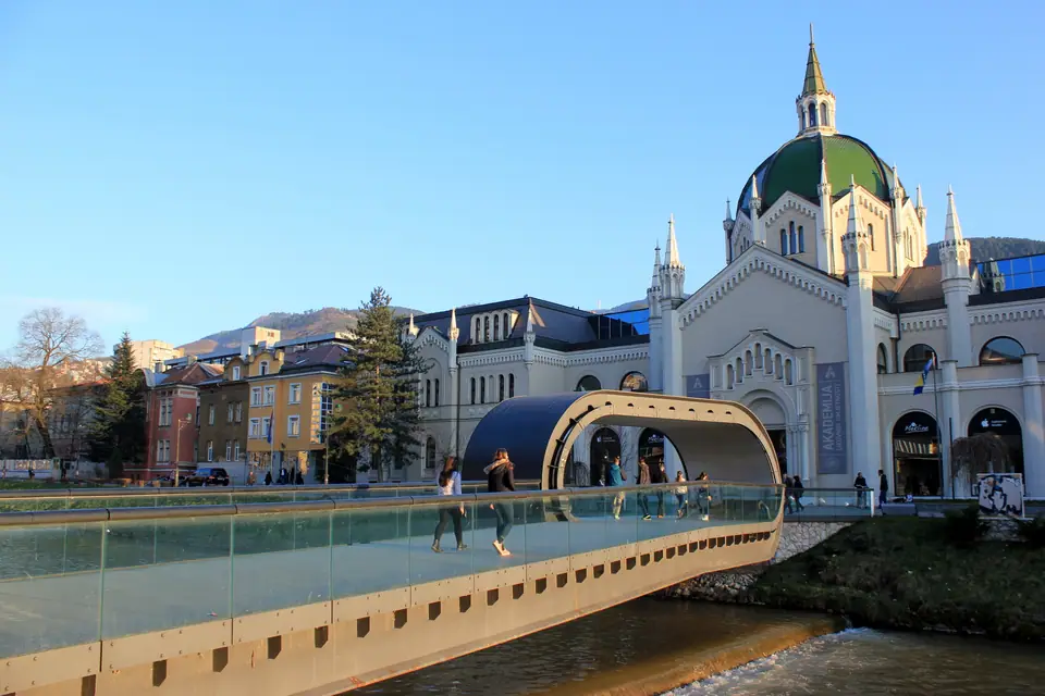
Cross the Miljacka toward Bistrik to view the ornate Moorish-Revival Ashkenazi Synagogue, completed by architect Karel Parik in 1902. Back inside Old Town stands the 16th-century Old Sephardic Synagogue, now housing Sarajevo's Jewish Museum. Active places of worship welcome respectful guests outside prayer hours. Cover shoulders and knees before entering mosques, remove shoes at doorway racks and keep voices low.
Memory of 1914, 1984 and the 1992-1996 siege
Three defining twentieth-century chapters sit embedded in daily street corners across town. Beside the northern pier of the Latin Bridge, Archduke Franz Ferdinand and Sophie were shot on 28 June 1914. That street junction houses the Museum of Sarajevo 1878-1918, explaining Habsburg rule without theatrical reconstruction. In February 1984, the city hosted the Winter Olympics across Trebevic, Igman, Bjelasnica and Jahorina.
Eight years after Olympic ceremonies ended, residents endured the 1,425-day Siege of Sarajevo from 5 April 1992 to 29 February 1996. Shell damage still shows subtly on sandstone cornices, and preserved supply lines out by the airport mark how households held out. Balance light-hearted café stops with calm visits to city memory sites so both faces of Sarajevo stay clear.
Money, documents and how many days to plan
Bosnia and Herzegovina uses the Convertible Mark (BAM, abbreviated locally as KM). By law, Bosnia's Central Bank pegs the currency strictly to the euro at 1.95583 BAM per 1 EUR. Coins circulate in 5, 10, 20 and 50 feninga plus 1, 2 and 5 KM pieces. Banknotes come in 10, 20, 50, 100 and 200 KM in both Federation and Republika Srpska print designs, and both versions remain legal tender nationwide.
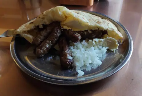
Hotels, larger shops and modern dining rooms accept bank cards reliably. Daily street errands still run heavily on KM cash in small notes and coins. Keep change ready before boarding trams, visiting traditional cevabdzinicas, browsing Bascarsija workshops or hiring metered taxis.
- Two days: Walk Ottoman Bascarsija, Ferhadija, Latin Bridge and Vijecnica, then ride up Trebevic or visit the Tunnel of Hope.
- Three days: Add downtown war-memory museums, the 1888 National Museum and unhurried coffee stops along the Miljacka riverfront.
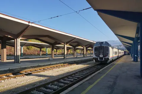
- Four or more days: Take the scenic canyon train south to Mostar or explore Vrelo Bosne springs and Olympic plateaus.
Border rules, entry stamps and police registration
Bosnia and Herzegovina sits outside the European Union and the Schengen zone. British and many European travellers enter visa-free for up to 90 days in any 180-day period. Passports must be issued within ten years of arrival and hold at least 90 days validity past planned departure. Verify that border guards stamp your passport on both entry and exit when crossing overland from neighbouring countries.
Visitors booked into private flats rather than registered hotels must ensure hosts submit mandatory police registration within 72 hours of arrival. When heading onto hillside slopes like Trebevic, keep strictly to paved roads, demined trails and the concrete bobsleigh chute due to legacy landmine caution. Check airport and rail arrivals next to map your route into the valley.
Where it is
- 1Sarajevo
- Sarajevo International Airport (SJJ) · about 7 km from Sarajevo in a straight line
- Directions in Google Maps
Stations and taxi ranks: OpenStreetMap. Airports: OurAirports. Distances are in a straight line.
Traveller tips
Real advice from people who have been to Sarajevo. Every tip is read by our team before it goes live.
No tips yet. Been here? Yours could be the first.
Thank you! Your tip will appear here after a quick review.
More in Sarajevo
Continue exploring Sarajevo with related neighbourhood, food, and planning guides