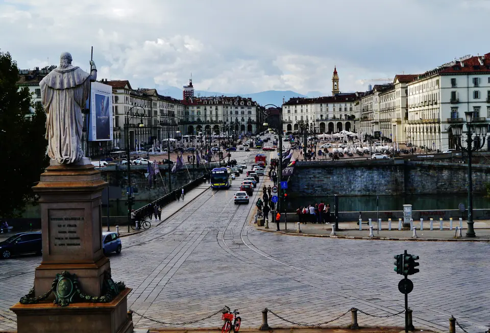
Photo: Zairon · CC BY-SA 4.0
Turin Orientation: Royal Squares, Porticoes & Alps Backdrop
Orientation across Turin Roman blocks, Savoy avenues, 18 km of sheltered porticoes, local transit and surrounding Alpine geography.
Turin announces its geography the moment an avenue clears north-west and snow ridges appear behind tiled roofs. Roughly 855,654 residents live across a municipal area of 130.01 square kilometres where the Po Valley meets the Piedmontese Alps. Unlike Italy's tangled hilltop towns, central Turin reads like an architectural ruler laid flat beside the River Po.
Where the Alps meet four Piedmont rivers
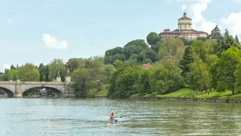
Four waterways cross Turin inside its municipal boundaries. The broad Po curves north beneath the Collina Torinese hills, while the Dora Riparia joins it just north of the historic core. The Stura di Lanzo and Sangone cross outer northern and southern neighbourhoods. East of the Po, wooded slopes rise abruptly to Monte dei Cappuccini and the 672-metre Superga ridge.
Clear fronts after rain bring the Western Alps into sharp focus at the end of nearly every straight avenue. This mountain rim shapes seasonal weather swings charted in our seasonal guide to Turin. Cold winter air settles across the valley floor between November and February. Warm July afternoons often spark sudden late-day thunderstorms along surrounding peaks.
From Roman castrum to unified Italian capital
Turin's straight street pattern started around 28 BC when Roman engineers laid out Julia Augusta Taurinorum in neat rectangular blocks. Those exact stone alignments still govern the Quadrilatero Romano north-west of Piazza Castello. When the House of Savoy transferred its ducal capital across the Alps in 1563, court architects systematically extended the Roman grid.
Masters including Ascanio Vitozzi, Carlo di Castellamonte, Guarino Guarini and Filippo Juvarra framed wide ceremonial squares in uniform brickwork and pale limestone. Between 1861 and 1865, Turin served as capital of the newly unified Kingdom of Italy, leaving parliamentary chambers and ministerial facades scattered through the centre. Industrial growth followed in 1899 with Fiat's founding, shifting modern factories southwards to Lingotto and Mirafiori.
Reading Turin by squares and long arcades
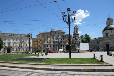
Nearly every downtown walk hinges on Piazza Castello, home to the medieval-and-Baroque Palazzo Madama and Royal Museums. Three principal axes radiate cleanly out from this central square:
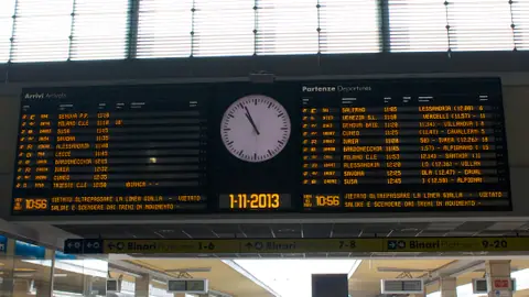
- Via Roma southwards: runs past Piazza San Carlo and its twin Baroque churches straight to Porta Nuova station in around 15 minutes.
- Via Po south-east: slices diagonally from Piazza Castello down to spacious Piazza Vittorio Veneto on the Po riverbank in under 15 minutes.
- Via Garibaldi westwards: carries pedestrians along the ancient Roman decumanus corridor towards Piazza Statuto and Porta Susa.
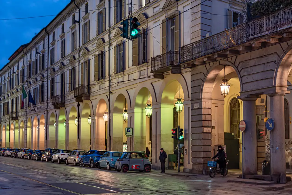
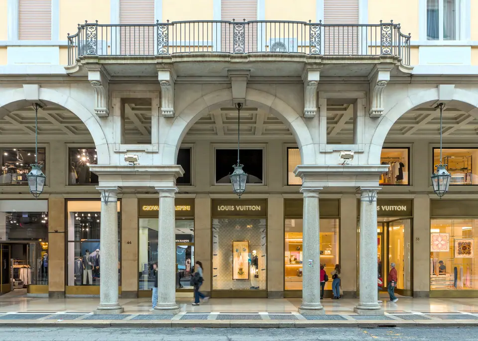
More than 18 kilometres of arched stone porticoes flank these avenues, including over 12 kilometres in continuous sheltered runs. Rainy spring afternoons and bright July heat rarely stall a city walk when stone arcades link hotel doors, bookshops and historic coffee rooms. Pedestrianised side streets such as Via Lagrange and Via Carlo Alberto expand walking comfort even further between Piazza Castello and Corso Vittorio Emanuele II.
Pockets of quiet beyond the grand avenues
Step one block behind Via Roma or Via Po and formal symmetry softens into ochre courtyards and quiet neighbourhood squares. Piazza Carlo Emanuele II, locally called Piazza Carlina, sets restored seventeenth-century townhouses five minutes east of the Museo Egizio. North-east of the Mole Antonelliana, Vanchiglia shifts into a lived-in university quarter stretching towards the Dora Riparia.
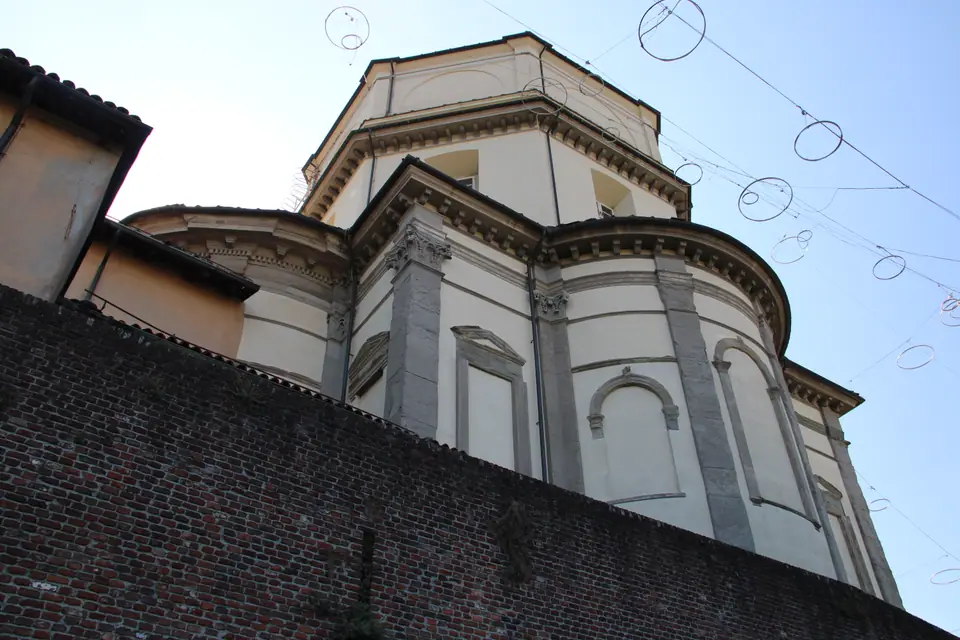
Southern routes follow the riverside lawns of Valentino Park towards the Lingotto conversion and MAUTO. Across the Po, Borgo Po's leafy slopes climb past Gran Madre di Dio up to Santa Maria al Monte dei Cappuccini. Standing roughly 50 metres above the river bank, its terrace frames the Po bend, Mole spire and Alpine crest in one wide sweep.
Pacing your walks and museum passes
Compact distances keep most central mornings completely on foot unless heading south to Lingotto or north-west towards Porta Susa and Venaria Reale. Driverless Metro Line 1 connects key rail hubs and southern attractions beneath Corso Vittorio Emanuele II and Via Nizza. Streetcars and urban buses fill gaps across Piazza Castello and Vanchiglia.
Travellers planning four or more civic and royal museum entries should compare the Torino+Piemonte Card against single tickets at Piazza Castello tourist offices. Note that the standard card covers museum entry rather than public transport. Cardholders qualify for discounted multi-day GTT transit tickets sold separately at tourist information desks.
Confirm weekly museum closing days before mapping out Monday or Tuesday routes, since state and municipal institutions stagger maintenance days across the week. For quick cross-town rides without queueing at machines, tap contactless bank cards directly on green metro gates and tram readers.
Practical city etiquette and street navigation
Turin keeps a notably calm, unhurried pace compared with busier port cities. Dress respectfully when entering working churches such as the Duomo, and greet shopkeepers politely on entry. In traditional cafes, standing at the marble espresso bar carries a lower tariff than taking table service beneath crystal chandeliers.
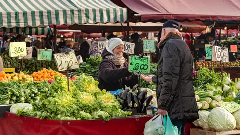
Around major railway stations and market crowds at Porta Palazzo, keep everyday care over wallets, phones and bags. Drivers arriving from regional motorways should check municipal ZTL restricted-traffic camera hours before turning into central blocks. British and other non-EU visitors must confirm Schengen passport validity rules before departure.
Connecting Turin to Piedmont and neighbouring hubs
High-speed rail lines connect Turin cleanly across northern Italy and western Europe. Express trains link Porta Nuova and Porta Susa east to Milan in under an hour and continue smoothly to Bologna and Venice. Westbound trains climb past Susa into Savoy and Paris, letting Piedmont's capital anchor either a focused four-day city break or a broader Alpine-and-Italian journey.
Where it is
- 1Turin
- Turin Airport (TRN) · about 15 km from Turin in a straight line
- Directions in Google Maps
Stations and taxi ranks: OpenStreetMap. Airports: OurAirports. Distances are in a straight line.
Traveller tips
Real advice from people who have been to Turin. Every tip is read by our team before it goes live.
No tips yet. Been here? Yours could be the first.
Thank you! Your tip will appear here after a quick review.
More in Turin
Continue exploring Turin with related neighbourhood, food, and planning guides