


























Getting Around Yekaterinburg: Metro, Trams & Walking Routes
Navigate Yekaterinburg with ease using the 9-station stone-clad Metro line, the 23-route tram network, and the Red Line pedestrian trail.
Central Yekaterinburg is compact, flat along the banks of the Iset River, and laid out on a clear orthogonal street grid established in the eighteenth century. You can cover virtually every sight around Plotinka, the City Pond, Voznesenskaya Hill, and Lenin Avenue on foot, using the north-south Yekaterinburg Metro and the extensive tram network for longer hops to the railway station, Lake Shartash, or Uralmash.
1. Riding the Yekaterinburg Metro
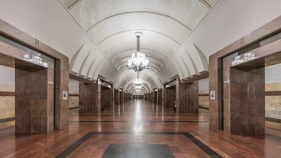
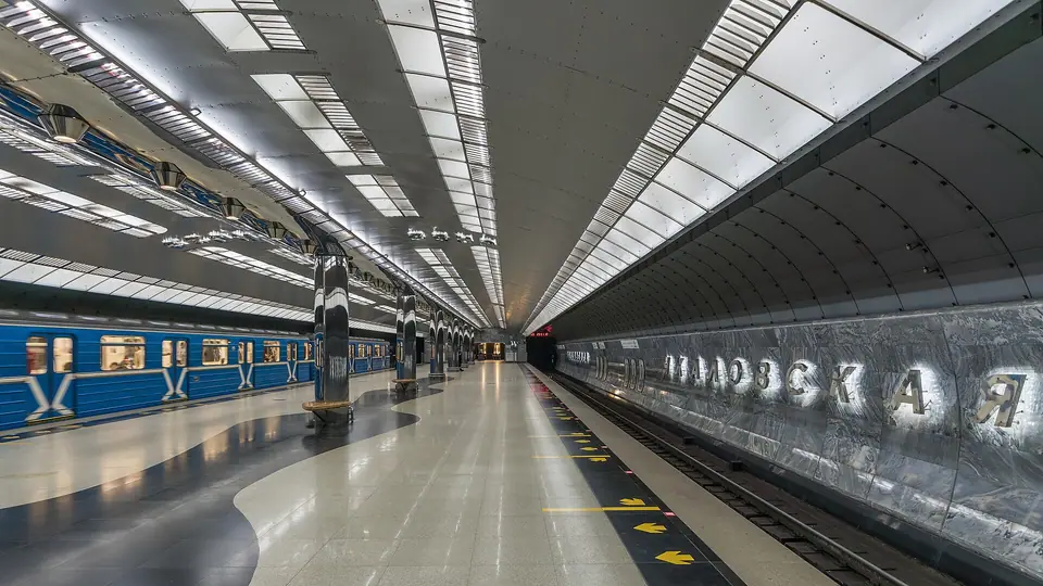
Opened on 26 April 1991 as the sixth metro system in Russia and the thirteenth (and final) underground railway inaugurated in the Soviet Union, the Yekaterinburg Metro operates a single north-to-south line spanning 12.7 kilometres across 9 stations from Prospekt Kosmonavtov in the north to Botanicheskaya in the south. Because the tunnels were bored through solid Ural bedrock, the underground halls are clad in local polished granite, marble, and green serpentinite:
- Uralmash and Prospekt Kosmonavtov: The northern stations serving the Uralmash Constructivist district and the White Tower.
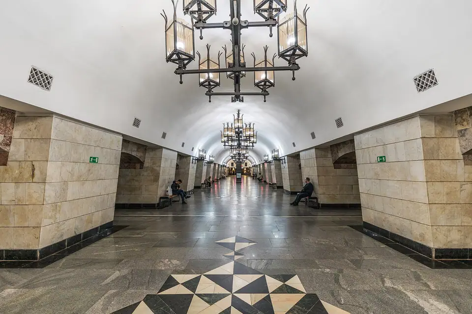
- Uralskaya: Deep pylon station clad in grey Nizhny Tagil marble with wrought-iron chandeliers, connected directly to Yekaterinburg-Passazhirsky Railway Station and the North Bus Terminal.
- Dinamo: Convenient for the northern shore of the City Pond, the Church on the Blood, and the Literary Quarter.
- Ploshchad 1905 Goda: The main central stop right off Lenin Avenue, Vaynera Street, and Plotinka.
- Geologicheskaya and Chkalovskaya: Serving the Yekaterinburg Circus (at Geologicheskaya, decorated with Florentine mineral mosaics of the Earth's crust) and the South Bus Terminal (at Chkalovskaya, designed in 2012 like the fuselage of Valery Chkalov's Tupolev ANT-25 aircraft).
2. The Yekaterinburg Tram Network
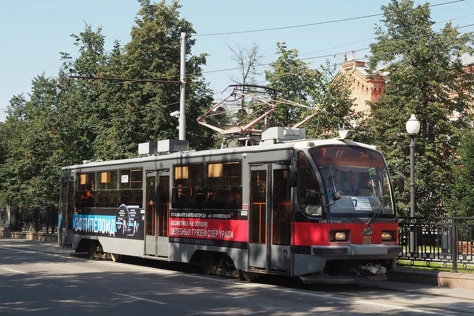
Inaugurated on 7 November 1929, the Yekaterinburg tramway is the third-largest tram network in Russia, operating 23 routes served by 3 depots and 439 cars, including classic round-bodied Czech Tatra T3 trams and locally built Uraltransmash cars. Trams glide down the centre of Lenin Avenue across Kirov Square, Plotinka, and 1905 Square, as well as out toward Lake Shartash.
3. Contactless Payment and the Red Line Walking Trail
Both the Metro turnstiles and onboard conductors on trams, buses, and trolleybuses accept Russian-issued contactless bank cards as well as the rechargeable municipal Ekarta transport card (foreign Visa and Mastercard cards do not work in Russia, so visitors use Ekarta topped up with cash) (check current tariff options on the official Gorgortrans portal). On sunny days, look down at the pavement around 1905 Square and Plotinka for the painted Red Line (Krasnaya Liniya), a circular 6.5-kilometre pedestrian trail launched by local volunteers in June 2011 that links 35 central landmarks in a continuous loop.
Traveller tips
Real advice from people who have been to Getting Around Yekaterinburg: Metro, Trams & Walking Routes. Every tip is read by our team before it goes live.
No tips yet. Been here? Yours could be the first.
Thank you! Your tip will appear here after a quick review.
More in Yekaterinburg
Continue exploring Yekaterinburg with related neighbourhood, food, and planning guides
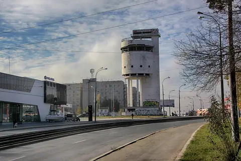
Constructivist Architecture in Yekaterinburg: White Tower & Chekist Town
Yekaterinburg, Russia
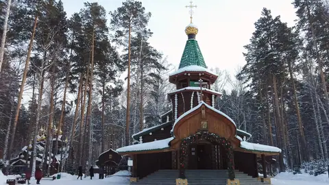
Ganina Yama Monastery & the Europe-Asia Border Near Yekaterinburg
Yekaterinburg, Russia
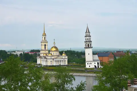
Shartash Stone Tents & Nevyansk Leaning Tower: Day Trips from Yekaterinburg
Yekaterinburg, Russia

What to Eat in Yekaterinburg: Ural Pelmeni, Shangi & Local Dishes
Yekaterinburg, Russia
