


























Yekaterinburg: Everything You Need to Know
Plan your visit to Yekaterinburg with key history along the Iset River, central districts around Plotinka and the City Pond, and transport links.
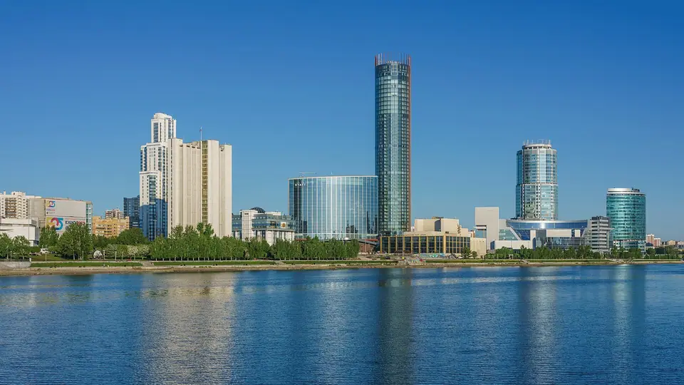
Set on the eastern slope of the Middle Urals along the banks of the 606-kilometre Iset River, Yekaterinburg is the administrative centre of Sverdlovsk Oblast and the Ural Federal District. Founded on 7 (18) November 1723 by historian and statesman Vasily Tatishchev and military engineer Georg Wilhelm de Gennin, the settlement began as an iron-smelting fortress-plant named in honour of Empress Catherine I, consort of Emperor Peter the Great. In 1781, Empress Catherine II granted Yekaterinburg official town status along the great Siberian Route, and from 14 October 1924 until 23 September 1991 the city bore the Soviet name Sverdlovsk.
How the City Is Laid Out
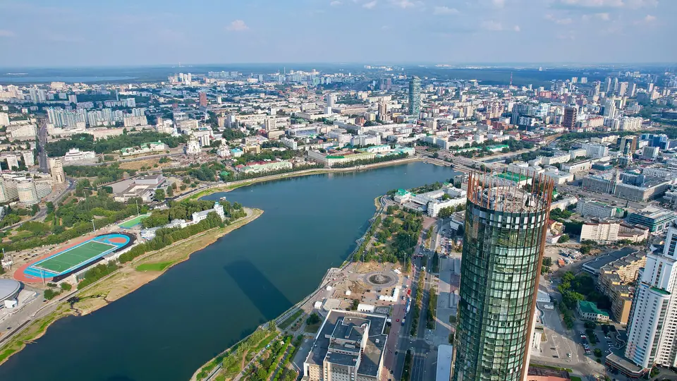
Central Yekaterinburg is organised around the intersection of two axes: the north-to-south course of the Iset River, which is dammed in the middle of town to form the broad City Pond (Gorodskoy Prud), and the east-to-west boulevard of Lenin Avenue, which runs for 4,600 metres across the dam. Virtually every major museum and architectural landmark can be reached on foot from this central crossroads:
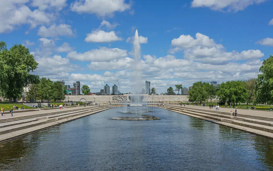
- Plotinka and Historic Square: The 1723 larch-and-granite dam (Plotinka) and the 8-hectare park of former eighteenth-century workshops, museums, and the Ural Mineral Garden directly below the City Pond spillway.
- Voznesenskaya Hill and Holy Quarter: Rising north of Lenin Avenue along Karl Liebknecht Street, home to the five-domed Church on the Blood, the Literary Quarter, and the neoclassical Rastorguyev-Kharitonov Palace and Garden.
- Yekaterinburg-City and Western Embankment: The modern glass quarter on the western shore of the City Pond, anchored by the Boris Yeltsin Presidential Center and 209-metre Iset Tower.
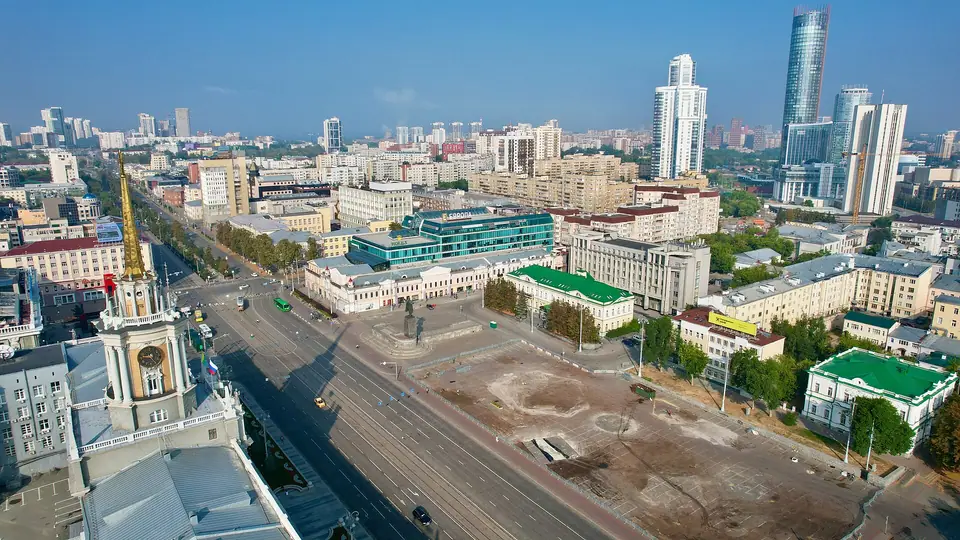
- 1905 Square and Vaynera Street: The main civic square west of Plotinka and the pedestrianised shopping and sculpture boulevard known as the Ural Arbat.
Why Visit Yekaterinburg
Few Russian cities display such sharp architectural contrasts within a short riverside walk. On the eastern embankment of the City Pond stands the green, white, and terracotta 1866 eclectic facade of Sevastyanov's House, while a few blocks east rises the 54-storey Vysotsky skyscraper with its 52nd-floor open-air viewing deck at 186 metres. Between them, the 1920s and 1930s left behind landmark Soviet Constructivist complexes including the 14-building Gorodok Chekistov and the reinforced-concrete White Tower in Uralmash.
Practical Planning
Most travellers arrive through Koltsovo International Airport (SVX), 16 kilometres southeast of the centre, or on Trans-Siberian trains into Yekaterinburg-Passazhirsky Station. Check our 3-day Yekaterinburg itinerary and neighbourhood accommodation guide to plan your stay.
Traveller tips
Real advice from people who have been to Yekaterinburg: Everything You Need to Know. Every tip is read by our team before it goes live.
No tips yet. Been here? Yours could be the first.
Thank you! Your tip will appear here after a quick review.
More in Yekaterinburg
Continue exploring Yekaterinburg with related neighbourhood, food, and planning guides
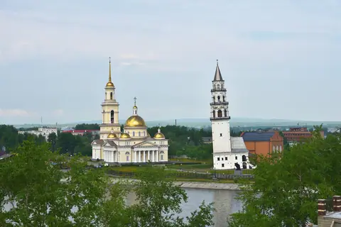
Shartash Stone Tents & Nevyansk Leaning Tower: Day Trips from Yekaterinburg
Yekaterinburg, Russia
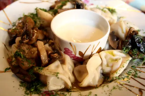
What to Eat in Yekaterinburg: Ural Pelmeni, Shangi & Local Dishes
Yekaterinburg, Russia
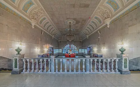
How to Get to Yekaterinburg: Koltsovo Airport (SVX) & Trans-Siberian Trains
Yekaterinburg, Russia
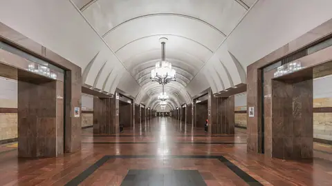
Getting Around Yekaterinburg: Metro, Trams & Walking Routes
Yekaterinburg, Russia
