Photo by Geio Tischler on Unsplash
Best Time to Visit Bali: Seasons, Weather and Festival Calendar
Plan your Bali journey across dry and wet seasons with verified Open-Meteo climate data, surf window advice, festival timelines, and essential Nyepi airport details.
Choosing the best time to visit Bali depends on balancing rainfall, regional humidity, ocean conditions, and major cultural observances. The Indonesian Ministry of Tourism classifies the climate as tropical, with coastal plains averaging 28°C, inland and mountain areas averaging 26 degrees, and higher mountain regions averaging 23 degrees. Relative humidity consistently ranges between 70% and 90%. Because Bali sits eight degrees south of the equator, daylight hours remain steady across the year. The primary variable governing travel plans is precipitation rather than shifting seasonal temperatures.
For most travellers seeking outdoor adventures, trekking, or coastal relaxation, May, June, and September represent the optimal travel windows. During these shoulder months, the island experiences lower rainfall totals and reduced crowds compared to the European summer holidays. Reviewing our Bali Travel Guide: What to Know Before You Go will help you align island itineraries with local transport and regional arrival requirements.
Dry Season Conditions from April to October
Official meteorological records from Indonesia's Meteorology, Climatology, and Geophysical Agency (BMKG) identify April through October as the dry season across Bali and Java. Long-term Open-Meteo data recorded between 2015 and 2024 shows rainfall dropping sharply from 181 millimetres across 23.3 wet days in April to 106 millimetres in May, reaching the year's lowest precipitation in August at 57 millimetres across 18.5 wet days. High temperatures remain steady between 27.0 and 29.2°C along coastal lowlands.
Dry weather brings offshore trade winds that groom classic surf breaks across the western shoreline and the Bukit peninsula. Hikers tackling early morning ascents of Mount Batur encounter clearer visibility and firmer volcanic trails. Australian school breaks in July beside European holidays in August make midsummer the busiest period on the island. Accommodation across southern tourist zones books out months ahead during these peak mid-year weeks. If your trip centres on coastal exploration, consult our Bali Beaches Guide: Where to Swim, Surf and Watch the Sunset for location-specific seasonal sea conditions.
Wet Season Dynamics from November to March
The tropical wet season runs from November to March, bringing higher humidity and recurrent afternoon monsoonal downpours. Open-Meteo figures show rainfall peaking in February at 339 millimetres across 26.3 wet days, followed closely by January with 309 millimetres across 27.3 wet days and December with 297 millimetres across 27.5 wet days. Daily maximum temperatures average between 28.8 and 29.4°C during this period.
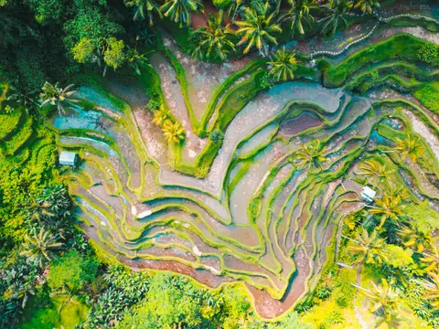
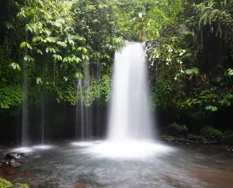
Rain rarely falls continuously from dawn to dusk. A typical wet season day begins with bright sunshine and climbing humidity before heavy afternoon storms develop inland and track towards the coast. These sudden downpours usually clear within one or two hours, leaving cooler evening air. Highland rice terraces around Ubud and Jatiluwih take on vivid emerald shades, and inland waterfalls flow at full volume. Travellers should note that western coastal shorelines from Kuta to Seminyak often accumulate marine debris washed ashore by monsoon winds between December and March, whereas eastern beaches remain clearer.
Annual Climate Patterns by Season
| Seasonal Period | Typical Coastal Daytime Range | Open-Meteo Monthly Rainfall Range | Wet Days per Month | Primary Travel Advantages and Cautions |
|---|---|---|---|---|
| Early Dry (April to June) | 27.9°C to 29.1°C high / 23.9°C to 24.5°C low | 94 mm to 181 mm | 18.1 to 23.3 days | Lush green landscapes, improving surf conditions, manageable crowds before peak summer. |
| Peak Dry (July to August) | 27.0°C to 27.1°C high / 22.7°C to 23.3°C low | 57 mm to 82 mm | 16.9 to 18.5 days | Lowest annual rainfall, coolest nights, heavy tourist traffic, and premium hotel rates. |
| Late Dry Shoulder (September to October) | 27.9°C to 29.0°C high / 23.0°C to 23.5°C low | 73 mm to 104 mm | 17.9 to 18.3 days | Warm sea temperatures, thinning crowds after early September, gradual increase in humidity. |
| Monsoon Season (November to March) | 28.8°C to 29.4°C high / 24.1°C to 24.5°C low | 204 mm to 339 mm | 24.2 to 27.5 days | Lively rice fields, quiet temples, heavy afternoon storms, rougher inter-island sea crossings. |
Microclimates Across Highlands and Volcanoes
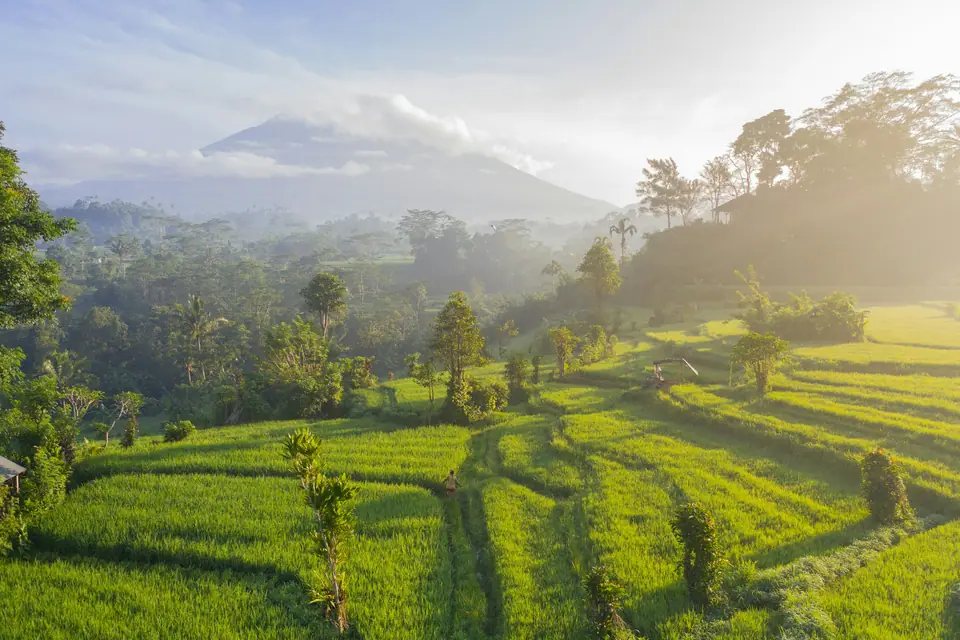
Bali possesses varied topographies that create sharp microclimatic differences across short travel distances. While coastal tourist hubs like Seminyak and Sanur remain warm day and night, the central volcanic chain features summits rising over 3,000 metres above sea level. Mount Agung reaches 3,148 metres, and its surrounding slopes experience considerably lower temperatures and heavier localized rainfall than the coast. Besakih Temple, Bali's largest temple complex situated on the slopes of Mount Agung, frequently receives mist and afternoon cloud cover even during dry months.
In highland settlements such as Bedugul and Kintamani, daytime highs hover around 23 to 26°C, with evening temperatures dropping low enough to require thermal layers and windproof outerwear. When planning upland treks or cultural visits, consult our dedicated What to Wear in Bali: Temple Etiquette, Climate and Packing Guide to pack appropriately for these distinct elevations.
Cultural Festivals That Impact Travel Logistics
Balinese religious celebrations exert a significant influence on local operating schedules and transport routes. Nyepi, the Balinese Day of Silence, occurs annually in March to mark the start of the Saka new lunar year. For precisely 24 hours, normal daily activities cease completely across the island. Ngurah Rai International Airport closes all standard flight operations, street traffic is prohibited, and residents and visitors must stay indoors with lighting kept to a minimum.
The evening immediately preceding Nyepi features energetic village processions carrying large papier-mache effigies known as ogoh-ogoh through public crossroads to banish negative spirits. Travellers who arrange their arrival at least one or two days before Nyepi can observe this profound cultural celebration, but they must plan for restricted hotel amenities and closed shops during the full silence period.
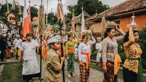
Other critical celebrations follow the 210-day Balinese pawukon calendar. Galungan commemorates the triumph of dharma over adharma, followed ten days later by Kuningan. During this period, local communities erect tall, decorated bamboo poles called penjor along every thoroughfare. Family ceremonies gather at village shrines and mountain temples, generating colourful processions. While local shops and family-run warungs may pause operations during festival peaks, public services continue running. Preparing for changing rainfall patterns and festival dates ensures an organized journey across the diverse regions of Bali.
Where it is
- 1Central Bali
- Denpasar I Gusti Ngurah Rai International Airport (DPS) · about 38 km from the central Bali in a straight line
- Directions in Google Maps
Stations and taxi ranks: OpenStreetMap. Airports: OurAirports. Distances are in a straight line.
Traveller tips
Real advice from people who have been to Bali. Every tip is read by our team before it goes live.
No tips yet. Been here? Yours could be the first.
Thank you! Your tip will appear here after a quick review.
More in Bali
Continue exploring Bali with related neighbourhood, food, and planning guides