


























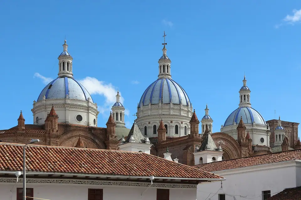
Cuenca: Four Rivers, UNESCO Colonial Grid & El Barranco Layout
Plan your visit to Cuenca, Ecuador: understand how the UNESCO colonial damero grid around Parque Calderón, the hanging houses of El Barranco on the Río Tomebamba, and El Ejido fit together.
Unlike coastal Guayaquil or sprawling Quito, Santa Ana de los Ríos de Cuenca is a remarkably compact, human-scale Andean city whose entire historic core can be crossed on foot in twenty-five minutes. Built on a natural conglomerate stone terrace above the northern bank of the Río Tomebamba, the city blends 16th-century Spanish convent walls and Inca foundation stones with late-19th-century French Republican facades imported during the cinchona-bark (quinine) and straw-hat booms.
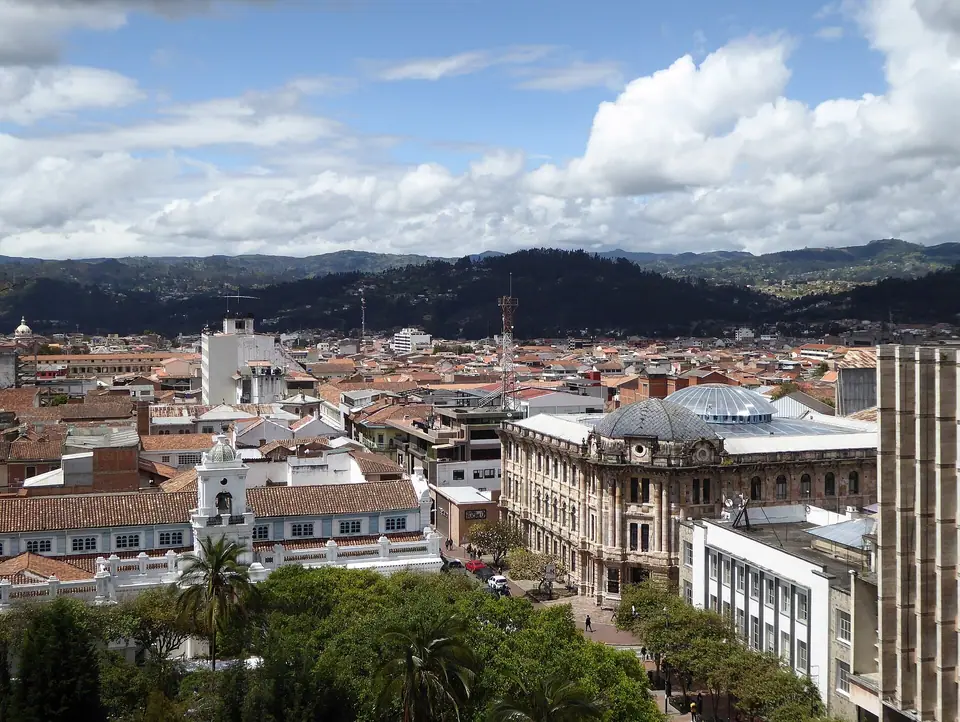
How Cuenca Is Organised (Three Levels from North to South)
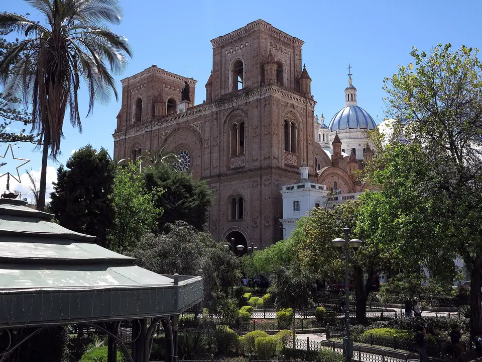
- The Upper Colonial Grid (Centro Histórico around Parque Calderón): Laid out in strict checkerboards between Calle Gran Colombia (along which the red electric Tranvía de Cuenca runs) in the north and Calle Larga in the south. At its exact centre sits pine-shaded Parque Abdón Calderón, flanked by both the 1557 Old Cathedral and the 1885 to 1975 New Cathedral, the Plaza de las Flores, and cloistered convents.
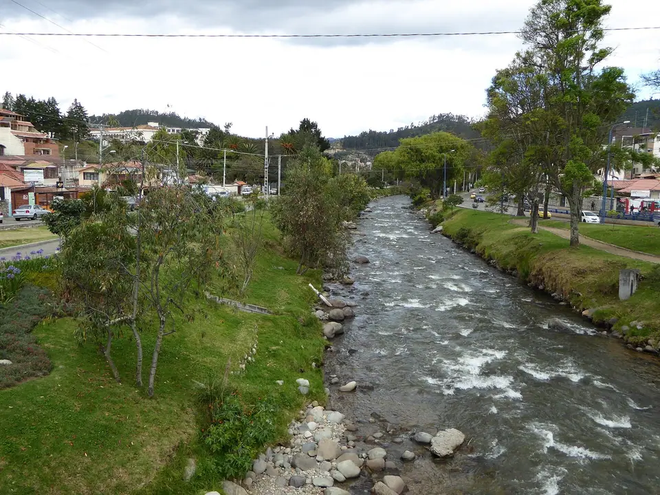
- The River Cliff & Tomebamba Promenade (El Barranco & Pumapungo): Along the southern edge of Calle Larga, the city drops fifteen metres down a natural stone escarpment into the grassy banks of the Río Tomebamba. Here over 120 Republican mansions hang over the water beside brick staircases, the 1840s Puente Roto (Broken Bridge), Toquilla straw hat museums, and the Inca agricultural terraces of Museo Pumapungo.
- El Ejido & Mirador de Turi (South of the River): Across the footbridges over the Tomebamba spreads the green early-20th-century garden suburb of El Ejido (home to the University of Cuenca and tree-lined Avenida Solano), rising south toward the hilltop viewpoint of Mirador de Turi.
Acclimatising to 2,560 Metres
At 2,560 metres above sea level, Cuenca is three hundred metres lower than Quito and offers a gentle, comfortable altitude for acclimatising before hiking above 3,900 metres in Parque Nacional Cajas.
Traveller tips
Real advice from people who have been to Cuenca: Four Rivers, UNESCO Colonial Grid & El Barranco Layout. Every tip is read by our team before it goes live.
No tips yet. Been here? Yours could be the first.
Thank you! Your tip will appear here after a quick review.
More in Cuenca
Continue exploring Cuenca with related neighbourhood, food, and planning guides
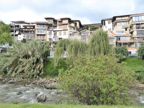
El Barranco, Río Tomebamba, Puente Roto (Broken Bridge) & Calle Larga Guide
Cuenca, Ecuador
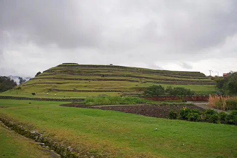
Museo Pumapungo (Inca Tomebamba Ruins) & Museo de las Conceptas Guide, Cuenca
Cuenca, Ecuador

Toquilla Straw Hats ('Panama Hats') in Cuenca: UNESCO Craft, Workshops & Museums
Cuenca, Ecuador
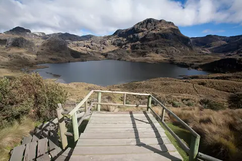
Parque Nacional Cajas Day Trip from Cuenca: Laguna Toreadora & Polylepis Forests
Cuenca, Ecuador
