


























Isla Santay, Bosque Protector Cerro Blanco & Manglares Churute Eco-Guide
Explore Guayaquil's three protected natural reserves: walk or cycle the 840m bridge across the Río Guayas to Isla Santay, hike Cerro Blanco dry forest for macaws, and boat through Manglares Churute.
Few major port cities in South America sit directly beside three distinct tropical ecosystems. Within minutes of downtown Guayaquil, you can cross a river footbridge onto a 2,200-hectare Ramsar wetland island, hike into a hillside dry forest where critically endangered Great Green Macaws nest, or glide by motorised canoe through fifty thousand hectares of estuary mangroves.
1. Isla Santay National Recreation Area (840m Footbridge from Downtown)
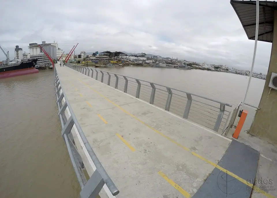
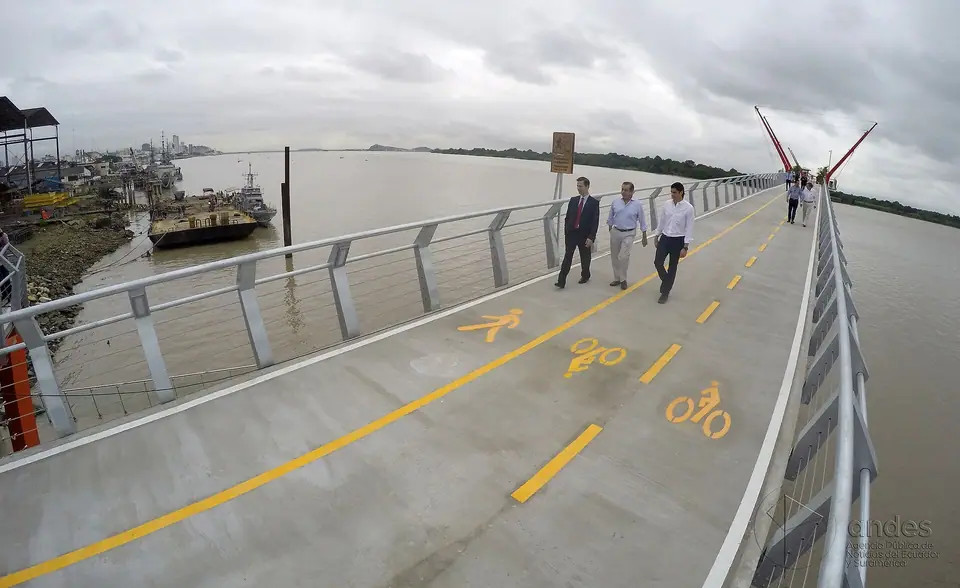
- Walking or Cycling Across the Río Guayas: Anchored in the middle of the Río Guayas just 800 metres across the water from the southern end of Malecón 2000, the 2,179-hectare Isla Santay was declared a Ramsar Wetland of International Importance in 2000. Since 2014, visitors can walk or ride a bicycle directly onto the island via the 840-metre pedestrian bridge starting at the foot of Calle El Oro (which features a central bascule span that lifts to let river ships pass).
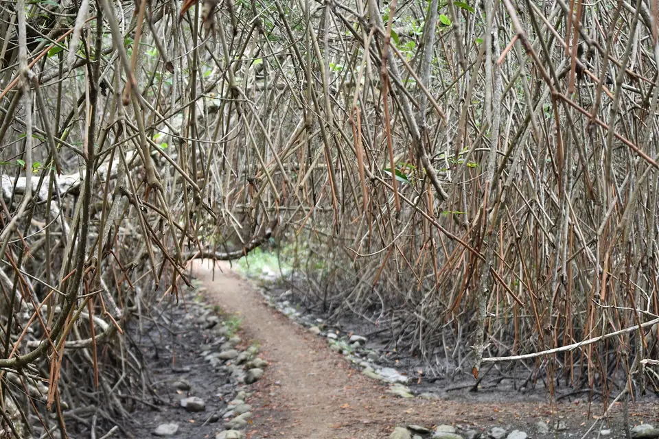
- Elevated Mangrove Trails & the Solar Eco-Village: Once on the island, a flat 1.8-kilometre raised composite boardwalk threads through five species of red, black, and white mangroves teeming with roseate spoonbills, white ibises, ospreys, and tree boas to the solar-powered Santay Eco-Village, where the 56 resident families operate a community dining hall (serving grilled mullet and fried plantains) beside a rescue lagoon for endangered American coast crocodiles (Crocodylus acutus).
2. Bosque Protector Cerro Blanco & Reserva Ecológica Manglares Churute
- Bosque Protector Cerro Blanco (16 km West on Vía a la Costa): Just twenty-five minutes west of downtown along the highway toward Salinas rises the 6,078-hectare Cerro Blanco Protected Forest, preserving one of the last intact remnants of Ecuador's coastal tropical dry forest (bosque seco ecuatorial) on the Chongón-Colonche hills. Managed by the Pro-Bosque Foundation (book guided trail walks in advance on their official portal), its giant kapok (ceibo) trees shelter loud troops of mantled howler monkeys (Alouatta palliata) and over 220 bird species, including Guayaquil's official avian emblem, the critically endangered Great Green Macaw (Ara ambiguus guayaquilensis / Papagayo de Guayaquil).
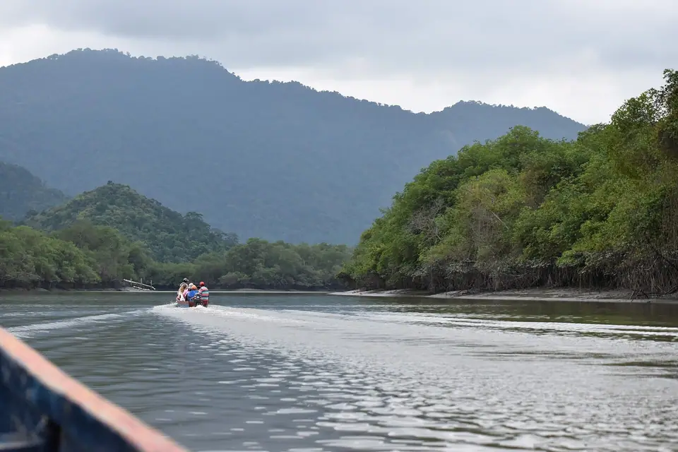
- Reserva Ecológica Manglares Churute (45 km South-East on the Naranjal Highway): Combining easily with a cacao hacienda visit, this 49,389-hectare reserve combines a boat ride through tidal mangrove channels (spotting red crabs, bottle-nosed dolphins, and ospreys) with a forest trail for howler monkeys and a freshwater canoe paddle on Laguna El Canclón, named after the prehistoric-looking horned screamer bird (Anhima cornuta); check official Ministry of Environment (MAATE) visiting hours before departing.
Traveller tips
Real advice from people who have been to Isla Santay, Bosque Protector Cerro Blanco & Manglares Churute Eco-Guide. Every tip is read by our team before it goes live.
No tips yet. Been here? Yours could be the first.
Thank you! Your tip will appear here after a quick review.
More in Guayaquil
Continue exploring Guayaquil with related neighbourhood, food, and planning guides
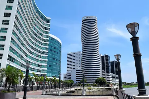
Where to Stay in Guayaquil: Puerto Santa Ana, Malecón 2000, Kennedy Norte & Samborondón
Guayaquil, Ecuador
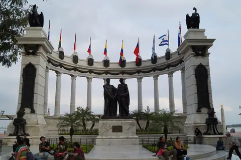
3 Days in Guayaquil Itinerary: Malecón 2000, Las Peñas, Parque Histórico & Cacao
Guayaquil, Ecuador
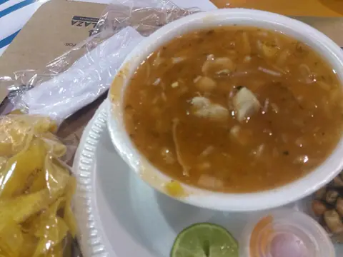
What to Eat in Guayaquil: Encebollado, Mangrove Crabs (Cangrejo), Bolón de Verde & Ceviche
Guayaquil, Ecuador
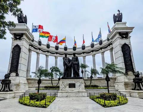
Malecón 2000 (Malecón Simón Bolívar), La Rotonda & MAAC Guide, Guayaquil
Guayaquil, Ecuador
