


























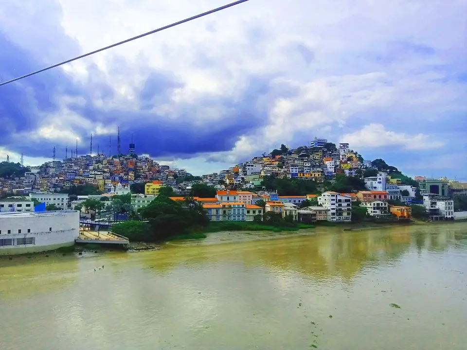
Guayaquil: Río Guayas Layout, Estero Salado & Galápagos Hub
Plan your visit to Guayaquil, Ecuador: understand how the Río Guayas waterfront (Malecón 2000, Las Peñas & Puerto Santa Ana), downtown Bulevar 9 de Octubre, Estero Salado, and Samborondón fit together.
Framed by two completely different bodies of water, the wide, silt-rich freshwater current of the Río Guayas on the east and the winding mangrove tidal channels of the Estero Salado on the west, Guayaquil is far more than a transit stop on the way to the Galápagos Islands. Once you understand how its historic riverfront spine connects with its northern hills and island suburbs, you can easily explore its highlights in two or three days.
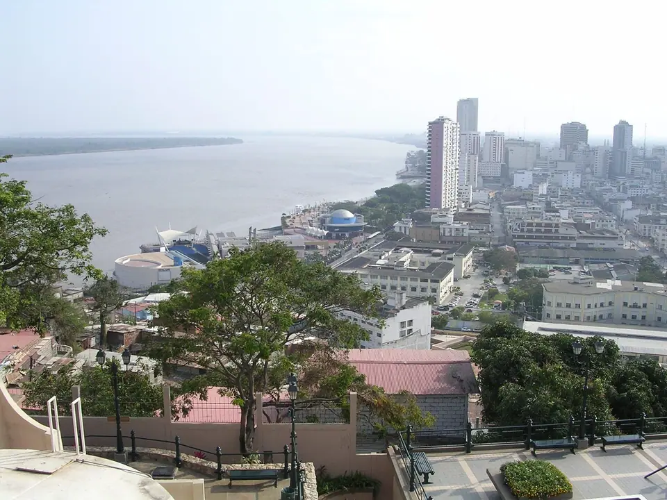
How Guayaquil Is Organised (Five Key Areas for Visitors)
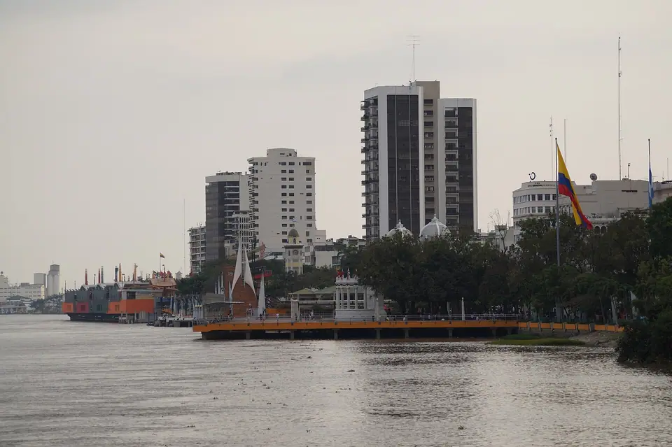
- The Río Guayas Waterfront (Malecón 2000, Las Peñas & Puerto Santa Ana): Running for 2.5 kilometres along the western bank of the river, Malecón Simón Bolívar (Malecón 2000) links the iron-and-glass 1908 Crystal Palace in the south with the 1938 Rotonda monument, the 57-metre La Perla Ferris wheel, and the pre-Columbian galleries of the MAAC in the north, leading directly into the wooden houses of Barrio Las Peñas, Cerro Santa Ana, and modern Puerto Santa Ana.
- Centro (Bulevar 9 de Octubre & Parque Seminario): Extending perpendicular to the river from the Rotonda arch to the Estero Salado, pedestrianised Bulevar 9 de Octubre and nearby Parque Seminario (Iguana Park) and the Neo-Gothic Cathedral form the historic civic core.
- Estero Salado & Urdesa (West of the Centre): Along the saltwater estuary channels sit the boardwalks of Malecón del Salado and the hilly dining neighbourhood of Urdesa, famous for its traditional crab restaurants (cangrejales).
- Samborondón & Kennedy Norte (North): Five kilometres north of downtown sit José Joaquín de Olmedo Airport (GYE) and the hotel district of Kennedy Norte / Ciudad del Río, while across the Río Daule bridge in Samborondón lies the eight-hectare Parque Histórico Guayaquil.
Practical Advice for a Smooth Visit
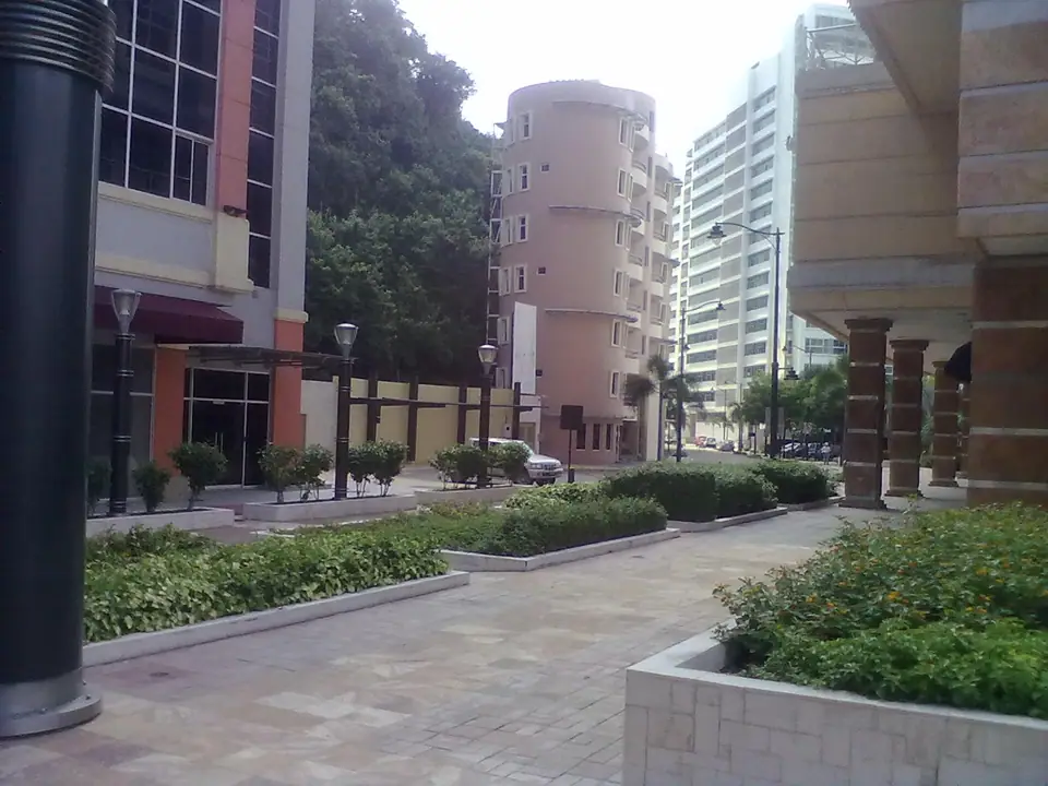
Enjoy walking the fenced, security-patrolled corridors of Malecón 2000, Las Peñas, Cerro Santa Ana, and Puerto Santa Ana on foot by day and early evening, and use registered hotel taxis or ride-hailing apps when moving between different neighbourhoods.
Traveller tips
Real advice from people who have been to Guayaquil: Río Guayas Layout, Estero Salado & Galápagos Hub. Every tip is read by our team before it goes live.
No tips yet. Been here? Yours could be the first.
Thank you! Your tip will appear here after a quick review.
More in Guayaquil
Continue exploring Guayaquil with related neighbourhood, food, and planning guides
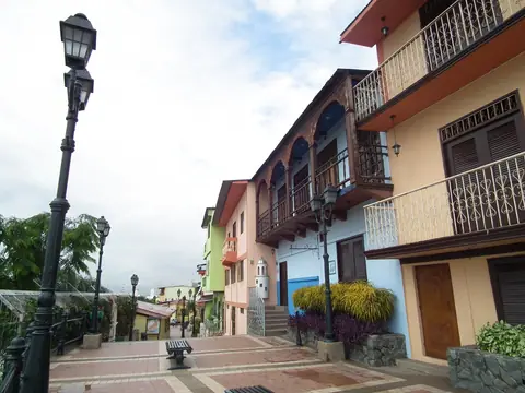
Barrio Las Peñas, 444 Steps & Cerro Santa Ana Lighthouse Guide, Guayaquil
Guayaquil, Ecuador
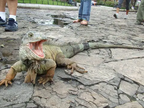
Parque Seminario (Iguana Park) & Metropolitan Cathedral Guide, Guayaquil
Guayaquil, Ecuador
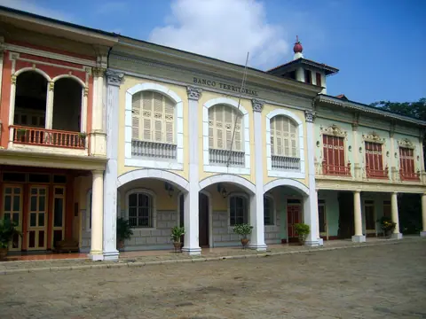
Parque Histórico Guayaquil (Samborondón) & Puerto Santa Ana Guide
Guayaquil, Ecuador
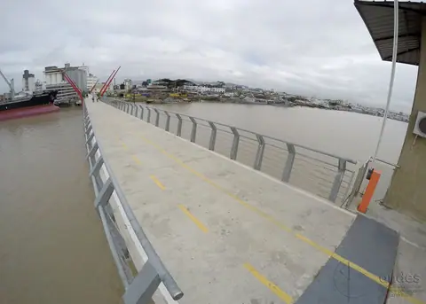
Isla Santay, Bosque Protector Cerro Blanco & Manglares Churute Eco-Guide
Guayaquil, Ecuador
