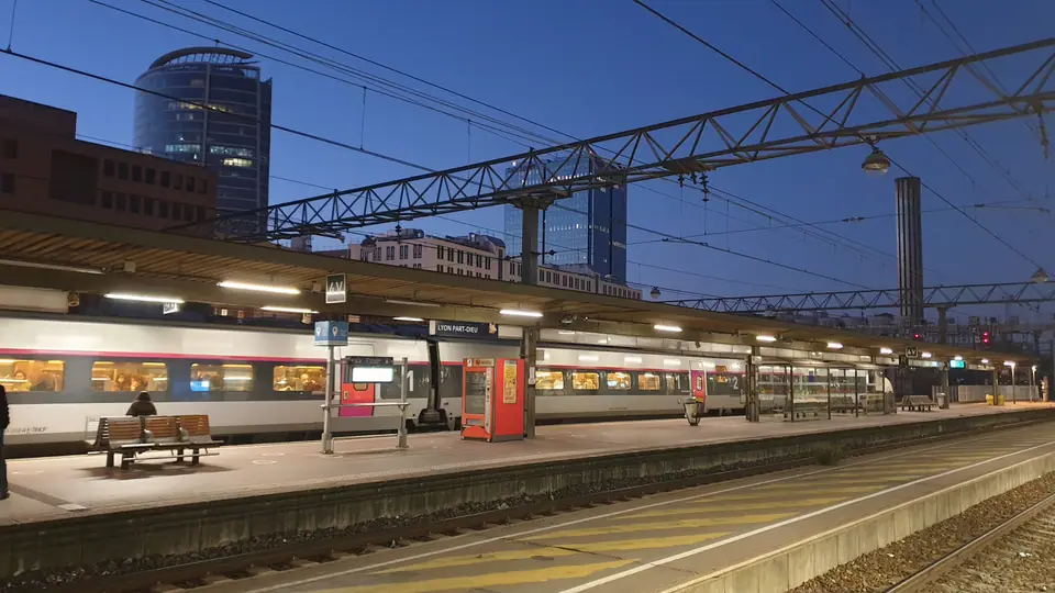
Photo: TCY · CC BY-SA 4.0
How to Get to Lyon
TGV from Paris, the Saint-Exupéry airport tram, four metro lines and two working funiculars.
Five decades of rail expansion sit comfortably atop nineteenth-century hill tracks in Lyon, making car-free travel straightforward from platform to hilltop. High-speed TGV trains connect Paris and southern France into Part-Dieu, while a dedicated express tram links Lyon-Saint-Exupéry Airport directly to central metro stops. Inside town, four underground lines pair cleanly with two working cable funiculars.
Arriving by high-speed TGV rail
France inaugurated its high-speed network along the LGV Sud-Est corridor linking Paris and Lyon on 22 September 1981. Commercial trains started running five days later on 27 September. The corridor stretches across 409 kilometres of dedicated track engineered for 300 km/h service, where a test train reached 380 km/h on 26 February 1981. That alignment brought Paris Gare de Lyon and Lyon Part-Dieu within 425 kilometres by rail, trimming 87 kilometres off the classic 512-kilometre conventional railway.
Mainline TGVs concentrate at Gare de Lyon-Part-Dieu in the third arrondissement, offering rapid metro and tram links east and west. Cross-town Lyon-Perrache sits directly on the central Presqu'île where Metro Line A meets trams T1 and T2. Regional TER trains depart from its platforms toward Geneva, Annecy, Burgundy and Beaujolais. Both stations connect directly into Lyon's riverside cycling lanes and pedestrian walkways along the Rhône.
| Rail benchmark | Verified figure |
|---|---|
| LGV Sud-Est inauguration | 22 September 1981 |
| LGV high-speed corridor length | 409 km |
| Paris Gare de Lyon to Part-Dieu | 425 km (87 km shorter than 512 km classic line) |
| High-speed line design speed | 300 km/h (380 km/h test record, Feb 1981) |
| Airport TGV station opened | 1994 on LGV Rhône-Alpes |
Lyon-Saint-Exupéry Airport and Terminal 1
Situated around 20 kilometres south-east of central Lyon, Lyon-Saint-Exupéry Airport served 10,709,883 passengers in 2025. Traffic climbed 2.4 per cent on 2024 and rose sharply from 8,562,298 flyers in 2013. Originally opened as Lyon Satolas, the airport was renamed in 2000 for local writer and aviator Antoine de Saint-Exupéry.
Travellers flying from spring 2026 onward face one decisive layout update. Terminal 2 closed on 1 April 2026 for multi-year modernisation toward 2029, routing every commercial flight through Terminal 1. From Terminal 1 arrivals, a covered five to seven minute walk reaches Santiago Calatrava's Lyon-Saint-Exupéry TGV station. Opened in 1994, this high-speed rail hall connects Paris with the Mediterranean.
The Rhônexpress airport tram connection
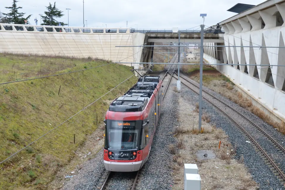
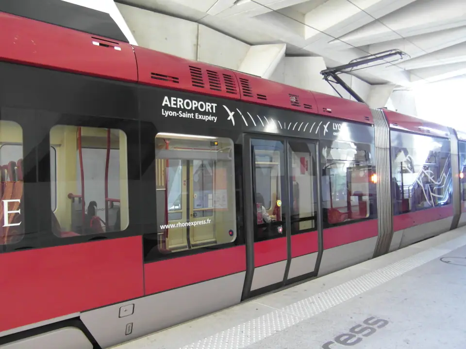
Operating since August 2010, the red Rhônexpress tram-train links the airport rail hall with Gare de Lyon-Part-Dieu daily from before dawn until midnight. Journeys take roughly 30 minutes, with daytime departures running every 15 to 30 minutes. Intermediate stops at Meyzieu Z.I. and Vaulx-en-Velin La Soie meet eastern tram T3 and Metro Line A. Those interchanges provide a swift shortcut toward Bellecour without crossing Part-Dieu's busy halls. Standard urban TCL tickets and basic Lyon City Card passes exclude Rhônexpress unless bundled at purchase. Always check live timetables on the operator website.
TCL metro lines, trams and current operators
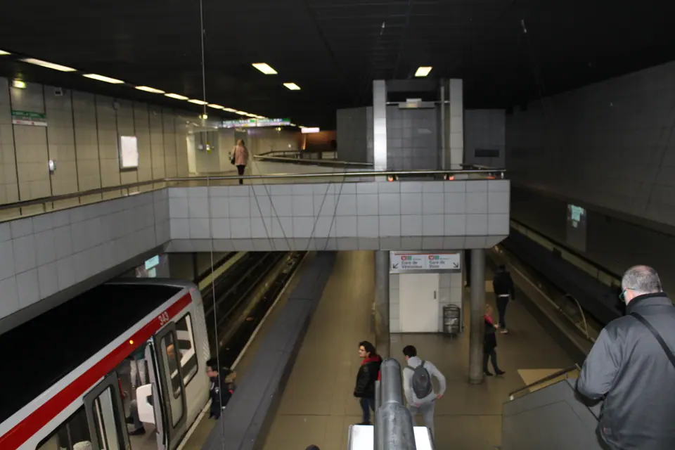
Public authority SYTRAL Mobilités oversees Lyon's TCL network under a split operating structure that started on 1 January 2025. Under these contracts, RATP Dev runs Lyon's four metro lines, trams, both funiculars and Rhônexpress. Keolis operates city buses and trolleybuses under a six-year mandate. Opened on 9 December 1974, the metro grid spans 34.4 kilometres across 42 stations. The system carried roughly 810,000 daily trips in 2025, building on 219 million annual rides in 2019.
| Line | Opened | Route length | Stations | Key character |
|---|---|---|---|---|
| Metro A | 1978 | 9.2 km | 14 | Connects Perrache, Bellecour and eastern districts |
| Metro B | 1978 | 10.1 km | 12 | Links Part-Dieu south via 2023 extension to Saint-Genis-Laval |
| Metro C | 1974 | 2.5 km | 5 | Rack-assisted climb from Hôtel de Ville up Croix-Rousse |
| Metro D | 1991 | 12.6 km | 15 | Automated driverless line connecting Vieux Lyon and Bellecour |
In October 2023, automated Metro Line B stretched 2.4 kilometres south beneath the Rhône to Oullins Centre and Saint-Genis-Laval Hôpital Lyon Sud. Across the system, contactless bank cards tap straight onto ticket readers for single rides as easily as reloadable transit cards. One fare covers metro trains, surface trams, buses and hillside funiculars seamlessly across inner zones one and two.
Scaling Fourvière and Croix-Rousse by funicular
Standard TCL tickets open the barriers inside Vieux Lyon-Cathédrale Saint-Jean station for two surviving hillside funiculars. Line F1 opened in 1878 along a 791-metre shaft toward Saint-Just, stopping halfway at Minimes for the Roman ruins. Line F2 opened in 1900 up a steep 30 per cent incline running 431 metres straight onto Fourvière Basilica plaza. On Croix-Rousse opposite, older cable lines closed decades ago. The 1862 Terme tunnel has carried cars since 1968, and the 1891 climb now forms Metro Line C.
Driving rules, ZFE Crit'Air checks and station alertness
Motorways place Lyon 113 kilometres straight-line from Geneva, or around 150 kilometres via the A42 and A40. Southbound lanes on the A7 and A8 reach Nice roughly 470 kilometres away. Even with clear highways, driving inside city streets brings strict limits. Greater Lyon enforces a Low Emission Zone (ZFE-m) covering Lyon, Villeurbanne, Caluire-et-Cuire, Bron and Vénissieux inside the Laurent Bonnevay ring road.
Both French and foreign cars require a physical Crit'Air windscreen vignette. Since 1 January 2025, private Crit'Air 3, 4, 5 and unclassified cars are barred from regular driving unless covered by a short-term ZFE Pass. Park at outer transit hubs, wear zipped bags across your chest around Part-Dieu and Bellecour halls, and check TCL advisories on strike days.
Where it is
- 1Lyon
- Lyon Saint-Exupéry Airport (LYS) · about 20 km from Lyon in a straight line
- Directions in Google Maps
Stations and taxi ranks: OpenStreetMap. Airports: OurAirports. Distances are in a straight line.
Traveller tips
Real advice from people who have been to Lyon. Every tip is read by our team before it goes live.
No tips yet. Been here? Yours could be the first.
Thank you! Your tip will appear here after a quick review.
More in Lyon
Continue exploring Lyon with related neighbourhood, food, and planning guides