Photo: Diego Delso · CC BY-SA 4.0
Best Day Trips From Málaga
A practical guide to planning day trips from Málaga by train and bus across Andalusia.
Day trips from Málaga allow travellers to venture beyond coastal resorts into dramatic gorges, historic capitals, and rugged Andalusian landscapes using direct trains and buses.
Starting Day Excursions From María Zambrano Hub
Málaga operates as an essential transport junction for southern Spain. Regional travel runs smoothly when you base your excursions around the central rail infrastructure.
María Zambrano station sits in the urban centre, situated just 2 kilometres from the seaport and 7 kilometres from the airport. Long-distance and regional trains depart directly from its platforms. For city planning context, read our Málaga Travel Guide: What to Know Before You Go.
If you arrive early for a rail departure, you can walk between the tracks and central districts easily. Travellers arriving by air reach this station rapidly because the airport sits 8 kilometres from the municipality.
Local Cercanías commuter train lines also use the central María Zambrano terminal. Commuter services run along the coastal strip between Málaga Centro Alameda and Fuengirola on the designated C1 route.
You can pay for one-way tickets on Cercanías services directly at the turnstiles using a bank card or mobile phone via Cronos. This tap-to-pay feature saves time during busy morning departures.
The central station complex provides straightforward ticket desks, luggage storage, and retail spaces. Arriving twenty minutes before regional train departures allows plenty of time to locate your platform.
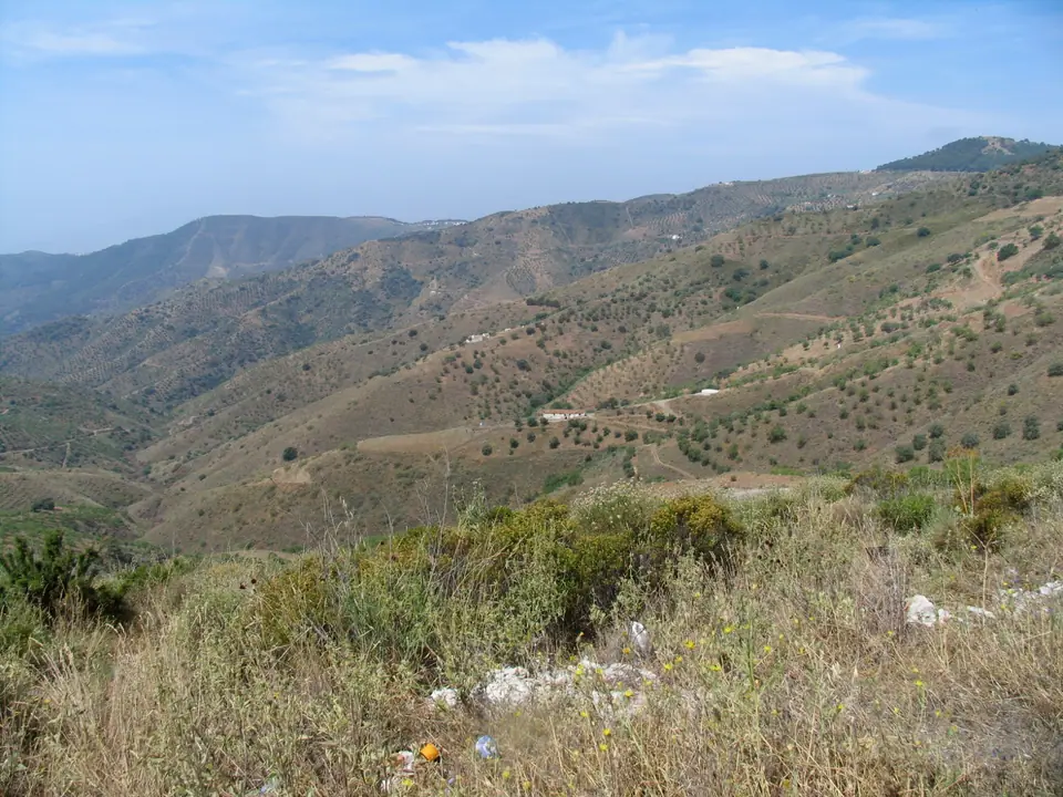
Visiting Caminito del Rey in Protected Gorge Valleys
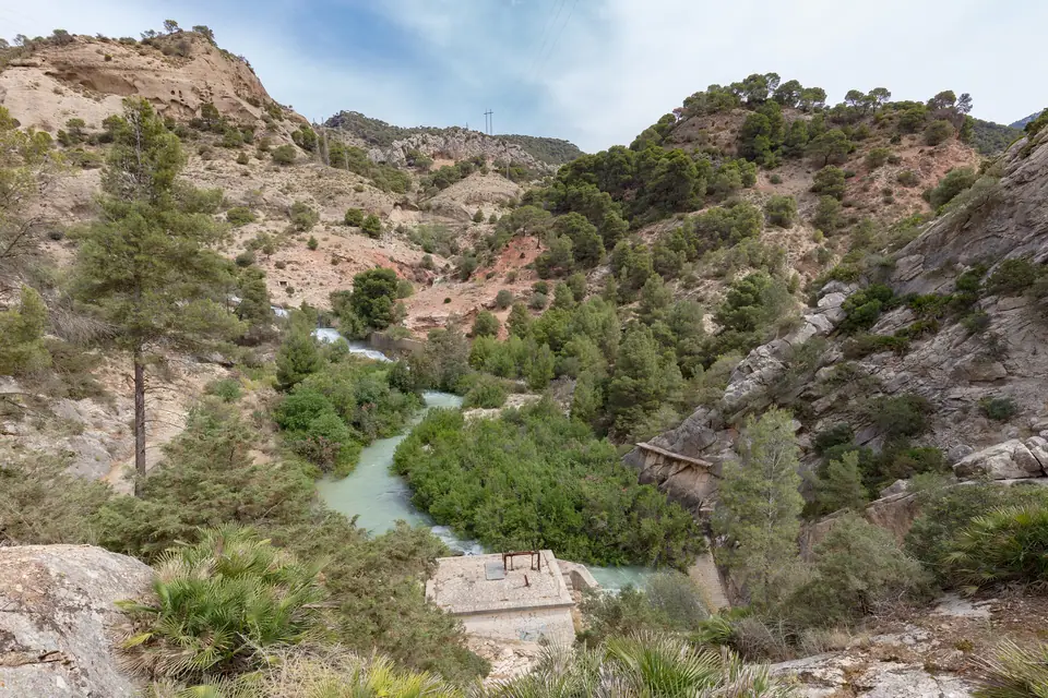
The Caminito del Rey path offers an excursion into limestone canyon scenery. The walking route is located in Desfiladero de los Gaitanes Natural Park, situated in the centre of the province.
The rocky gorge lies within an easy travel distance from coastal districts. The Visitors' Reception Centre is located 57.7 km away from Málaga at el Puerto de las Atalayas. This facility also lies 6 km from the Ardales crossing and 51 km from Antequera.
Conservation history shapes this protected landscape. The regional government declared the territory a Natural Area in 1989. Previously, authorities classified it as a Special Protection Area for Birds in 1987. Since 2006, the zone forms part of the Andalusia-Morocco Intercontinental Biosphere Reserve of the Mediterranean.
Strict access regulations protect visitors along the narrow footbridges suspended above the river canyon. Children under 8 years old cannot access the Caminito del Rey.
Visitors over 8 years old must bring their original identity card or Family Book to verify their age at entry. Staff turn away young travellers without proper documentation.
You can book an official guided visit, which permits a maximum group of 30 people accompanied by a certified guide. Check the official site well in advance, as permits sell out quickly.
Reaching Caminito del Rey and El Chorro by Train
Taking the train removes the stress of winding rural driving and parking in remote mountain valleys. Regional rail links the coastal city straight to the gorge trailhead.
Renfe offers near-distance train services connecting Málaga, El Chorro, and Caminito del Rey. Trains run inland from María Zambrano station toward El Chorro platform.
Shuttle buses link El Chorro rail stop to northern trail access points near the Visitors' Reception Centre. Wear sturdy walking footwear and bring plenty of water before leaving the station.
Check the rail operator timetable before booking path entry tickets. Matching your train return with walking durations ensures a smooth countryside journey through the natural park.
The railway approach passes through dramatic limestone cuttings and olive groves. Planning an early departure gives you surplus time to enjoy countryside views before tackling the suspended footpaths.
Reaching Historic Granada Across the Andalusian Interior
Granada sits inland against high mountains at a distance of 130 km from Málaga. Its elevated location makes it a rewarding excursion for heritage seekers.
Regular regional buses and mid-distance trains run between the two urban centres. Road journeys climb through mountain passes as you leave the coastal basin behind.
Medieval chroniclers praised this network of southern settlements. The fourteenth-century traveller Ibn Batuta wrote of Málaga as one of the most beautiful capital cities in all Al-Andalus.
Long before Muslim rule, ancient peoples shaped regional trade. In the first century BC, Estrabon mentioned an early Phoenician town situated beneath the modern Alcazaba slope.
Successive rulers fought over southern strongholds. King Leovigildo seized control of the settlement for the Visigoths in 571. Later, Muslim forces crossed near Gibraltar in 711 under lieutenant Tarik with almost 10,000 men.
Coordinate your transport tickets carefully with monument entry times in Granada. Mountain elevation creates cooler conditions than coastal beaches, so adjust your daypack clothing accordingly.

Coastline Journeys South Toward Torremolinos and Fuengirola
Travellers seeking quick seaside excursions can head west down the coastal corridor using rail. Frequent trains serve these modern seaside settlements throughout the day.
Torremolinos sits at a distance of 20 km from Málaga along the bay. It offers expansive beaches and quick transit connections back to town.
Continuing along the rail corridor, Fuengirola is located at a distance of 35 km from Málaga. The coastal commuter train terminates at this seaside destination, making navigation simple.
Beyond the rail terminus, road transport connects you to distant resorts. Marbella sits at a distance of 60 km from Málaga, and Estepona lies 90 km down the western coast.
These seaside destinations provide straightforward half-day options when full mountain treks feel too demanding. Review our suggestions in the Best Things to Do in Málaga before deciding between beach corridors and inland heritage.
Exploring Inland Frontiers Toward Córdoba Plains
Heading directly north from Málaga takes you toward the fertile interior plains of Andalusia. The province of Córdoba borders the province of Málaga across inland mountain ridges.
Geography dictates the rhythm of this agricultural region. The Guadalquivir river crosses the province of Córdoba from east to west, irrigating wide plains planted with cereals, grapevines, and olive trees.
Travelling north by rail passes through these extensive cultivated plains. The change from coastal subtropical vegetation to rolling olive fields illustrates the climatic diversity of southern Spain.
A day excursion into the Guadalquivir basin exposes travellers to ancient river trade corridors. High-speed rail lines bridge the mountain barrier, allowing rapid transit into deep inland territories.
Plan your day around cooler morning hours when exploring inland agricultural settlements. Summer temperatures rise steeply once you leave the maritime breezes of the Mediterranean coast.
Venturing to the Historic Atlantic Coast of Cádiz
For an ambitious day trip, consider travelling westward toward the Atlantic ocean. The province of Cádiz borders the province of Málaga to the east.
Cádiz city sits at a distance of 230 km from Málaga. Road and rail corridors traverse rural countryside, rolling hills, and western wetlands.
Strategic waters defined this regional boundary over millennia. Cádiz is the southernmost province on the Iberian peninsula and is only 14 km from Africa.
The province borders Seville and Huelva to the north, Málaga to the east, and British Gibraltar to the south. Seville itself sits at a distance of 200 km from Málaga.
Historic events transformed this coastal territory over centuries. In 711, Muslims conquered these lands by defeating the Visigoths at the Guadalete river.
On three separate occasions, ships commanded by Christopher Columbus set sail from Cádiz ports toward the New World and returned to these same harbours.
In 1812, leaders signed the first Spanish Constitution in Cádiz, making the city the capital of the nation for three years.
The province features 260 kilometres of Atlantic coastline, characterised by long beaches of fine sand. An early morning start allows you to experience these ocean shores.
Where it is
- 1Málaga
- Málaga-Costa del Sol Airport (AGP) · about 9 km from Málaga in a straight line
- Directions in Google Maps
Stations and taxi ranks: OpenStreetMap. Airports: OurAirports. Distances are in a straight line.
Traveller tips
Real advice from people who have been to Málaga. Every tip is read by our team before it goes live.
No tips yet. Been here? Yours could be the first.
Thank you! Your tip will appear here after a quick review.
More in Málaga
Continue exploring Málaga with related neighbourhood, food, and planning guides