


























How to Get to Manaus: Flights, Amazon River Boats & Highway BR-174
Everything you need to know about getting to Manaus, Brazil: flights to Eduardo Gomes Airport (MAO), Amazon River ferries, and getting around by Uber and boat.
Surrounded by thousands of square kilometres of unbroken tropical forest and braided river channels, Manaus functions much like an island metropolis. The vast majority of domestic and international visitors arrive by air, while adventurous travellers with flexible schedules can still journey along the Amazon River corridor by boat or drive south from the Venezuelan and Guyanese borders along paved federal highways.
1. Flying into Eduardo Gomes International Airport (MAO)
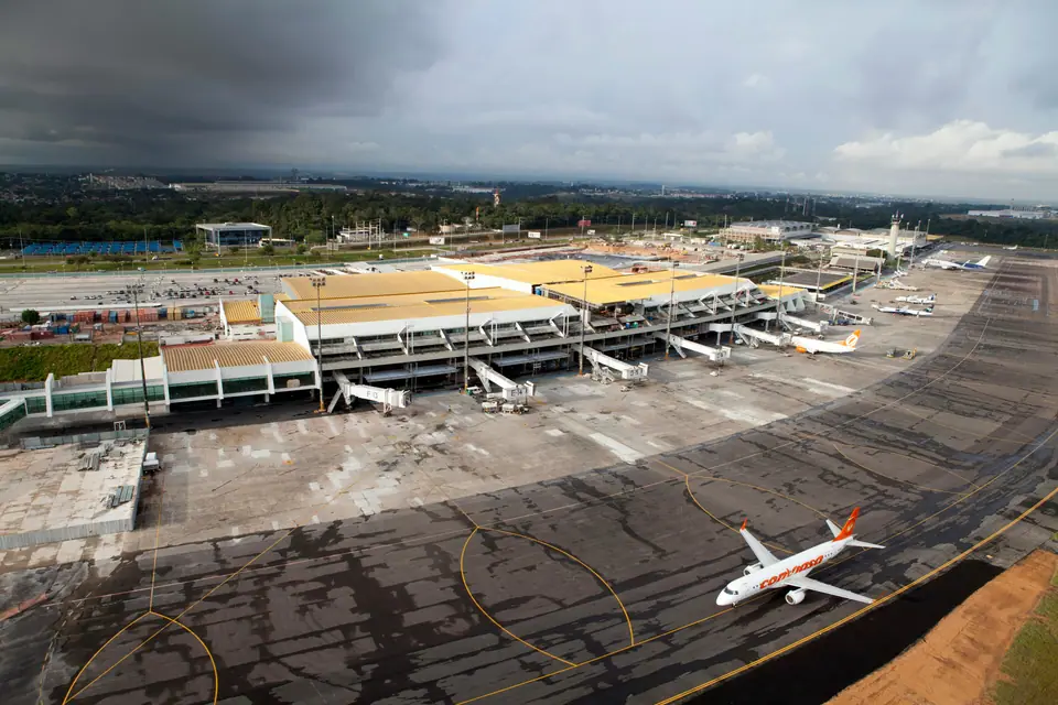
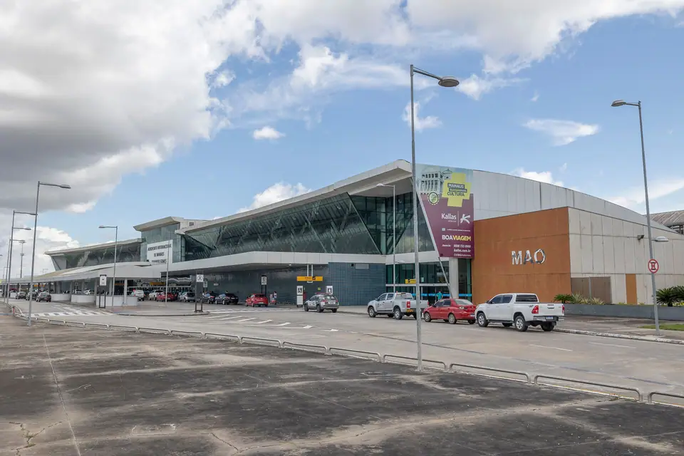
Eduardo Gomes International Airport (IATA: MAO) sits in the Tarumã district, roughly 14 kilometres north of the historic centre and 10 kilometres northeast of the Ponta Negra waterfront. It is the busiest passenger and cargo hub in Northern Brazil:
- Domestic Direct Flights: Daily non-stop services link Manaus with Brasília (about 3 hours), São Paulo Guarulhos and Campinas (3 hours 50 minutes), Rio de Janeiro, Belém, Recife, and Fortaleza, alongside regional turboprop and jet hops to Tefé, Tabatinga, Parintins, and Boa Vista.
- International Connections: Direct flights connect Manaus with Panama City, Bogotá (Bogotá), and Miami, allowing North American and European travellers to reach the Amazon without backtracking through southern Brazil.
- Airport Transfers: Licensed airport taxis and ride-hailing apps (Uber and 99) pick up along the arrivals kerb; the ride to Largo de São Sebastião or Adrianópolis takes 25 to 35 minutes depending on traffic along Avenida Torquato Tapajós.
2. Arriving by Amazon River Boat and Speedboat
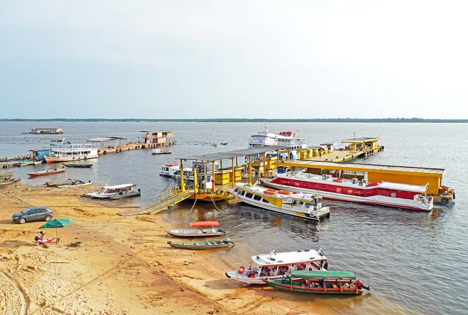
River highways remain the lifeblood of Amazonas state, with vessels docking at the historic Porto de Manaus floating roadway or at Ceasa Port on the eastern tip of the city:
- Belém and Santarém Route: Traditional multi-deck riverboats (barcos regionais) with open hammock decks and private air-conditioned cabins sail upstream from Belém (5 days) and Santarém/Alter do Chão (36 to 48 hours) to Manaus.
- Solimões Tri-Border Route (Tabatinga/Leticia): Express hydrofoils and fast catamarans (lanchas a jato) cover the upriver run from Tabatinga at the Colombian-Peruvian border in roughly 30 to 36 hours, compared to three to four days on conventional hammock boats.
3. Highway BR-174 and Getting Around Manaus
Paved federal highway BR-174 runs north from Manaus through Presidente Figueiredo (107 km, 90 minutes) to Boa Vista (785 km) and the Venezuelan border, with an onward link to Georgetown in Guyana. Within Manaus, Uber is inexpensive and convenient for reaching MUSA, INPA, and Marina do Davi, where cooperative water taxis (ACamdaf) depart every few minutes for river beaches along the lower Rio Negro.
Traveller tips
Real advice from people who have been to How to Get to Manaus: Flights, Amazon River Boats & Highway BR-174. Every tip is read by our team before it goes live.
No tips yet. Been here? Yours could be the first.
Thank you! Your tip will appear here after a quick review.
More in Manaus
Continue exploring Manaus with related neighbourhood, food, and planning guides
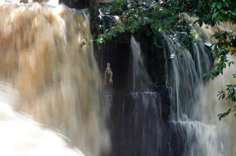
Presidente Figueiredo Waterfalls & Caves Guide: Day Trip North of Manaus
Manaus, Brazil
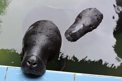
INPA Bosque da Ciência & Amazonian Wildlife Guide: Manatees & Giant Otters
Manaus, Brazil
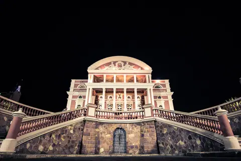
Manaus: Essential Planning for the Heart of the Amazon
Manaus, Brazil
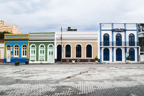
Best Things to Do in Manaus: Opera House, River Confluence & Canopy Towers
Manaus, Brazil
