Bogotá
High on the Andean Sabana de Bogotá at 2,640 metres, Colombia's capital pairs pre-Hispanic gold collections and clay-roofed colonial lanes in La Candelaria with cloud-forest viewpoints on Cerro de Monserrate and red-brick northern neighbourhoods.
Quick decisions
- How many days? Three to four days cover the historic centre of La Candelaria, the Gold Museum, Cerro de Monserrate, the northern districts of Chapinero and Usaquén, and a day trip to the Salt Cathedral of Zipaquirá or Laguna de Guatavita.
- Where should I stay? Choose La Candelaria for colonial courtyards within walking distance of museums, Chapinero and Zona G for brick avenues and contemporary dining, Zona T and Parque de la 93 for northern hotels, or Usaquén for a village-like square.
- Do I need a car? No. Walk inside historic and northern districts, use the TransMilenio bus rapid transit system with a Tullave card during off-peak hours, and book authorised taxis or ride-hailing apps at night.
- Best for: Pre-Columbian goldwork, modern Latin American art, Andean mountain viewpoints, Sunday Ciclovía cycling avenues, and hearty highland soups.
- Before you go: At 2,640 metres (8,660 ft) above sea level, pace your first afternoon, stay hydrated, and pack layers for daytime highs near 19°C and cool evenings near 8°C.
- Getting around: Orient yourself using the Eastern Hills (Cerros Orientales) to the east; Carreras run south to north parallel to the mountains, while Calles run east to west.
- Continue your trip: Pair the Andean capital with Caribbean fortifications in Cartagena or high-Andean heritage in Cusco.
Overview
Bogotá spreads across the Sabana de Bogotá, a fertile basin on the Altiplano Cundiboyacense in the Eastern Cordillera of the Colombian Andes at an average elevation of 2,640 metres (8,660 feet). Founded on 6 August 1538 by Spanish conquistador Gonzalo Jiménez de Quesada near the Muisca settlement of Bacatá, the city served as the seat of the Royal Audiencia of the New Kingdom of Granada from 1550 and the capital of the Viceroyalty of New Granada from 1717 before becoming the capital of independent Gran Colombia after the Battle of Boyacá in 1819.
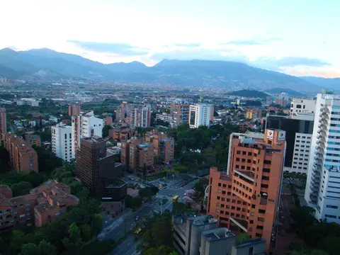
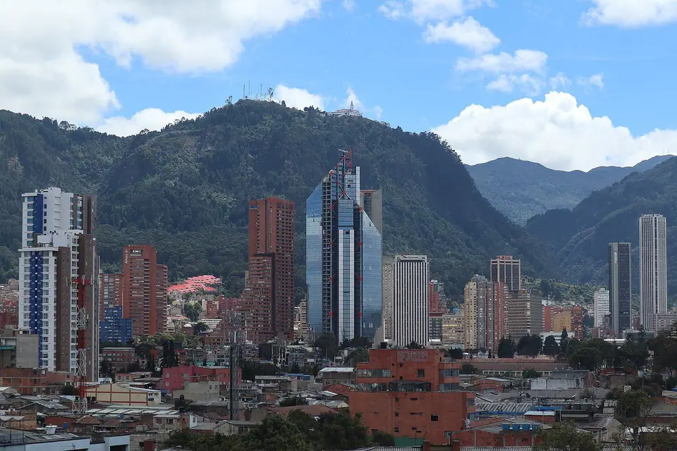
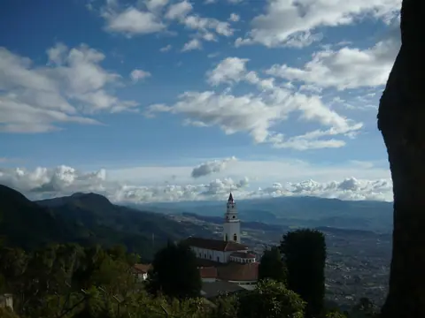
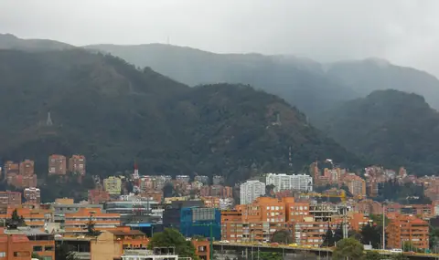
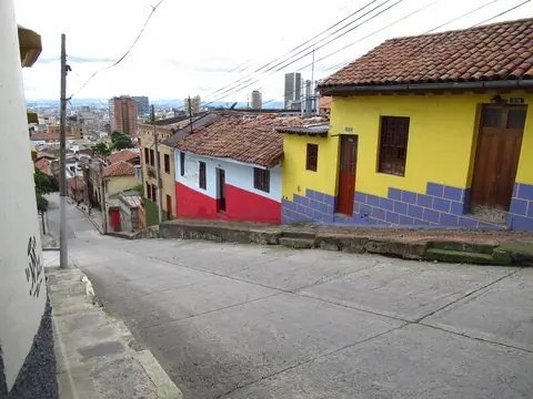
Along its eastern edge, the forested wall of the Cerros Orientales rises past 3,150 metres, crowned by the white sanctuary of Cerro de Monserrate and the neighbouring peak of Cerro de Guadalupe. Below the mountain slopes, the clay-tiled roofs of La Candelaria give way to the brick towers of Centro Internacional, the leafy avenues of Chapinero, and the colonial plaza of Usaquén in the north.
Getting there
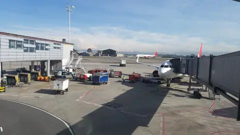
El Dorado International Airport (IATA: BOG) sits 12 kilometres west of downtown in the Fontibón and Engativá localities at 2,547 metres elevation, operating two 3,800-metre runways with direct flights across the Americas and Europe. Avenida El Dorado (Calle 26) links the terminals to the city centre via authorised airport taxis and the TransMilenio K trunk corridor using a rechargeable Tullave smartcard. Intercity buses arrive at Terminal de Transporte Salitre and Terminal del Norte.
Where to stay
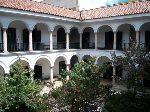
Travellers choosing a base in Bogotá weigh proximity to historic museums against evening dining and walkability. La Candelaria places you steps from Plaza de Bolívar, Museo Botero, and Museo del Oro in restored Republican mansions. Further north along the foot of the Eastern Hills, Chapinero Alto, Zona G, Zona T, and Usaquén offer quieter tree-lined streets, specialty coffee roasters, and modern boutique hotels.
Things to do
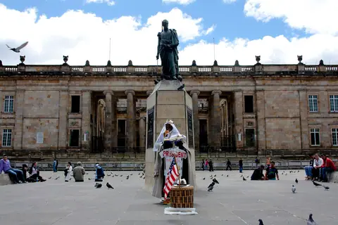
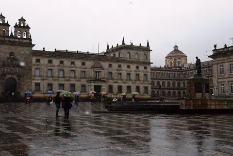
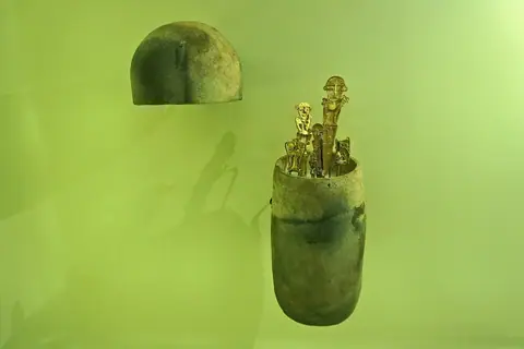
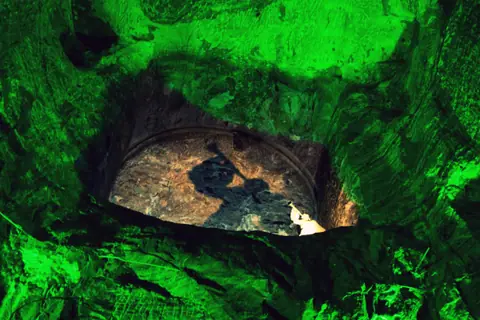
Start at the Museo del Oro on Parque Santander to examine over 34,000 pre-Hispanic gold and tumbaga artefacts, including the ceremonial Muisca Raft from Pasca. Walk south into La Candelaria to visit the Banco de la República cultural block housing the Museo Botero and Casa de Moneda, then cross Plaza de Bolívar between the 1823 Catedral Primada and Thomas Reed's neoclassical Capitolio Nacional. Ride the funicular or aerial cable car up Cerro de Monserrate for sweeping views across the highland plateau, and devote a full day to the underground Salt Cathedral of Zipaquirá and sacred Laguna de Guatavita.
Food and drink
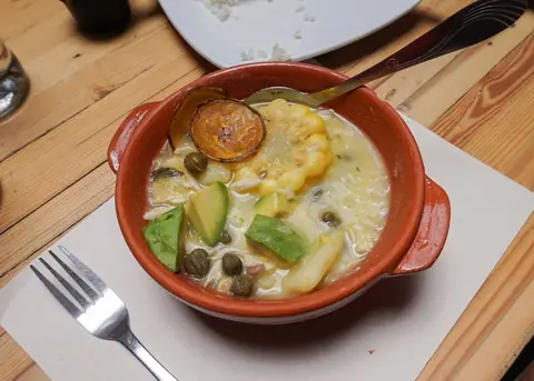
Highland cooking in Bogotá revolves around potatoes, corn, herbs, and slow-simmered broths suited to cool mountain afternoons. The signature dish is ajiaco santafereño, a thick chicken soup cooked with three varieties of Andean potato (criolla, pastusa, and sabanera), sweetcorn, and aromatic guasca leaves, accompanied by capers, cream, and avocado. Traditional late-afternoon onces pair frothy hot chocolate santafereño with salty farm cheese melted inside the cup alongside warm almojábanas and pandebonos.
Culture
Every Sunday and public holiday, Bogotá transforms its road network for the Ciclovía, closing more than 120 kilometres of major thoroughfares such as Carrera 7 and Avenida Boyacá to motor vehicles so cyclists, skaters, and runners can cross the capital from south to north. Street murals along Calle del Embudo and Avenida El Dorado, literary life inside the Biblioteca Luis Ángel Arango, and the stone architecture of Rogelio Salmona around Torres del Parque and Virgilio Barco Library give the capital a distinct artistic identity.
Weather by month
Bogotá is warmest in February, with average highs around 20°C, and coldest in January, when nights drop to about 6°C. May is the wettest month, with rain on about 14 days. For mild weather with fewer rainy days, aim for January, February, August, September and December.
| Month | Low | Range | High | Rain | Rainy days |
|---|---|---|---|---|---|
| Jan | 6°C | 20°C | 35 mm | 5 d | |
| Feb | 8°C | 20°C | 49 mm | 7 d | |
| Mar | 9°C | 20°C | 77 mm | 11 d | |
| Apr | 10°C | 20°C | 91 mm | 13 d | |
| May | 10°C | 19°C | 98 mm | 14 d | |
| Jun | 9°C | 19°C | 70 mm | 10 d | |
| Jul | 9°C | 19°C | 70 mm | 10 d | |
| Aug | 8°C | 19°C | 63 mm | 9 d | |
| Sep | 8°C | 19°C | 63 mm | 9 d | |
| Oct | 8°C | 19°C | 84 mm | 12 d | |
| Nov | 9°C | 19°C | 84 mm | 12 d | |
| Dec | 8°C | 20°C | 56 mm | 8 d |
Averages of daily values from 2015 to 2024. Rainy days are days with at least 1 mm of rain. Source: Open-Meteo · Compare destinations by month.
Bogotá on the map
Every place we cover in Bogotá. Tap a category or pin to explore.
In-depth Bogotá guides
Browse the guides grouped by topic: sights, neighbourhoods, food, transport, day trips and trip planning.
Sights, Landmarks & Parks
Key monuments, viewpoints, museums and nature trails.
- Things to Do in Bogotá: Best Attractions, Museums and Mountain ViewsFrom the 34,000 gold pieces in the Museo del Oro and Botero's volumetric sculptures to the summit of Monserrate and Sunday Ciclovía, explore top Bogotá sights.
- Best Time to Visit Bogotá: Month-by-Month Andean Climate and SeasonsPlan around Bogotá's bimodal Andean climate at 2,640 metres using official IDEAM 1991-2020 normals, comparing the December-February and July-August dry spells.
- 3-Day Bogotá Itinerary: Historic Centre, Gold Museum, Monserrate and Day TripsFollow a balanced 3-day Bogotá route covering La Candelaria, Museo del Oro, Museo Botero, Cerro de Monserrate, Chapinero, and the Zipaquirá Salt Cathedral.
- Plaza de Bolívar, Catedral Primada, Capitolio Nacional and Casa de NariñoExplore Colombia's civic heart at Plaza de Bolívar, framed by the 1823 Catedral Primada, Thomas Reed's Capitolio Nacional, Palacio Liévano, and Casa de Nariño.
- Museo del Oro: Pre-Columbian Gold, the Muisca Raft and Tumbaga CraftExplore the world's largest pre-Hispanic gold collection at Bogotá's Museo del Oro, from the Quimbaya Poporo and Muisca Raft to Parque Santander's churches.
- Museo Botero, Casa de Moneda and the Banco de la República Cultural BlockTour the free museums of the Manzana Cultural on Calle 11 in La Candelaria, including Fernando Botero's 208 donated artworks, Casa de Moneda, and MAMU.
- Cerro de Monserrate: Funicular, Teleférico, Shrine and Quinta de BolívarAscend 3,152-metre Cerro de Monserrate by funicular, cable car, or stone trail for Bogotá's widest panorama, then visit Simón Bolívar's Quinta at the base.
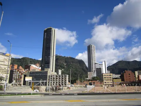
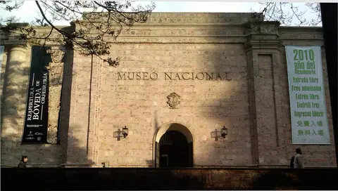
- Museo Nacional de Colombia, Centro Internacional and Torre ColpatriaVisit Colombia's oldest museum inside Thomas Reed's stone Panóptico fortress, admire Rogelio Salmona's brick Torres del Parque, and climb Torre Colpatria.
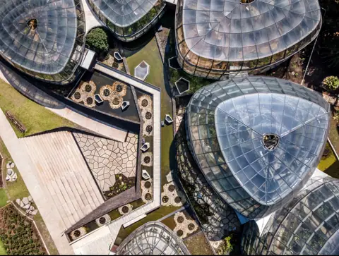
- Chapinero, Usaquén, Simón Bolívar Park and José Celestino Mutis Botanical GardenExplore northern and western Bogotá: neo-Gothic Lourdes Basilica in Chapinero, the Sunday flea market in Usaquén, Simón Bolívar Park, and the Botanical Garden.

Neighbourhoods & Where to Stay
Districts, historic quarters and the best bases for your stay.
- Bogotá: Complete Planning for Colombia's Andean CapitalPlan a rewarding trip to Bogotá with practical advice on its 2,640-metre altitude, the Carrera and Calle street grid, key localities, and transport.
- Where to Stay in Bogotá: La Candelaria, Chapinero, Zona T and UsaquénCompare Bogotá's best neighbourhoods for visitors, from colonial courtyards in La Candelaria to brick lanes in Chapinero, Zona G, Zona T, and Usaquén.
- La Candelaria, Chorro de Quevedo and Colonial Streets in BogotáWalk the cobbled lanes of La Candelaria from Plazoleta del Chorro de Quevedo and mural-filled Calle del Embudo to Teatro Colón and colonial courtyards.
Food & Drink
Local dishes, markets, cafés and dining districts.
Getting Around & Arrival
Airport transfers, public transit, passes and driving rules.
Day Trips & Excursions
Easy half-day and full-day trips from the city.
Reviews
Log in to write a review.
No reviews yet.