


























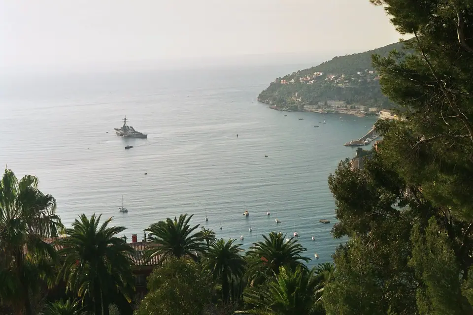
Mont Boron, Cap de Nice and Villefranche-sur-Mer: Coastal Sentier du Littoral & Deep Harbour
Hike the 57-hectare forest ridge of Mont Boron to the 1557 Fort du Mont-Alban, walk the rocky Sentier du Littoral around Cap de Nice, and explore Villefranche-sur-Mer.
Immediately east of Port Lympia, a limestone ridge separates the pebble curve of the Baie des Anges from the deep sheltered anchorage of Villefranche-sur-Mer. Crowned by a 57-hectare Mediterranean forest park of Aleppo pines, wild olives, and carob trees, Mont Boron rises to 191.3 metres above the sea and offers the finest dual panoramas on the Riviera: looking west across all of Nice toward the Cap d'Antibes and the snow-dusted Alps, and east over the Rade de Villefranche and the peninsula of Saint-Jean-Cap-Ferrat.
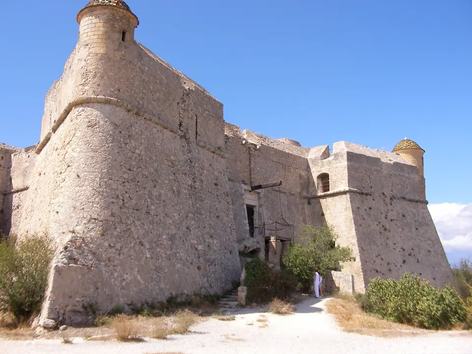
1. Fort du Mont-Alban and the Mont Boron Forest
Following the destructive Franco-Ottoman siege of Nice in 1543, Duke Emmanuel Philibert of Savoy commissioned Charles V's military engineer Gian Maria Olgiati to design a new defensive chain between the castle of Nice and the harbour of Villefranche. Built between 1557 and 1560 (with its foundation stone laid on 5 April 1557) by architect-engineer Domenico Ponsello under naval commander André Provana de Leyni, the Fort du Mont-Alban stands on the northern ridge above Mont Boron. Laid out on a bastioned star plan to resist sixteenth-century artillery and named after the white limestone rock of the hill, it is one of the rare mid-sixteenth-century military fortifications in France preserved in its original form. Transferred from the Ministry of Culture to the City of Nice in May 2007 and opened to visitors in 2010 and 2011, its rampart walk commands sweeping views from Italy to the Esterel hills.
Walking south through the 57-hectare Mont Boron forest brings you to the Batterie du Mont Boron, a 400-metre-long coastal artillery enclosure covering 15,000 square metres that was built in 1886 to 1887 to guard both bays. At the western foot of the hill near Port Lympia lies the prehistoric cave of Grotte du Lazaret, a Middle Palaeolithic site.
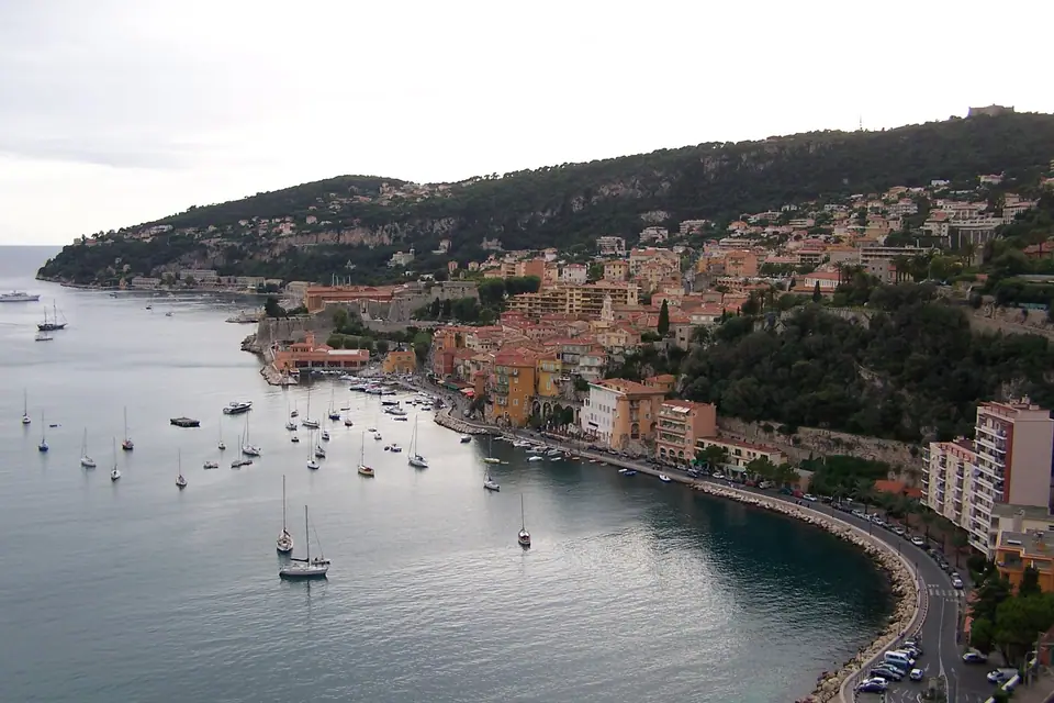
2. Walking the Sentier du Littoral to Villefranche-sur-Mer
Below the villas of Boulevard Franck-Pilatte and the historic seaside diving boards of La Réserve and Coco Beach, the pedestrian Sentier du Littoral (coastal footpath, established under the French coastal servitude law of 31 December 1976) hugs the wave-carved white limestone ledges of Cap de Nice. Cut with stone steps and footbridges just metres above the clear water, the trail winds east around the headland before climbing to the Basse Corniche (or continuing after a short roadside link all the way into Villefranche-sur-Mer).
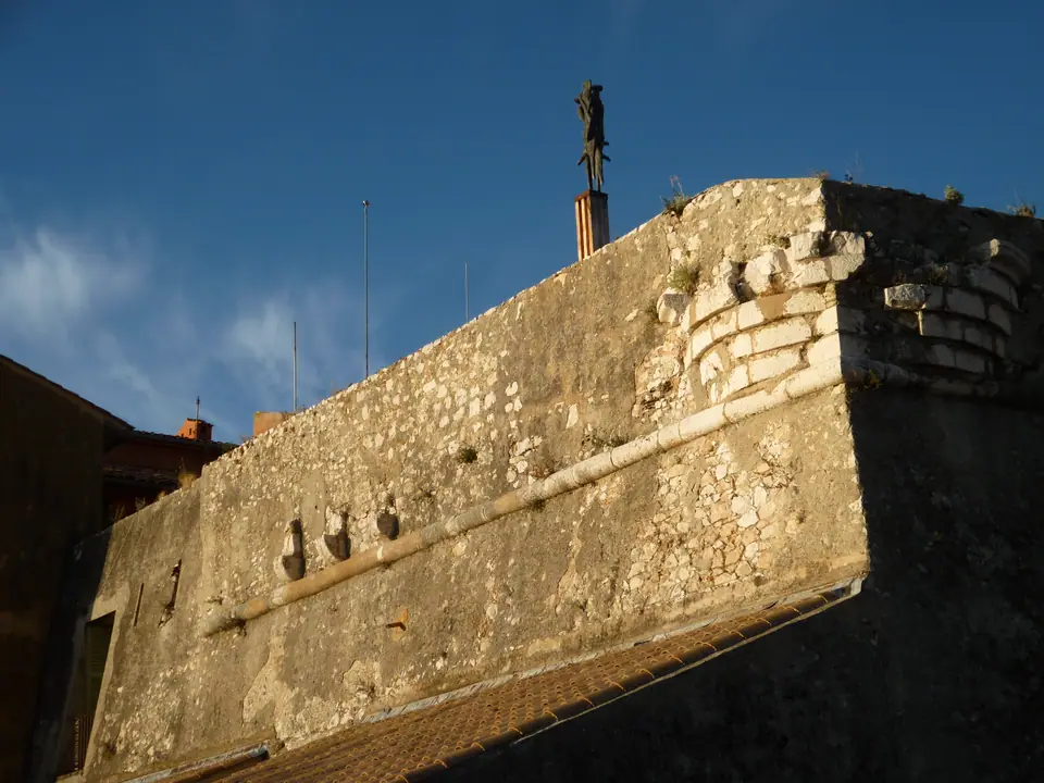
Located immediately east of Mont Boron and 10 kilometres (6.2 miles) southwest of Monaco (also reachable in a short ride by TER train from Gare de Nice-Ville), Villefranche-sur-Mer curves around one of the deepest natural harbours in the Mediterranean Sea. Between Cap de Nice and Cap Ferrat the bay reaches a depth of 98 metres (320 feet) before plunging 1.9 kilometres (1 nautical mile) offshore into the 518-metre (1,700-foot) undersea Canyon of Villefranche, while the hills directly behind the town climb to 577 metres (1,893 feet) at Mont-Leuze.
Founded in 1295 when Charles II of Anjou, Count of Provence, granted tax and port privileges by charter to create a "free port" (Villafranca), the town preserves its vaulted thirteenth-century Rue Obscure, pastel harbourfront facades, and the massive waterfront Citadelle Saint-Elme, built by Duke Emmanuel Philibert of Savoy after the 1543 siege and now housing the town hall, gardens, and municipal museums.
Traveller tips
Real advice from people who have been to Mont Boron, Cap de Nice and Villefranche-sur-Mer: Coastal Sentier du Littoral & Deep Harbour. Every tip is read by our team before it goes live.
No tips yet. Been here? Yours could be the first.
Thank you! Your tip will appear here after a quick review.
More in Nice
Continue exploring Nice with related neighbourhood, food, and planning guides
Cimiez, Musée Matisse and Musée Marc Chagall: Roman Amphitheatre & Modern Masters
Nice, France
Place Masséna, Promenade du Paillon and Avenue Jean-Médecin: Red Arcades & Urban Park
Nice, France
St Nicholas Russian Orthodox Cathedral and Belle Époque Nice: Imperial Domes & Winter Palaces
Nice, France
Èze, Saint-Jean-Cap-Ferrat and Monaco Day Trips: Villa Ephrussi de Rothschild & Cliffside Villages
Nice, France
