Photo: Norbert Reimer from Mettlach-Orscholz, Saarland · CC BY-SA 2.0
Kinderdijk Windmills: Polder Chain and River Routes
Reaching Kinderdijk's 19 UNESCO-listed 1740 windmills from Rotterdam: WaterShuttle ticket changes versus OVpay Waterbus Line 20, Metro plus Bus 489, and polder drainage.
Fifteen kilometres east-southeast of downtown skyscrapers lies the historic hydraulic landscape that kept low-lying South Holland habitable. Where the Lek and Noord rivers meet inside the Alblasserwaard polder (Molenlanden municipality), Kinderdijk (KIN-der-dyk) preserves 19 monumental drainage windmills. Together, they form the largest surviving concentration of historic windmills in the Netherlands. UNESCO inscribed the Mill Network at Kinderdijk-Elshout onto the World Heritage List in 1997 under criteria (i), (ii), and (iv). Living Dutch water engineering sits just one boat or bus hop from central Rotterdam.
Nineteen Windmills Guarding the Alblasserwaard Polder
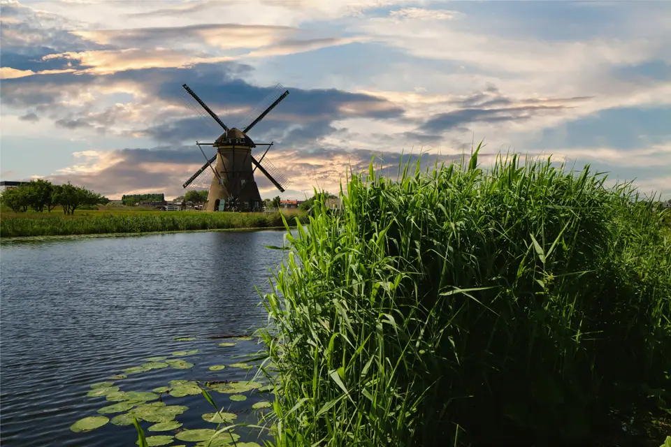
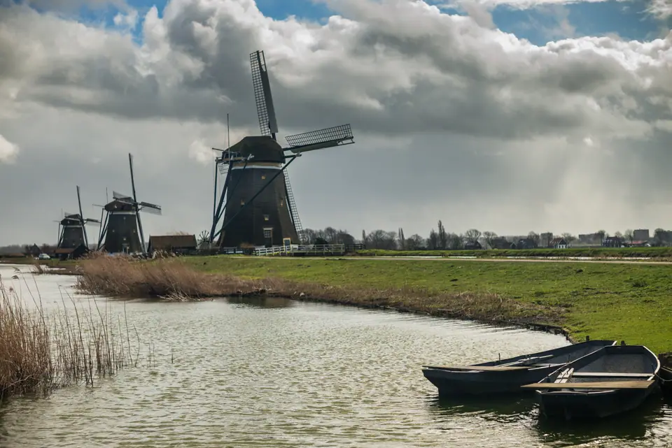
Walk out onto the central paved dike between two parallel drainage canals and the layout tells an immediate engineering story. Rather than grinding flour, Kinderdijk's nineteen windmills worked together as one connected pumping machine. Rotating wooden caps swing tall timber sails toward changing breezes, driving internal waterwheels to lift excess rainwater up from sunken pastures below river level. Quiet reed-lined basins and flat gravel cycle tracks feel worlds away from deepwater freight terminals downriver past Waalhaven and downtown towers.
From the 1421 Flood to Nederwaard, Overwaard and Wisboom
Although the catastrophic St Elizabeth's Flood of 18 to 19 November 1421 breached regional dikes and drowned neighbouring Grote Hollandse Waard, the Alblasserwaard survived behind sturdy levees. Still, trapped rainfall steadily waterlogged low pastures because outside river levels stood higher than surrounding peat fields. Rain could no longer drain naturally into tidal rivers through simple gravity locks once peat soil compacted and sank. Between 1738 and 1740, regional water boards solved that drainage bottleneck by building nineteen coordinated mills across parallel basins. Eight round brick windmills line the Nederwaard polder (1738), spaced carefully in staggered positions so turning sails never stole wind from neighbours. Across the middle dike stand eight octagonal thatched-wood windmills along the Overwaard polder (1740), joined by De Blokweer and neighbouring polder mills.
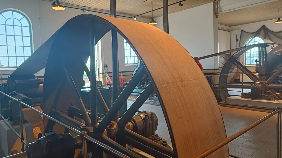
Water stepped cleanly through a two-stage hydraulic chain whenever river tides ran high. Windmills scooped low field-ditch (weteringen) water up into elevated holding reservoirs (hoge boezem). Operators stored excess runoff safely inside those high storage canals until outside river levels along the Lek dropped low enough to swing discharge sluices open. When windless wet spells stalled timber sails, engineers built the steam-powered Wisboom Pumping Station in 1868. Electric motors replaced steam machinery there in 1924 to keep polder grass dry through calm autumns. Today, two modern diesel and electric pumping stations beside the visitor entrance manage primary water discharge. Inside the protected World Heritage site, museum mills Nederwaard and Blokweer plus the historic Wisboom engine hall stay open for close inspection.
WaterShuttle Ticket Changes Versus OVpay Line 20 and Bus 489
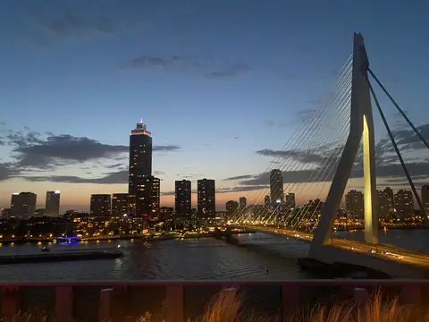
Reaching Kinderdijk cleanly requires checking key river-transit ticket changes before stepping onto Willemskade piers near the Erasmus Bridge. Crucially, contactless OVpay bank cards no longer work aboard the direct boat:
- Direct WaterShuttle (no OVpay accepted): Former public Waterbus Line 21 from Rotterdam Willemskade straight to Kinderdijk (taking roughly 30 minutes) now runs solely as the tourist WaterShuttle. Contactless bank cards under OVpay and OV-chipkaarts are not valid. Buy separate WaterShuttle or Kinderdijk combitickets online via waterbus.nl or kinderdijk.com before boarding.
- OVpay Waterbus Line 20 plus Driehoeksveer or bicycle: Tap OVpay normally aboard public Waterbus Line 20 from Rotterdam Erasmusbrug to Ridderkerk (De Schans). Transfer there onto the short Driehoeksveer foot and cycle ferry (separate on-board fare required). Alternatively, ride Line 20 to Alblasserdam (Kade) and cycle (bicycles travel free on Waterbus) or walk 10 to 15 minutes along the dike.
- Metro or Tram plus Arriva Bus 489 (full OVpay route): Ride RET Metro Lines A, B, or C east to Kralingse Zoom (or Tram 3 to P+R Beverwaard). Catch direct Bus 489 from Platform D, reaching Kinderdijk, Molenkade in roughly 35 to 40 minutes on OVpay.
- Public path access vs. paid interiors: Walking or cycling the main dike trail remains free without entry gates. Paid tickets cover Museummolen Nederwaard, Blokweer, Wisboom hall, and site boat tours. Stay off private gardens and clear of windows because most mills remain lived-in family homes.
Walking the Exposed Dikes and Entering Museum Mills
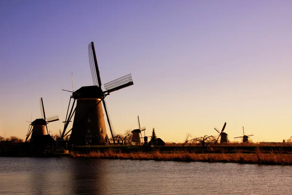
Stepping inside Museummolen Nederwaard reveals cramped circular wooden living quarters built directly under roaring oak gears and vertical timber drive shafts. Standing inside that tight timber core explains how millers raised families beside working sails better than any postcard. Out along the dike, neither tall buildings nor thick woodland block brisk crosswinds sweeping off both rivers. Cycling or walking along the polder track lets you contrast round brick Nederwaard towers against octagonal thatched Overwaard frames across reed-lined water. Rain squalls cross the flat Alblasserwaard basin quickly with zero overhead shelter between the entrance hall and far Overwaard mills. Pair Kinderdijk with your calmest, clearest morning inside Rotterdam's forecast window. Pack a windproof waterproof jacket rather than relying on fragile umbrellas, wear sturdy shoes for damp gravel paths, and linger toward late afternoon when golden sunlight reflects brick mill towers clearly across still reservoir water.
Where it is
- 1Kinderdijk Windmills
- Rotterdam The Hague Airport (RTM) · about 16 km from here in a straight line
- Amsterdam Airport Schiphol (AMS) · about 48 km from here in a straight line
- Directions in Google Maps
Stations and taxi ranks: OpenStreetMap. Airports: OurAirports. Distances are in a straight line.
Traveller tips
Real advice from people who have been to Rotterdam. Every tip is read by our team before it goes live.
No tips yet. Been here? Yours could be the first.
Thank you! Your tip will appear here after a quick review.
More in Rotterdam
Continue exploring Rotterdam with related neighbourhood, food, and planning guides