


























Santiago: Layout, Communes and Planning Essentials
Understand how Chile’s capital is organised across the Mapocho basin, from historic Santiago Centro and Lastarria to Providencia and the Andes.
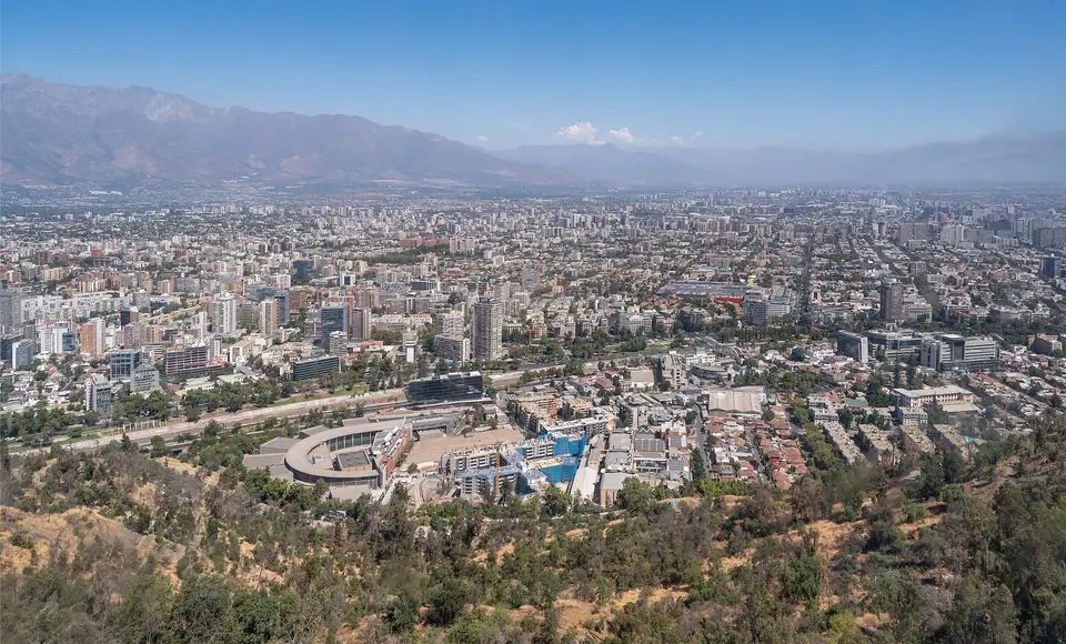
Founded by Spanish conquistador Pedro de Valdivia on 12 February 1541 atop an earlier Inca administrative centre in the Mapocho basin, Santiago sits at an average elevation of 567 metres between the Chilean Coastal Range and the towering wall of the Andes. Whenever a cold front or afternoon breeze clears the valley air, 5,000- and 6,000-metre peaks such as Cerro El Plomo and Tupungato rise directly behind the city’s glass towers and 18th-century church domes.
How Greater Santiago Is Organised
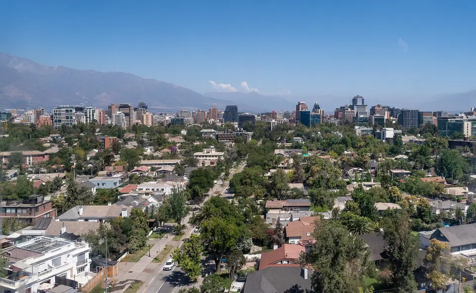
Rather than operating as a single municipality, Greater Santiago is divided into independent communes (comunas), each with its own mayor and distinct street character. Almost every sight a visitor needs lies along a single east-to-west corridor formed by the Mapocho River and the city’s grand boulevard, the Alameda del Libertador General Bernardo O’Higgins (which becomes Avenida Providencia and Avenida Apoquindo further east). Beneath this boulevard runs Line 1 of the Santiago Metro, connecting the historic checkerboard grid of Santiago Centro with the cultural lanes of Barrio Lastarria, the bohemian patios of Barrio Bellavista, and the leafy commercial avenues of Providencia, Las Condes, and Vitacura.
Orientation, Money and Practical Habits
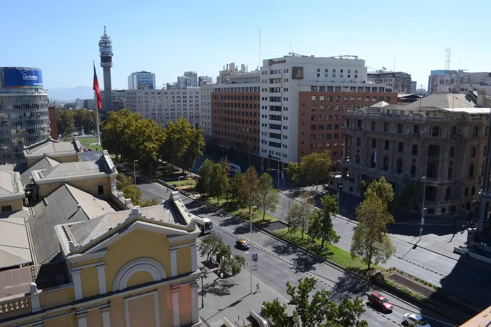
Look east from almost any intersection and the Andean cordillera gives you an instant compass bearing: north is to your left toward the Mapocho River, and south is to your right. Chile uses the Chilean Peso (CLP), and contactless Visa and Mastercard payments are accepted in nearly all restaurants, supermarkets, cafés, and pharmacies, as well as directly at Santiago Metro turnstiles. If you plan to ride both the Metro and Red Metropolitana de Movilidad city buses, pick up a rechargeable physical Tarjeta bip! at any metro ticket window; read our Santiago arrival and transport guide for airport transfer details.
Pacing Your Stay Between City and Mountains
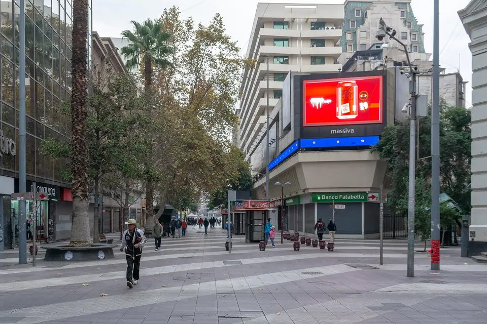
Three full days allow you to cover the historic centre, climb both Cerro Santa Lucía and Cerro San Cristóbal, tour the Museum of Memory and Human Rights, and eat your way through Mercado Central and La Vega. Adding a fourth day lets you head into the high Andean gorge of Cajón del Maipo, taste Carmenère at historic Maipo Valley estates, or ride a coach 90 minutes west to the hillside port of Valparaíso.
Traveller tips
Real advice from people who have been to Santiago: Layout, Communes and Planning Essentials. Every tip is read by our team before it goes live.
No tips yet. Been here? Yours could be the first.
Thank you! Your tip will appear here after a quick review.
More in Santiago
Continue exploring Santiago with related neighbourhood, food, and planning guides
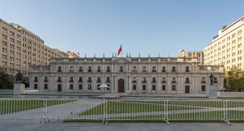
Palacio de La Moneda, Barrio Cívico and Barrio París-Londres
Santiago, Chile
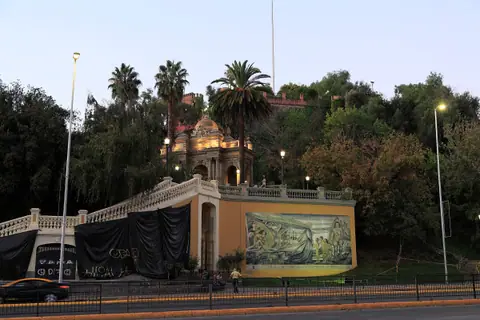
Cerro Santa Lucía, Barrio Lastarria and Parque Forestal
Santiago, Chile
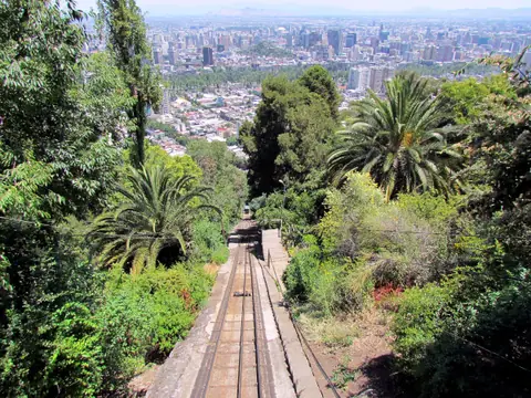
Cerro San Cristóbal, Parque Metropolitano, Funicular and Teleférico
Santiago, Chile
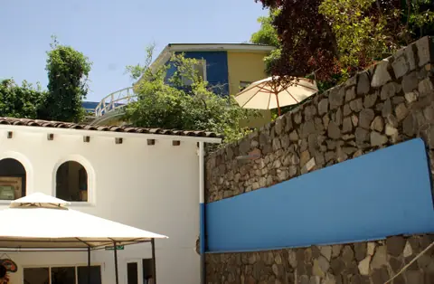
Barrio Bellavista and Pablo Neruda’s House-Museum, La Chascona
Santiago, Chile
