


























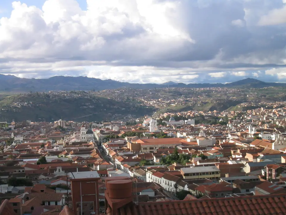
Sucre: Bolivia's UNESCO White City, Altitude & Layout
Plan your visit to Sucre, Bolivia's constitutional capital: understand the UNESCO-listed White City layout, gentle 2,790m altitude, colonial grid, and valley day trips.
Nicknamed La Ciudad Blanca de las Américas (The White City of the Americas), Sucre is the constitutional capital of Bolivia and the birthplace of the republic. While executive and legislative offices moved to La Paz after the 1899 Federal War, Sucre retained the Supreme Court of Justice, its patrician colonial mansions, and one of the oldest universities in the New World (the Universidad Mayor, Real y Pontificia de San Francisco Xavier de Chuquisaca, founded in 1624). Perched at a comfortable 2,790 metres (9,153 feet), nearly 850 metres lower than La Paz and 1,280 metres lower than neighbouring Potosí, Sucre enjoys an eternal spring-like valley climate that makes it the ideal place to begin a Bolivian highland journey.
The City of Four Names: Charcas, La Plata, Chuquisaca & Sucre
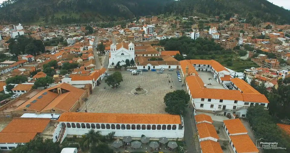
Across five centuries, the city has carried four official names reflecting each chapter of Andean history: Charcas (after the indigenous Yampara and Charcas confederation), Villa de La Plata de la Nueva Toledo (bestowed by the Spanish Crown as the judicial seat overseeing the silver mines of Potosí), Chuquisaca (derived from Choquechaca, "Bridge of Gold"), and since 12 July 1839, Sucre, in honour of Venezuelan Independence Marshal Antonio José de Sucre (1795 to 1830), victor of the Battle of Ayacucho and Bolivia's first constitutional president.
How Sucre Is Organised for Visitors
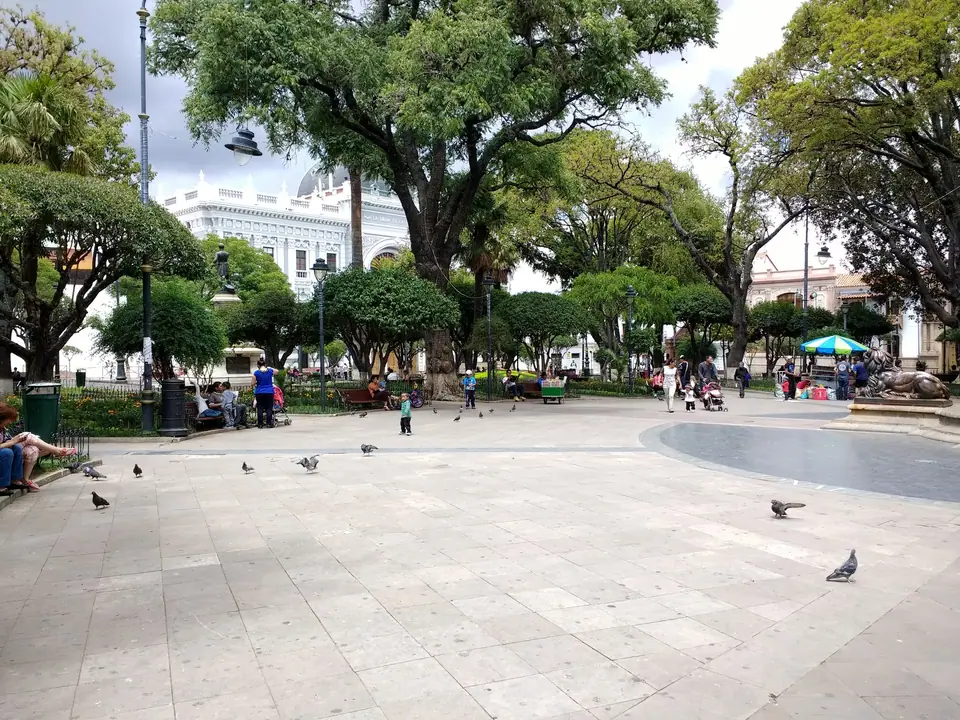
- The UNESCO Colonial Grid (Damero): Centred on tree-shaded Plaza 25 de Mayo, the 1991 UNESCO World Heritage zone preserves whitewashed churches, convents, and courtyard mansions within an eight-by-eight-block grid where strict municipal ordinances mandate white facades, wrought-iron balconies, and curved red clay roof tiles.
- La Recoleta (South-East Foothills): Rising fifteen minutes uphill along Calle Dalence or Calle Grau, the 1601 Franciscan monastery terrace of La Recoleta and the ASUR Indigenous Art Museum looks out over the entire valley.
- Parque Bolívar, Cal Orck'o & Rural Chuquisaca: North-west of the colonial core stretches the French-inspired Parque Simón Bolívar and Supreme Court district, while five kilometres north-east rises the 70-degree limestone cliff of Cal Orck'o Cretaceous Park.
Traveller tips
Real advice from people who have been to Sucre: Bolivia's UNESCO White City, Altitude & Layout. Every tip is read by our team before it goes live.
No tips yet. Been here? Yours could be the first.
Thank you! Your tip will appear here after a quick review.
More in Sucre
Continue exploring Sucre with related neighbourhood, food, and planning guides
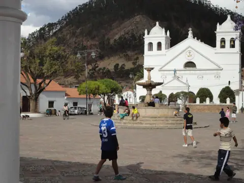
La Recoleta Mirador, 1601 Franciscan Monastery & Museo ASUR Textiles Guide
Sucre, Bolivia
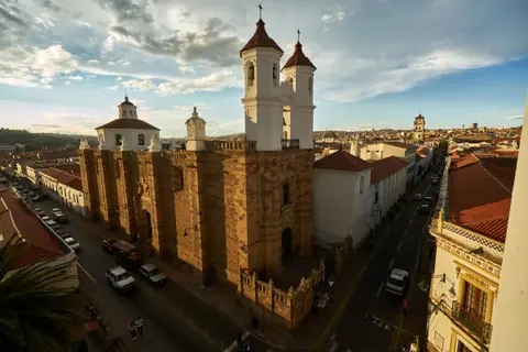
San Felipe de Neri Rooftops, San Francisco & Santa Clara Churches Guide
Sucre, Bolivia
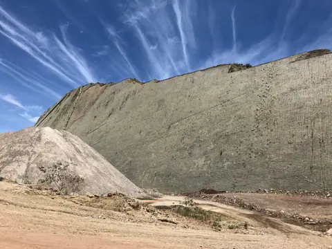
Cal Orck'o Cretaceous Park Guide: 12,000 Dinosaur Footprints Wall in Sucre
Sucre, Bolivia
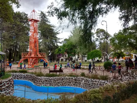
Parque Simón Bolívar, Castillo de la Glorieta & General Cemetery Guide
Sucre, Bolivia
