Photo: Zairon · CC BY-SA 4.0
Lake Garda, Valpolicella and Mantua Excursions
Garda, Sirmione, Valpolicella, Soave, Mantua, Vicenza and Padua compared by distance, road and train.
Verona is a strong base for trips, because Lake Garda, two wine zones, a Gonzaga capital and the cities of the Veneto all lie within a morning's reach. This guide compares them by distance, road and train, and then sets out five routes that combine them into sensible days. Road distances trace direct regional routes, and estimated car times apply to light traffic rather than peak summer weekends. Motorway distances and estimates for longer trips are in the getting there guide.
Distance and transport across seven regional day trips
| Destination | Distance from Verona | Best way | Known for |
|---|---|---|---|
| Soave | About 23 km east | Car by the A4, exit Soave-San Bonifacio | Walled town and white wine |
| Bardolino | About 25 km north-west | Car or lake bus | Wine museum, lake shore |
| Valeggio sul Mincio | About 25 km south-west | Car | Fortified dam, tortellini |
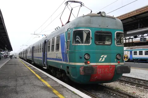
| Mantua | 34 km by rail | Regional train, 46 to 54 minutes | Gonzaga palaces, UNESCO since 2008 |
| Vicenza | 51 km by motorway | Train or A4 | Palladio, UNESCO since 1994 |
| Padua | 29 km beyond Vicenza | Train | Giotto frescoes, a 1222 university |
| Lessinia | North of the city | Car | Mountain plateau and Cimbrian villages |
Eastern Lake Garda roads, ferries and ATV bus connections
Lake Garda covers 369.98 square kilometres, is 51.6 kilometres long at most and reaches a depth of 346 metres, with a shoreline of 158.4 kilometres. Its south-eastern shore sits roughly 30 minutes west of Verona by car outside holiday bottlenecks. The lake has 25 or 26 comuni, split between Lombardy, the Veneto and Trentino, and the largest are Desenzano del Garda, Arco and Riva del Garda.
Three roads ring the lake: SS249 (Gardesana Orientale) from Peschiera del Garda to Riva del Garda, SS45 bis from Salò to Riva, and SS11 from Desenzano to Peschiera. Highway 572 connects Desenzano and Salò. Navigazione Laghi runs a daily ferry from Desenzano to Riva, stopping at Peschiera, Salò and Malcesine. By bus, ATV lines 162, 163 and 164 run all year from Verona to Garda by way of Bardolino and Lazise, and line 165 does so on weekdays and Saturdays. Line 185 is a faster summer service to Garda, and line 184 serves Peschiera, Gardaland and Lazise in summer. Line 482 links the airport with lake towns in the high-season timetable, line 483 runs hourly from Peschiera to Malcesine in high season, and line 484 runs all year from Garda to Torbole and Riva. Lines 483 and 484 do not go to Verona, so change at Garda or Peschiera.
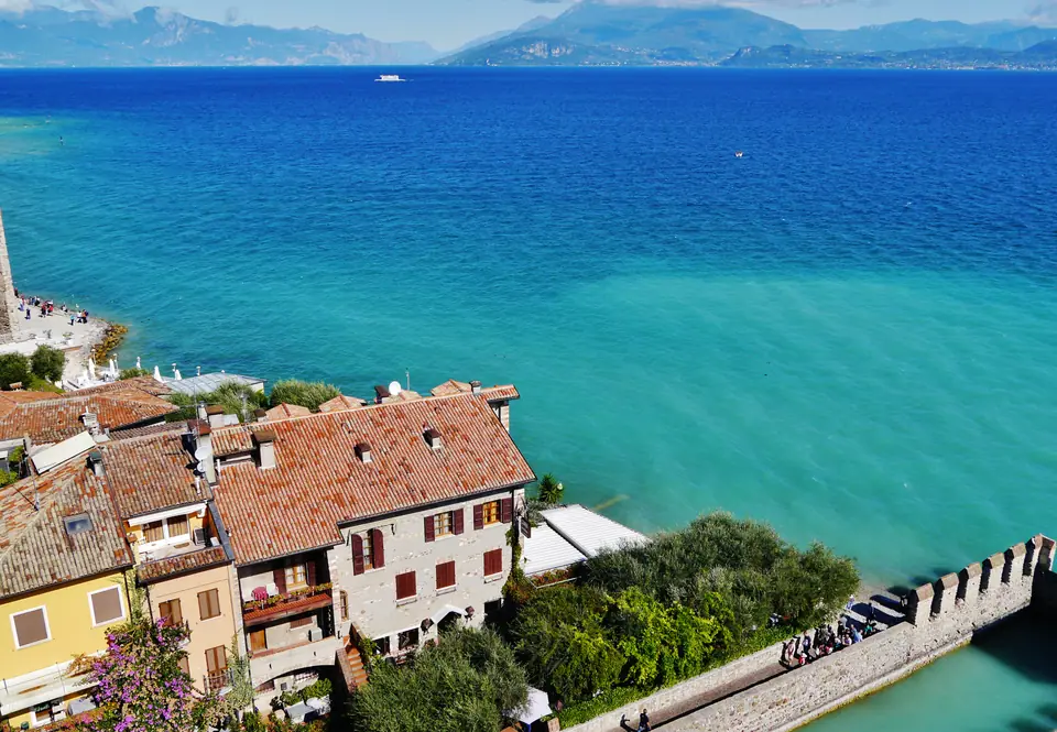
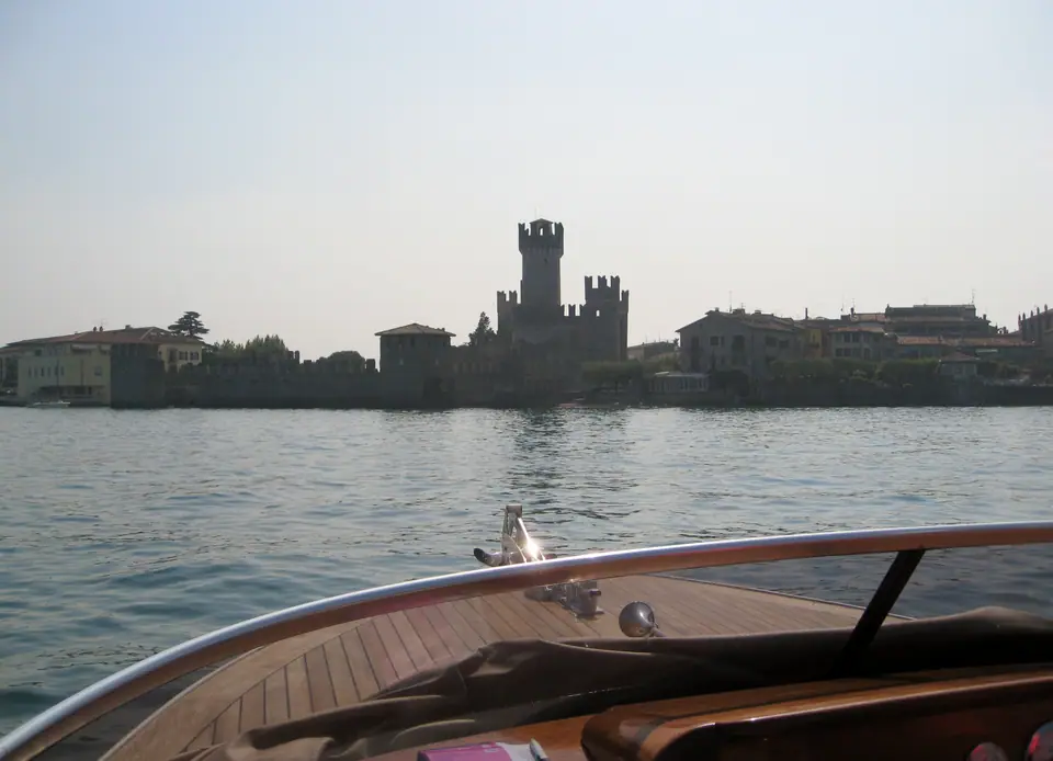
Scaliger water castle at Sirmione and Peschiera dwellings
Sirmione stands on a peninsula that divides the lower lake. Its Scaliger castle was begun in 1277 under Mastino I della Scala, and the Grotte di Catullo, a Roman private villa measuring 167 by 105 metres, is the main historical landmark. Peschiera del Garda, in the province of Verona, has two prehistoric pile-dwelling sites that are part of a 2011 UNESCO listing covering 111 sites in six countries, 19 of them in Italy. Belvedere was occupied around 2500 to 1500 BC and Frassino around 2000 to 1000 BC.
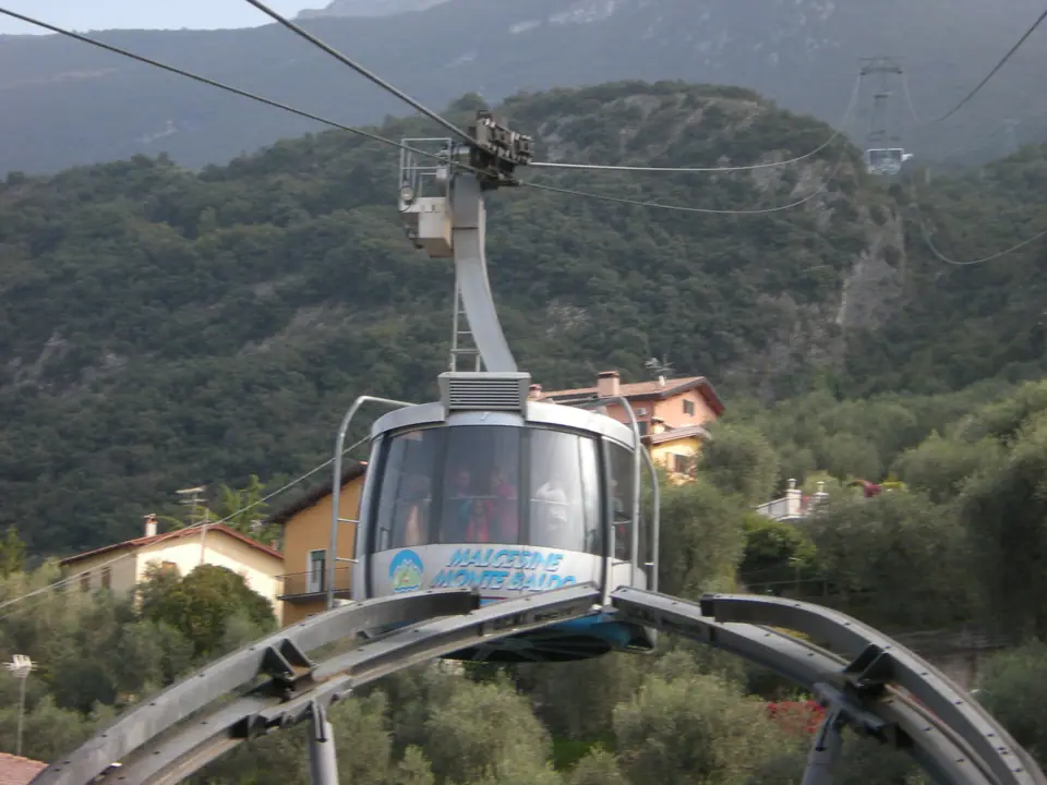
Rotating cable cars climbing Monte Baldo from Malcesine
The Monte Baldo ridge runs about 40 kilometres beside the lake, and its highest point is Cima Valdritta at 2,218 metres. A cable car from Malcesine to Tratto Spino takes about 20 minutes and reaches 1,760 metres, with rotating panoramic cabins on the second section. The operator lists summer 2026 operation from 4 April to 1 November, maintenance from 2 November to 25 December and winter service from 26 December 2026 to 21 February 2027.
Vineyard valleys through San Pietro in Cariano and Negrar
To reach Valpolicella from the A4, leave at Verona Sud and follow the quickway towards Valpolicella-Trento. From the A22, leave at Verona Nord and follow the quickway to its end. The main villages are San Pietro in Cariano, Fumane, Negrar, known as the City of Wine, and Molina, a few kilometres above Fumane, home of the Cascate di Molina park. The wine itself is covered in the food guide, and the Amarone grapes are harvested in the first two weeks of October.
Walled Soave slopes and Valeggio's fortified river dam
Soave's Scaliger walls were built in 1379 by Cansignorio della Scala, run about 1,600 metres and have 24 towers and three original gates. The castle on Tenda hill is first mentioned in 934 and has a keep and three lines of walls. Valeggio sul Mincio holds the Ponte Visconteo of 1393 and the 1690 Villa Maffei Sigurtà, with the park beside it.
Gonzaga palaces and artificial lakes on the Mantua train line
Mantua and Sabbioneta became a UNESCO site in 2008. The Gonzaga ruled the city from 1328 to 1708, and Federico II acquired the ducal title in 1530. The Palazzo Ducale holds the Camera degli Sposi frescoed by Andrea Mantegna, and the Palazzo Te was built between 1525 and 1535 by Giulio Romano. Three artificial lakes created in the 12th century surround the city on three sides. The regional line to Mantua runs from Verona Porta Nuova towards Modena, with direct trains through the day, so check the day's timetable. The station is about 1 kilometre from the centre.
Palladian villas in Vicenza and Giotto's chapel in Padua
Vicenza was inscribed by UNESCO in 1994 as the City of Palladio, and the listing was extended in 1996 to the Palladian villas of the Veneto. Construction of the Teatro Olimpico began in 1580, the year Palladio died. Padua is 29 kilometres from Vicenza and 40 kilometres from Venice, and its University was founded in 1222. Giotto's frescoes in the Scrovegni Chapel were completed in 1305. The Milan to Venice railway line connects all of these, linking all three towns directly from Verona Porta Nuova.
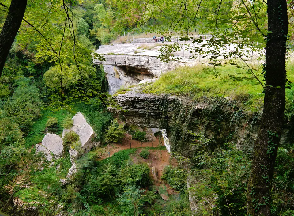
High limestone pastures and Cimbrian villages of Lessinia
The Lessinia plateau, mainly in the province of Verona, has peaks between 1,500 and 1,800 metres, and the Carega group exceeds 2,200 metres. German-speaking settlers received permission to farm near Roverè Veronese in 1287, and the Cimbrian language survived in Giazza, where the Museum of the Cimbri stands. The Ponte di Veja at Sant'Anna d'Alfaedo is a natural arch about 40 metres across and 20 metres wide.
Five routes by car or train
| Route | Stops | Roads and rail |
|---|---|---|
| East shore of the lake | Peschiera, Bardolino, Garda, Malcesine and the cable car | SS249, the Gardesana Orientale |
| Wine hills | San Pietro in Cariano, Fumane, Negrar, Molina | Quickway from Verona Sud or Verona Nord |
| Walled towns | Soave, then back through the plain | A4, exit Soave-San Bonifacio |
| Gonzaga capital | Valeggio and its fortified dam, then Mantua | By car, or Mantua alone by regional train |
| Palladian cities | Vicenza, then Padua | Milan to Venice railway or A4 |
- Rail excursions without a car: Mantua, Vicenza and Padua sit directly on mainline tracks from Verona Porta Nuova, removing motorway queues and ZTL parking stress.
- Bus routes to Lake Garda: ATV coastal coaches link Peschiera del Garda, Lazise, Bardolino and Malcesine reliably in warm weather without hunting for tight lakeside garages.
- Hiring a car for Valpolicella, Soave and Lessinia: Hill estates and plateau trails beyond the Adige valley require private wheels, particularly when linking two wine valleys in one afternoon.
Where it is
- 1Lake Garda, Valpolicella and Mantua Excursions
- Verona Villafranca Valerio Catullo Airport (VRN) · about 24 km from here in a straight line
- Directions in Google Maps
Stations and taxi ranks: OpenStreetMap. Airports: OurAirports. Distances are in a straight line.
Traveller tips
Real advice from people who have been to Verona. Every tip is read by our team before it goes live.
No tips yet. Been here? Yours could be the first.
Thank you! Your tip will appear here after a quick review.
More in Verona
Continue exploring Verona with related neighbourhood, food, and planning guides