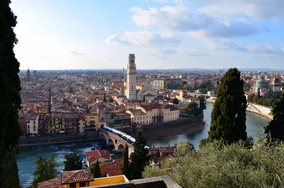
Photo: Antonina Dattola · CC BY-SA 4.0
Verona Orientation: Roman Arena, Adige Loop & Trip Planning
A Roman, Scaliger and Venetian city on a bend of the Adige, with an Arena, a UNESCO centre and wine hills at its edge.
Verona is a city of 255,133 residents in 2025, sitting at 59 metres above sea level on a tight bend of the Adige below the Lessini Mountains. UNESCO inscribed the city in 2000 for an urban plan and architectural record shaped continuously over roughly 2,000 years. Visitors arrive for the Roman Arena, the Romeo and Juliet courtyard and nearby vineyards, yet what stays in the memory is structural continuity. Roman arches, medieval Scaliger brick, Venetian columns and Austrian barracks occupy one compact, walkable peninsula. This orientation guide explains how those layers fit together, how the Adige bend organises your walking and how many days to plan.
Detailed district guides cover the Arena and the old centre, Castelvecchio and San Zeno and Ponte Pietra and the east bank.
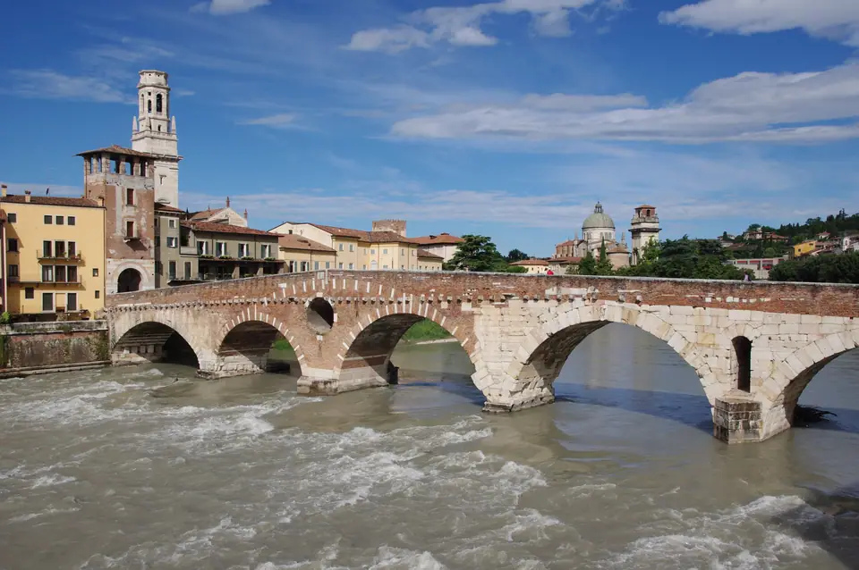
Roman crossroads beside the Adige
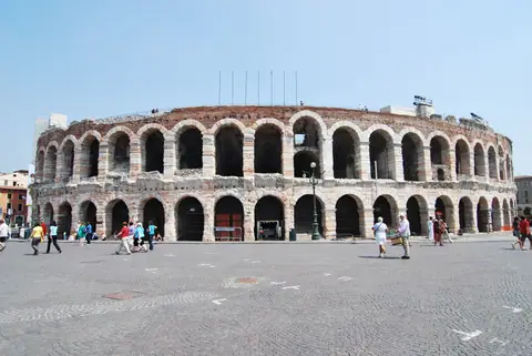
Verona entered the Roman world around 300 BC, became a colonia in 89 BC and gained full municipium status in 49 BC. The Via Postumia between Genoa and Aquileia crossed the Adige right here, explaining why the Arena, the hillside theatre and Ponte Pietra all rose during this early imperial period. Later waves reshaped the town as the western empire fractured: Stilicho checked Alaric's Visigoths near Verona in 402, the Ostrogoths took control in 489 and Alboin's Lombards entered in 569.
From Scaliger rule to Venetian and Austrian Verona
During the 13th and 14th centuries the della Scala family turned Verona into a regional power, led most famously by Cangrande I between 1291 and 1329. Before the Black Death, the walled city already held more than 40,000 inhabitants. Scaliger rule ended when Antonio della Scala fled in 1387, and Verona accepted Venetian governance in 1405 for nearly four centuries. Austria took charge in 1798 and held the fortified city again from 1814 until Verona joined a united Italy in 1866.
| Period | Key dates | What it left behind |
|---|---|---|
| Roman | c. 300 BC to the 5th century | The Arena, the Roman theatre, Ponte Pietra |
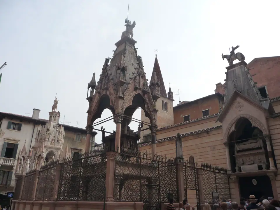
| Scaliger | 13th and 14th centuries | Castelvecchio, the Scaliger Tombs |
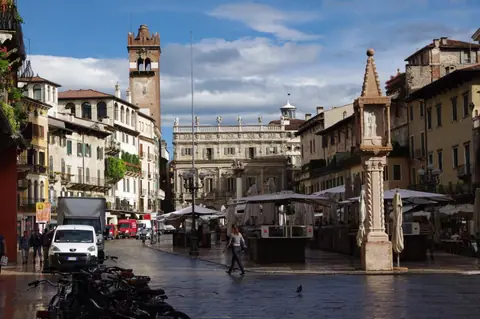
| Venetian | From 1405 | The Lion of St Mark column on Piazza delle Erbe |
| Austrian | 1798, and again after 1814 until 1866 | The last pre-Italian government of the city |
| Italian | From 1866 | The modern city and railway |
What the UNESCO inscription protects
UNESCO lists Verona under criteria ii and iv. The citation highlights how the city evolved without interruption across roughly 2,000 years while preserving distinguished buildings from each era. It also stresses how clearly Verona's ramparts trace European defensive engineering across centuries. Crucially for travellers, those massive outer walls pushed 19th-century industry and railway yards outside the river loop, keeping the historic core intact as a single pedestrian ensemble.
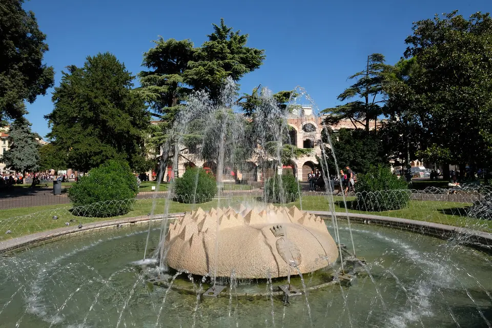
Roman street grid inside the bend
Look closely at a map of the centre and the Roman cardines and decumani still intersect at crisp right angles between Piazza Bra and the river. Verona honours its patron saint Zeno on 12 April. The city remembers the 1st-century BC Latin poet Catullus and the Renaissance painter Paolo Caliari, known as Veronese, who lived from 1528 to 1588. Walking these lanes reveals medieval towers rising straight out of ancient limestone foundations.
Walking distances inside the historic bend
The old core occupies an inner peninsula framed by the Adige. Piazza Bra and the Arena anchor the southern gate of the centre. A ten-minute walk north up Via Mazzini leads straight to Piazza delle Erbe, once the Roman forum, with Juliet's courtyard just off Via Cappello nearby. West along the riverbank sits Castelvecchio, with the Basilica of San Zeno another ten minutes beyond it on foot. Crossing Ponte Pietra puts you directly below the Roman theatre and Colle San Pietro on the east bank.
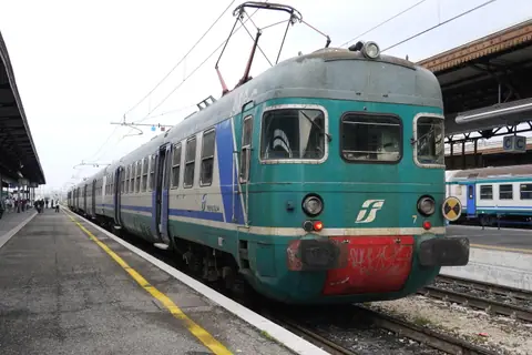
Porta Nuova railway station stands about 1.5 kilometres south of Piazza Bra, roughly a 20-minute walk or a 10-minute ride on urban buses. Because Verona enforces a strict limited traffic zone between the Scaliger bridge and Ponte Aleardi, walking beats driving almost everywhere inside the bend. Vehicle rules and garages are detailed in the getting there guide.
Verona in headline figures
| Fact | Figure |
|---|---|
| Population (2025) | 255,133 |
| Elevation | 59 metres |
| UNESCO inscription | 2000 |
| Airport passengers, 2024 | Over 3.7 million |
| Porta Nuova passengers | About 68,000 a day |
| Arena capacity in summer | About 22,000 |
Rail and motorway crossroads of northern Italy
Verona sits where the A22 motorway descending from Austria and the Brenner Pass meets the A4 linking Milan and Venice. Direct motorway distances explain how neatly the city links northern hubs: 51 kilometres to Vicenza, 68 to Brescia, 103 to Trento and 114 to Venice. South and west sit Bologna at 142 kilometres, Bolzano at 157, Milan at 161 and Florence at 230. Frequent regional and fast trains make Verona straightforward to pair with Venice, Bologna, Florence, Milan or Lake Garda without hiring a car.
Lake Garda, wine hills and nearby Veneto cities
Just north-west of the city, Lake Garda spreads across 369.98 square kilometres from flat southern bays to steep Alpine cliffs. Closer still, the terraced wine hills of Valpolicella spread north of the Adige, while walled Soave sits about 23 kilometres to the east. South lies Mantua, UNESCO-listed since 2008, and east lies Andrea Palladio's Vicenza. The excursions guide weighs distances, buses and rail connections across all of them.
Planning the right length of stay
| Time | What it covers |
|---|---|
| One day | The Arena, Piazza delle Erbe, Juliet's House and Castelvecchio |
| Two days | Add San Zeno, Ponte Pietra, the Duomo and Sant'Anastasia |
| Three days | Add a trip to Lake Garda, Valpolicella or Mantua |
| Summer evenings | Add an opera night in the Arena |
The things to do guide sets out a clear walking sequence, while the best time to visit guide pairs monthly climate with opera and harvest seasons.
Three ways to approach a Verona visit
- The Roman city: Walk the Arena, the hillside theatre and Ponte Pietra through the Arena guide and the Ponte Pietra guide.
- The Scaliger city: Trace medieval fortifications, the river bridge and Gothic tombs in the Castelvecchio guide.
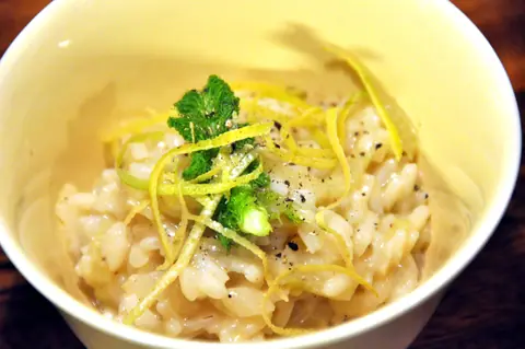
- The local table: Pair Vialone Nano risotto and winter pandoro with Valpolicella and Soave pours in the food guide.
Where it is
- 1Verona
- Verona Villafranca Valerio Catullo Airport (VRN) · about 9 km from Verona in a straight line
- Directions in Google Maps
Stations and taxi ranks: OpenStreetMap. Airports: OurAirports. Distances are in a straight line.
Traveller tips
Real advice from people who have been to Verona. Every tip is read by our team before it goes live.
No tips yet. Been here? Yours could be the first.
Thank you! Your tip will appear here after a quick review.
More in Verona
Continue exploring Verona with related neighbourhood, food, and planning guides