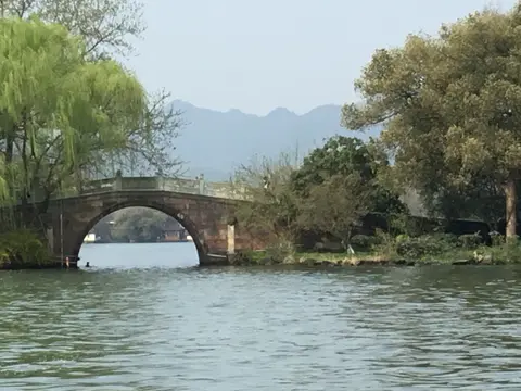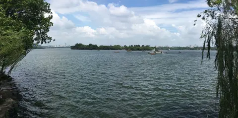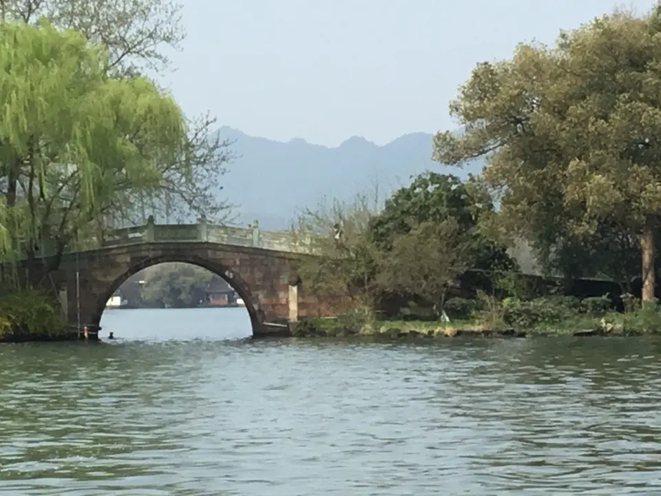
Quick Field Data
- UNESCO Inscription: 2011 (Ref. 1334), cultural landscape in Zhejiang Province; Criteria (ii) and (iii).
- Scale & Footprint: 3,322.88 hectares enclosing the 6.39-square-kilometre freshwater basin (3.2 kilometres north to south by 2.8 kilometres east to west) plus wooded hills on three sides.
- Access & Ticketing: West Lake Scenic Area pioneered free public entry by cancelling general perimeter tickets, keeping lakeshore paths and causeways freely open. Selected temples, pagodas, and ferry crossings to lake islands charge separate local entrance fees.
- Arrival Logistics: Direct commercial flights land at Hangzhou Xiaoshan International Airport (HGH), 28 kilometres east, with Ningbo Lishe (NGB) 135 kilometres southeast and Sunan Shuofang (WUX) 143 kilometres north. Express rail connects directly northeast to Shanghai (169 kilometres).
Engineering a Freshwater Lagoon in Hangzhou
Bordered on three sides by cloud-draped hills and framing Hangzhou on its eastern bank, West Lake Hangzhou China occupies a human-shaped water basin whose survival depended on centuries of hydraulic engineering. Between 4,400 and 2,500 years ago, falling sea levels exposed the Hangzhou-Jiaxing-Huzhou plain and left behind a shallow bay connected to the Qiantang River. Gradually, river sand and rocks sealed the mouth into a lagoon roughly 2,000 years ago, where mountain streams replaced brackish seawater with freshwater. Without human dredging, continuous mountain silt quickly threatened to choke the shallow basin into marshy swamp.
Written locally in Chinese as Xihu (with older English spellings including Si-hu, Hsi Hu, and Xi Hu), the water appears in early Han chronicles under regional names including Qiantang Lake. Finished in 111 AD, the Book of Han describes the Wulin River rising from the Wulin Hills near modern Lingyin Temple and flowing 830 li (350 kilometres) eastward to the sea. During the Qin dynasty around 210 BC, the Records of the Grand Historian relate how First Emperor Qin Shi Huang halted near Hangzhou because fierce Qiantang River tides forced a westward detour toward Shaoxing. Local legend still identifies a giant northern shoreline rock as the anchor stone for Qin Shi Huang's fleet before Eastern Han official Hua Xin built a seawall between 25 and 220 AD.
When the regional government shifted east into a newly walled city in 591 and the Grand Canal made Hangzhou a national transport hub, prefects treated lake dredging as civic engineering priority. Under the Tang dynasty between 780 and 783, official Li Bi channelled lake water underground into six urban ponds to secure drinking supplies. In 822, celebrated poet and governor Bai Juyi dredged lake silt to construct a long causeway between Qiantang and Yuhang gates, helping popularise the name West Lake. Under the Buddhist Wuyue Kingdom (907 to 978), King Qian Liu ordered annual dredging by soldiers while erecting major temples and pagodas around the basin.
Classic lake geography crystallised in 1089 and 1090 under poet-statesman Su Shi, who formally used the name West Lake in official court memorials requesting dredging funds. Su Shi compared the lake's grace to Xizi, one of ancient China's four beauties, and heaped dredged silt into the sweeping Su Causeway across western waters. He also erected three offshore stone pagodas to mark zones closed to water-chestnut cultivation, establishing the origin of Three Ponds Mirroring the Moon. By 1275, military patrols guarded water quality by forbidding rubbish dumping or unauthorised lotus and water-chestnut planting.
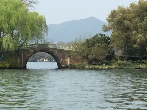
Poets, Ten Scenes, and Hangzhou's Literary Tradition
Few landscapes shaped East Asian art as profoundly as West Lake Hangzhou history demonstrates from the Tang (618 to 907) and Song (960 to 1279) eras onwards. Southern Qi courtesan and poet Su Xiaoxiao (479 to 502) lies buried near the shore, inspiring verse by Li He, Wen Tingyun, and Bai Juyi across centuries. After Khitan, Jurchen, and Mongol pressures pushed northern populations south and relocated the Song imperial capital to Hangzhou in 1129, tall city walls blocked urban residents from wild nature. Civil-service examination scholars gathering every three years flocked to lakeside fortune-tellers, pavilions, and gardens to compose verse celebrating mist-shrouded ridges.
By the late Song period, leisure sightseeing matured with religious pilgrimage into a thriving urban culture complete with tour guides, seasonal shoreline markets, and hundreds of carved wooden pleasure boats gliding across calm water. Scholars curated the Ten Scenes of West Lake, fixing standardised routes and poetic four-character titles embodying ideal balance between human artistry and natural hills. History left sharper political scars as well: Southern Song general Yue Fei, executed in 1142 by appeasement factions despite battlefield success, received posthumous rehabilitation in 1162 when his remains moved beside the lake, where a memorial temple has stood since 1221.
During the Mongol-led Yuan dynasty (1271 to 1368), waning state dredging did not immediately halt cosmopolitan life around Hangzhou's shores. Official chronicles log over 1,200 foreign visitors arriving within six months in 1309 from Turkestan and Europe, and Kublai Khan ordered fresh dredging under the name Pond of Freeing Captive Animals. In his travel book, Marco Polo praised an estimated 30-mile lake ringed by ornate palaces, noble mansions, shoreline temples, and two islands bearing grand imperial-scale buildings, even while satirical poet Lin Sheng mocked elites indulging by the shore while northern capitals stayed lost. Even as Yuan rule placed political focus north and reclaimed edges into farmland, 16th-century Chinese scholars still ranked Hangzhou's basin foremost among 35 namesake West Lakes across China.
Cross-cultural influence travelled far beyond Zhejiang Province through Buddhist pilgrimage and scholarship. Wuyue-era and Song monuments around the wooded valleys, including Lingyin, Zhaoqing, Jingci, Li'an, Liutong, and Taoguang temples together with Baochu, Liuhe, Leifeng, and White pagodas, attracted Japanese monks during the 12th and 13th centuries who carried causeway and island layouts home. Korean literati visiting after the 16th century similarly adopted the ten-scene naming convention, while Qing landscape architects reproduced Hangzhou's causeways and stone bridges at Beijing's Summer Palace.
Skyline Preservation, Special Plans, and Modern Management
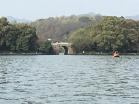
Within the 6.39-square-kilometre basin sit four causeways, three artificial islands, and Gushan, the sole natural island anchoring the northern shore. Facing each other across north and south hills stand slender Baochu Pagoda and Leifeng Pagoda, anchoring the classic shoreline frame seen from Hangzhou's eastern city edge. While eastern Hangzhou expanded rapidly from a regional town into an eight-million-resident metropolis over recent decades, strict municipal height and mass controls enacted under the 2010 Buffer Zone Specific Control Plan protect northern, western, and southern hill skylines. Historic archival inventories preserve textual descriptions going back to the 10th century down to individual willow trees, while every eastern urban building undergoes Heritage Impact Assessments so towers never intrude behind Baochu Pagoda's green hill ridges.
The Management Committee of Hangzhou West Lake Scenic Area (established in 2002) and the Administration of Gardens and Cultural Heritage oversee daily preservation under Zhejiang provincial cultural heritage advice and national State Administration of Cultural Heritage (SACH) guidance. Legal safeguards combine China's Protection of Cultural Relics Law, national Regulations on Scenic Areas, national World Cultural Heritage site rules, and local 1982 Scenic Area regulations supporting the 2008-to-2020 Conservation Plan and 2002-to-2020 Master Plan. Nine specialised zone plans coordinate transport, south-route scenic integration, westward expansion limits, Beishan Historic and Cultural Street preservation, Lingyin control, and rural village improvements. Operating as both an internal municipal body and a grassroots coordinator with local village organisations, the committee balances rising visitor needs with long-term community stewardship. Establishing an inventory of key visual attributes helps track incremental urban shifts across buffer edges. Cancelling general admission fees opened Xihu to extraordinary footfall, drawing 4.426 million visitors during seven days over the 2024 National Day holiday alone, a 30.92 percent rise year on year. Choosing early hours and western forest tracks keeps walks peaceful despite heavy holiday demand.
Beyond the shoreline gardens, surrounding hills carry cultural prestige deeply embedded across Chinese civic identity. The basin's historic profile has appeared on national passports as well as historic currency issues. Every season brings shifting reflection views across calm channels: spring willow buds along Su Causeway, lotus beds near Gushan Island, autumn moon shadows beside the three offshore stone pagodas, and crisp winter ridges framing Baochu Pagoda. Visitors pairing gentle lakeside causeways with hilltop pagodas and monastic footpaths discover why Song-era poets viewed the entire water basin as an outdoor painted scroll engineered between city walls and green ridges. Today the Management Committee balances these delicate historic plantings and scholar bridges with steady municipal enforcement across eastern Hangzhou, safeguarding a thousand-year-old hill horizon that Marco Polo admired seven centuries ago.
Access Zones Across the West Lake Scenic Area
Dividing walks between lakeside causeways, natural Gushan Island, and wooded western valleys reveals how urban Hangzhou connects smoothly into ancient hill sanctuaries.
| Complex Zone | Key Highlights | Access & Ticket Rule |
|---|---|---|
| Su Causeway & Central Islands. | 1089 dredged causeway, four embankments, Gushan natural island, and Three Ponds Mirroring the Moon pagodas. | Shoreline promenades and causeways stay free year-round. Boat rides to artificial lake islands charge separate local fares. |
| Northern Ridge & Beishan Street. | Baochu Pagoda hill ridge, Su Xiaoxiao's tomb, Yue Fei's temple and tomb, and historic stone mansions. | Hillside paths and lakeside streets stay free year-round. Enclosed temple courtyards issue individual admission tickets. |
| Southern Shore & Leifeng Ridge. | Leifeng Pagoda standing opposite northern Baochu Pagoda, Jingci Temple, and quiet southern gardens. | Lakefront paths remain open without gates. Pagoda towers and temple halls charge municipal entry passes. |
| Western Hills & Lingyin Valley. | Lingyin Temple, Wulin Hills stream headwaters feeding the basin, forested tracks, and Buddhist grottoes. | Mountain footpaths remain open across scenic ridges. Major monastery compounds enforce gated ticket entry. |
Three Engineered Details Around Hangzhou's Lake Basin
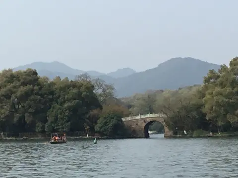
- Three Stone Pagodas and Silt Control: Gaze across central water toward Three Ponds Mirroring the Moon. Erected by Su Shi in 1089 to ban water-chestnut farming in deep channels, these miniature offshore pagodas blended poetic reflection views with practical hydraulic upkeep.
- Paired North-South Pagoda Sightlines: Align Baochu Pagoda on the northern hills with Leifeng Pagoda on the southern bank from Gushan Island. Municipal skyline regulations preserve these twin hill ridges intact even behind modern eastern Hangzhou towers.
- Dredged Silt Causeways and Inner Basins: Stroll the shaded spine of Su Causeway to notice how artificial embankments split shallow inner marshes from open lake channels. Turning annual canal mud into planted walkways preserved freshwater depth for centuries.
Best Time to Visit West Lake Hangzhou and Itinerary Notes
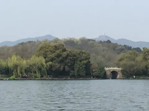
Choosing the best time to visit West Lake Hangzhou depends on mild seasonal weather and avoiding peak national holiday crowds. Spring and autumn bathe surrounding wooded hills, willow banks, and bridges in clear crisp light while avoiding summer heat and dense October Golden Week crowds. A rewarding day itinerary begins at sunrise along Su Causeway and Gushan Island, crosses by boat past Three Ponds Mirroring the Moon, climbs either Baochu or Leifeng Pagoda for full basin views, and finishes amid shaded mountain trails around Lingyin and Jingci temples.
Understanding how to reach Hangzhou's lakeshore starts at Hangzhou Xiaoshan International Airport (HGH), 28 kilometres east of the water, with Ningbo Lishe (NGB) 135 kilometres southeast and Sunan Shuofang (WUX) 143 kilometres north. High-speed rail also links Hangzhou quickly southwest from Shanghai (169 kilometres), making it simple to pair lakeside promenades with wider regional exploration via the UNESCO World Heritage Atlas.